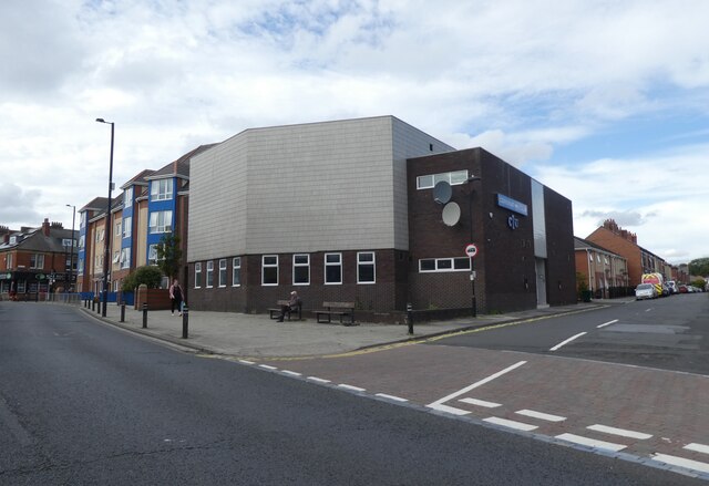
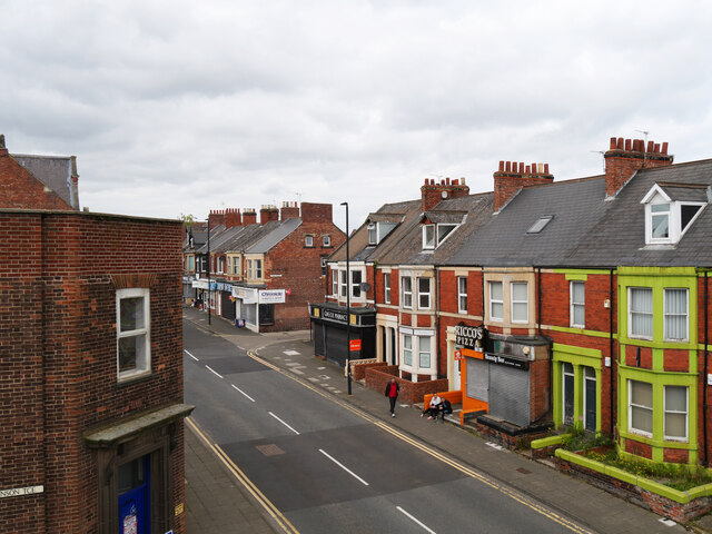
Bigges Main
Settlement in Northumberland
England
Bigges Main

Bigges Main is a small village located in the county of Northumberland, in the northeast region of England. Situated near the town of Ashington, it is part of the Northumberland coalfield area, historically known for its mining activities. The village is nestled within a picturesque rural landscape, characterized by rolling hills, fields, and scattered woodlands.
Dating back to the late 19th century, Bigges Main was established as a mining settlement to accommodate the workers of the nearby coal mines. At its peak, the village was home to a thriving community of miners and their families, who relied on the coal industry for their livelihoods. However, with the decline of the coal mining industry in the latter half of the 20th century, the village experienced significant changes.
Today, Bigges Main has undergone a transformation and adapted to the post-industrial era. The village now offers a tranquil and peaceful environment, attracting residents seeking a rural lifestyle. The old miners' cottages and terraced houses have been refurbished, preserving the historical character of the village. The surrounding countryside provides ample opportunities for outdoor activities such as hiking, cycling, and birdwatching.
While Bigges Main may be a small village, it benefits from its proximity to nearby towns and cities. Ashington and Morpeth offer a range of amenities, including shops, schools, and healthcare facilities. The village also benefits from good transportation links, with easy access to major roads and public transportation, making it an attractive location for commuters.
Overall, Bigges Main is a charming village with a rich industrial heritage, offering a peaceful rural lifestyle and scenic surroundings.
If you have any feedback on the listing, please let us know in the comments section below.
Bigges Main Images
Images are sourced within 2km of 54.997674/-1.548223 or Grid Reference NZ2967. Thanks to Geograph Open Source API. All images are credited.


Bigges Main is located at Grid Ref: NZ2967 (Lat: 54.997674, Lng: -1.548223)
Unitary Authority: Newcastle upon Tyne
Police Authority: Northumbria
What 3 Words
///silly.major.defend. Near Wallsend, Tyne & Wear
Nearby Locations
Related Wikis

Wallsend Boys Club
Wallsend Boys Club is an English youth football club based in Wallsend, North Tyneside. The club is well known for producing professional footballers;...
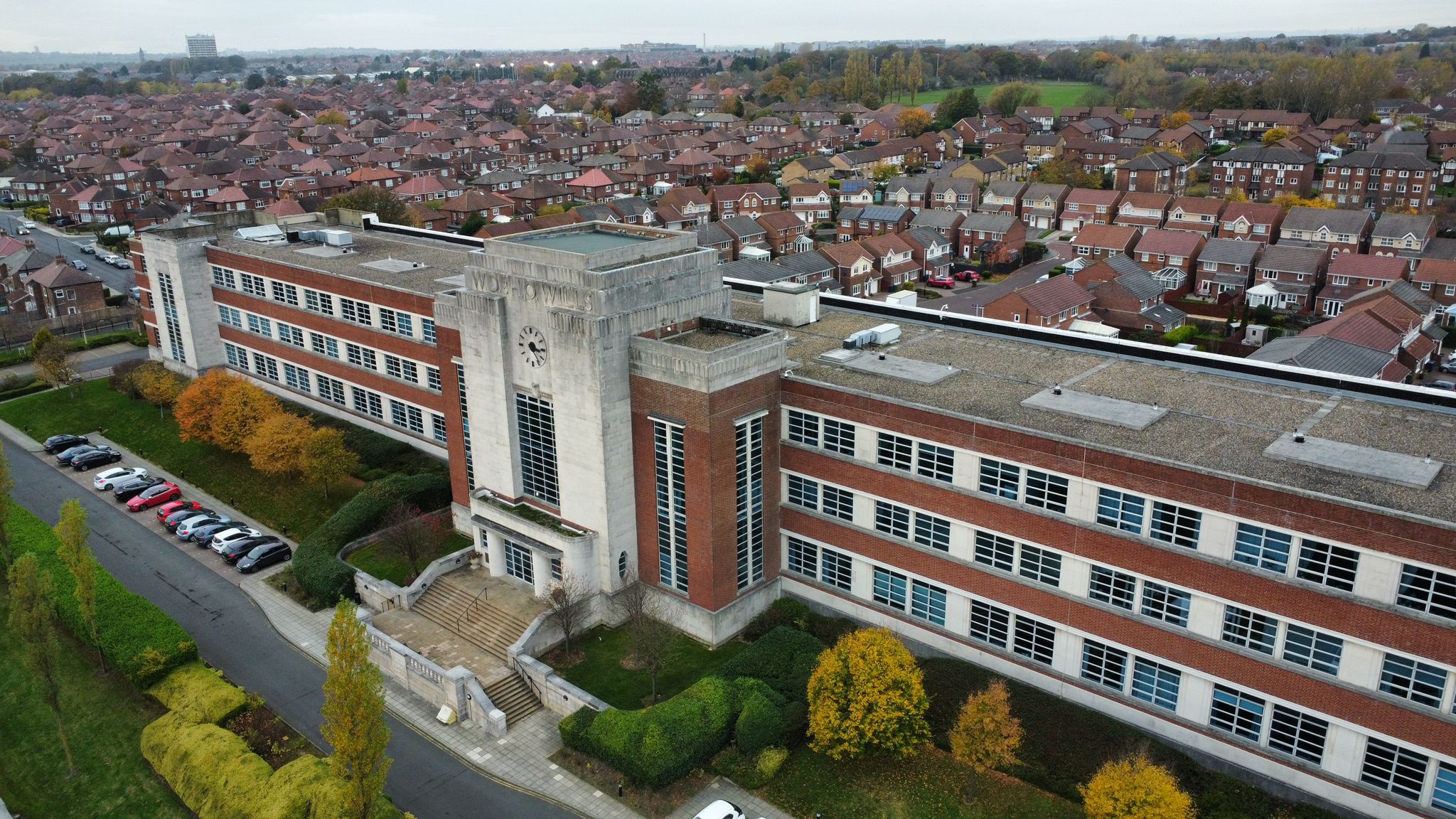
Wills Building
The official website of The Wills BuildingThe Wills Building is a well-known landmark in Newcastle upon Tyne. It was built in the Art Deco style as a...
Newcastle Benfield F.C.
Newcastle Benfield Football Club is an English football club based in Newcastle upon Tyne, England. == History == The roots of the club can be traced back...
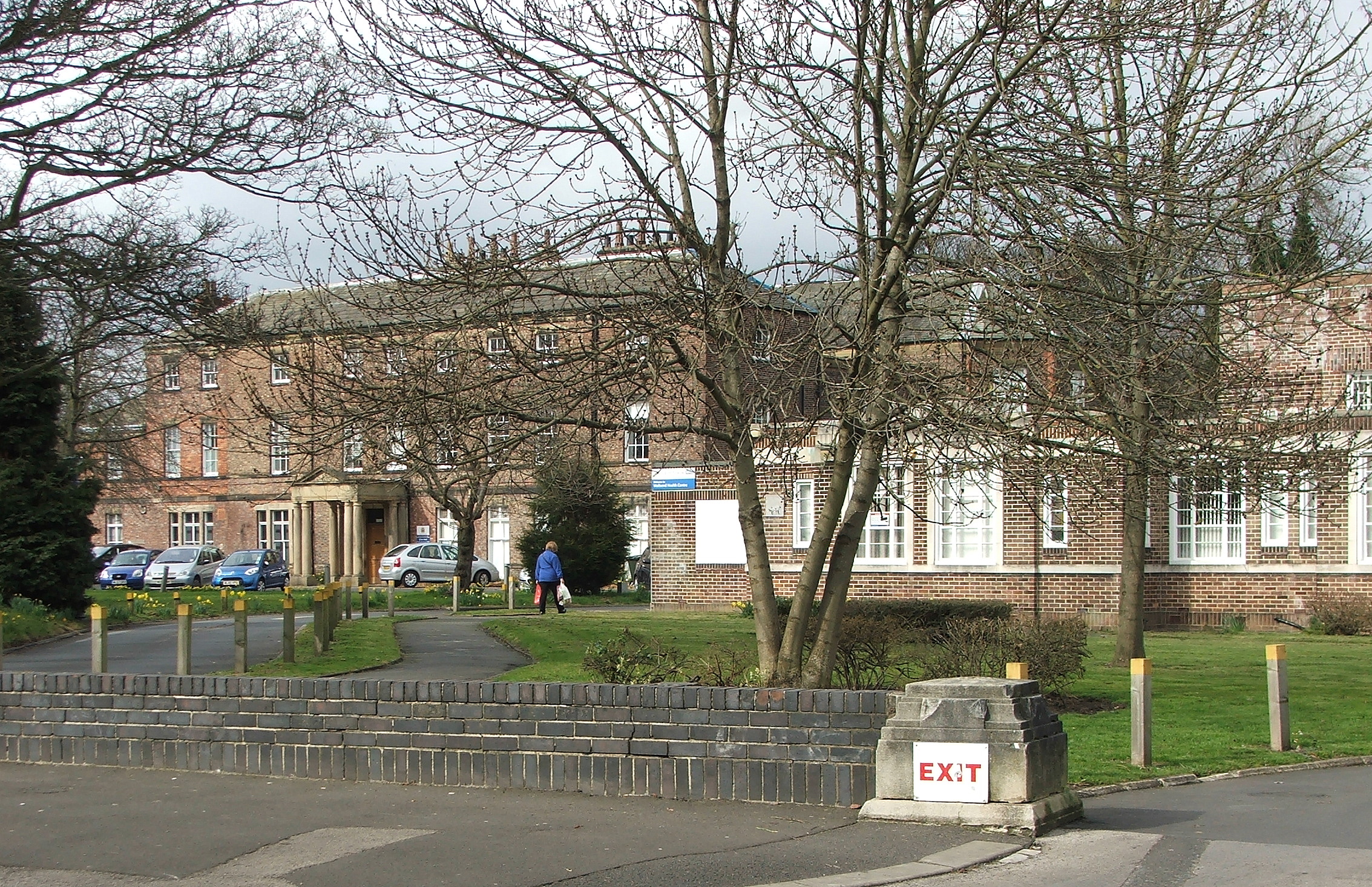
Sir G B Hunter Memorial Hospital
The Sir G B Hunter Memorial Hospital is a health facility at Wallsend Green, Wallsend, Tyne and Wear, England. It is managed by Cumbria, Northumberland...
Nearby Amenities
Located within 500m of 54.997674,-1.548223Have you been to Bigges Main?
Leave your review of Bigges Main below (or comments, questions and feedback).