Oldhamstocks

Settlement in East Lothian

Scotland

Oldhamstocks

Woodlined minor road near Hoprigshiels Cottages Looking north-westward,
Woodlined minor road near Hoprigshiels Cottages Credit: Peter Wood

Oldhamstocks is a small village located in East Lothian, Scotland. Situated approximately 25 miles east of Edinburgh, it is nestled in a rural area surrounded by rolling hills and picturesque countryside. The village has a population of around 300 people, giving it a close-knit and community-oriented atmosphere.

The history of Oldhamstocks dates back to the medieval period, and remnants of its past can still be seen today. One notable historical site is the Oldhamstocks Tower, a 16th-century tower house that once served as a fortress. It stands as a testament to the village's rich heritage.

Despite its small size, Oldhamstocks offers a range of amenities to its residents and visitors. The village has a primary school, a community hall, and a charming village pub that serves as a social hub. There are also several walking trails in the surrounding area, allowing visitors to explore the stunning natural beauty of East Lothian.

Oldhamstocks is ideally situated for those looking to enjoy a peaceful and rural lifestyle while remaining within easy reach of larger towns and cities. The nearby town of Dunbar offers additional amenities, including shops, supermarkets, and recreational facilities. The village is also well-connected by road, making it convenient for commuting or exploring the wider region.

Overall, Oldhamstocks is a beautiful and tranquil village in East Lothian, Scotland. Its rich history, natural surroundings, and strong sense of community make it a charming place to visit or call home.

If you have any feedback on the listing, please let us know in the comments section below.

Oldhamstocks Images

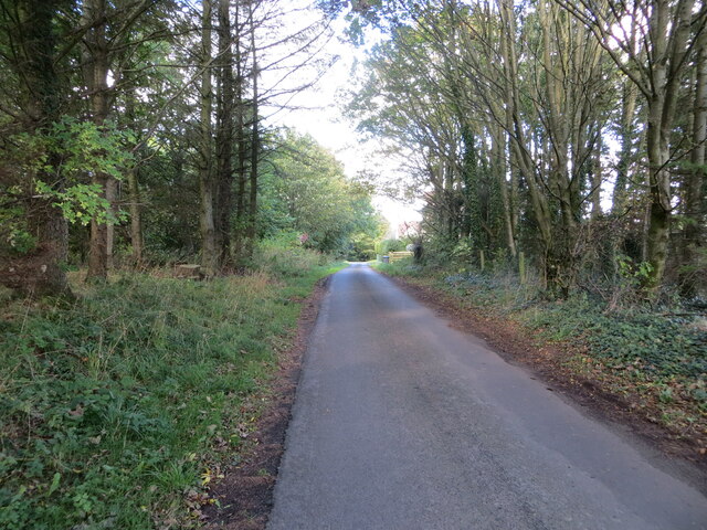
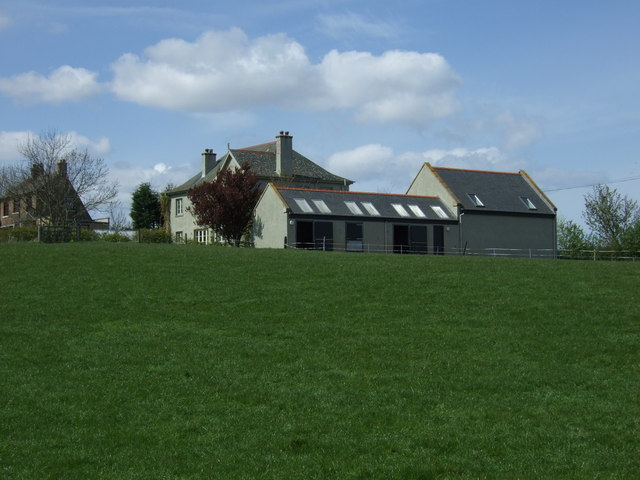
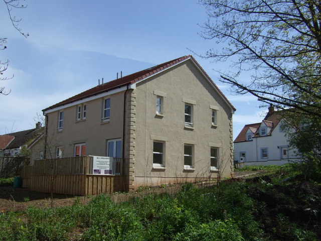
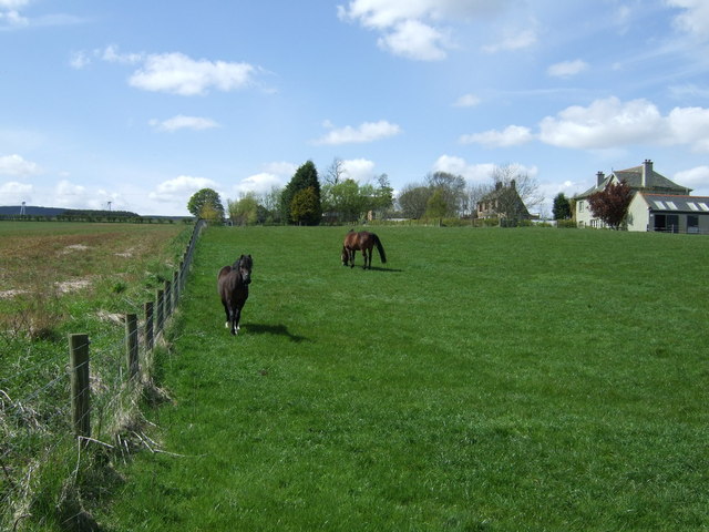
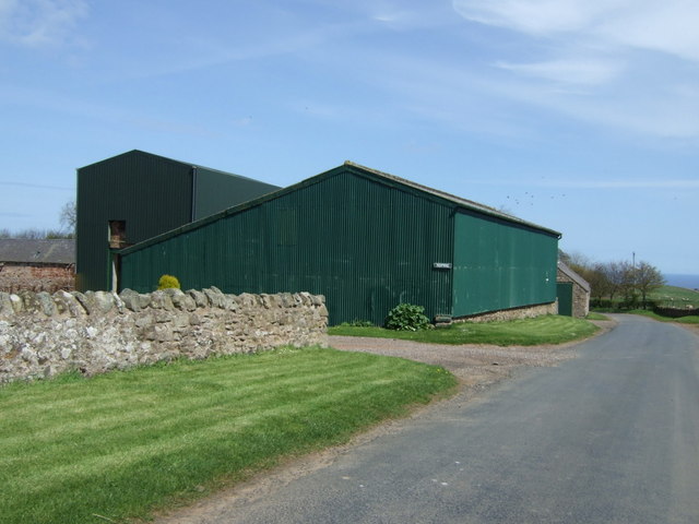
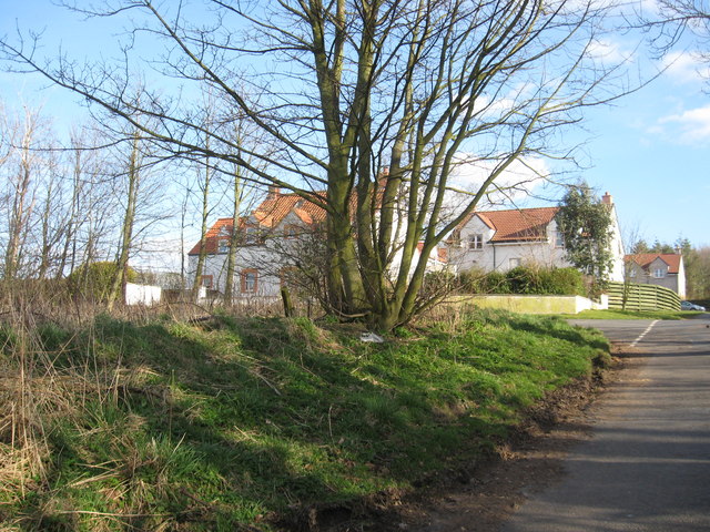
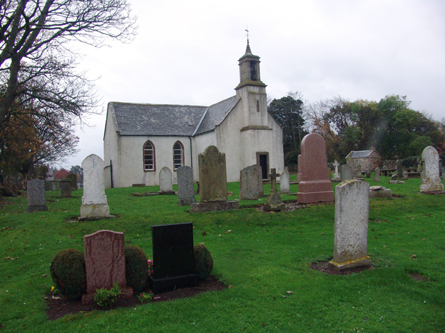
Images are sourced within 2km of 55.92731/-2.4136967 or Grid Reference NT7470. Thanks to Geograph Open Source API. All images are credited.

Woodlined minor road near Hoprigshiels Cottages Looking north-westward,
Woodlined minor road near Hoprigshiels Cottages
Looking north-westward,
House near Oldhamstocks
New build house, Hoprig
Grazing near Hoprig
Grazing near Hoprig
Minor road towards Fulfordlees Heading south east.
Minor road towards Fulfordlees
Heading south east.
Uphill towards Oldhamstocks
Welcome to Scottish Borders Heading south east, Berwick Bridge.
Welcome to Scottish Borders
Heading south east, Berwick Bridge.
Road junction, Hoprig
Farm buildings, Hoprig
Grazing, Hoprig
Grazing, Hoprig
Heading north east, Hoprig Towards Cockburnspath.
Heading north east, Hoprig
Towards Cockburnspath.
Hoprig Borders village of Hoprig - Cockburnspath/Oldhamstocks/Abbey St Bathens junction.
Hoprig
Borders village of Hoprig - Cockburnspath/Oldhamstocks/Abbey St Bathens junction.
Hoprigshiels Farm Road On the left is the only example I know of a hedge of fir trees.
Hoprigshiels Farm Road
On the left is the only example I know of a hedge of fir trees.
Farm Track
Farm Track
Abandoned Shooting Ground Buildings Nasty little corner. Used to be a shooting ground. Prefab building has rotten floors, lots of other debris.
Abandoned Shooting Ground Buildings
Nasty little corner. Used to be a shooting ground. Prefab building has rotten floors, lots of other debris.
Country road at Ferneylea
Stubble, forest and electricity pylons
Houses at Hoprig
Houses at Hoprig
Show me another place!

Oldhamstocks is located at Grid Ref: NT7470 (Lat: 55.92731, Lng: -2.4136967)

Unitary Authority: East Lothian

Police Authority: The Lothians and Scottish Borders

What 3 Words

///loosed.procures.treat. Near Dunbar, East Lothian

Related Wikis

Oldhamstocks

Oldhamstocks or Aldhamstocks ("old dwelling place") is a civil parish and small village in the east of East Lothian, Scotland, adjacent to the Scottish...

Blackcastle Hill, East Lothian

Blackcastle Hill is an Iron Age hill fort south of Innerwick, East Lothian, Scotland. It is near Cocklaw in the Lammermuir Hills at grid reference NT729724...

Dunglass Castle, East Lothian

Dunglass Castle was a castle at Dunglass in East Lothian, Scotland. It was a seat of the Home family and frequently visited by the Stewart kings. A fortification...

Dunglass Collegiate Church

Dunglass Collegiate Church is situated in south-east East Lothian just off the old A1 highway, one mile north of Cockburnspath in Berwickshire, Scotland...

Nearby Amenities

Located within 500m of 55.92731,-2.4136967
Bus Stop
Oldhamstocks
Naptan AtcoCode: 627010050020
Naptan Bearing: W
Naptan CommonName: Oldhamstocks
Naptan Indicator: Market Cross
Naptan NaptanCode: 58234623
Naptan Street: Main Street
Naptan Verified: no
Source: naptan_import
Lat/Long: 55.9277188/-2.4182028
Naptan AtcoCode: 627010060020
Naptan Bearing: E
Naptan BusStopType: CUS
Naptan CommonName: Oldhamstocks
Naptan Indicator: Market Cross
Naptan NaptanCode: 58234787
Naptan Street: Main Street
Naptan Verified: no
Source: naptan_import
Lat/Long: 55.9276983/-2.4172373
Post Box
Post Box Type: lamp
Lat/Long: 55.9275504/-2.4179828
Oldhamstocks
Name Sco: Aldhamstocks
Place: village
Population: 193
Website: https://www.oldhamstocksvillage.com/home
Wikidata: Q7085672
Wikipedia: en:Oldhamstocks
Lat/Long: 55.9278535/-2.4189365
Oldhamstocks Cottage
Addr City: Oldhamstocks
Addr Postcode: TD13 5XN
Email: olivia@oldhamstockscottage.com
Phone: +44 1368 830233
Tourism: chalet
Website: http://www.oldhamstockscottage.com/
Lat/Long: 55.9280975/-2.4197571
Oldhamstocks Mercat Cross
Historic: memorial
Memorial: mercat_cross
Lat/Long: 55.9278355/-2.4191125
Power: pole
Lat/Long: 55.931053/-2.4108015
Power: pole
Lat/Long: 55.9303063/-2.4115024
Power: pole
Lat/Long: 55.9296824/-2.412085
Power: pole
Lat/Long: 55.9289695/-2.4127234
Power: pole
Lat/Long: 55.9282252/-2.4133447
Power: pole
Lat/Long: 55.9277988/-2.4126525
Power: pole
Lat/Long: 55.9273508/-2.4119882
Power: pole
Lat/Long: 55.9268979/-2.4112766
Power: pole
Lat/Long: 55.9262523/-2.4102942
Power: pole
Lat/Long: 55.9246672/-2.408082
Power: pole
Lat/Long: 55.9237855/-2.408785
Power: pole
Lat/Long: 55.923364/-2.4099953
Power: pole
Lat/Long: 55.9281673/-2.4147808
Power: pole
Lat/Long: 55.9280975/-2.416032
Power: pole
Lat/Long: 55.928395/-2.4168296
Power: pole
Lat/Long: 55.9287141/-2.4176981
Power: pole
Lat/Long: 55.9291742/-2.4189708
Power: pole
Lat/Long: 55.9295138/-2.4198995
Give Way
Direction: forward
Lat/Long: 55.9273076/-2.4136494
The data included in this document is from www.openstreetmap.org. The data is made available under ODbL.

Have you been to Oldhamstocks?

Leave your review of Oldhamstocks below (or comments, questions and feedback).