Oldberrow
Settlement in Worcestershire Stratford-on-Avon
England
Oldberrow
Oldberrow is a small village located in the county of Worcestershire, England. Situated approximately 14 kilometers southeast of the town of Redditch, Oldberrow is nestled within the picturesque countryside of the West Midlands region. The village has a population of around 250 residents, giving it a tight-knit and community-oriented atmosphere.
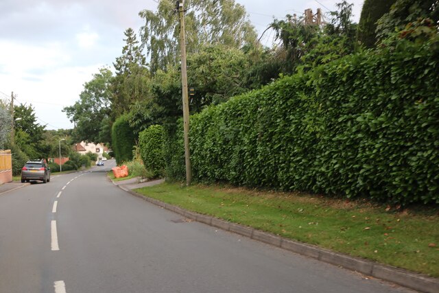
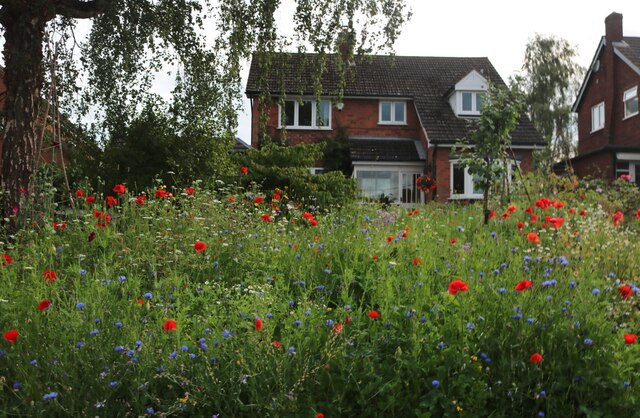
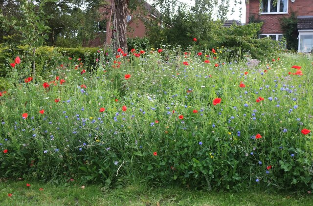
Characterized by its rural charm, Oldberrow boasts a tranquil and idyllic setting. The village is surrounded by rolling hills, verdant fields, and patches of woodland, providing residents with ample opportunities for outdoor activities and leisurely walks. The nearby Clent Hills and the Lickey Hills are popular destinations for hikers and nature enthusiasts.
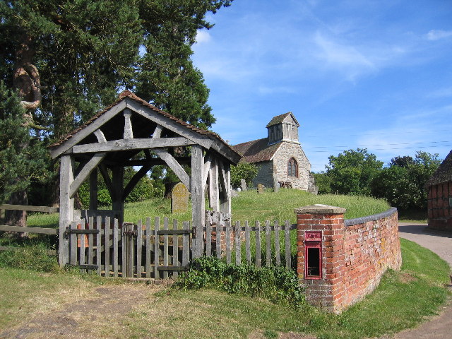
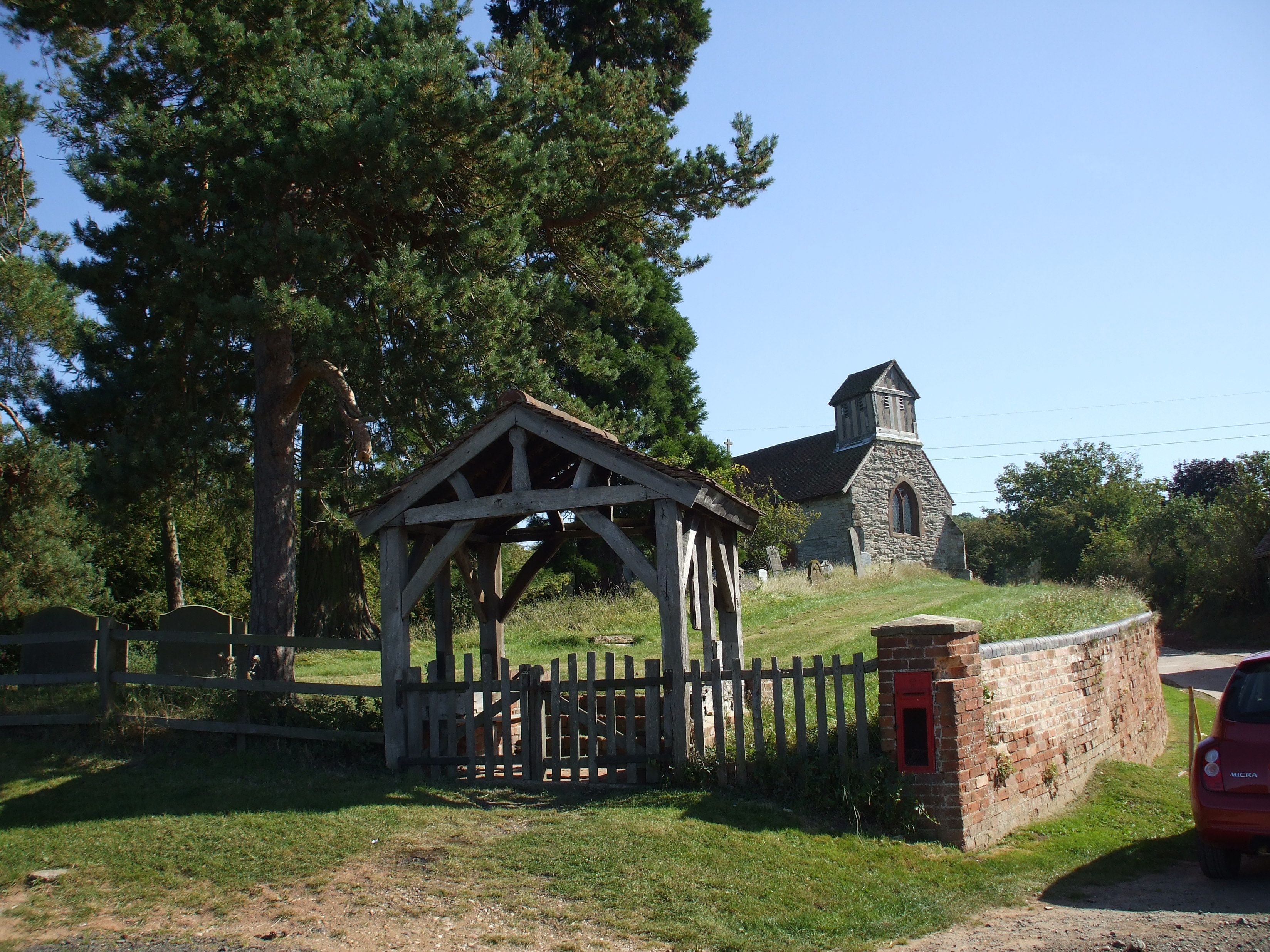
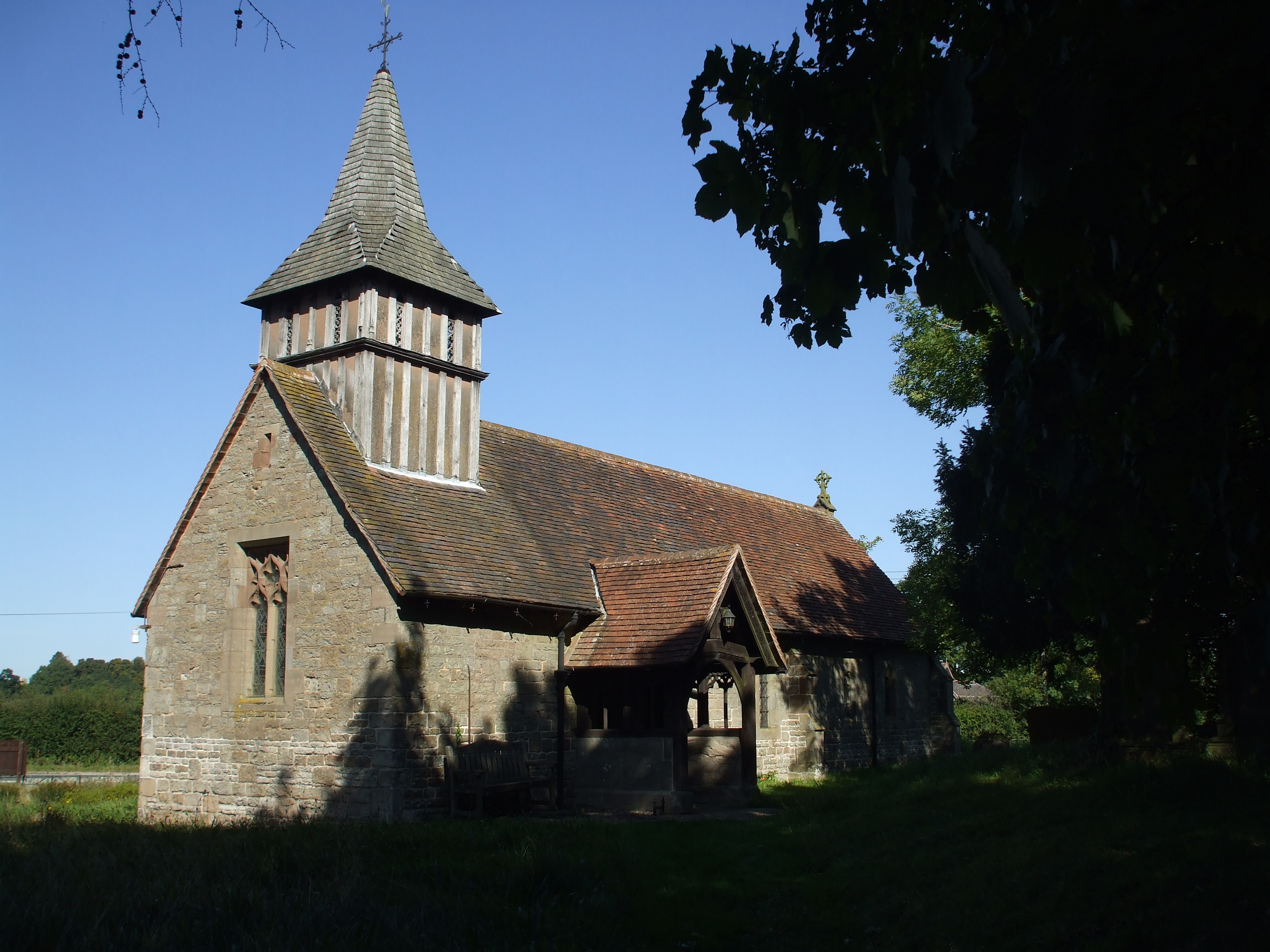
Oldberrow is known for its historic buildings and architectural heritage. St. Mary's Church, a Grade II listed building dating back to the 12th century, stands as a prominent landmark in the village. The church features stunning medieval stained glass windows and intricate stonework, attracting visitors from near and far.
Despite its small size, Oldberrow offers some essential amenities to its residents. The village has a local pub, The Peacock Inn, which serves as a social hub for both locals and tourists. Additionally, Oldberrow is in close proximity to larger towns, such as Redditch and Stratford-upon-Avon, where residents can find a wider range of services and amenities.
Overall, Oldberrow presents itself as a charming and peaceful village, offering a tranquil escape from the bustle of city life while still providing access to nearby urban centers.
If you have any feedback on the listing, please let us know in the comments section below.
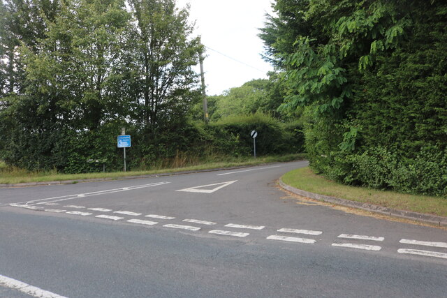
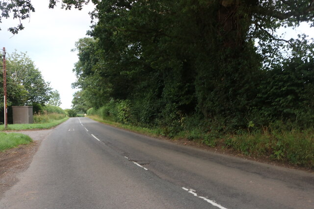
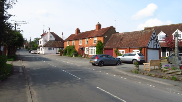
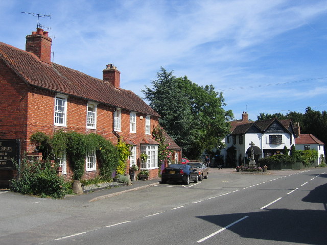
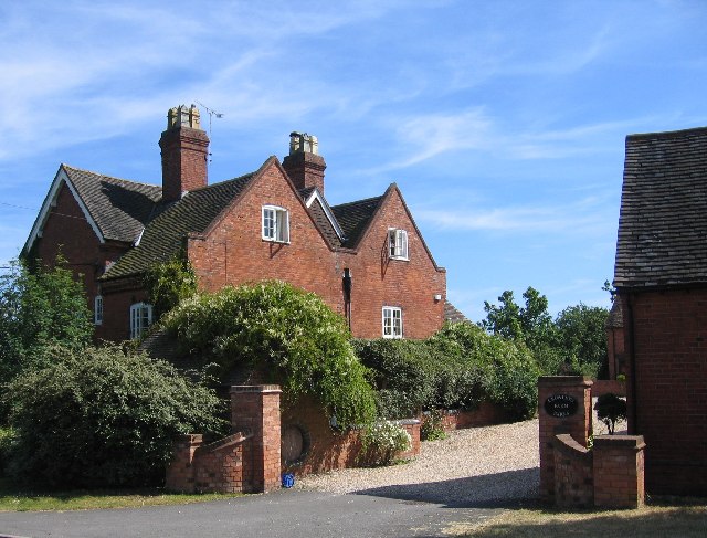
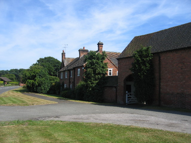
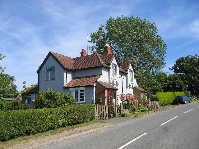
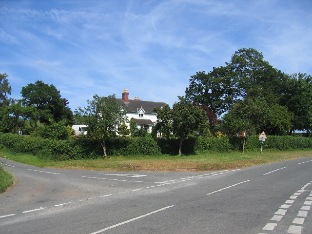
Oldberrow Images
Images are sourced within 2km of 52.289852/-1.827874 or Grid Reference SP1165. Thanks to Geograph Open Source API. All images are credited.


Oldberrow is located at Grid Ref: SP1165 (Lat: 52.289852, Lng: -1.827874)
Administrative County: Warwickshire
District: Stratford-on-Avon
Police Authority: Warwickshire
What 3 Words
///just.lifestyle.deeds. Near Henley in Arden, Warwickshire
Nearby Locations
Related Wikis

Barrells Hall
Barrells Hall is a large house in the Warwickshire countryside near Henley-in-Arden. The nearest village is Ullenhall, which for many years was the estate...
Morton Bagot
Morton Bagot is a small village in the Stratford-on-Avon District of Warwickshire, England. It lies about 1.5 miles (2 km) east of the Birmingham-Alcester...
Oldberrow
Oldberrow is a village in the Stratford-on-Avon District of Warwickshire, England. The parish was part of Worcestershire until 1896, when it was transferred...

Ullenhall
Ullenhall is a large town and civil parish in the borough of Redditch, England, situated about 10 miles (16 km) west of Henley in Arden and 18.2 miles...

Henley-in-Arden railway station
Henley-in-Arden is a railway station serving the town of Henley-in-Arden, Warwickshire, England. It is on the North Warwickshire Line between Birmingham...

Henley Sidings
Henley Sidings is a 1.4-hectare (3.5-acre) nature reserve near Henley-in-Arden in the county of Warwickshire, England. It is managed by the Warwickshire...

Arden Way
The Arden Way is waymarked by the Heart of England Way Association and forms a circular walk to be enjoyed with the rest of Heart of England Way and the...
Venture Academy
Venture Academy (formerly Arden Fields School) is a coeducational special school located in Henley-in-Arden, Warwickshire, England. The school admits pupils...
Nearby Amenities
Located within 500m of 52.289852,-1.827874Have you been to Oldberrow?
Leave your review of Oldberrow below (or comments, questions and feedback).