Old Tupton
Settlement in Derbyshire North East Derbyshire
England
Old Tupton
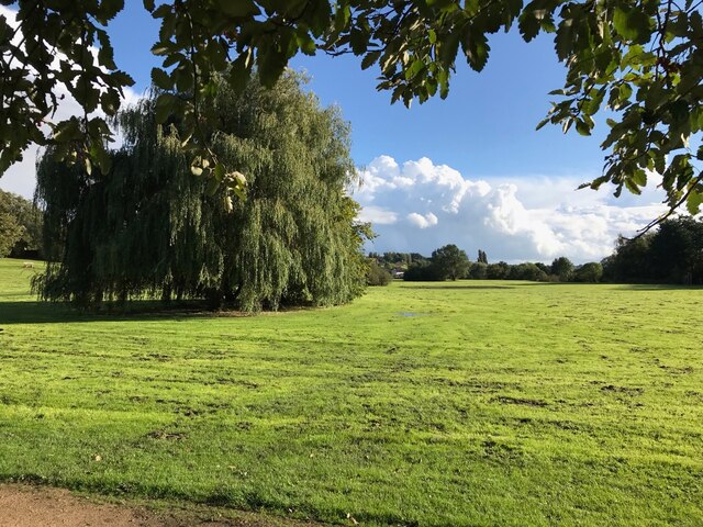
Old Tupton is a picturesque village located in the county of Derbyshire, England. Situated near the town of Clay Cross, it lies about 7 miles south of the city of Chesterfield. The village is known for its charming rural setting and historical significance.
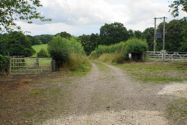
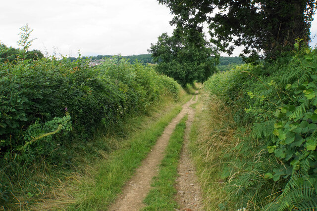
One of the main attractions in Old Tupton is its traditional English architecture, with many of the buildings dating back to the 17th and 18th centuries. These well-preserved structures, constructed from local stone, add to the village's character and charm. The village is also surrounded by stunning countryside, offering visitors and residents alike beautiful views and ample opportunities for outdoor activities.
Old Tupton's rich history is evident in its landmarks and sites of interest. The village is home to the Grade II listed Tupton Hall, a grand manor house that has served as a private residence since the 14th century. The nearby St. John the Baptist Church, with its Norman origins, is another notable landmark that attracts visitors interested in the area's architectural heritage.
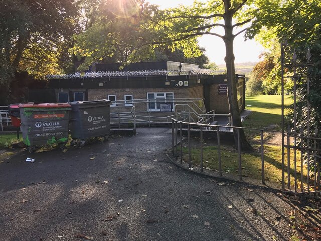
Despite its small size, Old Tupton has a strong sense of community, with various local organizations and events bringing residents together. The village also boasts a primary school, providing education for the local children.
Overall, Old Tupton offers a tranquil and idyllic setting for those seeking a taste of traditional English village life. Its historical buildings, natural beauty, and strong community spirit make it a charming destination for both tourists and residents alike.
If you have any feedback on the listing, please let us know in the comments section below.
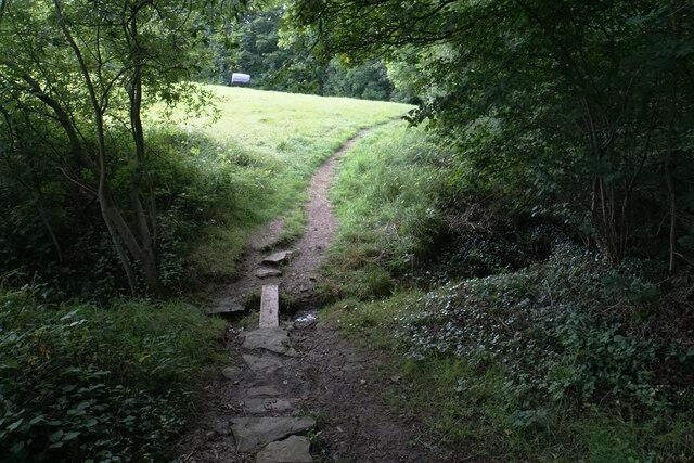
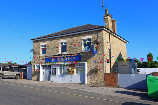
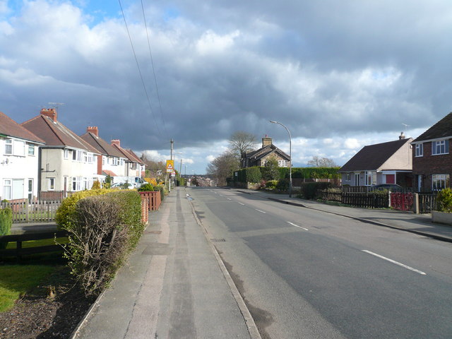
Old Tupton Images
Images are sourced within 2km of 53.182445/-1.414878 or Grid Reference SK3965. Thanks to Geograph Open Source API. All images are credited.


Old Tupton is located at Grid Ref: SK3965 (Lat: 53.182445, Lng: -1.414878)
Administrative County: Derbyshire
District: North East Derbyshire
Police Authority: Derbyshire
What 3 Words
///pint.noun.snipe. Near Wingerworth, Derbyshire
Nearby Locations
Related Wikis
Old Tupton
Old Tupton is a village in Derbyshire, England. It is located on the A61 Derby road, near to Tupton, and to the south of Chesterfield. == External links... ==

Tupton Hall School
Tupton Hall School is a coeducational secondary school and sixth form located in Chesterfield in the English county of Derbyshire. It is one of the largest...
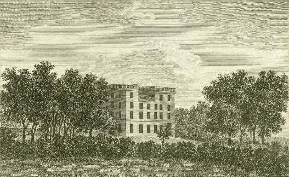
Tupton Hall
Tupton Hall was a former mansion, in Tupton, near Wingerworth in North East Derbyshire, 4.5 miles (7 km) south of Chesterfield. Since its demolition following...
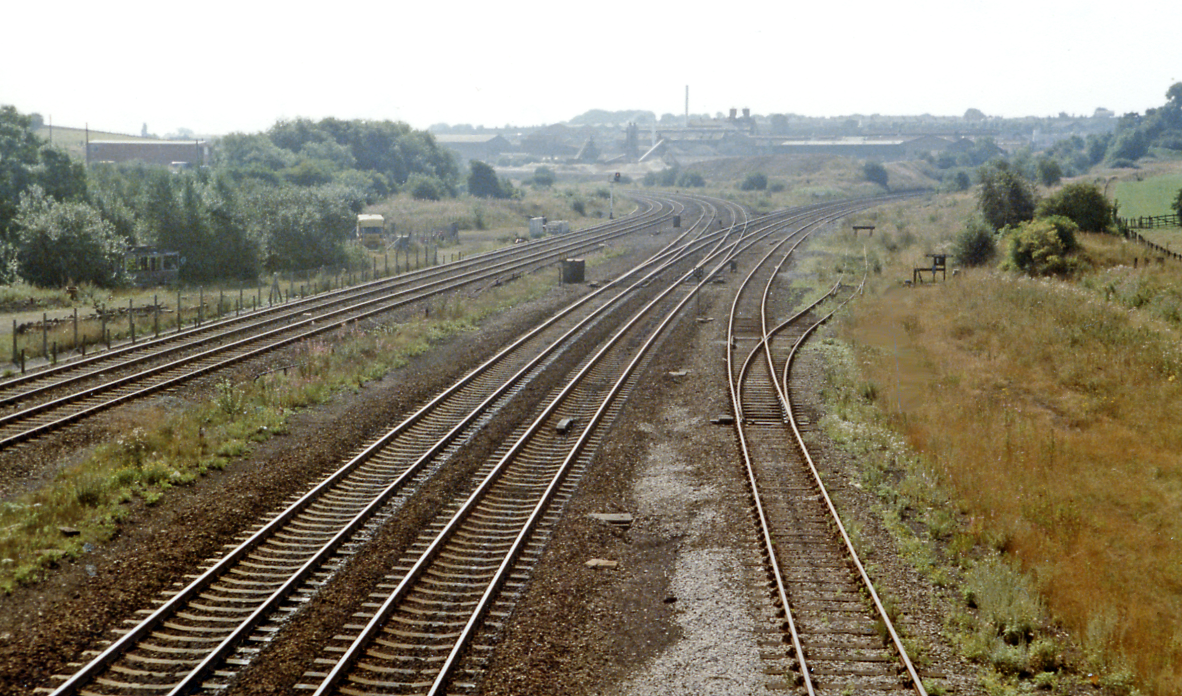
Chesterfield Road railway station
Chesterfield Road railway station was a small station on the Ashover Light Railway and it served the village of Old Tupton, near Clay Cross, North East...
Clay Cross railway station
Clay Cross railway station was a railway station built by the North Midland Railway in 1840. It served the town of Clay Cross in Derbyshire, England. It...

Tupton
Tupton is a village and civil parish in North East Derbyshire, Derbyshire, England, 4.5 miles (7 km) south of Chesterfield. The population of the civil...
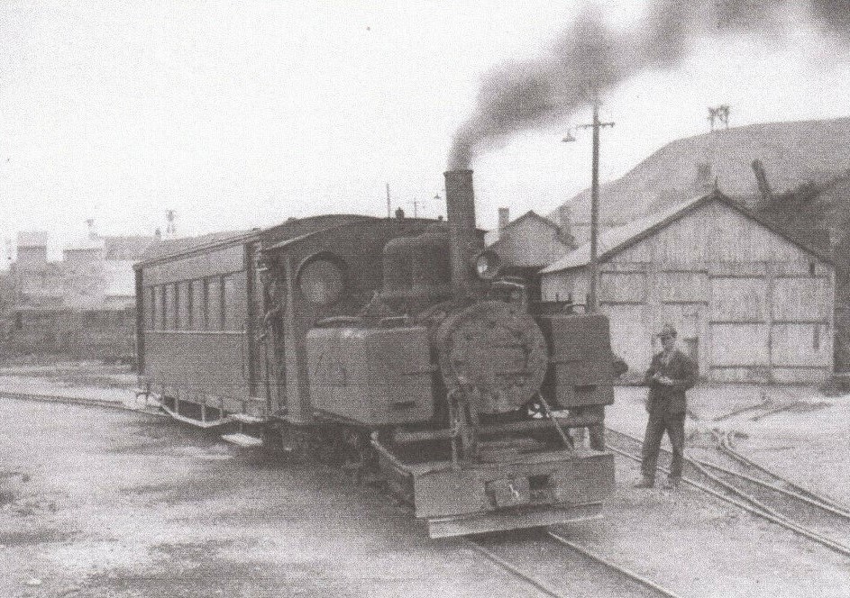
Clay Cross and Egstow railway station
Clay Cross and Egstow railway station the terminus of the Ashover Light Railway and it served the Egstow area of Clay Cross, North East Derbyshire, England...

St Lawrence's Church, North Wingfield
St Lawrence’s Church, North Wingfield is a Grade I listed parish church in the Church of England in North Wingfield, Derbyshire. == History == The porch...
Nearby Amenities
Located within 500m of 53.182445,-1.414878Have you been to Old Tupton?
Leave your review of Old Tupton below (or comments, questions and feedback).