Bierton

Settlement in Buckinghamshire

England

Bierton

Houses on Tring Road, Aylesbury
Houses on Tring Road, Aylesbury Credit: David Howard

Bierton is a small village located in the county of Buckinghamshire, England. Situated approximately three miles southeast of the town of Aylesbury, Bierton is a rural community with a population of around 3,000 residents. The village is part of the Aylesbury Vale district and falls within the Aylesbury parliamentary constituency.

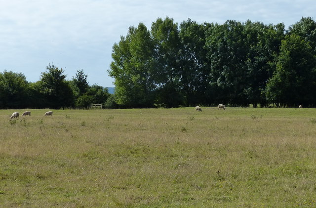
The history of Bierton dates back to the medieval period, with evidence of settlement and farming activities in the area. Today, the village retains its traditional charm, with a mix of old and newer properties. The heart of Bierton is centered around a village green, which serves as a focal point for community events and gatherings.

Bierton offers a range of amenities to its residents, including a primary school, a village hall, a recreation ground, and a local pub. The village is also well-connected, with regular bus services running to neighboring towns and villages. The nearby town of Aylesbury provides further amenities and services, including shops, supermarkets, healthcare facilities, and leisure activities.

The surrounding countryside offers picturesque views and opportunities for outdoor activities, such as walking and cycling. Bierton is also conveniently located near the A41 road, providing easy access to the wider Buckinghamshire area and beyond.

Overall, Bierton offers a peaceful and close-knit community, with a rich history and easy access to amenities and the surrounding countryside.

If you have any feedback on the listing, please let us know in the comments section below.
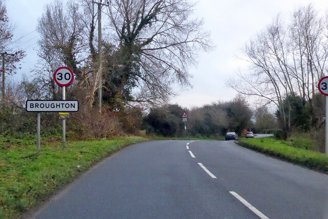
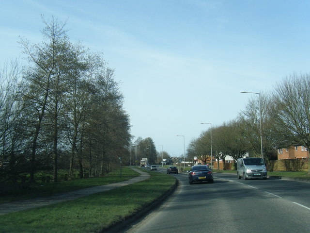
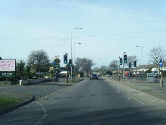
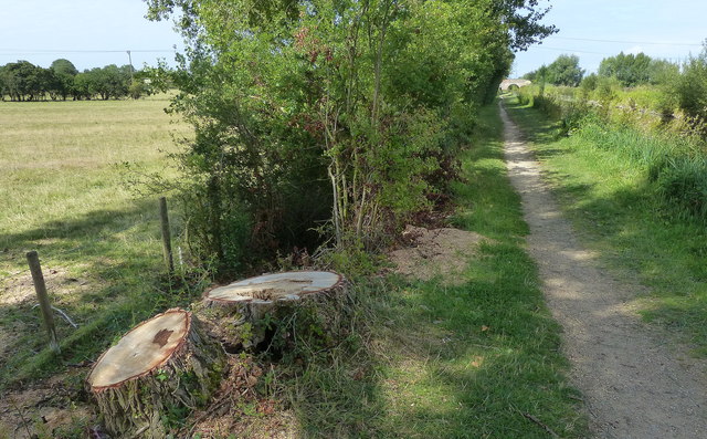
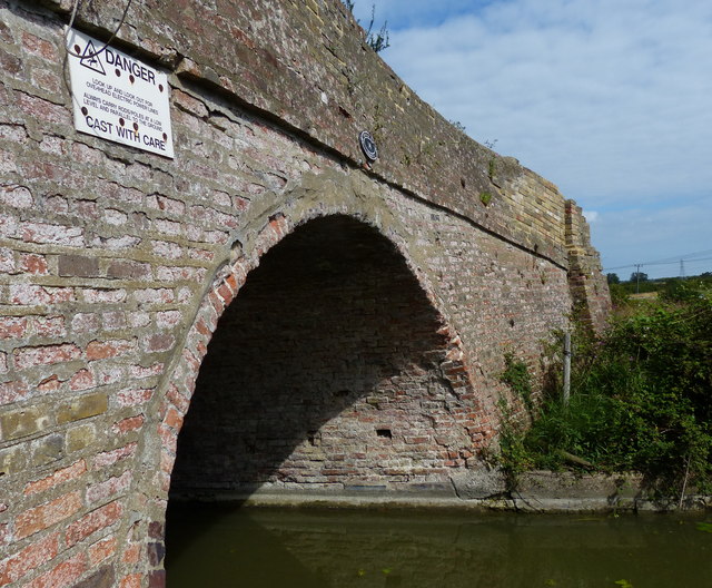
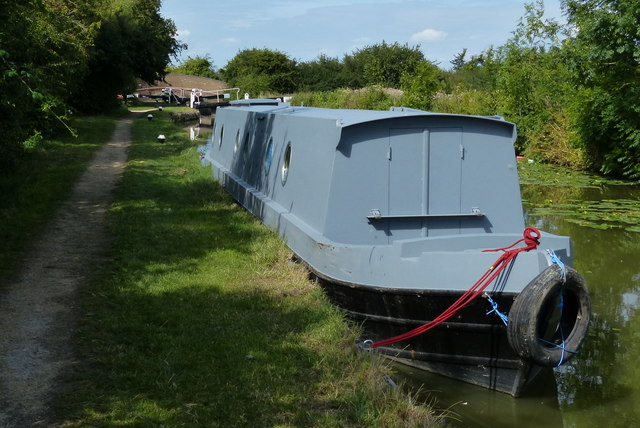
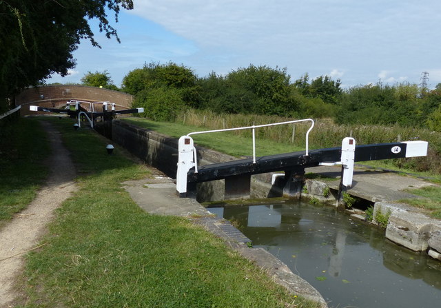
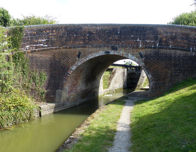
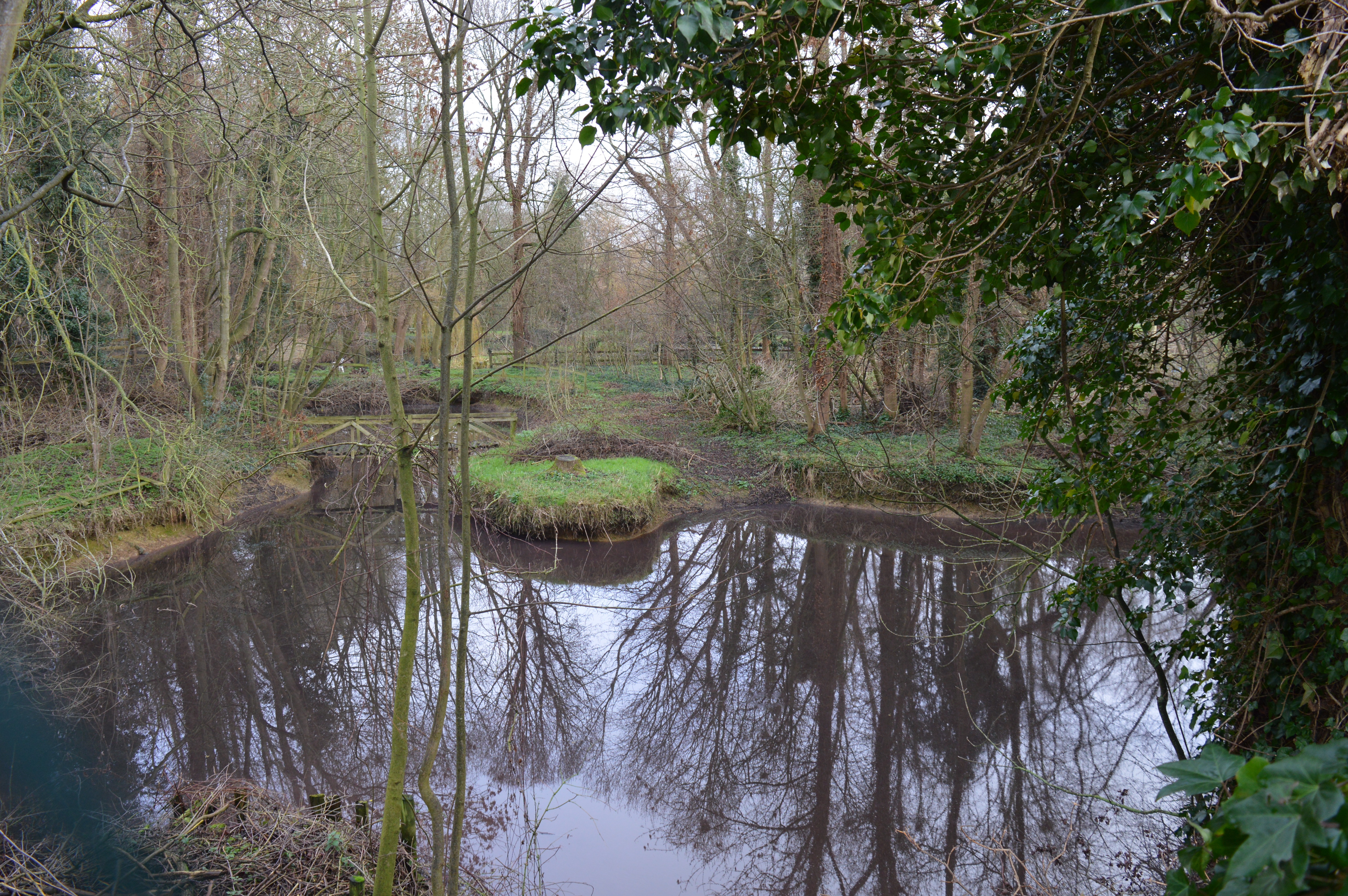
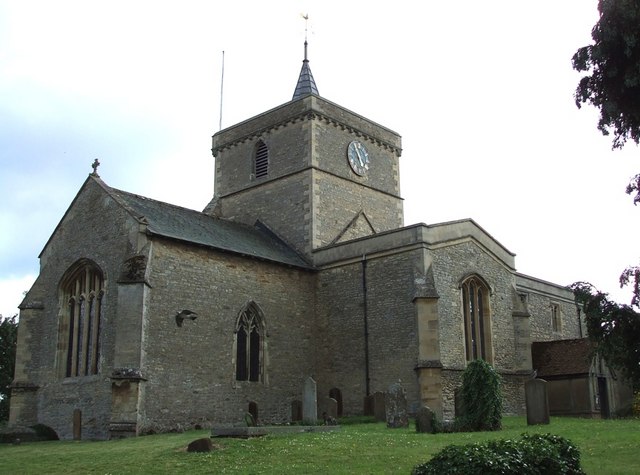
Bierton Images

Images are sourced within 2km of 51.831683/-0.783403 or Grid Reference SP8315. Thanks to Geograph Open Source API. All images are credited.

Houses on Tring Road, Aylesbury
Two new villages in Aylesbury The green field site is still clear and growing thick. The signs have been up since 2016 so probably no longer active, the example house looks like a 17th century working man's cottage.
Two new villages in Aylesbury
The green field site is still clear and growing thick. The signs have been up since 2016 so probably no longer active, the example house looks like a 17th century working man's cottage.
Broughton Lane enters Broughton From the south.
Broughton Lane enters Broughton
From the south.
Roundabout on Mike Griffin Way A new road forming, for the present, the eastern boundary of extensive greenfield housing development.
Roundabout on Mike Griffin Way
A new road forming, for the present, the eastern boundary of extensive greenfield housing development.
Mike Griffin Way A new road forming, for the present, the eastern boundary of extensive greenfield housing development.
Mike Griffin Way
A new road forming, for the present, the eastern boundary of extensive greenfield housing development.
Bellingham Way A principal road in this housing development.
Bellingham Way
A principal road in this housing development.
A41 Tring Road
A41 Tring Road
A4157 Douglas Road
A4157 Douglas Road
A4157 Elmhurst Road at The Dairy Maid public house
Aston Clinton Field Bridge No 13 A farm access bridge carrying a bridleway across the Aylesbury Arm of the Grand Union Canal.
The Aylesbury Arm is six and a quarter miles long and has sixteen locks. It runs west from Marsworth Junction to the centre of Aylesbury.
Aston Clinton Field Bridge No 13
A farm access bridge carrying a bridleway across the Aylesbury Arm of the Grand Union Canal. The Aylesbury Arm is six and a quarter miles long and has sixteen locks. It runs west from Marsworth Junction to the centre of Aylesbury.
Towpath along the Aylesbury Arm of the Grand Union Canal The Aylesbury Arm is six and a quarter miles long and has sixteen locks. It runs west from Marsworth Junction to the centre of Aylesbury.
Towpath along the Aylesbury Arm of the Grand Union Canal
The Aylesbury Arm is six and a quarter miles long and has sixteen locks. It runs west from Marsworth Junction to the centre of Aylesbury.
Sheep and pasture next to the Aylesbury Arm The Aylesbury Arm of the Grand Union Canal is six and a quarter miles long and has sixteen locks. It runs west from Marsworth Junction to the centre of Aylesbury.
Sheep and pasture next to the Aylesbury Arm
The Aylesbury Arm of the Grand Union Canal is six and a quarter miles long and has sixteen locks. It runs west from Marsworth Junction to the centre of Aylesbury.
Aston Clinton Field Bridge No 14 Crossing the Aylesbury Arm of the Grand Union Canal.
The Aylesbury Arm is six and a quarter miles long and has sixteen locks. It runs west from Marsworth Junction to the centre of Aylesbury.
Aston Clinton Field Bridge No 14
Crossing the Aylesbury Arm of the Grand Union Canal. The Aylesbury Arm is six and a quarter miles long and has sixteen locks. It runs west from Marsworth Junction to the centre of Aylesbury.
Aylesbury Arm of the Grand Union Canal Looking east from Aston Clinton Field Bridge No 14.
The Aylesbury Arm is six and a quarter miles long and has sixteen locks. It runs west from Marsworth Junction to the centre of Aylesbury.
Aylesbury Arm of the Grand Union Canal
Looking east from Aston Clinton Field Bridge No 14. The Aylesbury Arm is six and a quarter miles long and has sixteen locks. It runs west from Marsworth Junction to the centre of Aylesbury.
Aston Clinton Field Bridge No 14 Crossing the Aylesbury Arm of the Grand Union Canal.
The Aylesbury Arm is six and a quarter miles long and has sixteen locks. It runs west from Marsworth Junction to the centre of Aylesbury.
Aston Clinton Field Bridge No 14
Crossing the Aylesbury Arm of the Grand Union Canal. The Aylesbury Arm is six and a quarter miles long and has sixteen locks. It runs west from Marsworth Junction to the centre of Aylesbury.
Narrowboat moored along the Aylesbury Arm The narrowboat is moored next to Broughton Lock No 14.
The Aylesbury Arm of the Grand Union Canal is six and a quarter miles long and has sixteen locks. It runs west from Marsworth Junction to the centre of Aylesbury.
Narrowboat moored along the Aylesbury Arm
The narrowboat is moored next to Broughton Lock No 14. The Aylesbury Arm of the Grand Union Canal is six and a quarter miles long and has sixteen locks. It runs west from Marsworth Junction to the centre of Aylesbury.
Broughton Lock No 14 Along the Aylesbury Arm of the Grand Union Canal.
The Aylesbury Arm is six and a quarter miles long and has sixteen locks. It runs west from Marsworth Junction to the centre of Aylesbury.
Broughton Lock No 14
Along the Aylesbury Arm of the Grand Union Canal. The Aylesbury Arm is six and a quarter miles long and has sixteen locks. It runs west from Marsworth Junction to the centre of Aylesbury.
Broughton Lane Bridge No 15 Crossing the Aylesbury Arm of the Grand Union Canal.
The Aylesbury Arm is six and a quarter miles long and has sixteen locks. It runs west from Marsworth Junction to the centre of Aylesbury.
Broughton Lane Bridge No 15
Crossing the Aylesbury Arm of the Grand Union Canal. The Aylesbury Arm is six and a quarter miles long and has sixteen locks. It runs west from Marsworth Junction to the centre of Aylesbury.
Show me another place!

Bierton is located at Grid Ref: SP8315 (Lat: 51.831683, Lng: -0.783403)

Unitary Authority: Buckinghamshire

Police Authority: Thames Valley

What 3 Words

///puppy.closed.driven. Near Aylesbury, Buckinghamshire

Nearby Locations

Bierton

Related Wikis

Bierton Clay Pit

Bierton Clay Pit is a 0.07-hectare (0.17-acre) geological Site of Special Scientific Interest in Bierton in Buckinghamshire. It is listed by the Joint...

Bierton

Bierton is a village and civil parish in Buckinghamshire, England, about half a mile northeast of the town of Aylesbury. It is mainly a farming parish...
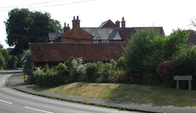
Burcott, Bierton

Burcott is a hamlet in the civil parish of Bierton, in Buckinghamshire, England. Until 2020 it was in Bierton with Broughton parish. Its name is common...

Kingsbrook, Buckinghamshire

Kingsbrook is a village and civil parish to the east of Aylesbury in Buckinghamshire, England. The village comprises mostly new build housing in the "Oakfield...

Broughton Crossing

Broughton Crossing is a hamlet / small settlement located between the Buckinghamshire villages of Bierton and Broughton in England. It is in the civil...

HM Prison Aylesbury

His Majesty's Prison Aylesbury is a category C training prison situated in Aylesbury, Buckinghamshire, England. It is located on the north side of the...

Watermead, Buckinghamshire

Watermead is a suburban development, situated to the north of Aylesbury in Buckinghamshire, England. It is a civil parish and forms part of the Aylesbury...

Tindal Centre

The Tindal Centre (formerly Tindal Hospital) was a centre for the treatment of mental disorders in Aylesbury, Buckinghamshire, England. It was managed...

Nearby Amenities

Located within 500m of 51.831683,-0.783403
Bierton
Is In: Buckinghamshire
Place: village
Wikidata: Q2976308
Lat/Long: 51.8335429/-0.7807409
Barnett House
Building: house
Lat/Long: 51.834628/-0.7863693
Fixme: ?buildings?
Source: npe
Lat/Long: 51.8322784/-0.7844373
Fixme: ?buildings?
Source: npe
Lat/Long: 51.8346121/-0.7810899
Fixme: ?buildings?
Source: npe
Lat/Long: 51.8338696/-0.782549
Fixme: ?buildings?
Source: npe
Lat/Long: 51.8310435/-0.7851604
Fixme: ?buildings?
Source: npe
Lat/Long: 51.8321723/-0.7862398
Fixme: ?buildings?
Source: npe
Lat/Long: 51.8314828/-0.7870981
Pub
The Red Lion
Wikidata: Q26617595
Lat/Long: 51.8302742/-0.7880558
Turning Circle
Turning Circle: hammer
Lat/Long: 51.8327768/-0.7826174
Turning Circle
Turning Circle: hammer
Lat/Long: 51.829686/-0.7848702
Turning Circle
Lat/Long: 51.8291135/-0.7841399
Turning Circle
Turning Circle: y-head
Lat/Long: 51.8295087/-0.7872522
Turning Circle
Lat/Long: 51.8305233/-0.7897338
Pub
The Bell
Lat/Long: 51.8340548/-0.779766
Public Transport: stop_position
Source: survey
Lat/Long: 51.8301712/-0.7879807
Bus Stop
Bus: yes
Public Transport: platform
Shelter: no
Source: survey
Lat/Long: 51.8302191/-0.7880314
Post Box
Brand: Royal Mail
Brand Wikidata: Q638098
Brand Wikipedia: en:Royal Mail
Collection Times: Mo-Fr 09:00; Sa 07:00
Operator: Royal Mail
Operator Wikidata: Q638098
Post Box Type: wall
Ref: HP22 106
Royal Cypher: EIIR
Royal Cypher Wikidata: Q33102113
Source: survey
Lat/Long: 51.83064/-0.7871767
Place Of Worship
Fixme: Is this still a place of worship? looks like offices
Religion: christian
Source: survey
Lat/Long: 51.8334872/-0.7817704
Post Box
Brand: Royal Mail
Brand Wikidata: Q638098
Brand Wikipedia: en:Royal Mail
Collection Times: Mo-Fr 17:00; Sa 09:00
Operator: Royal Mail
Operator Wikidata: Q638098
Post Box Type: wall
Ref: HP22 105
Royal Cypher: GR
Royal Cypher Wikidata: Q33102273
Source: survey
Lat/Long: 51.833627/-0.782086
ST Oswyth' well
Description: Ancient well Dedicated to ST Oswyth an Essex princess
Man Made: water_well
Lat/Long: 51.8293396/-0.7883081
Barrier: kissing_gate
Foot: designated
Lat/Long: 51.8304755/-0.7850146
Barrier: stile
Lat/Long: 51.8278643/-0.7802501
Barrier: stile
Lat/Long: 51.8312663/-0.7795981
Barrier: stile
Lat/Long: 51.8311039/-0.779776
Waste Basket
Lat/Long: 51.8289001/-0.785654
Direction: 150
Generator Method: photovoltaic
Generator Output Electricity: yes
Generator Solar Modules: 11
Generator Source: solar
Generator Type: solar_photovoltaic_panel
Location: roof
Power: generator
Lat/Long: 51.8296046/-0.777308
Speed Camera
Colour: yellow
Direction: 70
Man Made: mast
Mapillary: 1150577842052865
Maxspeed: 30 mph
Lat/Long: 51.8295087/-0.7892655
Direction: SE
Generator Method: photovoltaic
Generator Output Electricity: yes
Generator Solar Modules: 16
Generator Source: solar
Generator Type: solar_photovoltaic_panel
Location: roof
Power: generator
Lat/Long: 51.8302275/-0.7886813
Direction: 145
Generator Method: photovoltaic
Generator Output Electricity: yes
Generator Solar Modules: 8
Generator Source: solar
Generator Type: solar_photovoltaic_panel
Location: roof
Power: generator
Lat/Long: 51.8298422/-0.7888399
Direction: SW
Generator Method: photovoltaic
Generator Output Electricity: yes
Generator Solar Modules: 16
Generator Source: solar
Generator Type: solar_photovoltaic_panel
Location: roof
Power: generator
Lat/Long: 51.8305816/-0.7887558
Barrier: stile
Lat/Long: 51.8317255/-0.7820323
Barrier: stile
Foot: designated
Material: wood
Stile: stepover
Lat/Long: 51.8281665/-0.784543
Barrier: stile
Lat/Long: 51.8295512/-0.7807879
Barrier: stile
Lat/Long: 51.8294707/-0.780768
Barrier: stile
Material: metal
Stile: stepover
Lat/Long: 51.830694/-0.7835395
Barrier: stile
Lat/Long: 51.830708/-0.7834372
Barrier: stile
Material: wood
Lat/Long: 51.8308829/-0.7820905
Turning Circle
Turning Circle: knuckle
Lat/Long: 51.8344156/-0.7812735
Direction: 155
Generator Method: photovoltaic
Generator Output Electricity: yes
Generator Solar Modules: 10
Generator Source: solar
Generator Type: solar_photovoltaic_panel
Location: roof
Power: generator
Lat/Long: 51.8341198/-0.7784982
Generator Method: photovoltaic
Generator Output Electricity: yes
Generator Solar Modules: 3
Generator Source: solar
Generator Type: solar_photovoltaic_panel
Location: roof
Power: generator
Tilted: no
Lat/Long: 51.8340907/-0.7784875
Direction: 245
Generator Method: photovoltaic
Generator Output Electricity: yes
Generator Solar Modules: 6
Generator Source: solar
Generator Type: solar_photovoltaic_panel
Location: roof
Power: generator
Lat/Long: 51.8340842/-0.7784419
Direction: 65
Generator Method: photovoltaic
Generator Output Electricity: yes
Generator Solar Modules: 6
Generator Source: solar
Generator Type: solar_photovoltaic_panel
Location: roof
Power: generator
Lat/Long: 51.8340909/-0.7784204
Direction: 155
Generator Method: photovoltaic
Generator Output Electricity: yes
Generator Solar Modules: 14
Generator Source: solar
Generator Type: solar_photovoltaic_panel
Location: roof
Power: generator
Lat/Long: 51.8290649/-0.7782025
Turning Circle
Turning Circle: knuckle
Lat/Long: 51.8294013/-0.7775915
Direction: 150
Generator Method: photovoltaic
Generator Output Electricity: yes
Generator Solar Modules: 13
Generator Source: solar
Generator Type: solar_photovoltaic_panel
Location: roof
Power: generator
Lat/Long: 51.8330445/-0.7807389
Direction: 150
Generator Method: photovoltaic
Generator Output Electricity: yes
Generator Solar Modules: 16
Generator Source: solar
Generator Type: solar_photovoltaic_panel
Location: roof
Power: generator
Lat/Long: 51.8331455/-0.7808246
Direction: 145
Generator Method: photovoltaic
Generator Output Electricity: yes
Generator Solar Modules: 16
Generator Source: solar
Generator Type: solar_photovoltaic_panel
Location: roof
Power: generator
Lat/Long: 51.8326084/-0.7833935
Crossing
Lat/Long: 51.832984/-0.7846734
Turning Circle
Turning Circle: knuckle
Lat/Long: 51.833097/-0.7855688
Turning Circle
Turning Circle: knuckle
Lat/Long: 51.8325105/-0.7855396
Crossing
Crossing: unmarked
Crossing Island: yes
Crossing Markings: no
Tactile Paving: yes
Lat/Long: 51.8341867/-0.7797737
Crossing
Lat/Long: 51.8309674/-0.7867154
Crossing
Crossing: unmarked
Crossing Island: no
Crossing Markings: no
Tactile Paving: yes
Lat/Long: 51.8291959/-0.7858669
Crossing
Crossing: unmarked
Crossing Island: no
Crossing Markings: no
Tactile Paving: yes
Lat/Long: 51.8290449/-0.7856977
Direction: 240
Generator Method: photovoltaic
Generator Output Electricity: yes
Generator Source: solar
Generator Type: solar_photovoltaic_panel
Location: roof
Power: generator
Lat/Long: 51.8316298/-0.7871297
The data included in this document is from www.openstreetmap.org. The data is made available under ODbL.

Have you been to Bierton?

Leave your review of Bierton below (or comments, questions and feedback).