Old Tinnis

Settlement in Selkirkshire

Scotland

Old Tinnis

Track at Old Tinnis The track follows Lewenshope Burn.
Track at Old Tinnis Credit: Mary and Angus Hogg

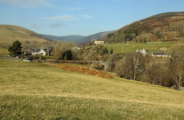
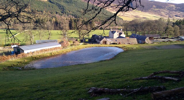
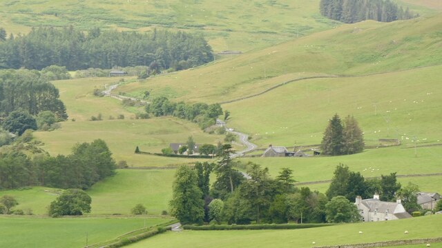
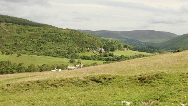
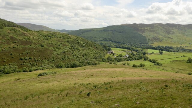
Old Tinnis is a small village located in Selkirkshire, Scotland. Situated near the River Tweed, the village is known for its picturesque countryside views and quaint charm. The village is home to a population of around 200 residents, many of whom are involved in agriculture and farming.

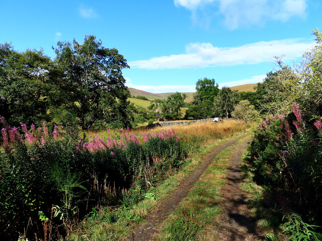
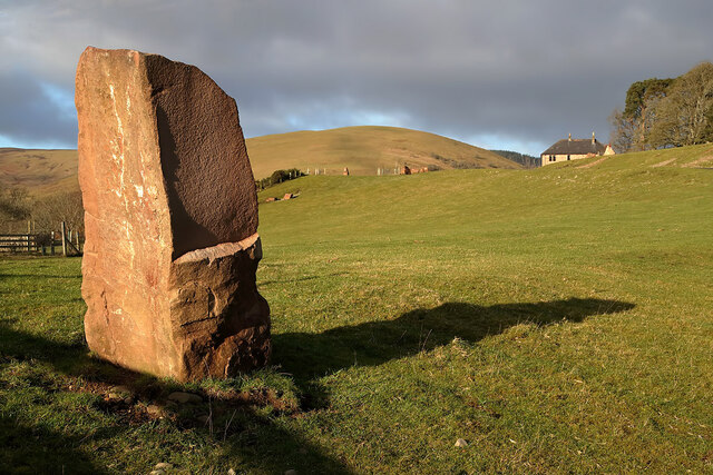
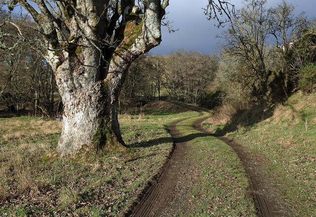
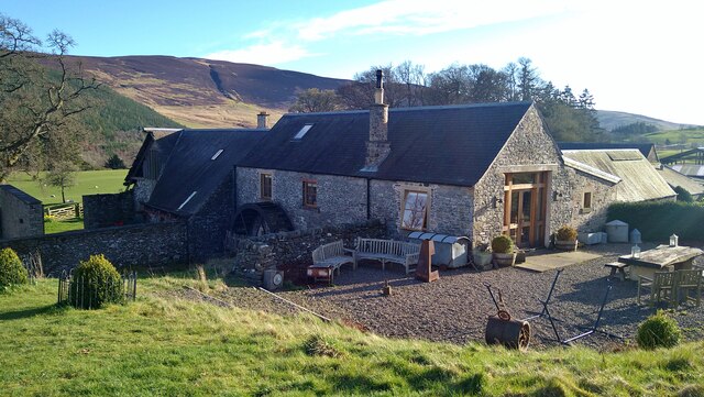
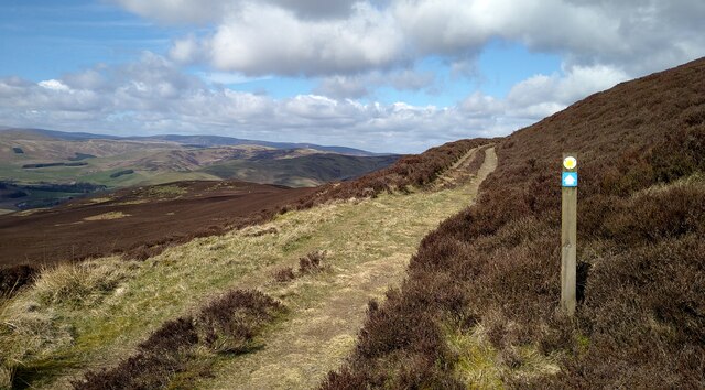
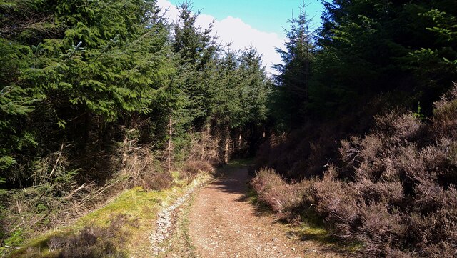
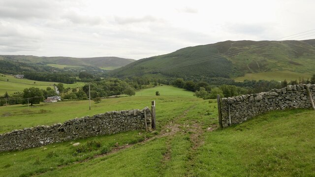
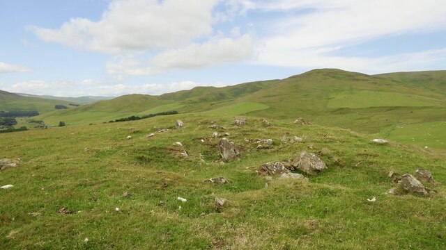
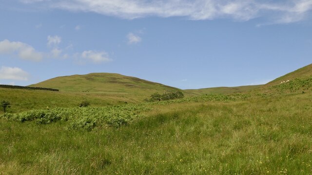
Old Tinnis features a number of historic buildings, including traditional stone cottages and a historic parish church. The village is surrounded by rolling hills and lush green fields, making it a popular destination for outdoor enthusiasts and nature lovers.

Despite its small size, Old Tinnis has a strong sense of community, with residents often coming together for village events and activities. The village also has a small primary school, providing education for local children.

Overall, Old Tinnis offers a peaceful and idyllic setting for those looking to escape the hustle and bustle of city life and enjoy the tranquility of rural Scotland.

If you have any feedback on the listing, please let us know in the comments section below.

Old Tinnis Images

Images are sourced within 2km of 55.550739/-2.9842792 or Grid Reference NT3829. Thanks to Geograph Open Source API. All images are credited.

Track at Old Tinnis The track follows Lewenshope Burn.
Track at Old Tinnis
The track follows Lewenshope Burn.
A grazing field at Old Tinnis Some large stones have been positioned around the field.
A grazing field at Old Tinnis
Some large stones have been positioned around the field.
A gate sign at Old Tinnis The gate is on a track by the Lewenshope Burn.
A gate sign at Old Tinnis
The gate is on a track by the Lewenshope Burn.
An access track at Old Tinnis
A grazing field at Old Tinnis Old Hill is on the left and Lewenshope Rig is on the right.
A grazing field at Old Tinnis
Old Hill is on the left and Lewenshope Rig is on the right.
The Mill at Lewenshope The Mill is a beautifully converted former water mill and now available for holiday rent (I'm a happy customer - not the owner!).
The Mill at Lewenshope
The Mill is a beautifully converted former water mill and now available for holiday rent (I'm a happy customer - not the owner!).
Buildings at Lewenshope This includes the former mill, now converted as a holiday let.
Buildings at Lewenshope
This includes the former mill, now converted as a holiday let.
On the Duchess's Drive, Bowhill This pleasant 7.5 mile walk follows the route of a Victorian carriage drive. Underfoot conditions are excellent, on good tracks and paths.  There is good waymarking too.
On the Duchess's Drive, Bowhill
This pleasant 7.5 mile walk follows the route of a Victorian carriage drive. Underfoot conditions are excellent, on good tracks and paths. There is good waymarking too.
On the Duchess's Drive, in Black Andrew Wood This pleasant 7.5 mile walk follows the route of a Victorian carriage drive. Underfoot conditions are excellent, on good tracks and paths.
On the Duchess's Drive, in Black Andrew Wood
This pleasant 7.5 mile walk follows the route of a Victorian carriage drive. Underfoot conditions are excellent, on good tracks and paths.
A low level RAF Hercules in the Yarrow Valley There was a low flying slot between 19.00 and 21.00 and I was lucky enough to catch at 20.45 in lovely evening light Hercules ZH867 from Tinnis Top. The building at the lower right is at Wester Kershope Farm. This was my last low level Hercules as the RAF will retire this aircraft type at the end of June 2023. A farewell flypast tour of the UK with a three-ship of Hercules aircraft was held on 14/06/2023.
A low level RAF Hercules in the Yarrow Valley
There was a low flying slot between 19.00 and 21.00 and I was lucky enough to catch at 20.45 in lovely evening light Hercules ZH867 from Tinnis Top. The building at the lower right is at Wester Kershope Farm. This was my last low level Hercules as the RAF will retire this aircraft type at the end of June 2023. A farewell flypast tour of the UK with a three-ship of Hercules aircraft was held on 14/06/2023.
A low level RAF Hercules in the Yarrow Valley There was a low flying slot between 19.00 and 21.00 and I was lucky enough to catch at 20.45 in lovely evening light Hercules ZH867 from Tinnis Top. This was my last low level Hercules as the RAF will retire this aircraft type at the end of June 2023. A farewell flypast tour of the UK with a three-ship of Hercules aircraft was held on 14/06/2023.
A low level RAF Hercules in the Yarrow Valley
There was a low flying slot between 19.00 and 21.00 and I was lucky enough to catch at 20.45 in lovely evening light Hercules ZH867 from Tinnis Top. This was my last low level Hercules as the RAF will retire this aircraft type at the end of June 2023. A farewell flypast tour of the UK with a three-ship of Hercules aircraft was held on 14/06/2023.
Gate, Tinnis A waymarked route from Traquair to the Yarrow Water.
Gate, Tinnis
A waymarked route from Traquair to the Yarrow Water.
Summit, Tinnis Top Rather stony and it has been quarried.
Summit, Tinnis Top
Rather stony and it has been quarried.
Tinnis Farm View up the Yarrow Water from. Tinnis Top.
Tinnis Farm
View up the Yarrow Water from. Tinnis Top.
Pasture, Tinnis Top
Pasture, Tinnis Top
Burn and Cat Craig Yarrow hill grazing, sheep and cattle.
Burn and Cat Craig
Yarrow hill grazing, sheep and cattle.
Lewens Hope Downstream view from Old Hill. The hillside is very much marked by cattle hoofprints.
Lewens Hope
Downstream view from Old Hill. The hillside is very much marked by cattle hoofprints.
Show me another place!

Old Tinnis is located at Grid Ref: NT3829 (Lat: 55.550739, Lng: -2.9842792)

Unitary Authority: The Scottish Borders

Police Authority: The Lothians and Scottish Borders

What 3 Words

///novels.calculate.earmarked. Near Innerleithen, Scottish Borders

Nearby Locations

Old Tinnis Tinnis, Old

Related Wikis

Yarrow, Scottish Borders

Yarrow is a place and parish in the Scottish Borders area of Scotland and in the former county of Selkirkshire.The name "Yarrow" may derive from the Celtic...

Yarrowford

Yarrowford is a village on the A708, in the Scottish Borders area of Scotland, 4 miles north-west of Selkirk, in the Ettrick Forest. The Yarrow Water flows...

Broadmeadows, Scottish Borders

Broadmeadows is a village in the Scottish Borders area of Scotland, on the A708 near Selkirk. Places nearby include Boleside, Bowhill, Caddonfoot, Ettrickbridge...

Kirkhope Tower

Kirkhope Tower is a Scottish Pele, located in the Ettrick Valley, in the historic county of Selkirkshire, now a division of the Scottish Borders. The tower...

Related Videos

Whilst exploring 🏴󠁧󠁢󠁳󠁣󠁴󠁿Nuclear bunker, castles I found a stash 😁 #drone #scotland #castle #geocache

That walking put my back out for 3 days, couldn't move but luckily today, out in the kayak.

Nearby Amenities

Located within 500m of 55.550739,-2.9842792
Tinnis Top
Natural: peak
Lat/Long: 55.5530835/-2.9795898
Power: pole
Lat/Long: 55.5495394/-2.9915356
Power: pole
Lat/Long: 55.5499966/-2.9901924
Power: pole
Lat/Long: 55.5503436/-2.9891707
Power: pole
Lat/Long: 55.5506762/-2.9882061
Power: pole
Lat/Long: 55.5509993/-2.9872521
Power: pole
Lat/Long: 55.5513762/-2.9861775
Power: pole
Lat/Long: 55.5516718/-2.9847518
Power: pole
Lat/Long: 55.5519518/-2.9834276
Power: pole
Lat/Long: 55.5522401/-2.9821055
Power: pole
Lat/Long: 55.5525429/-2.9806523
Power: pole
Lat/Long: 55.5527104/-2.9794635
Power: pole
Lat/Long: 55.5528707/-2.9782429
Power: pole
Lat/Long: 55.5511381/-2.9856318
Power: pole
Lat/Long: 55.550888/-2.9850437
Power: pole
Lat/Long: 55.5504728/-2.9840664
The data included in this document is from www.openstreetmap.org. The data is made available under ODbL.

Have you been to Old Tinnis?

Leave your review of Old Tinnis below (or comments, questions and feedback).