Old Snydale
Settlement in Yorkshire
England
Old Snydale

Old Snydale is a small village located in the district of Wakefield, in the county of Yorkshire, England. It is situated approximately 10 miles south of the city of Wakefield and is nestled in the picturesque countryside of Yorkshire.
The village of Old Snydale is known for its quaint charm and peaceful atmosphere. It is home to a mix of traditional stone cottages, modern houses, and historic buildings, giving it a unique character. The village is surrounded by rolling green fields and woodlands, making it an ideal location for those who enjoy outdoor activities such as hiking, cycling, and horse riding.
Old Snydale has a close-knit community, with a village hall, local pub, and church serving as central meeting points for residents. The village also has a primary school, providing education for the local children.
Overall, Old Snydale is a quiet and picturesque village that offers a peaceful and idyllic setting for those looking to escape the hustle and bustle of city life. Its beautiful surroundings and strong sense of community make it a desirable place to live for many.
If you have any feedback on the listing, please let us know in the comments section below.
Old Snydale Images
Images are sourced within 2km of 53.688429/-1.393833 or Grid Reference SE4021. Thanks to Geograph Open Source API. All images are credited.


Old Snydale is located at Grid Ref: SE4021 (Lat: 53.688429, Lng: -1.393833)
Division: West Riding
Unitary Authority: Wakefield
Police Authority: West Yorkshire
What 3 Words
///willpower.domestic.cone. Near Normanton, West Yorkshire
Nearby Locations
Related Wikis

Ackton
Ackton is a hamlet in the parish of Featherstone, in the Wakefield district of West Yorkshire, England. It is near Pontefract. In 1931 the parish had...
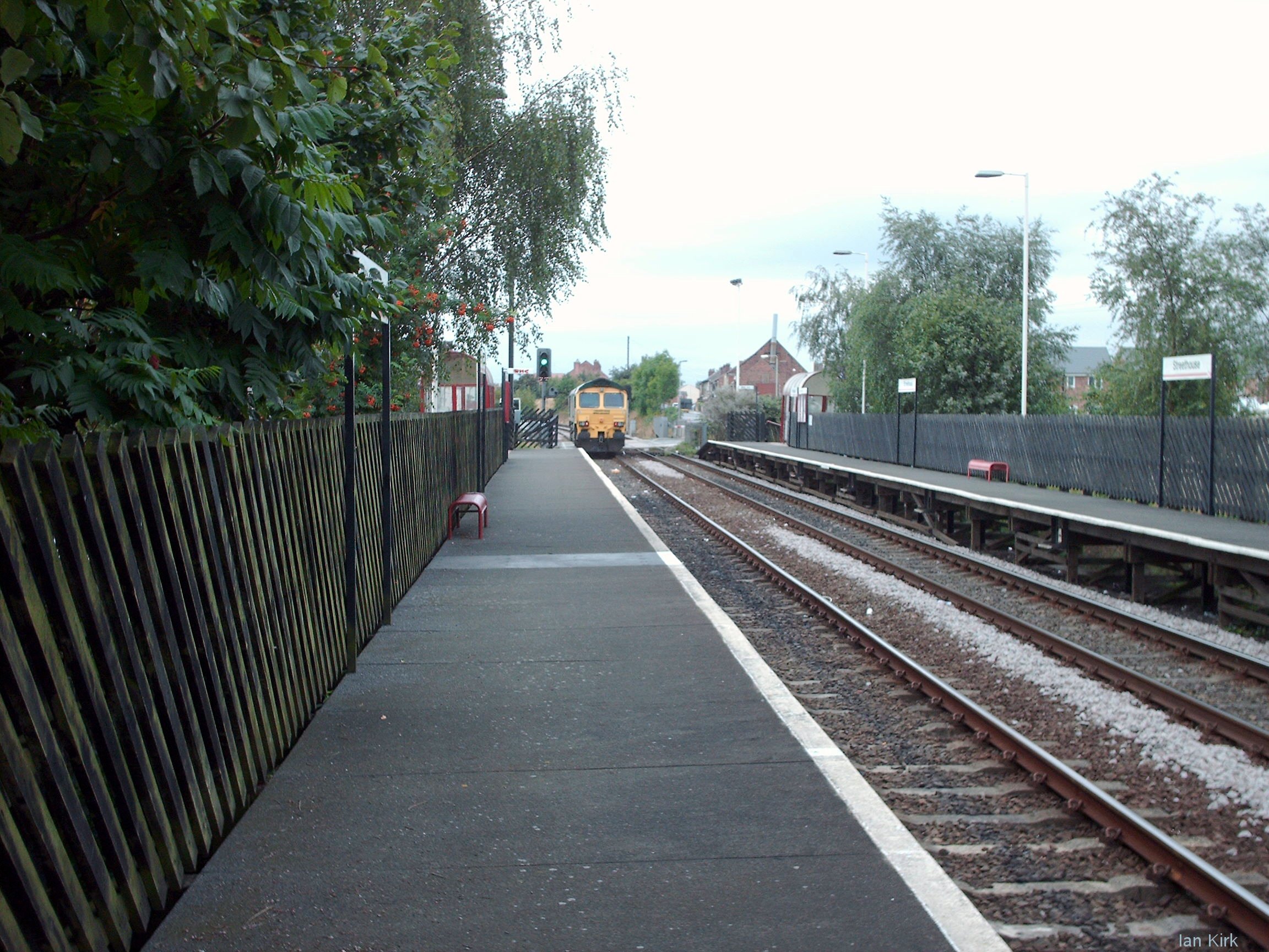
Streethouse railway station
Streethouse railway station serves the village of Streethouse in West Yorkshire, England. It lies on the Pontefract Line, operated by Northern and is 4...

Outwood Academy Freeston
Outwood Academy Freeston (known locally as Freeston), formerly The Freeston Academy, is a state run, coeducational high school situated in Normanton, West...
Streethouse
Streethouse is a semi rural village in West Yorkshire, England that is situated to the east of Wakefield, the west of Featherstone and the south-west of...
Nearby Amenities
Located within 500m of 53.688429,-1.393833Have you been to Old Snydale?
Leave your review of Old Snydale below (or comments, questions and feedback).