Perton, Old

Settlement in Staffordshire South Staffordshire

England

Perton, Old

Parkway, Perton Parkway is the main distributor road around Perton estate, and is almost entirely circumnavigated by bus route 10, the main service into Wolverhampton. The crash barriers protect a <a href="https://www.geograph.org.uk/photo/3896094">SJ8600 : Pedestrian subway under Parkway, Perton</a>.
Parkway, Perton Credit: Richard Vince

Perton is a small village located in Old Staffordshire, England. With a population of around 6,000 people, it is a tight-knit community known for its picturesque surroundings and rich history. Situated just six miles west of Wolverhampton, Perton offers a peaceful countryside ambiance while still being conveniently close to urban amenities.

One of the village's notable features is its ancient origins, with evidence of settlements dating back to the Iron Age. Throughout the centuries, Perton has witnessed various historical events and transformations, including the arrival of the Romans and the development of agriculture in the medieval era.

Today, Perton is a thriving village with a range of amenities and services. It boasts several local shops, a supermarket, a library, and a community center that hosts various activities and events. The village is also home to several pubs and restaurants, providing residents and visitors with options for dining and entertainment.

Nature lovers are drawn to Perton for its stunning landscapes and outdoor spaces. The village is surrounded by beautiful countryside, offering opportunities for walking, cycling, and exploring nature trails. Additionally, there are several parks and green spaces within the village itself, providing residents with places to relax and enjoy outdoor activities.

Perton is well-connected to nearby towns and cities through public transportation, making it an ideal location for commuters. The village has a regular bus service, and the nearby Wolverhampton railway station provides access to major cities such as Birmingham and London.

Overall, Perton combines its rich history, natural beauty, and convenient location to create a charming and vibrant community that offers a high quality of life for its residents.

If you have any feedback on the listing, please let us know in the comments section below.
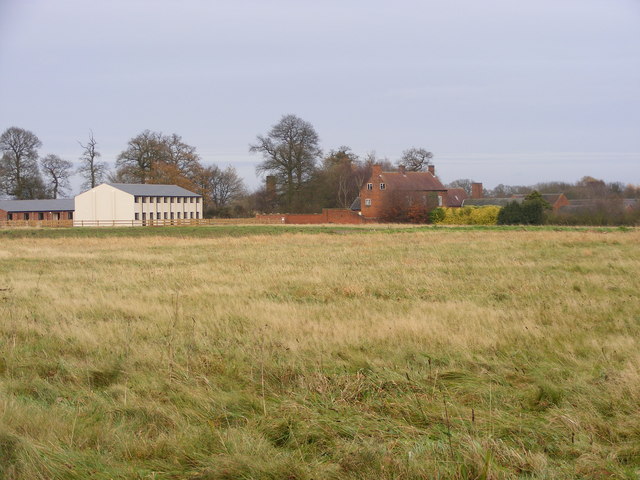
Perton, Old Images

Images are sourced within 2km of 52.586798/-2.216204 or Grid Reference SO8598. Thanks to Geograph Open Source API. All images are credited.

Parkway, Perton Parkway is the main distributor road around Perton estate, and is almost entirely circumnavigated by bus route 10, the main service into Wolverhampton. The crash barriers protect a <a href="https://www.geograph.org.uk/photo/3896094">SJ8600 : Pedestrian subway under Parkway, Perton</a>.
Parkway, Perton
Parkway is the main distributor road around Perton estate, and is almost entirely circumnavigated by bus route 10, the main service into Wolverhampton. The crash barriers protect a SJ8600 : Pedestrian subway under Parkway, Perton.
Pedestrian subway under Parkway, Perton This subway, in the northern part of the estate, links Browning Grove with Harald Close.
Pedestrian subway under Parkway, Perton
This subway, in the northern part of the estate, links Browning Grove with Harald Close.
Pear and Partridge Public House Perton
Disused Buildings, near Cranmoor Lodge Farm, Perton The Staffordshire Way passes these military style buildings, all disused but with roofs intact, in the corner of a large grass covered field. Apparently they are the remains of  2nd World War RAF Perton accommodation, later used to house Dutch Army barracks.

There are threats to close the footpath to enable development. The exact original use of all the buildings here can be dug out from these planning applications: <span class="nowrap"><a title="http://www.sstaffs.gov.uk/pdf/Regulatory%20Committee%2022nd%20May%202007.pdf" rel="nofollow ugc noopener" href="http://www.sstaffs.gov.uk/pdf/Regulatory%20Committee%2022nd%20May%202007.pdf">Link</a><img style="margin-left:2px;" alt="External link" title="External link - shift click to open in new window" src="https://s1.geograph.org.uk/img/external.png" width="10" height="10"/></span>

There is fascinating detail on this Dutch website (make sure you get the translated page) <span class="nowrap"><a title="http://translate.google.co.uk/translate?hl=en&sl=nl&u=http://www.prinsesirenebrigade.nl/wrottesleypark_nabij_wolverhampt.htm&ei=rQ-5SdSoHqKHjAfAmOCwCA&sa=X&oi=translate&resnum=1&ct=result&prev=/search%3Fq%3DCranmore%2BLodge%2Bfarm%2Bperton%26hl%3Den%26client%3Dfirefox-a%26rls%3Dorg.mozilla:en-GB:official%26hs%3DI25%26sa%3DN%26start%3D10" rel="nofollow ugc noopener" href="http://translate.google.co.uk/translate?hl=en&sl=nl&u=http://www.prinsesirenebrigade.nl/wrottesleypark_nabij_wolverhampt.htm&ei=rQ-5SdSoHqKHjAfAmOCwCA&sa=X&oi=translate&resnum=1&ct=result&prev=/search%3Fq%3DCranmore%2BLodge%2Bfarm%2Bperton%26hl%3Den%26client%3Dfirefox-a%26rls%3Dorg.mozilla:en-GB:official%26hs%3DI25%26sa%3DN%26start%3D10">Link</a><img style="margin-left:2px;" alt="External link" title="External link - shift click to open in new window" src="https://s1.geograph.org.uk/img/external.png" width="10" height="10"/></span>
Disused Buildings, near Cranmoor Lodge Farm, Perton
The Staffordshire Way passes these military style buildings, all disused but with roofs intact, in the corner of a large grass covered field. Apparently they are the remains of 2nd World War RAF Perton accommodation, later used to house Dutch Army barracks. There are threats to close the footpath to enable development. The exact original use of all the buildings here can be dug out from these planning applications: LinkExternal link There is fascinating detail on this Dutch website (make sure you get the translated page) LinkExternal link
Disused Buildings near Cranmoor Lodge Farm, Perton The Staffordshire Way passes these military style buildings, all disused but with roofs intact, in the corner of a large grass covered field. Apparently they are the remains of  2nd World War RAF Perton accommodation, later used as a Dutch Army barracks.

There are threats to close the footpath to enable development. The exact original use of all the buildings here can be dug out from these planning applications: <span class="nowrap"><a title="http://www.sstaffs.gov.uk/pdf/Regulatory%20Committee%2022nd%20May%202007.pdf" rel="nofollow ugc noopener" href="http://www.sstaffs.gov.uk/pdf/Regulatory%20Committee%2022nd%20May%202007.pdf">Link</a><img style="margin-left:2px;" alt="External link" title="External link - shift click to open in new window" src="https://s1.geograph.org.uk/img/external.png" width="10" height="10"/></span>

There is fascinating detail on this Dutch website (make sure you get the translated page) <span class="nowrap"><a title="http://translate.google.co.uk/translate?hl=en&sl=nl&u=http://www.prinsesirenebrigade.nl/wrottesleypark_nabij_wolverhampt.htm&ei=rQ-5SdSoHqKHjAfAmOCwCA&sa=X&oi=translate&resnum=1&ct=result&prev=/search%3Fq%3DCranmore%2BLodge%2Bfarm%2Bperton%26hl%3Den%26client%3Dfirefox-a%26rls%3Dorg.mozilla:en-GB:official%26hs%3DI25%26sa%3DN%26start%3D10" rel="nofollow ugc noopener" href="http://translate.google.co.uk/translate?hl=en&sl=nl&u=http://www.prinsesirenebrigade.nl/wrottesleypark_nabij_wolverhampt.htm&ei=rQ-5SdSoHqKHjAfAmOCwCA&sa=X&oi=translate&resnum=1&ct=result&prev=/search%3Fq%3DCranmore%2BLodge%2Bfarm%2Bperton%26hl%3Den%26client%3Dfirefox-a%26rls%3Dorg.mozilla:en-GB:official%26hs%3DI25%26sa%3DN%26start%3D10">Link</a><img style="margin-left:2px;" alt="External link" title="External link - shift click to open in new window" src="https://s1.geograph.org.uk/img/external.png" width="10" height="10"/></span>
Disused Buildings near Cranmoor Lodge Farm, Perton
The Staffordshire Way passes these military style buildings, all disused but with roofs intact, in the corner of a large grass covered field. Apparently they are the remains of 2nd World War RAF Perton accommodation, later used as a Dutch Army barracks. There are threats to close the footpath to enable development. The exact original use of all the buildings here can be dug out from these planning applications: LinkExternal link There is fascinating detail on this Dutch website (make sure you get the translated page) LinkExternal link
Lower Lake Perton The Lake sits alongside The Parkway Road.
Lower Lake Perton
The Lake sits alongside The Parkway Road.
Lower Lake
Lower Lake
Cranmoor Lodge Farm The Staffordshire and Monarch's Ways pass by the Farm.
Cranmoor Lodge Farm
The Staffordshire and Monarch's Ways pass by the Farm.
Prefabricated barn on Cranmoor Lodge Farm road The barn is a survivor from the days of RAF Perton, a WWII airbase and relief landing ground. It was used to train navigators and bomb-aimers, who would be suspended in a cradle from the roof beams, and expected to familiarise themselves with a scrolling map of the part of Germany that their next mission would be taking them to. It stands by the side of a track between the former airfield (now entirely obliterated by Perton housing estate) and the various dispersal sites, quarters, training areas etc around the lands of Cranmoor Lodge Farm.
Prefabricated barn on Cranmoor Lodge Farm road
The barn is a survivor from the days of RAF Perton, a WWII airbase and relief landing ground. It was used to train navigators and bomb-aimers, who would be suspended in a cradle from the roof beams, and expected to familiarise themselves with a scrolling map of the part of Germany that their next mission would be taking them to. It stands by the side of a track between the former airfield (now entirely obliterated by Perton housing estate) and the various dispersal sites, quarters, training areas etc around the lands of Cranmoor Lodge Farm.
Farm road across Cranmoor (1) Cranmoor = Crane Moor = a place where common cranes used to live. They're no longer common, in fact they're as good as extinct in the UK, although the RSPB is beginning a project to reintroduce them in a select few locations. I rather suspect the outskirts of Wolverhampton will not be one of those locations, especially as the land is now given over to wheat and potato fields.
Farm road across Cranmoor (1)
Cranmoor = Crane Moor = a place where common cranes used to live. They're no longer common, in fact they're as good as extinct in the UK, although the RSPB is beginning a project to reintroduce them in a select few locations. I rather suspect the outskirts of Wolverhampton will not be one of those locations, especially as the land is now given over to wheat and potato fields.
Farm road across Cranmoor (2) Another view along the farm track across the 'crane moor', with a new plantation of spruce on the right.
Farm road across Cranmoor (2)
Another view along the farm track across the 'crane moor', with a new plantation of spruce on the right.
An unidentified vehicle on Cranmoor Apparently abandoned beside the farm track, this vehicle appears to be some sort of wagon for moving people around - it has several rows of seats, under a low roof. Presumably it's been used for carrying farm labour to and from the fields in the past.
An unidentified vehicle on Cranmoor
Apparently abandoned beside the farm track, this vehicle appears to be some sort of wagon for moving people around - it has several rows of seats, under a low roof. Presumably it's been used for carrying farm labour to and from the fields in the past.
Building works at Cranmoor Lodge Farm New buildings and conversion work are going on at the farm. Whilst that happens, the footpath through the farmyard has been formally closed, so it's hard to get a real idea of just what's going on.
Building works at Cranmoor Lodge Farm
New buildings and conversion work are going on at the farm. Whilst that happens, the footpath through the farmyard has been formally closed, so it's hard to get a real idea of just what's going on.
Field Path The Staffordshire Way and the Monarch's Way from the Pattingham Road crosses a field near Perton.
Field Path
The Staffordshire Way and the Monarch's Way from the Pattingham Road crosses a field near Perton.
Ways Path The Staffordshire Way and the Monarch's Way pass near Cranmoor Lodge.
Ways Path
The Staffordshire Way and the Monarch's Way pass near Cranmoor Lodge.
Cranmoor lodge The  view from the Staffordshire Way and the Monarch's Way pass near Cranmoor Lodge. The old RAF buildings are being converted to housing.<a href="https://www.geograph.org.uk/photo/384570">SJ8500 : Disused Buildings near Cranmoor Lodge Farm, Perton</a>
Cranmoor lodge
The view from the Staffordshire Way and the Monarch's Way pass near Cranmoor Lodge. The old RAF buildings are being converted to housing.SJ8500 : Disused Buildings near Cranmoor Lodge Farm, Perton
Path through Cranmoor Lodge The view from the Staffordshire Way and the Monarch's Way.
Path through Cranmoor Lodge
The view from the Staffordshire Way and the Monarch's Way.
Airfield Buildings The view from the Staffordshire Way and the Monarch's Way towards Cranmoor Lodge.
Airfield Buildings
The view from the Staffordshire Way and the Monarch's Way towards Cranmoor Lodge.
Show me another place!

Perton, Old is located at Grid Ref: SO8598 (Lat: 52.586798, Lng: -2.216204)

Administrative County: Staffordshire

District: South Staffordshire

Police Authority: Staffordshire

What 3 Words

///remote.phones.crust. Near Pattingham, Staffordshire

Nearby Locations

Perton, Old Old Perton

Related Wikis

Perton

Perton is a large estate and civil parish located in the South Staffordshire District, Staffordshire, England. It lies 3 miles to the south of Codsall...

Wightwick

Wightwick ( WIT-ik) is a part of Tettenhall Wightwick ward in Wolverhampton, West Midlands, England. It is named after an ancient local family the "de...
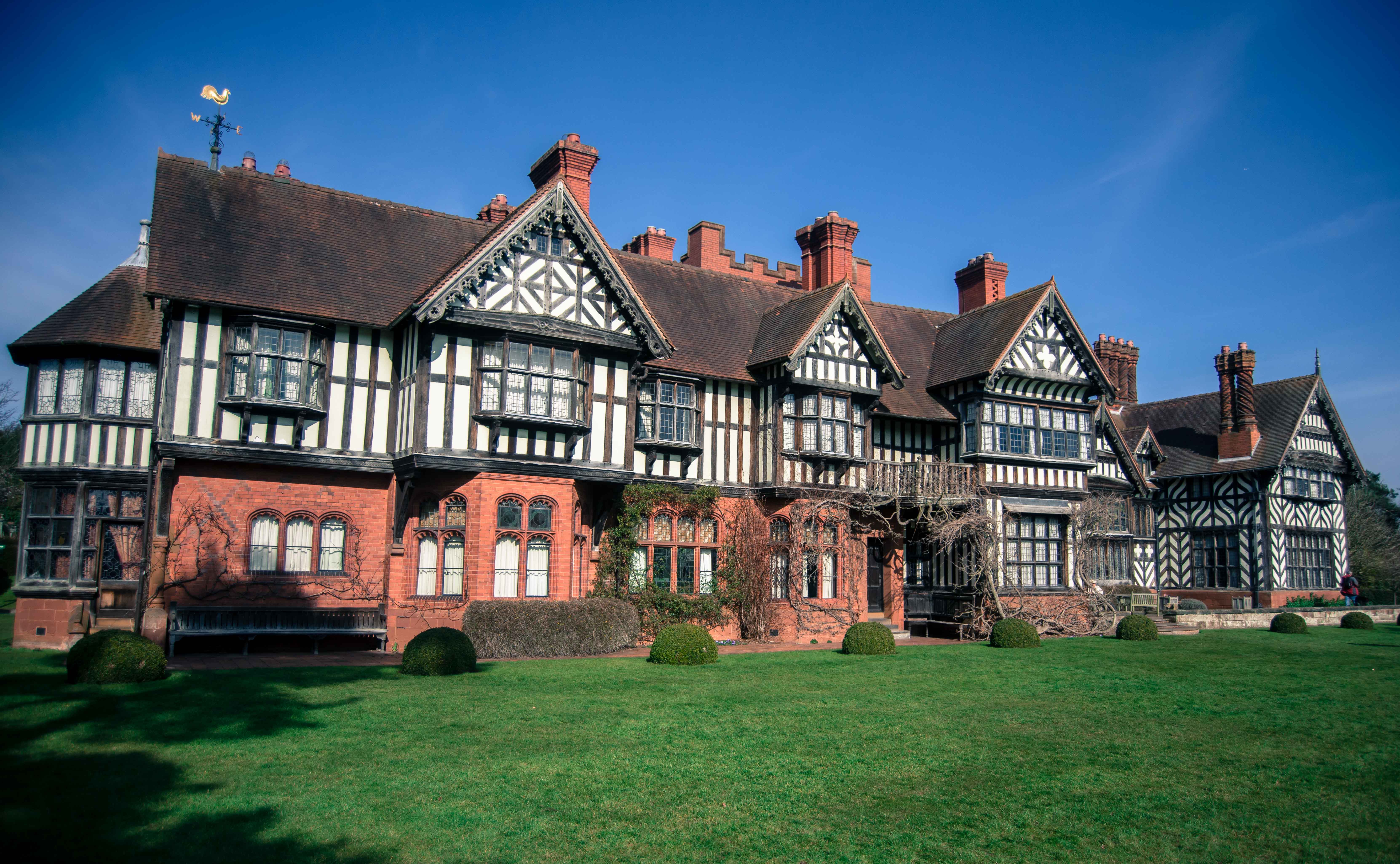
Wightwick Manor

Wightwick Manor ( WIT-ik) is a Victorian house in Wightwick Bank, a suburb of Wolverhampton, West Midlands, England. It was commissioned in 1887 from the...

Nurton

Nurton is a hamlet in the South Staffordshire District, in the English county of Staffordshire. Nearby settlements include the city of Wolverhampton and...

Nearby Amenities

Located within 500m of 52.586798,-2.216204
Traffic Signals
Traffic Signals: traffic_lights
Traffic Signals Direction: both
Lat/Long: 52.5865727/-2.2121943
The data included in this document is from www.openstreetmap.org. The data is made available under ODbL.

Have you been to Perton, Old?

Leave your review of Perton, Old below (or comments, questions and feedback).