Hurst, Old

Settlement in Huntingdonshire Huntingdonshire

England

Hurst, Old

St Peter's church in Oldhurst, Cambridgeshire
St Peter's church in Oldhurst, Cambridgeshire Credit: Richard Humphrey

The requested URL returned error: 429 Too Many Requests

If you have any feedback on the listing, please let us know in the comments section below.
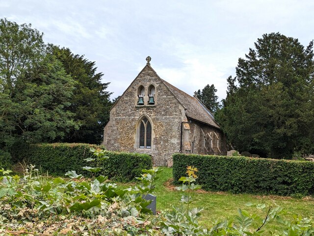
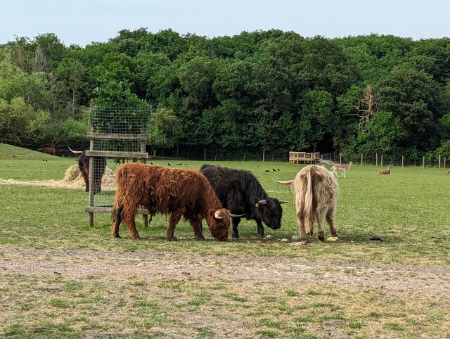
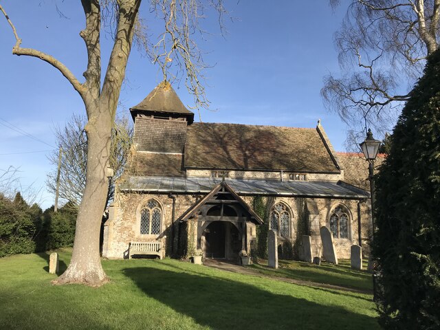
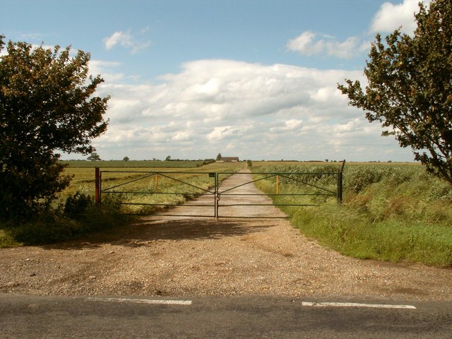
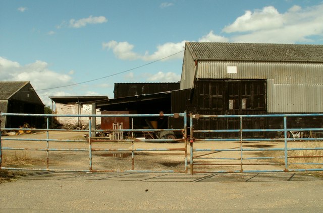
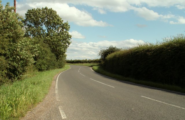
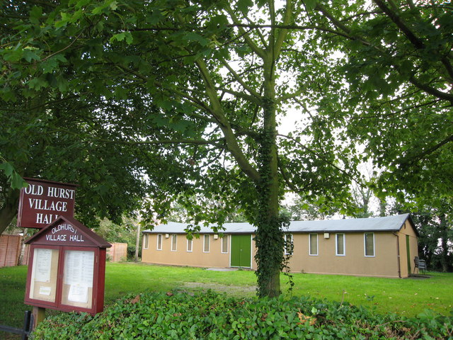
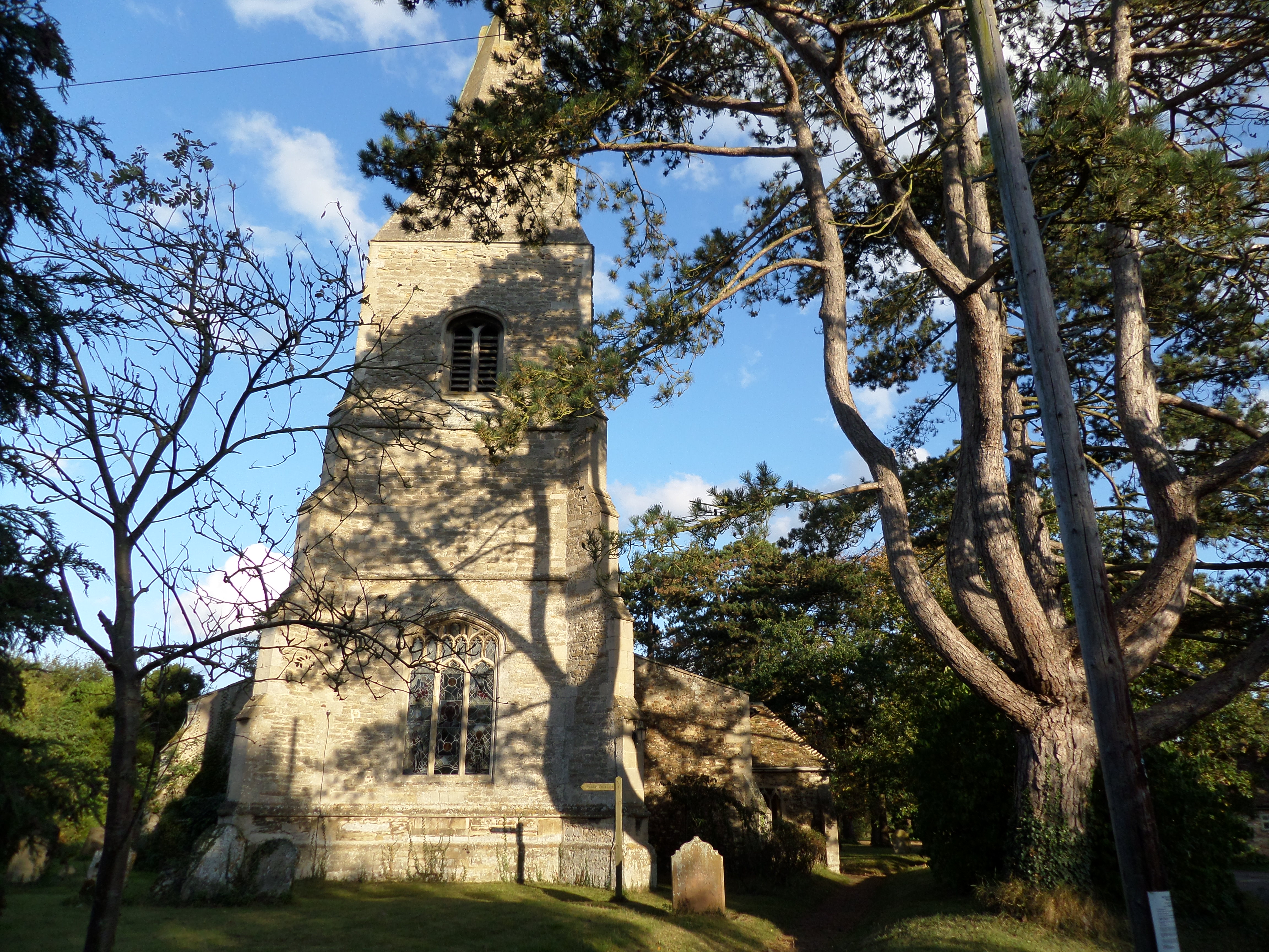
Hurst, Old Images

Images are sourced within 2km of 52.37543/-0.093124 or Grid Reference TL2976. Thanks to Geograph Open Source API. All images are credited.

St Peter's church in Oldhurst, Cambridgeshire
Highland cattle at Johnson's Farm, Oldhurst
Woodhurst parish church
Oakleigh Farm
Oakleigh Farm
The road to Pidley Lodge Farm
Part of Church Farm, as seen from Church Street
The road into Woodhurst from Oldhurst
Mast next to the B1040
Old Hurst - the village hall. The hall building was originally located at nearby RAF Wyton.
Old Hurst - the village hall.
The hall building was originally located at nearby RAF Wyton.
Giant Straw Stack near RAF Wyton This stack has been covered presumably in an attempt to keep the straw dry.
Giant Straw Stack near RAF Wyton
This stack has been covered presumably in an attempt to keep the straw dry.
RAF Wyton crash exit Before the airbase at Wyton was built, a minor road led south from Old Hurst to St Ives; its route can be clearly seen on the OS map. This road has been severed by the airfield, and gates now bar the way. This gate is the 'crash exit' providing access or egress to emergency vehicles.
RAF Wyton crash exit
Before the airbase at Wyton was built, a minor road led south from Old Hurst to St Ives; its route can be clearly seen on the OS map. This road has been severed by the airfield, and gates now bar the way. This gate is the 'crash exit' providing access or egress to emergency vehicles.
RAF Wyton crash exit road This road formerly linked Old Hurst and St Ives.  It is now used only as the crash exit from RAF Wyton.
RAF Wyton crash exit road
This road formerly linked Old Hurst and St Ives. It is now used only as the crash exit from RAF Wyton.
St John The Baptist Church
Wellington Close, Oldhurst
After the rain
After the rain
Harvest in
Harvest in
Through the gate to New Barn
Field and trees Sewage works are completely hidden by the tall trees, middle distance.
Field and trees
Sewage works are completely hidden by the tall trees, middle distance.
Show me another place!

Hurst, Old is located at Grid Ref: TL2976 (Lat: 52.37543, Lng: -0.093124)

Administrative County: Cambridgeshire

District: Huntingdonshire

Police Authority: Cambridgeshire

What 3 Words

///saints.televise.lotteries. Near Warboys, Cambridgeshire

Nearby Locations

Hurst, Old Old Hurst

Related Wikis

Hurstingstone (hundred)

Hurstingstone was a hundred of Huntingdonshire, England that was mentioned in the Domesday Book of 1086. According to Victoria County History, the derivation...

Old Hurst

Old Hurst is a village and civil parish in Cambridgeshire, England, approximately 5 miles (8 km) north-east of Huntingdon. It is situated within Huntingdonshire...

Woodhurst

Woodhurst is a village and civil parish in Cambridgeshire, England. Woodhurst lies approximately 5 miles (8 km) north-east of Huntingdon and just north...

Broughton, Cambridgeshire

Broughton is a village and civil parish in the Huntingdonshire district of Cambridgeshire, England, around six miles north of Huntingdon. Broughton is...

Nearby Amenities

Located within 500m of 52.37543,-0.093124
Note: Transition node: NSL (south) to 40 mph (north)
Lat/Long: 52.3742185/-0.0921459
Old Hurst
Place: village
Lat/Long: 52.3765927/-0.0916858
Bus Stop
Lancaster Close
Bus: yes
Naptan AtcoCode: 0500HOLDH002
Naptan Bearing: NW
Naptan CommonName: Lancaster Close
Naptan Indicator: near
Naptan Landmark: Lancaster Close
Naptan NaptanCode: cmbdptap
Naptan Street: St Ives Road
Naptan Verified: no
Public Transport: platform
Source: naptan_import
Lat/Long: 52.3761012/-0.094406
Bus Stop
Lancaster Close
Bus: yes
Naptan AtcoCode: 0500HOLDH003
Naptan Bearing: SE
Naptan BusStopType: CUS
Naptan CommonName: Lancaster Close
Naptan Indicator: opp
Naptan Landmark: Lancaster Close
Naptan NaptanCode: cmbdptat
Naptan Street: St Ives Road
Naptan Verified: no
Public Transport: platform
Source: naptan_import
Lat/Long: 52.3761245/-0.0943414
Public Bookcase
Old Hurst Book Exchange
Booth: K6
Disused Amenity: telephone
Man Made: telephone_box
Public Bookcase Type: phone_box
Lat/Long: 52.3760345/-0.0943624
Post Box
Post Box Mounting: telegraph_pole
Post Box Type: lamp
Lat/Long: 52.3761264/-0.0944898
Community Centre
Old Hurst Village Hall
Community Centre: village_hall
Lat/Long: 52.3755045/-0.0891273
Johnsons
Addr City: Oldhurst
Addr Housenumber: Church Farm
Addr Postcode: PE28 3AF
Addr Street: Church Street
Opening Hours: Tu-Fr 09:00-18:00; Sa 09:00-16:30
Operator: Johnsons of Old Hurst
Phone: +44 1487 824658
Shop: butcher
Website: https://www.johnsonsofoldhurst.co.uk/
Lat/Long: 52.3780786/-0.0908374
Power: pole
Lat/Long: 52.3762771/-0.0908468
Power: pole
Lat/Long: 52.3753848/-0.0872792
Power: pole
Lat/Long: 52.3761297/-0.0898061
Power: pole
Lat/Long: 52.3779177/-0.0946659
Power: pole
Lat/Long: 52.3778686/-0.0989468
Power: pole
Lat/Long: 52.3760274/-0.0891259
Power: pole
Lat/Long: 52.3765829/-0.0929753
Power: pole
Lat/Long: 52.3778915/-0.0960285
Power: pole
Lat/Long: 52.3767667/-0.0942064
Power: pole
Lat/Long: 52.3778852/-0.0975094
Power: pole
Lat/Long: 52.3756795/-0.0879765
Power: pole
Lat/Long: 52.3764327/-0.0919891
Power: pole
Lat/Long: 52.3750786/-0.0864932
Power: pole
Lat/Long: 52.376056/-0.094175
Power: pole
Lat/Long: 52.3758628/-0.0944607
Cafe
The Eccentric Englishman
Addr City: Oldhurst
Addr Housenumber: Church Farm
Addr Postcode: PE28 3AF
Addr Street: Church Street
Cuisine: regional
Opening Hours: Tu-Fr 09:30-16:00; Sa 09:30-16:30
Outdoor Seating: yes
Phone: +44 1487 824658
Website: https://www.johnsonsofoldhurst.co.uk/
Wheelchair: yes
Lat/Long: 52.3782901/-0.0903981
Church Farm
Place: locality
Lat/Long: 52.3785998/-0.0895241
Bench
Lat/Long: 52.3760857/-0.0944458
Information: board
Tourism: information
Lat/Long: 52.3760693/-0.0944753
Toilets
Lat/Long: 52.3783346/-0.0905158
Entrance: main
Ref: Johnsons of Old Hurst entrance
Lat/Long: 52.3785393/-0.0908637
Entrance: main
Lat/Long: 52.3785889/-0.0900238
Entrance: yes
Lat/Long: 52.3787441/-0.0899479
St Peter Church
Information: board
Tourism: information
Lat/Long: 52.378165/-0.0914001
Farm shop entrance
Entrance: yes
Lat/Long: 52.3781816/-0.0905001
Entrance: yes
Lat/Long: 52.3782517/-0.0904296
Hand washing station
Man Made: water_tap
Lat/Long: 52.3783272/-0.0905529
Entrance: yes
Lat/Long: 52.3785137/-0.0902759
Entrance: yes
Lat/Long: 52.37825/-0.0900871
The data included in this document is from www.openstreetmap.org. The data is made available under ODbL.

Have you been to Hurst, Old?

Leave your review of Hurst, Old below (or comments, questions and feedback).