Acres Nook
Settlement in Staffordshire Newcastle-under-Lyme
England
Acres Nook
Acres Nook is a small village located in the county of Staffordshire, England. Situated in the West Midlands region, it is nestled within the scenic countryside, offering residents and visitors a peaceful and idyllic setting.
The village is known for its picturesque surroundings, characterized by rolling hills, lush green fields, and charming countryside views. Acres Nook is surrounded by several other small villages, creating a close-knit community atmosphere where neighbors are friendly and supportive.
The village itself is relatively small, with a population of around 500 residents. It is primarily residential, with a mix of traditional cottages, farmhouses, and more contemporary homes. The architecture of the village reflects its rich history, with some buildings dating back to the 18th century.
Acres Nook is well-connected to nearby towns and cities, with good transport links facilitating easy access to amenities and services. The village is within close proximity to larger towns such as Stafford and Stoke-on-Trent, providing residents with a range of shopping, leisure, and employment opportunities.
Nature enthusiasts will appreciate the abundance of outdoor activities available in Acres Nook. The surrounding countryside offers many walking and cycling trails, allowing residents to explore the beautiful landscapes and enjoy the tranquility of the area. Additionally, the village is within easy reach of several nature reserves and parks, providing further opportunities for outdoor recreation.
Overall, Acres Nook offers a charming rural lifestyle with easy access to modern amenities, making it an attractive place to live or visit for those seeking a peaceful and picturesque setting.
If you have any feedback on the listing, please let us know in the comments section below.
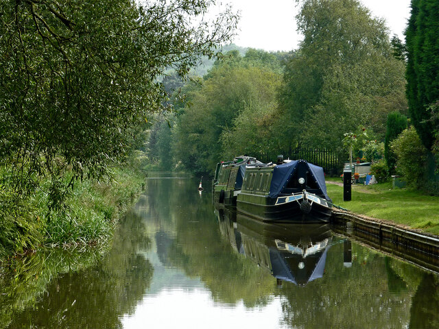
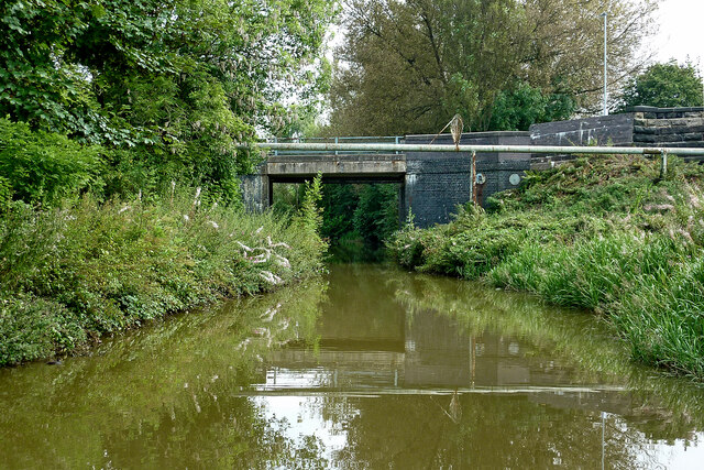
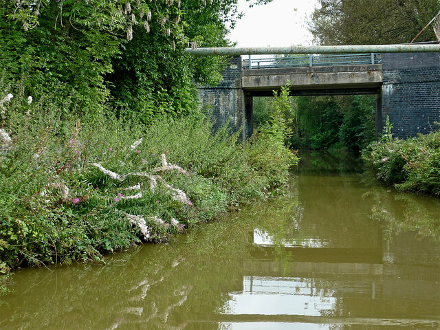
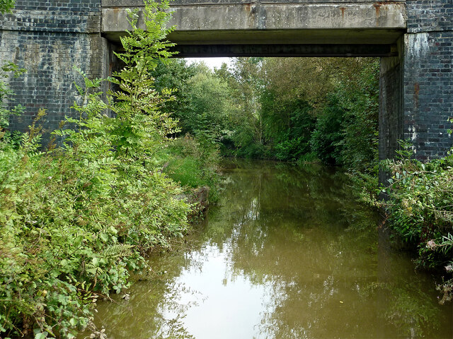
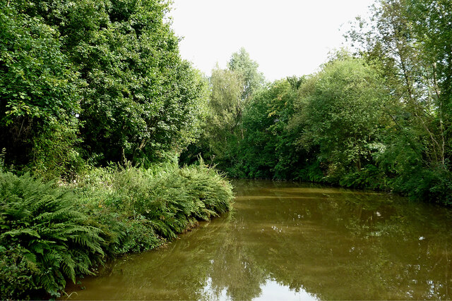
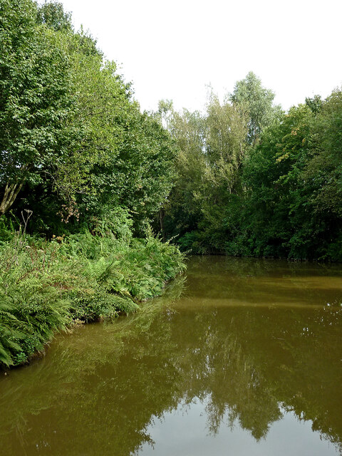
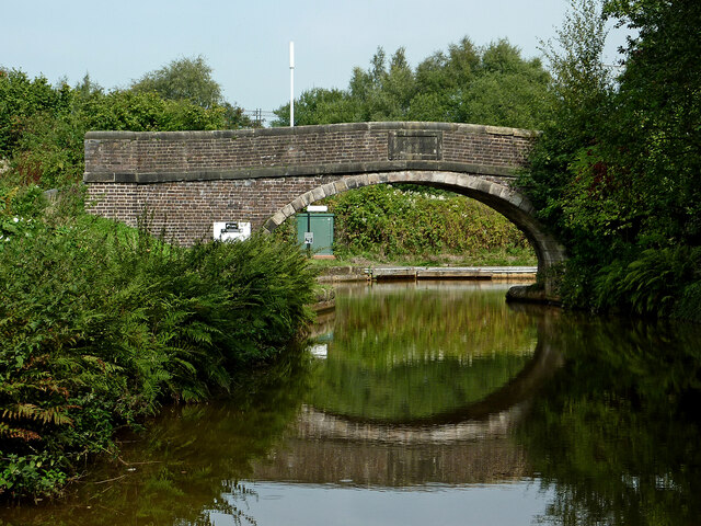
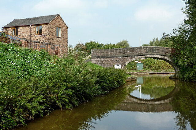
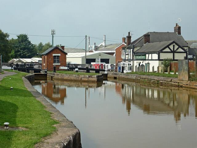
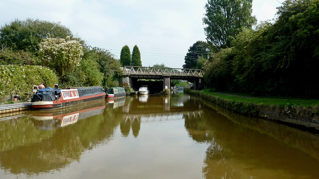
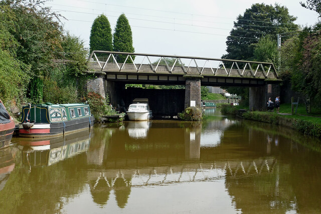
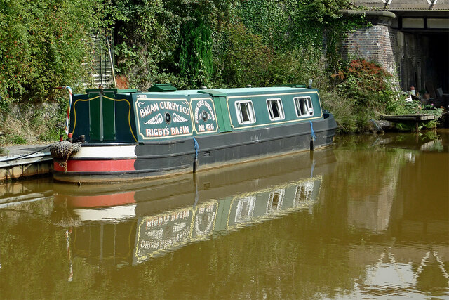
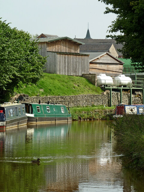
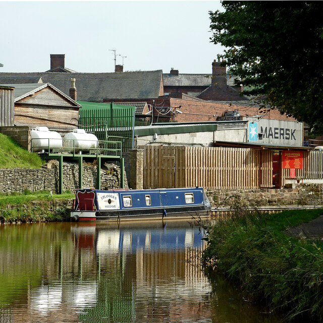
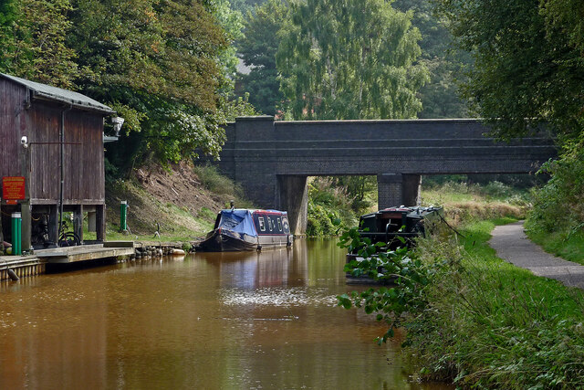
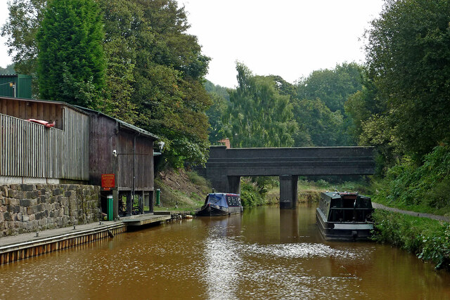
Acres Nook Images
Images are sourced within 2km of 53.07541/-2.240288 or Grid Reference SJ8453. Thanks to Geograph Open Source API. All images are credited.

Acres Nook is located at Grid Ref: SJ8453 (Lat: 53.07541, Lng: -2.240288)
Administrative County: Staffordshire
District: Newcastle-under-Lyme
Police Authority: Staffordshire
What 3 Words
///quiz.this.sting. Near Kidsgrove, Staffordshire
Nearby Locations
Related Wikis

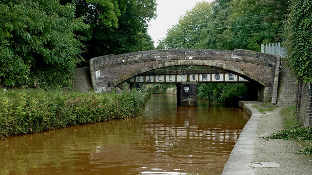
Harecastle Tunnel
Harecastle Tunnel is a canal tunnel on the Trent and Mersey Canal in Staffordshire between Kidsgrove and Tunstall. The tunnel, which is 1.6 mi (2.6 km...

Bathpool Park
Bathpool Park is a public park in a rural area between Newcastle-under-Lyme and Kidsgrove, Staffordshire (near the border with Cheshire). The park became...
Ravenscliffe (ward)
Ravenscliffe is an area of Kidsgrove, Staffordshire, England, lying south of the town centre and west of Sandyford.The name Ravenscliffe was used for a...
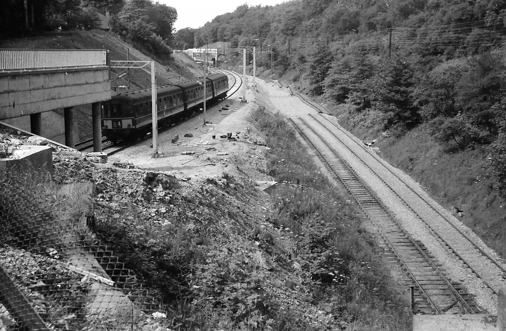
Harecastle railway tunnel
The Harecastle railway tunnels are three consecutive tunnels on the North Staffordshire Railway at Kidsgrove, Staffordshire, England. Opened to traffic...
Kidsgrove Athletic F.C.
Kidsgrove Athletic F.C. is an English football club based in Kidsgrove, Staffordshire, England currently playing in the Northern Premier League Division...
The King's Church of England Academy
The King's Church of England Academy (formerly Clough Hall Technology School and then The King's Church of England School) is a mixed secondary school...

Kidsgrove Town Hall
Kidsgrove Town Hall is a municipal building in Liverpool Road in Kidsgrove, Staffordshire, England. The building, which is the meeting place of Kidsgrove...

Market Street Halt railway station
Market Street Halt was a halt that served the town of Kidsgrove, Staffordshire, England. It was opened in 1909 and located on the Potteries Loop Line...
Nearby Amenities
Located within 500m of 53.07541,-2.240288Have you been to Acres Nook?
Leave your review of Acres Nook below (or comments, questions and feedback).