Down, Old
Settlement in Somerset Mendip
England
Down, Old
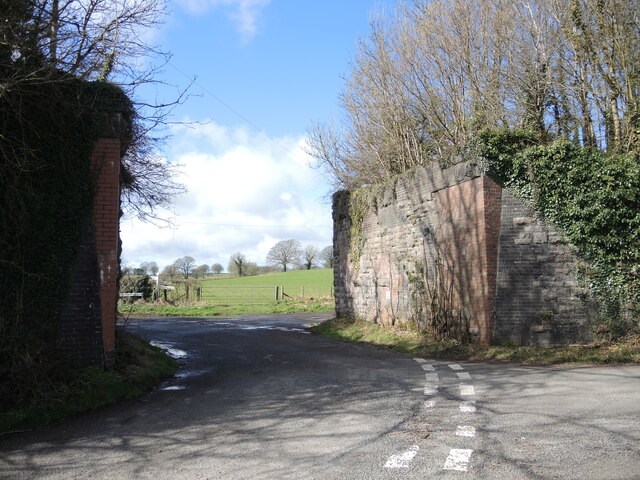
Down, Old, Somerset is a small village located in the county of Somerset, England. Situated approximately 15 miles south of the city of Bath, it is nestled amidst the picturesque rolling hills of the West Country. With a population of around 500 residents, the village exudes a charming and peaceful atmosphere.
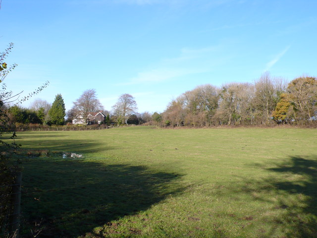
The history of Down, Old, Somerset can be traced back to the medieval period, as evidenced by its quaint architecture and narrow winding streets. The village retains much of its original character, with a cluster of thatched cottages and a historic church that dates back several centuries. Surrounding the village are lush green fields and meadows, providing a stunning backdrop for leisurely walks and outdoor activities.
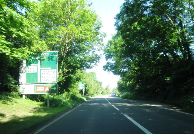
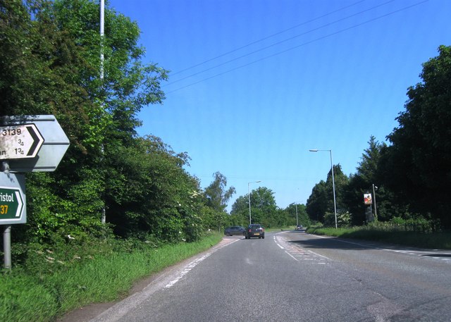
Despite its small size, Down, Old, Somerset offers a range of amenities to cater to the needs of its residents. The village boasts a local pub, a village hall, and a primary school, ensuring that the community has access to essential services. Additionally, the village is well-connected to nearby towns and cities, with regular bus services and a nearby railway station.
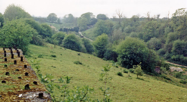
The natural beauty of the surrounding countryside makes Down, Old, Somerset an attractive destination for visitors seeking a tranquil retreat. The area offers numerous opportunities for outdoor pursuits, including hiking, cycling, and horse riding. The nearby Mendip Hills, an Area of Outstanding Natural Beauty, provide a stunning backdrop for exploring the region's diverse flora and fauna.
Overall, Down, Old, Somerset is a charming village that combines historical charm with natural beauty, making it an idyllic place to live or visit for those seeking a peaceful and picturesque setting.
If you have any feedback on the listing, please let us know in the comments section below.
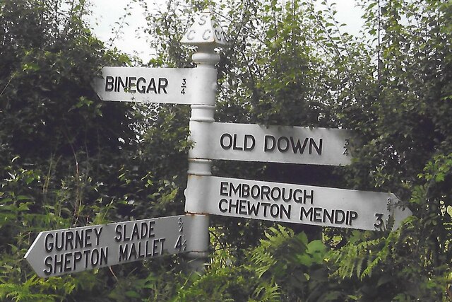
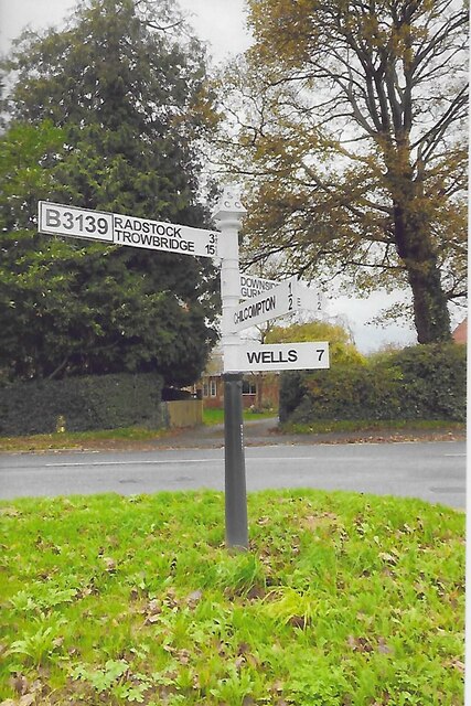
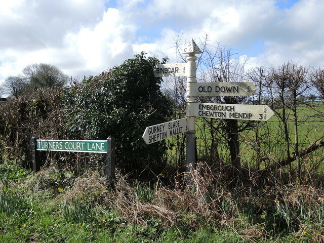
Down, Old Images
Images are sourced within 2km of 51.258953/-2.535232 or Grid Reference ST6251. Thanks to Geograph Open Source API. All images are credited.


Down, Old is located at Grid Ref: ST6251 (Lat: 51.258953, Lng: -2.535232)
Administrative County: Somerset
District: Mendip
Police Authority: Avon and Somerset
What 3 Words
///undertone.flopping.oppose. Near Chilcompton, Somerset
Nearby Locations
Related Wikis

Emborough Quarries
Emborough Quarries (grid reference ST623505) is a 1 hectare (2.5 acre) geological Site of Special Scientific Interest at Emborough in the Mendip Hills...

Church of the Blessed Virgin Mary, Emborough
The Church of the Blessed Virgin Mary in Emborough, Somerset, England is medieval in origin but underwent extensive renovation in the 18th century. It...
Emborough
Emborough is a village and civil parish 5 miles (8.0 km) north of Shepton Mallet, and 5 miles (8.0 km) north east of Wells, in the Mendip district of Somerset...
Blacker's Hill
Blacker's Hill is an Iron Age hill fort at Chilcompton, 4.5 kilometres (3 mi) south west of Radstock, Somerset, England. It has been designated as a Scheduled...

Gurney Slade quarry
Gurney Slade quarry, grid reference ST626497 is a limestone quarry near Gurney Slade between Binegar and Holcombe, on the Mendip Hills, Somerset, England...

Christ Church, Downside
Christ Church is a former Church of England church in Downside, Somerset, England. Designed by John Pinch the younger, it was built in 1837–38 and closed...
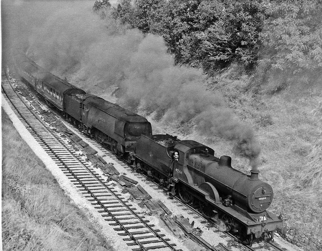
Chilcompton railway station
Chilcompton railway station was a station on the Somerset and Dorset Joint Railway at Chilcompton in the county of Somerset in England and opened on 20...

Binegar
Binegar is a small village and civil parish in Somerset, England. It is located on the A37, 4 miles (6.4 km) east of Wells, between Shepton Mallet and...
Nearby Amenities
Located within 500m of 51.258953,-2.535232Have you been to Down, Old?
Leave your review of Down, Old below (or comments, questions and feedback).