Burdon, Old
Settlement in Durham
England
Burdon, Old

Burdon is a small village located in County Durham, England. It is situated near the city of Sunderland and is part of the civil parish of Burdon. The village is known for its historic charm and picturesque countryside surroundings.
Burdon is home to a number of 19th-century buildings, including the Grade II listed Burdon Hall. The village also features a church, a primary school, and a local pub, providing residents with essential amenities.
The village is surrounded by lush green fields and rolling hills, making it an ideal location for those who enjoy outdoor activities such as hiking and cycling. The nearby river offers opportunities for fishing and boating, adding to the village's appeal for nature lovers.
Burdon has a close-knit community and a strong sense of tradition, with many residents actively involved in local events and initiatives. The village hosts an annual summer fair and other community gatherings, bringing residents together to celebrate their shared heritage.
Overall, Burdon offers a peaceful and idyllic setting for those seeking a quiet village lifestyle in the heart of the Durham countryside.
If you have any feedback on the listing, please let us know in the comments section below.
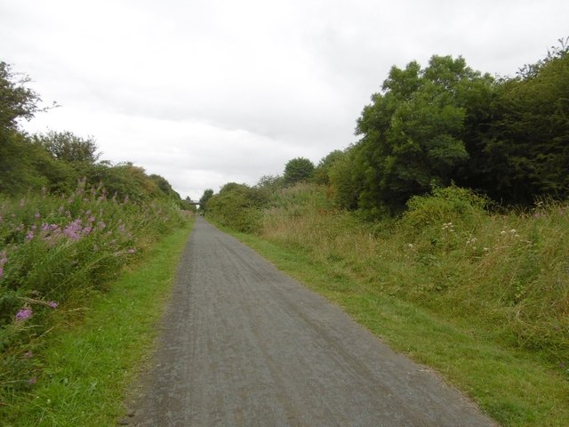
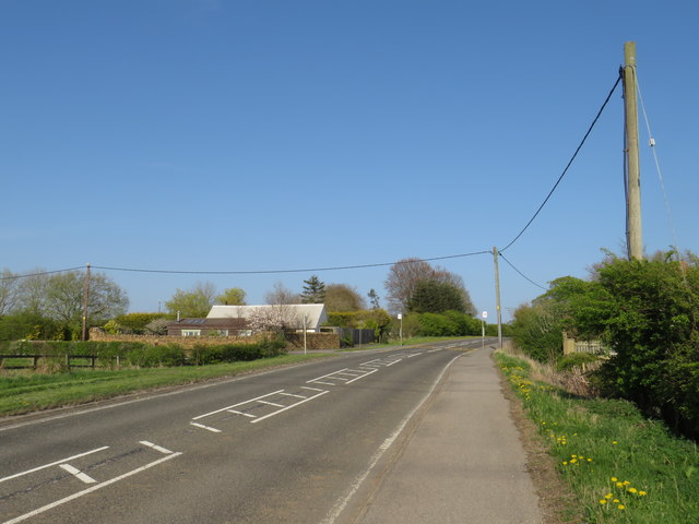
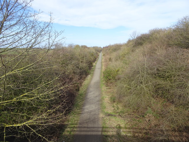
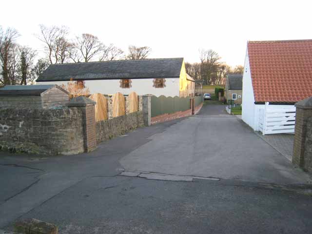
Burdon, Old Images
Images are sourced within 2km of 54.843378/-1.4098007 or Grid Reference NZ3850. Thanks to Geograph Open Source API. All images are credited.


Burdon, Old is located at Grid Ref: NZ3850 (Lat: 54.843378, Lng: -1.4098007)
Unitary Authority: Sunderland
Police Authority: Northumbria
What 3 Words
///ages.aware.minus. Near Murton, Co. Durham
Nearby Locations
Related Wikis

Old Burdon
Old Burdon is a village in County Durham, England.
Warden Law
Warden Law is a village and civil parish in the City of Sunderland in Tyne and Wear, England. It is south-west of Sunderland city centre. It has a population...
Burdon
Burdon is a village and civil parish in the City of Sunderland in Tyne and Wear, England. It is south of the city centre. The north-west of the parish...
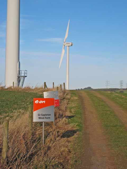
Great Eppleton Wind Farm
Great Eppleton Wind Farm is a wind farm near Hetton-le-Hole, England. It is owned and operated by E.ON UK. Constructed in 1997, it was notable for originally...
Nearby Amenities
Located within 500m of 54.843378,-1.4098007Have you been to Burdon, Old?
Leave your review of Burdon, Old below (or comments, questions and feedback).