Bicton

Settlement in Herefordshire

England

Bicton

The Balance Inn at Luston
The Balance Inn at Luston Credit: Eirian Evans

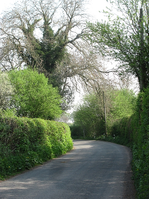
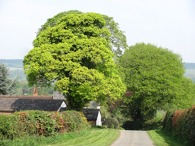
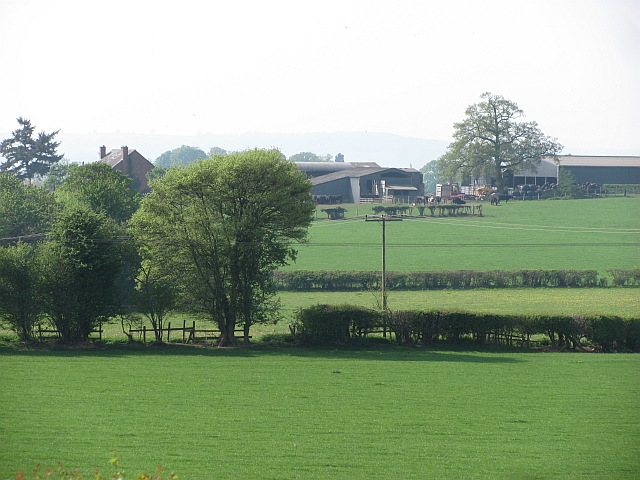
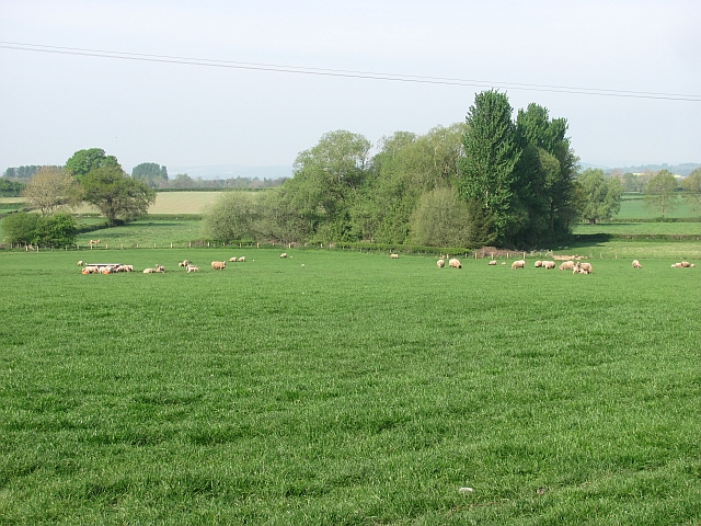
Bicton is a small village located in the county of Herefordshire, England. Situated approximately 4 miles southwest of the market town of Shrewsbury, it lies within the beautiful countryside of the county. The village is nestled in a valley, surrounded by rolling hills and lush green fields, offering picturesque views and a tranquil atmosphere.

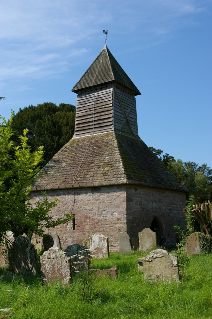
Bicton is known for its charming traditional architecture, with many buildings dating back centuries. The village church, St. James' Church, is a prominent feature, showcasing medieval architecture and serving as a reminder of the village's rich history. The churchyard is a peaceful spot, offering a place for reflection and tranquility.

The village has a close-knit community, with a population of around 300 residents. It boasts a friendly and welcoming atmosphere, with a strong sense of community spirit. Bicton also benefits from a range of amenities, including a village hall and a primary school, providing essential services for its residents.

Surrounded by scenic countryside, Bicton offers excellent opportunities for outdoor activities such as hiking, cycling, and horse riding. The nearby Bicton Common is a popular spot for nature lovers, with its diverse flora and fauna, providing a peaceful retreat for wildlife enthusiasts.

Overall, Bicton is a charming village that combines natural beauty, a sense of history, and a close community spirit. It offers residents and visitors a peaceful and idyllic setting, making it a desirable place to live or explore in Herefordshire.

If you have any feedback on the listing, please let us know in the comments section below.
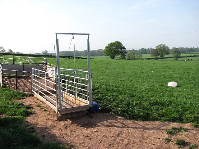
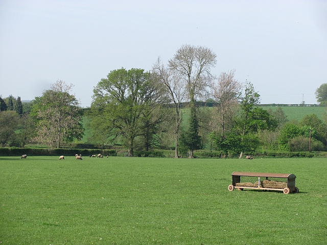
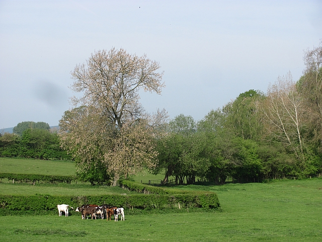
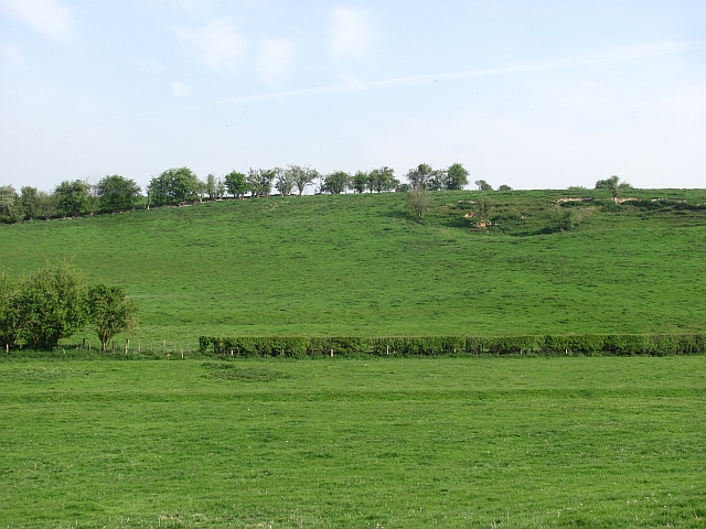
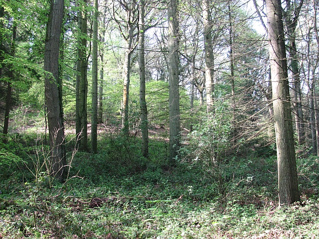
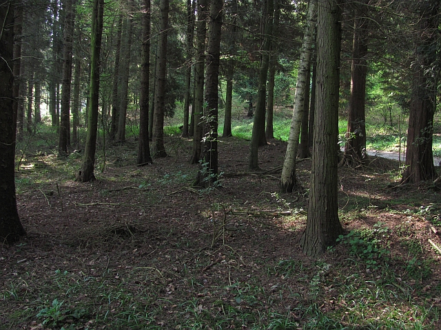
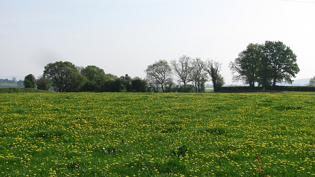
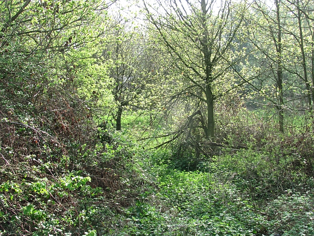
Bicton Images

Images are sourced within 2km of 52.271131/-2.7803732 or Grid Reference SO4663. Thanks to Geograph Open Source API. All images are credited.

The Balance Inn at Luston
Luston Looking northwards on one of the two Leominster - Ludlow roads.
The house for sale was a four bedroom house at £235,000.
Luston
Looking northwards on one of the two Leominster - Ludlow roads. The house for sale was a four bedroom house at £235,000.
Pub sign, Luston The Balance, Luston.
Pub sign, Luston
The Balance, Luston.
Gathering pens, Aston (Eyton) Sheep handling equipment in a field of sheep.
Gathering pens, Aston (Eyton)
Sheep handling equipment in a field of sheep.
Pasture near Halford Hall Field with ewes and lambs.
Pasture near Halford Hall
Field with ewes and lambs.
Calves near Basket's Gate There are still small fields in the drumlin country near Yarpole.
Calves near Basket's Gate
There are still small fields in the drumlin country near Yarpole.
Drumlin near Yarpole One of a series of regular hills left behind by a retreating glacier between Shobdon and Luston.
Drumlin near Yarpole
One of a series of regular hills left behind by a retreating glacier between Shobdon and Luston.
Oaker Wood Mature woodland near Yarpole.  Home to a team building and adventure company.
Oaker Wood
Mature woodland near Yarpole. Home to a team building and adventure company.
Oaker Wood Mature mixed woodland near Yarpole. Home to an adventure and team building company.
Oaker Wood
Mature mixed woodland near Yarpole. Home to an adventure and team building company.
Farmland near Yarpole Dandelions in a green field south of Yarpole.
Farmland near Yarpole
Dandelions in a green field south of Yarpole.
Woodland, Bicton A young wood between some buildings and the road to Kingsland. This used to be a field and a gate remains, almost hidden by vegetation.
Woodland, Bicton
A young wood between some buildings and the road to Kingsland. This used to be a field and a gate remains, almost hidden by vegetation.
Yarpole to Kingsland road View in the direction of Yarpole.
Yarpole to Kingsland road
View in the direction of Yarpole.
Minor road near Bicton Looking downhill towards Bicton with a distant view of the great limestone ridge which begins as Wenlock Edge and carries on across northern Herefordshire.
Minor road near Bicton
Looking downhill towards Bicton with a distant view of the great limestone ridge which begins as Wenlock Edge and carries on across northern Herefordshire.
Farmland, The Riddle
Fir  Coppice A stile beside a small wood.
Fir Coppice
A stile beside a small wood.
Dunprowlin Cat wandering past the back of a house near Luston.
Dunprowlin
Cat wandering past the back of a house near Luston.
Luston Looking towards Leominster. The bus stop is on the Ludlow to Hereford service, which operated as the glacially slow Birmingham to Hereford bus at one time. With Orleton, Richard's Castle and Luston, this road was favoured by the bus companies over the less populated A49 when bus services were removed.
Luston
Looking towards Leominster. The bus stop is on the Ludlow to Hereford service, which operated as the glacially slow Birmingham to Hereford bus at one time. With Orleton, Richard's Castle and Luston, this road was favoured by the bus companies over the less populated A49 when bus services were removed.
Sheep, Aston
Sheep, Aston
Show me another place!

Bicton is located at Grid Ref: SO4663 (Lat: 52.271131, Lng: -2.7803732)

Unitary Authority: County of Herefordshire

Police Authority: West Mercia

What 3 Words

///wolf.baker.offer. Near Eyton, Herefordshire

Related Wikis

Bicton, Herefordshire

Bicton is a hamlet in the Croft and Yarpole parish in Herefordshire, England. It is on a crossroads south of Yarpole and north-east of Kingsland.

Folly's Lane

Folly's Lane is a woodland in Herefordshire, England, near the village of Luston. It covers a total area of 1.18 hectares (2.92 acres). It is owned and...

Yarpole

Yarpole is a village and former civil parish, now in the parish of Croft and Yarpole, Herefordshire, England, about 4.5 miles (7 km) north-west of Leominster...

Croft and Yarpole

Croft and Yarpole is a civil parish in the county of Herefordshire, England, and is 17 miles (27 km) north from the city and county town of Hereford....

Nearby Amenities

Located within 500m of 52.271131,-2.7803732
Bicton
Place: hamlet
Source: OS_OpenData_StreetView
Lat/Long: 52.2713548/-2.7814508
Oaker Wood
Place: locality
Source: note #2232774
Lat/Long: 52.2672414/-2.7830386
The data included in this document is from www.openstreetmap.org. The data is made available under ODbL.

Have you been to Bicton?

Leave your review of Bicton below (or comments, questions and feedback).