Benwell, Old
Settlement in Northumberland
England
Benwell, Old
Benwell is a small village located in the county of Northumberland, England. Situated in the western part of the county, it lies approximately three miles west of the city center of Newcastle upon Tyne. Historically, Benwell was a part of the larger township of Elswick, but it became a separate entity in the early 19th century.
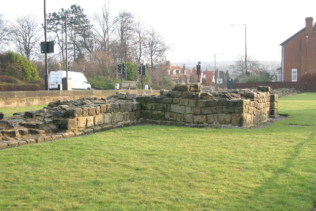
The village is known for its rich history, with evidence of human settlement dating back to Roman times. The remains of a Roman fort, known as Condercum, can still be seen in the area. This fort played a significant role in defending the Roman Empire's northern frontier and served as a base for the Roman army.
In addition to its Roman heritage, Benwell also has a strong industrial background. During the 18th and 19th centuries, the village thrived due to its coal mines and ironworks. Many of the workers in these industries lived in the village, and their presence contributed to its growth and development.
Today, Benwell is a residential area with a mix of housing, ranging from traditional terraced houses to modern developments. The village offers a range of amenities, including shops, schools, and recreational facilities. It is well-connected to Newcastle upon Tyne by public transportation, making it an attractive place for commuters.
Despite its proximity to the city, Benwell retains a sense of community and tranquility. The village's historical significance, coupled with its convenient location, makes it an appealing place to live for those seeking a balance between rural charm and urban amenities.
If you have any feedback on the listing, please let us know in the comments section below.
Benwell, Old Images
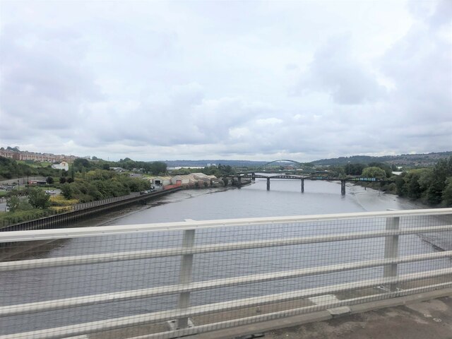
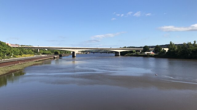
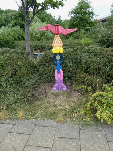
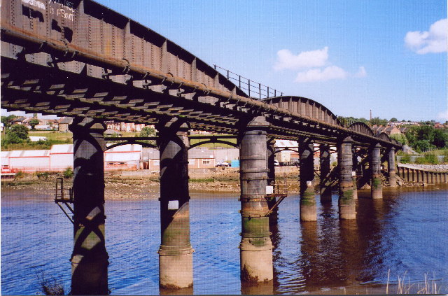
Images are sourced within 2km of 54.972451/-1.674093 or Grid Reference NZ2064. Thanks to Geograph Open Source API. All images are credited.


Benwell, Old is located at Grid Ref: NZ2064 (Lat: 54.972451, Lng: -1.674093)
Unitary Authority: Newcastle upon Tyne
Police Authority: Northumbria
What 3 Words
///tricks.shapes.camera. Near Benwell, Tyne & Wear
Nearby Locations
Related Wikis

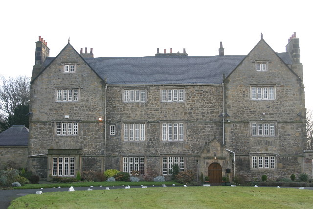
Benwell Dene
Benwell Dene is a Victorian building in the suburb of Benwell, Newcastle Upon Tyne, England. It was designed by Alfred Waterhouse for Dr Thomas Hodgkin...

The Mitre, Newcastle upon Tyne
The Mitre is a building situated in the Benwell area in the west end of Newcastle upon Tyne, England. It is a Grade II listed building.A tower house known...

Benwell
Benwell is an area in the West End of Newcastle upon Tyne, England. == History == The place-name 'Benwell' is first attested in the Historia de Sancto...

Benwell and Scotswood
Benwell and Scotswood is an electoral ward of Newcastle upon Tyne in North East England. The ward encompasses the Benwell and Scotswood housing areas,...
Benwell Nature Park
Benwell Nature Park is a Local Nature Reserve in Benwell, Newcastle upon Tyne, England. Many natural habitats have been established including a pond and...
Scotswood Works Halt railway station
Scotswood Works Halt railway station served the area of Scotswood, Newcastle-upon-Tyne, England from 1915 to 1944 on the Tyne Valley Line. == History... ==
St Cuthbert's High School
St Cuthbert's Catholic High School is a boys-only Roman Catholic secondary school with academy status located on Gretna Road in the Benwell Hill area of...

Condercum
Condercum was a Roman fort on the site of the modern-day Condercum Estate in Benwell, a suburb of Newcastle upon Tyne, England. It was the third fort on...
Nearby Amenities
Located within 500m of 54.972451,-1.674093Have you been to Benwell, Old?
Leave your review of Benwell, Old below (or comments, questions and feedback).