Alresford, Old

Settlement in Hampshire Winchester

England

Alresford, Old

Farmland, Bighton Spring barley on the hillside north of Henry's Wood.
Farmland, Bighton Credit: Andrew Smith

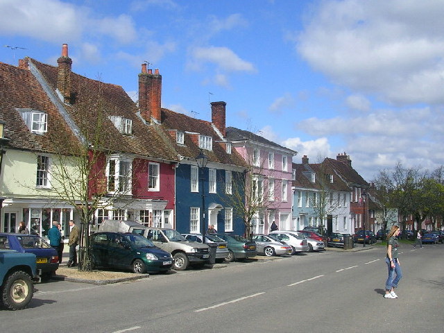
Alresford, Old is a small village situated in the county of Hampshire, England. Located approximately six miles east of Winchester, it lies in the picturesque Itchen Valley. With a population of around 1,000 residents, the village is known for its quaint charm and historical significance.

Alresford, Old is steeped in history, with evidence of human occupation dating back to the Bronze Age. The village was mentioned in the Domesday Book of 1086, highlighting its long-standing presence. The local architecture reflects its rich past, with many well-preserved period buildings and thatched cottages.

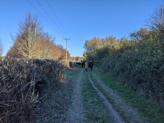
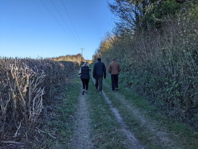
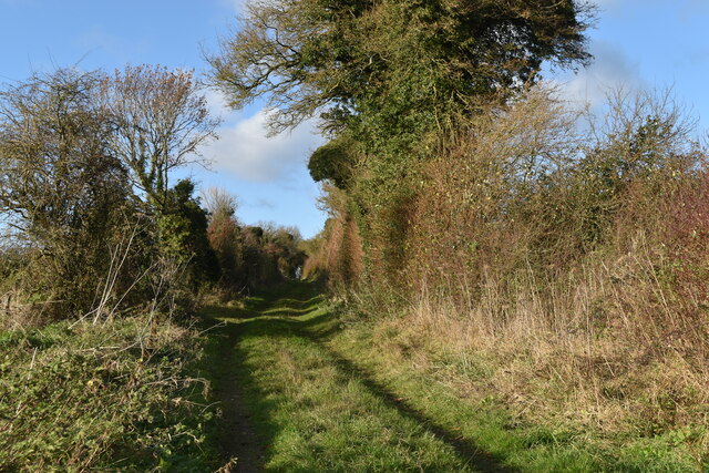
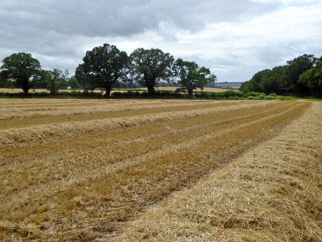
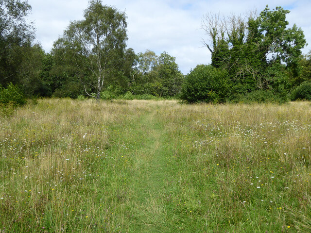
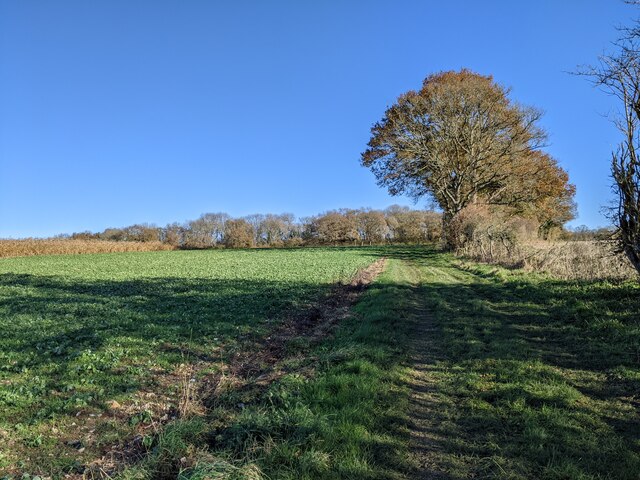
The village is surrounded by beautiful countryside, offering residents and visitors ample opportunities for walking, cycling, and outdoor activities. The nearby River Itchen flows through the village, adding to its scenic appeal. Many visitors are drawn to Alresford, Old for its peaceful ambiance and natural beauty.

Despite its small size, the village boasts a strong sense of community. It has a local church, a primary school, and a village hall, which serves as a hub for various social events and gatherings. The village also has a few shops, including a post office and a convenience store, catering to the daily needs of its residents.

Alresford, Old is well-connected to neighboring towns and cities, with regular bus services and easy access to major road networks. The village's proximity to Winchester also offers a range of amenities and employment opportunities.

Overall, Alresford, Old is a charming and tranquil village, providing a peaceful retreat for its residents and attracting visitors with its historical charm and natural beauty.

If you have any feedback on the listing, please let us know in the comments section below.

Alresford, Old Images

Images are sourced within 2km of 51.103339/-1.160004 or Grid Reference SU5834. Thanks to Geograph Open Source API. All images are credited.

Farmland, Bighton Spring barley on the hillside north of Henry's Wood.
Farmland, Bighton
Spring barley on the hillside north of Henry's Wood.
Walkers on Oxdrove Way heading north-east
Walkers on Oxdrove Way
Grassy track near Drayton Farm
Rolling fields and chalk pile A large pile of chalk stands in a field: nearby, chalk can be seen exposed less than 30cm below the ground surface.
Rolling fields and chalk pile
A large pile of chalk stands in a field: nearby, chalk can be seen exposed less than 30cm below the ground surface.
Track approaching Colden Lane
Low sunlight on Colden Lane
Mid Hants Railway towards Ropley
Field north of railway Looking from a train heading away from Alresford.
Field north of railway
Looking from a train heading away from Alresford.
Wandering westwards along the Bashire (29) Looking north-east on the road from Alresford to Bighton
Wandering westwards along the Bashire (29)
Looking north-east on the road from Alresford to Bighton
Bighton Road Towards Bighton.
Bighton Road
Towards Bighton.
Colden Lane Upton Park Farm to the right, the wall of the park to the left.
Colden Lane
Upton Park Farm to the right, the wall of the park to the left.
Mown field south of bridleway 127/15/2
Path, Abbotstone Down A Hampshire County Council property, the grassland is very floriferous.
Path, Abbotstone Down
A Hampshire County Council property, the grassland is very floriferous.
Train waiting departure at Alresford BR Class 9F 2-10-0 No. 92212 awaits departure time at Alresford on the Mid Hants Railway.  This day trains were only running as far as Medstead & Four Marks as a bridge was being built between there and the usual terminus of Alton.  251 of these heavy freight locomotives were built by BR between 1954 and 1960 and were the last class of steam locomotives to be built by BR.  Although intended for heavy freight trains, they could show a good turn of speed when used on passenger trains. 9 of these locomotives have been preserved, including the last steam locomotive built by BR, No. 92220 'Evening Star'.
Train waiting departure at Alresford
BR Class 9F 2-10-0 No. 92212 awaits departure time at Alresford on the Mid Hants Railway. This day trains were only running as far as Medstead & Four Marks as a bridge was being built between there and the usual terminus of Alton. 251 of these heavy freight locomotives were built by BR between 1954 and 1960 and were the last class of steam locomotives to be built by BR. Although intended for heavy freight trains, they could show a good turn of speed when used on passenger trains. 9 of these locomotives have been preserved, including the last steam locomotive built by BR, No. 92220 'Evening Star'.
Bridleway near Nettlebed Farm, looking east
Mid Hants Railway towards Ropley
Alresford Outer Home signal Looking back from a Mid Hants Railway train approaching Alresford. A feature I have never noticed on lower quadrant signals on other railways is that when 'On', the green spectacle is shrouded from view. Presumably this is to prevent spurious illumination by stray light.
Alresford Outer Home signal
Looking back from a Mid Hants Railway train approaching Alresford. A feature I have never noticed on lower quadrant signals on other railways is that when 'On', the green spectacle is shrouded from view. Presumably this is to prevent spurious illumination by stray light.
Show me another place!

Alresford, Old is located at Grid Ref: SU5834 (Lat: 51.103339, Lng: -1.160004)

Administrative County: Hampshire

District: Winchester

Police Authority: Hampshire

What 3 Words

///fortnight.reports.dreaming. Near New Alresford, Hampshire

Related Wikis

Old Alresford

Old Alresford ( OLZ-fərd or AWLZ-fərd) is a village and civil parish in Hampshire, England. It is 1 km (0.6 miles) north of the town of New Alresford...

Old Alresford House

Old Alresford House is an 18th-century Georgian country house in Old Alresford, Hampshire, England. It is a Grade II* listed building.It was built between...
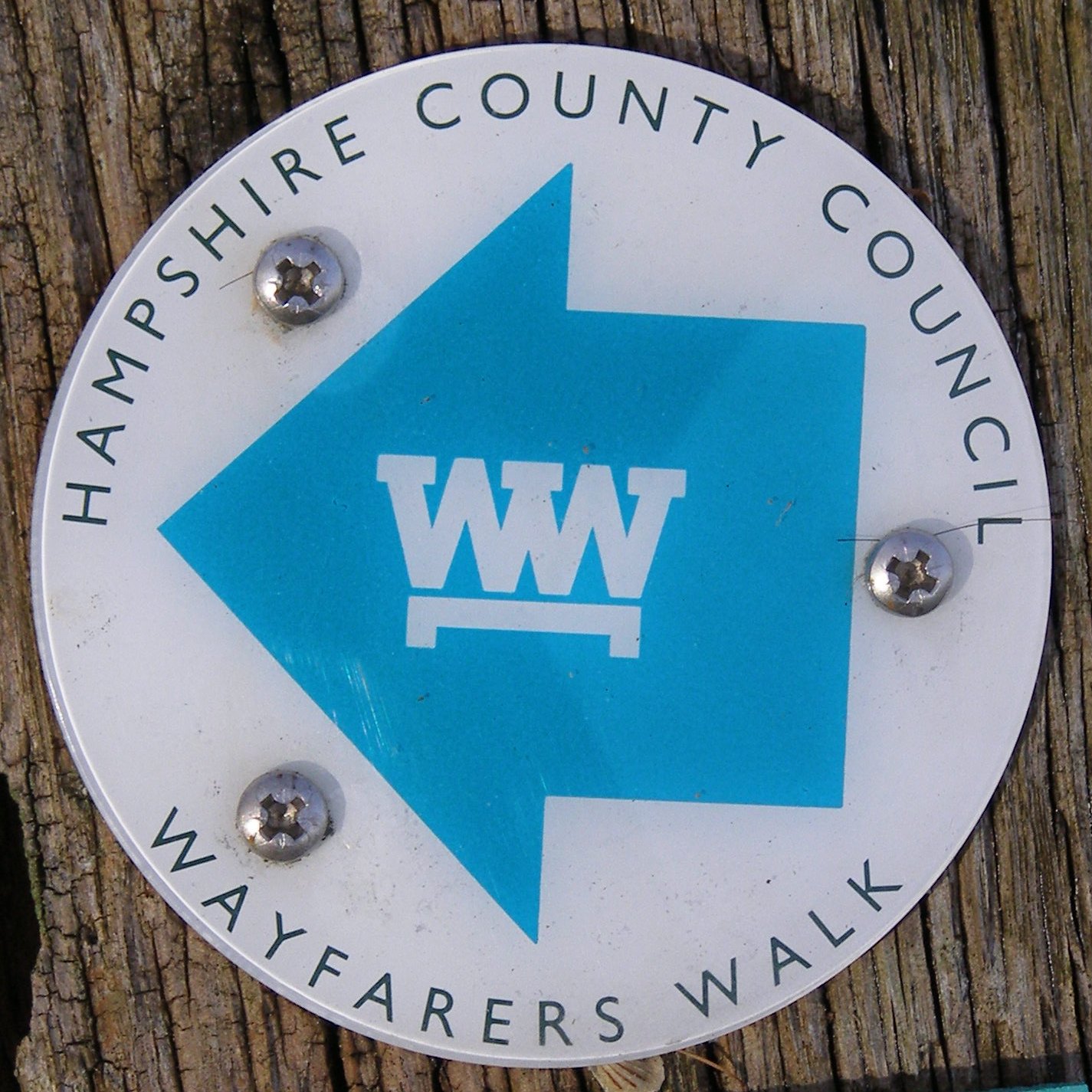
Wayfarer's Walk

The Wayfarer's Walk is a 71 mile long distance footpath in England from Walbury Hill, Berkshire to Emsworth, Hampshire. The north-west end is at the car...
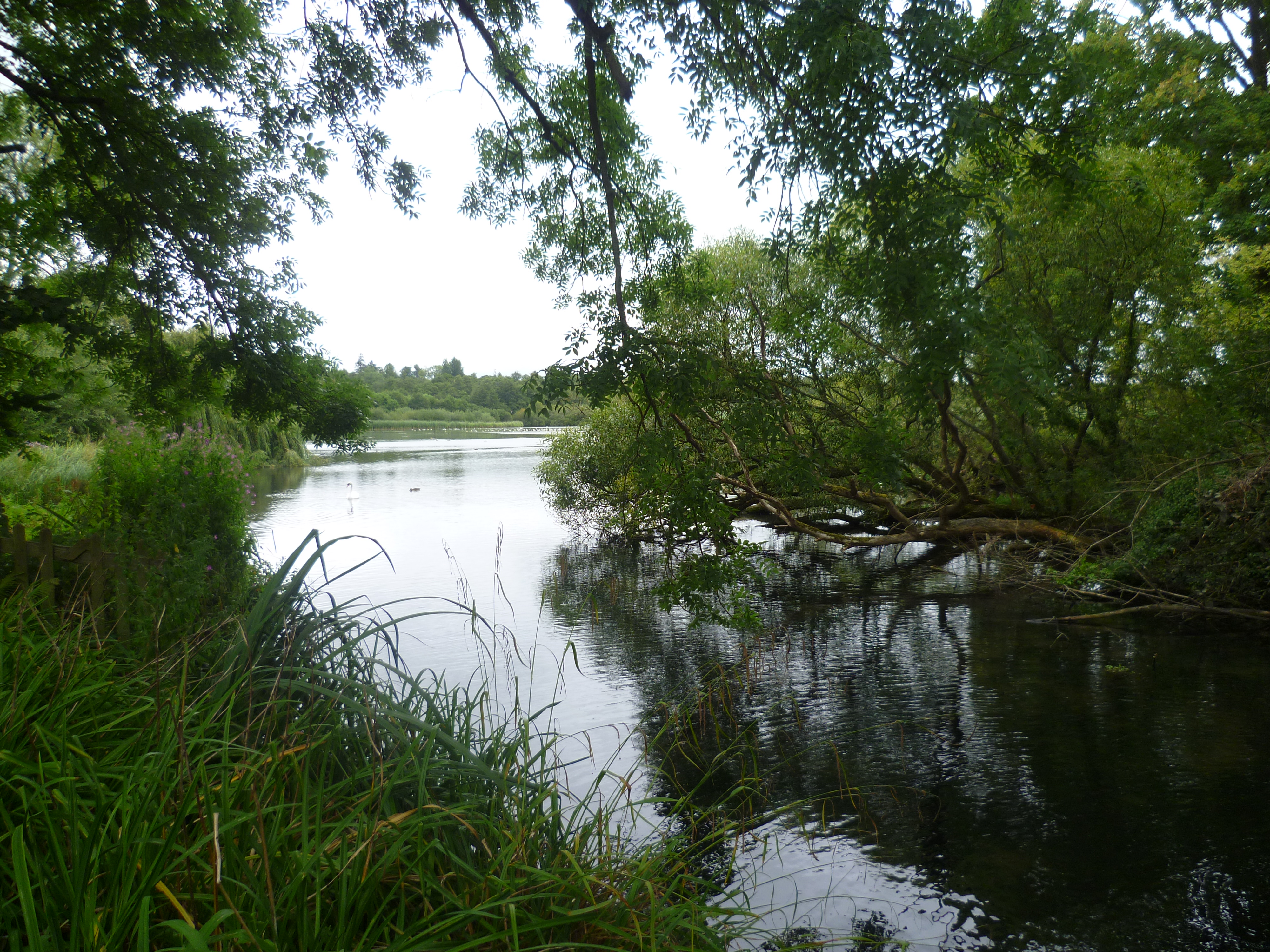
Alresford Pond

Alresford Pond is a 30.2-hectare (75-acre) biological Site of Special Scientific Interest on the north side of New Alresford in Hampshire. This large lake...

Itchin Stoke Down

Itchin Stoke Down is a rural location near the town of Alresford in Hampshire. It was used as a venue for 13 first-class cricket matches between 1778 and...

New Alresford

New Alresford or simply Alresford ( OLZ-fərd or AWLZ-fərd) is a market town and civil parish in the City of Winchester district of Hampshire, England...

Alresford Community Centre

Alresford Community Centre, formerly Alresford Town Hall, is a municipal building in West Street, New Alresford, Hampshire, England. The structure, which...

Deanery of Alresford

The Deanery of Alresford lies within the Diocese of Winchester in England. It includes the parishes of Cliddesden, Dummer, Itchen Abbas, Martyr Worthy...

Related Videos

Beautiful spring walk in Hampshire, New Alresford

A beautiful walk around The River Arle in New Alresford #nature #hampshire #hampshirelife #england #spring #february ...

New Alresford .. A beautiful town in England #beautiful #uk #hampshire #travel#nature #dailyshorts

nature#youtubeshorts #naturelovers #new #ytshorts #ytshorts#amazing#beautiful#hampshire #happiness#travel #beauty #peace ...

Day Out With Thomas on the Watercress Line Mid Hants Railway - August 2021

Real Life Thomas The Tank Engine, join us on the platform as we see Thomas pulling his carriages in this day of family fun at The ...

Major Missing #beautiful #hampshire #travel #ytshorts #yt #shortvideo #love #peaceofmind

nature #uk #travel #ytviralvideo #dailyshorts #shortsvideo #shortvideo #shotsfeed #naturebeauty #naturelovers.

Nearby Amenities

Located within 500m of 51.103339,-1.160004
Bus Stop
Old Alresford
Naptan AtcoCode: 1900HA110350
Naptan Bearing: NE
Naptan CommonName: Old Alresford
Naptan Crossing: Green Close
Naptan NaptanCode: hamdtpjw
Naptan Street: B3046
Naptan Verified: yes
Source: naptan_import
Lat/Long: 51.1030521/-1.1622343
Bus Stop
Old Alresford
Naptan AtcoCode: 1900HA110351
Naptan Bearing: SW
Naptan CommonName: Old Alresford
Naptan Crossing: Kiln Lane
Naptan NaptanCode: hamdtptg
Naptan Street: B3046
Naptan Verified: no
Source: naptan_import
Lat/Long: 51.1035596/-1.1615253
Post Box
Post Box Type: lamp
Ref: SO24 124
Lat/Long: 51.1030731/-1.1622564
Bench
Lat/Long: 51.1019184/-1.1633155
Old Alresford
Place: village
Source: survey
Wikidata: Q2465296
Wikipedia: en:Old Alresford
Lat/Long: 51.102218/-1.162722
Bus Stop
Old Alresford
Naptan CommonName: Old Alresford
Naptan Street: B3046
Naptan Verified: yes
Lat/Long: 51.1027997/-1.1620231
Bench
Lat/Long: 51.101694/-1.1632759
Power: pole
Lat/Long: 51.1067925/-1.1632231
Power: pole
Lat/Long: 51.1063092/-1.1621904
Power: pole
Lat/Long: 51.1058663/-1.1611712
Power: pole
Lat/Long: 51.1051994/-1.1592668
Power: pole
Lat/Long: 51.1046116/-1.1574698
Power: pole
Lat/Long: 51.1043034/-1.1551711
Power: pole
Lat/Long: 51.1039901/-1.1530951
Telephone
Defibrillator
Booth: K6
Covered: booth
Defibrillator Location: inside old red phone box in front of Old Alresford Village Hall
Emergency: defibrillator
Man Made: telephone_box
Lat/Long: 51.1028965/-1.1619791
The data included in this document is from www.openstreetmap.org. The data is made available under ODbL.

Have you been to Alresford, Old?

Leave your review of Alresford, Old below (or comments, questions and feedback).