Bicknor, English

Settlement in Gloucestershire Forest of Dean

England

Bicknor, English

English Bicknor church English Bicknor church is dedicated to St Mary the Virgin and is Grade I listed, see: <span class="nowrap"><a title="https://historicengland.org.uk/listing/the-list/list-entry/1289658" rel="nofollow ugc noopener" href="https://historicengland.org.uk/listing/the-list/list-entry/1289658">Link</a><img style="margin-left:2px;" alt="External link" title="External link - shift click to open in new window" src="https://s1.geograph.org.uk/img/external.png" width="10" height="10"/></span>
English Bicknor church Credit: Philip Halling

Bicknor is a small rural village located in the county of Gloucestershire, England. Nestled in the beautiful countryside, it is situated about 5 miles southeast of the town of Coleford. The village falls within the Forest of Dean district and is part of the larger area known as the Forest of Dean.

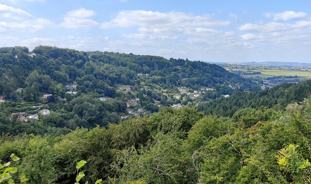
Bicknor is known for its picturesque surroundings, with rolling hills, lush green fields, and charming woodland areas. The village itself is relatively small, with a population of around 200 residents. The community is tight-knit, and the village has a strong sense of community spirit.

Historically, Bicknor was closely associated with the coal mining industry, which was prevalent in the Forest of Dean region. However, the mining industry has declined over the years, and the village has shifted towards a more rural and agricultural economy.

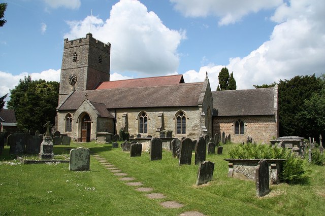
The village features a mix of traditional stone cottages and more modern houses, giving it a unique blend of old and new architecture. There is also a small church, St. James the Great Church, which dates back to the 12th century and adds to the village's historical charm.

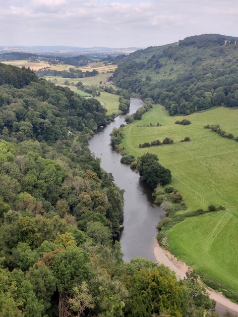
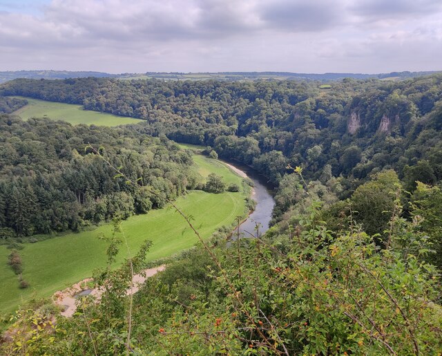
The surrounding area offers plenty of opportunities for outdoor activities, such as hiking, cycling, and exploring the nearby Forest of Dean. Bicknor is also within easy reach of other popular attractions in Gloucestershire, including the Wye Valley and the historic town of Chepstow.

Overall, Bicknor is a tranquil and picturesque village, offering a peaceful retreat for residents and visitors alike.

If you have any feedback on the listing, please let us know in the comments section below.

Bicknor, English Images

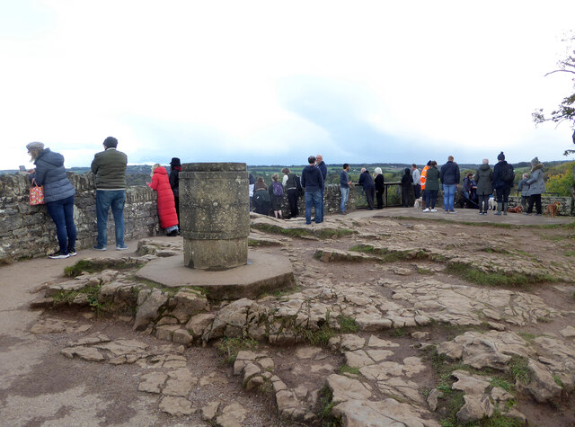
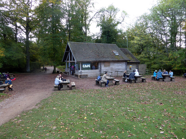
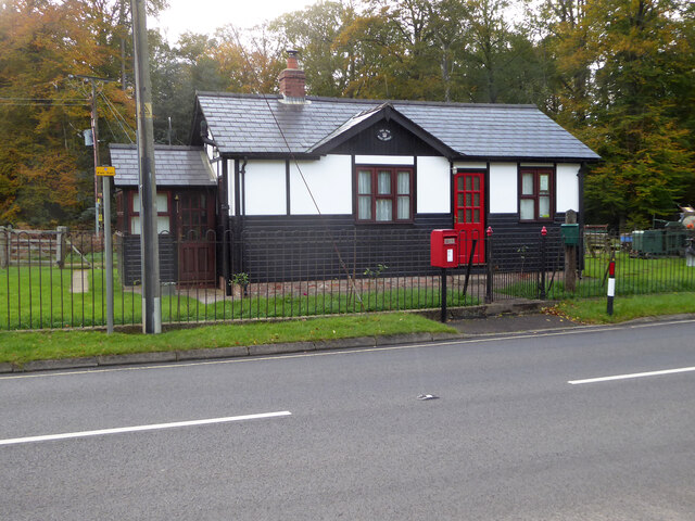
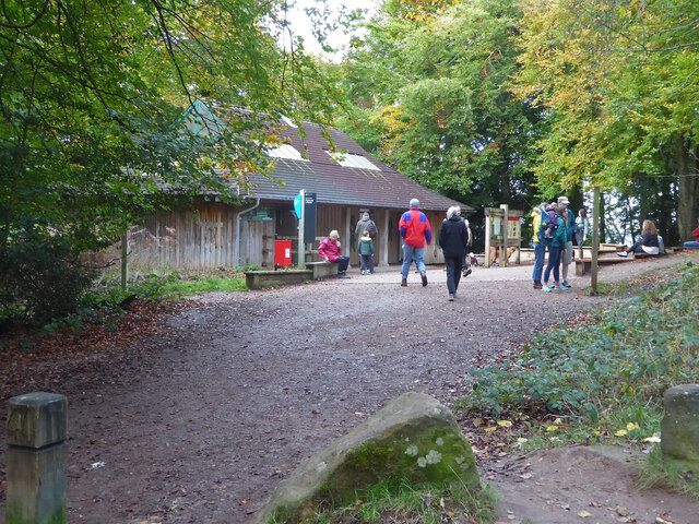
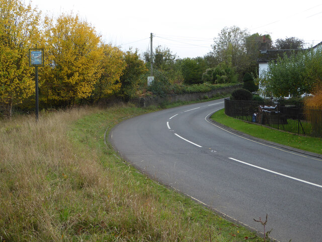
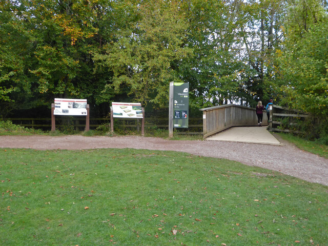
Images are sourced within 2km of 51.832024/-2.6109044 or Grid Reference SO5815. Thanks to Geograph Open Source API. All images are credited.

English Bicknor church English Bicknor church is dedicated to St Mary the Virgin and is Grade I listed, see: <span class="nowrap"><a title="https://historicengland.org.uk/listing/the-list/list-entry/1289658" rel="nofollow ugc noopener" href="https://historicengland.org.uk/listing/the-list/list-entry/1289658">Link</a><img style="margin-left:2px;" alt="External link" title="External link - shift click to open in new window" src="https://s1.geograph.org.uk/img/external.png" width="10" height="10"/></span>
English Bicknor church
English Bicknor church is dedicated to St Mary the Virgin and is Grade I listed, see: LinkExternal link
River Wye viewed from Symonds Yat Rock The River Wye (Welsh: Afon Gwy) is the fifth-longest river in the UK, stretching some 215 kilometres from its source on Plynlimon in mid Wales to the Severn estuary. For much of its length the river forms part of the border between England and Wales. The Wye Valley (lower part) is an Area of Outstanding Natural Beauty. The Wye is important for nature conservation and recreation.
River Wye viewed from Symonds Yat Rock
The River Wye (Welsh: Afon Gwy) is the fifth-longest river in the UK, stretching some 215 kilometres from its source on Plynlimon in mid Wales to the Severn estuary. For much of its length the river forms part of the border between England and Wales. The Wye Valley (lower part) is an Area of Outstanding Natural Beauty. The Wye is important for nature conservation and recreation.
Symonds Yat West viewed from Symonds Yat Rock
Footbridge Near Symonds Yat Rock Viewpoint
Symonds Yat Rock viewpoint A toposcope is in the foreground.
Symonds Yat Rock viewpoint
A toposcope is in the foreground.
The River Wye from Symonds Yat Rock
Symonds Yat Rock Cafe
The Old Post Office, Symonds Yat (East)
Toilets at Symonds Yat Rock car park
Road at Symonds Yat Rock The sign on the left proclaims Symonds Yat Rock with a representation of the view over the River Wye.
Road at Symonds Yat Rock
The sign on the left proclaims Symonds Yat Rock with a representation of the view over the River Wye.
River Wye from the alternative viewpoint There are two viewpoints looking over the River Wye at Symonds Yat Rock and this is billed as the 'alternative viewpoint'. Although also spectacular there are fewer view directions than at the main viewpoint.
River Wye from the alternative viewpoint
There are two viewpoints looking over the River Wye at Symonds Yat Rock and this is billed as the 'alternative viewpoint'. Although also spectacular there are fewer view directions than at the main viewpoint.
View from Symonds Yat Rock Over the River Wye below. The little dots in the fields are cattle. They could be heard lowing noisily.
View from Symonds Yat Rock
Over the River Wye below. The little dots in the fields are cattle. They could be heard lowing noisily.
Path to Symonds Yat Rock viewpoint At this point the path crosses a footbridge over the road
Path to Symonds Yat Rock viewpoint
At this point the path crosses a footbridge over the road
Forest clearing
Forest clearing
Ruined farm building
Path and gate
Path and gate
Ruined barn
Ruined barn
Show me another place!

Bicknor, English is located at Grid Ref: SO5815 (Lat: 51.832024, Lng: -2.6109044)

Administrative County: Gloucestershire

District: Forest of Dean

Police Authority: Gloucestershire

What 3 Words

///toenail.huddled.lifestyle. Near Lydbrook, Gloucestershire

Nearby Locations

Bicknor, English

Related Wikis

Nearby Amenities

Located within 500m of 51.832024,-2.6109044
Bus Stop
Larksfield
Bus: yes
Naptan AtcoCode: 1600GLA06429
Naptan Bearing: S
Naptan CommonName: Larksfield
Naptan Indicator: Opp
Naptan NaptanCode: glogptgw
Naptan Street: Ross Road
Naptan Verified: no
Public Transport: platform
Source: naptan_import
Lat/Long: 51.8361732/-2.6105893
Bus Stop
Smithy Close
Naptan AtcoCode: 1600GLF413
Naptan Bearing: S
Naptan CommonName: Smithy Close
Naptan Indicator: Opp
Naptan NaptanCode: gloadtpt
Naptan Street: Ross Rd
Naptan Verified: no
Source: naptan_import
Lat/Long: 51.8330664/-2.6111147
Bus Stop
Smithy Close
Naptan AtcoCode: 1600GLF414
Naptan Bearing: N
Naptan CommonName: Smithy Close
Naptan NaptanCode: gloadtpj
Naptan Street: Ross Rd
Naptan Verified: no
Source: naptan_import
Lat/Long: 51.8329926/-2.6113386
Source: os_opendata_streetview
Lat/Long: 51.8334671/-2.612107
Power: pole
Lat/Long: 51.8358023/-2.6102617
Power: pole
Lat/Long: 51.8360575/-2.6093819
Post Box
Post Box Type: lamp
Lat/Long: 51.8330386/-2.6111023
Man Made: village_sign
Lat/Long: 51.832899/-2.6113426
Public Bookcase
Booth: K6
Disused Amenity: telephone
Man Made: telephone_box
Public Bookcase Type: phone_box
Lat/Long: 51.8328394/-2.6114264
Bench
Lat/Long: 51.8329674/-2.6113433
Advertising: board
Lat/Long: 51.8330654/-2.6110989
Recycling
Recycling Type: centre
Lat/Long: 51.832598/-2.6113952
Defibrillator
Defibrillator Location: outside English Bicknor Village Hall - facing car park exit
Emergency: defibrillator
Indoor: no
Lat/Long: 51.8325168/-2.6114906
The data included in this document is from www.openstreetmap.org. The data is made available under ODbL.

Have you been to Bicknor, English?

Leave your review of Bicknor, English below (or comments, questions and feedback).