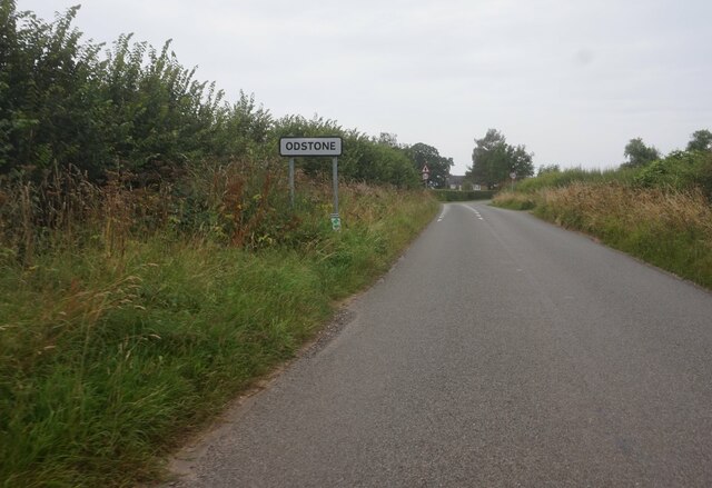
Odstone

Settlement in Leicestershire Hinckley and Bosworth

England

Odstone

Turn Bridge, Ashby Canal Bridge 52 is at the eastern end of Shackerstone village and the red sign advertises the nearby Rising Sun pub. Here the towpath changes side; having been on the western side of the canal from Marston Junction it continues on the eastern side to the end of navigation at Snarestone.
Turn Bridge, Ashby Canal Credit: Stephen McKay

Odstone is a small village located in the county of Leicestershire, in the East Midlands region of England. Situated approximately 12 miles southeast of the city of Leicester, Odstone is nestled in the scenic countryside, surrounded by undulating hills and lush green fields. The village is part of the Harborough district and falls within the civil parish of Billesdon.

With a population of around 300 residents, Odstone exudes a tranquil and rural ambiance. The village is characterized by its charming stone-built cottages, many of which date back to the 18th and 19th centuries. The local St. Michael and All Angels Church, a Grade II listed building, stands proudly at the heart of the community and showcases the architectural heritage of the area.

Despite its small size, Odstone has a strong sense of community spirit. The village hosts various social events throughout the year, including the annual summer fete and Christmas fair, which bring together residents and visitors alike. There is also a village hall that serves as a gathering place for local clubs and societies.

The surrounding countryside offers ample opportunities for outdoor activities, such as walking, cycling, and horse riding. The nearby Billesdon Coplow Nature Reserve, managed by Leicestershire and Rutland Wildlife Trust, provides a haven for wildlife enthusiasts and nature lovers.

In terms of amenities, Odstone has limited facilities. However, the neighboring village of Billesdon, just a short distance away, provides essential services such as shops, a post office, and a primary school.

If you have any feedback on the listing, please let us know in the comments section below.
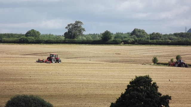
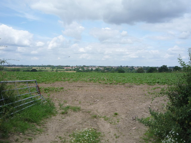
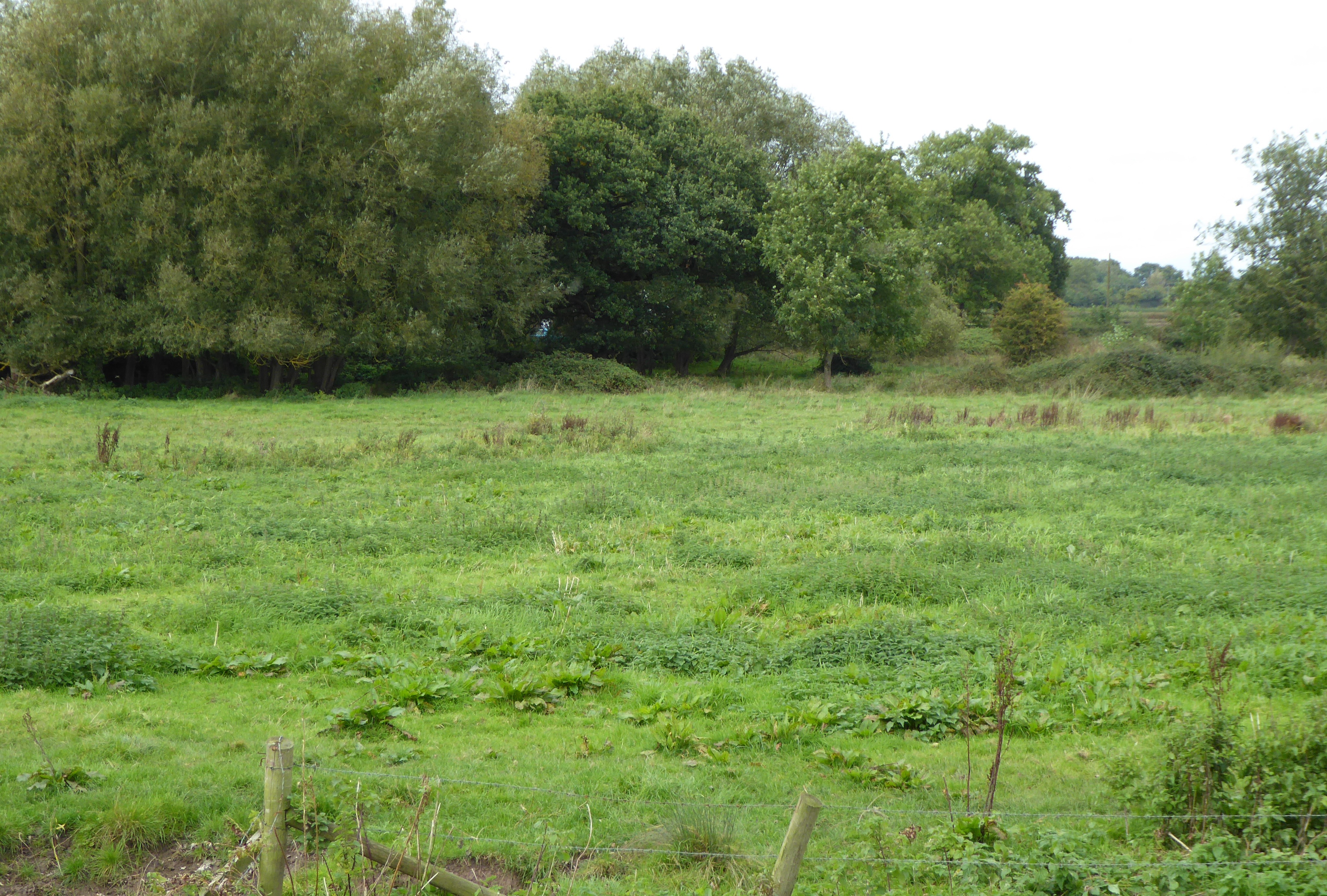
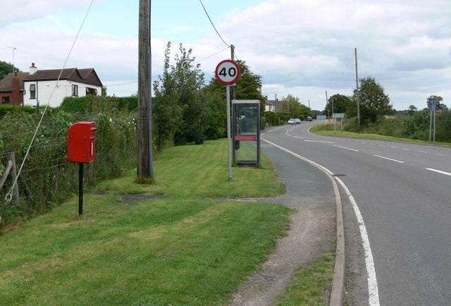
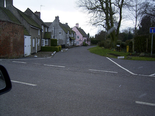
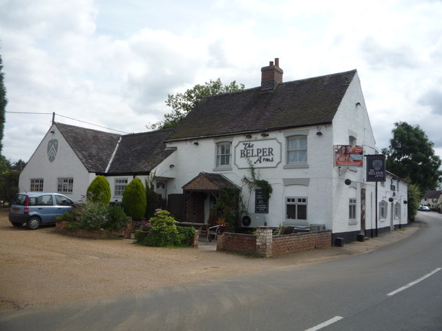
Odstone Images

Images are sourced within 2km of 52.666926/-1.421787 or Grid Reference SK3907. Thanks to Geograph Open Source API. All images are credited.

Turn Bridge, Ashby Canal Bridge 52 is at the eastern end of Shackerstone village and the red sign advertises the nearby Rising Sun pub. Here the towpath changes side; having been on the western side of the canal from Marston Junction it continues on the eastern side to the end of navigation at Snarestone.
Turn Bridge, Ashby Canal
Bridge 52 is at the eastern end of Shackerstone village and the red sign advertises the nearby Rising Sun pub. Here the towpath changes side; having been on the western side of the canal from Marston Junction it continues on the eastern side to the end of navigation at Snarestone.
Town Bridge, Ashby Canal A narrowboat heads through bridge no 53 at the northern end of Shackerstone village. The red and green boat on the left is called, cryptically, 'Just the Same'.
Town Bridge, Ashby Canal
A narrowboat heads through bridge no 53 at the northern end of Shackerstone village. The red and green boat on the left is called, cryptically, 'Just the Same'.
Ashby Canal, Shackerstone An early evening view along the Ashby Canal from Turn Bridge. Wharf Farm is on the left.
Ashby Canal, Shackerstone
An early evening view along the Ashby Canal from Turn Bridge. Wharf Farm is on the left.
Shackerstone Station - footbridge The footbridge at Shackerstone - at the northern end of the Battlefield Line - is actually part of a footpath and does not give access to railway infrastructure.
Shackerstone Station - footbridge
The footbridge at Shackerstone - at the northern end of the Battlefield Line - is actually part of a footpath and does not give access to railway infrastructure.
Shackerstone Railway Station Heritage Battlefield Line Railway.
Shackerstone Railway Station
Heritage Battlefield Line Railway.
Barton In The Beans Baptist Chapel On Main Street.
Barton In The Beans Baptist Chapel
On Main Street.
Carlton Road, Barton in the Beans
Odstone Road, Odstone
Newton Lane towards Newton Burgoland
Public footpath crosses over Newton Lane
Public footpath off Newton Lane
Road sign on Odstone Lane near Burgoland
Shackerstone Station Throat On the heritage Battlefield Line
Shackerstone Station Throat
On the heritage Battlefield Line
Tractors at work on Hollow Farm
Riders on Green Lane, near Barton in the Beans This green lane is an ancient trackway that has been kept from "greening" by being in regular use by farm traffic, walkers and riders.
Riders on Green Lane, near Barton in the Beans
This green lane is an ancient trackway that has been kept from "greening" by being in regular use by farm traffic, walkers and riders.
Crop field off National Cycle Route 63
Footpath off National Cycle Route 63
Show me another place!

Odstone is located at Grid Ref: SK3907 (Lat: 52.666926, Lng: -1.421787)

Administrative County: Leicestershire

District: Hinckley and Bosworth

Police Authority: Leicestershire

What 3 Words

///eliminate.glare.geologist. Near Ibstock, Leicestershire

Nearby Locations

Odstone

Related Wikis

Nearby Amenities

Located within 500m of 52.666926,-1.421787
Odstone
Place: village
Wikidata: Q7078361
Lat/Long: 52.6664479/-1.4200487
Bus Stop
Hall Lane
Bus: yes
Naptan AtcoCode: 260011702
Naptan Bearing: NW
Naptan CommonName: Hall Lane
Naptan Indicator: adjacent
Naptan Landmark: Hall Lane
Naptan NaptanCode: leijdgpj
Naptan Notes: Non-Hourly - County
Naptan Street: Newton Lane
Naptan Verified: no
Public Transport: platform
Source: naptan_import
Lat/Long: 52.6670281/-1.4194777
Hall Lane
Naptan AtcoCode: 260011711
Naptan Bearing: SE
Naptan BusStopType: CUS
Naptan CommonName: Hall Lane
Naptan Indicator: opposite
Naptan Landmark: Hall Lane
Naptan NaptanCode: leijdgtm
Naptan Notes: Non-Hourly - County
Naptan Street: Newton Lane
Naptan Verified: no
Source: naptan_import
Lat/Long: 52.667127/-1.4194763
Barrier: cycle_barrier
Lat/Long: 52.6656633/-1.4221335
Barrier: stile
Lat/Long: 52.6656362/-1.4221713
Barrier: stile
Lat/Long: 52.6676227/-1.4188731
The data included in this document is from www.openstreetmap.org. The data is made available under ODbL.

Have you been to Odstone?

Leave your review of Odstone below (or comments, questions and feedback).