Oakenclough

Settlement in Lancashire Wyre

England

Oakenclough

Thirlmere Aqueduct surveyor's column The column is one of at least two visible in the area that stand above the course of the buried Thirlmere Aqueduct, a 96 mile long watercourse taking water from the lake district to Manchester.
Thirlmere Aqueduct surveyor's column Credit: David Robinson

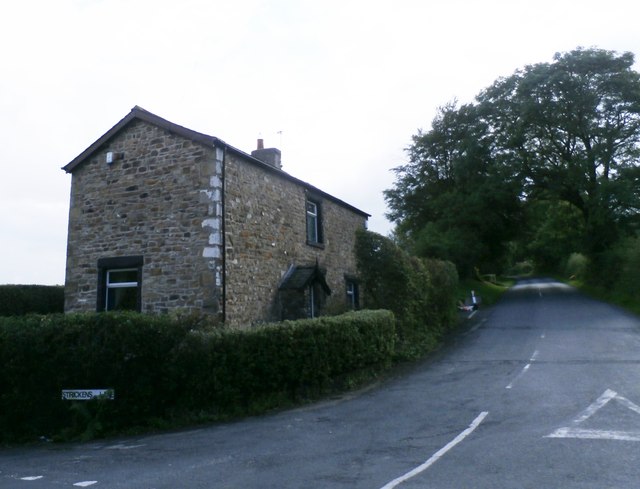
Oakenclough is a small village located in the county of Lancashire, England. Situated in the Forest of Bowland, it is surrounded by picturesque landscapes and rolling hills, offering residents and visitors a tranquil and scenic environment.

The village itself is relatively small, with a population of around 300 people. It is characterized by a close-knit community, where residents often engage in various social activities and events. Oakenclough has a strong sense of community spirit, with residents actively involved in local initiatives and organizations.

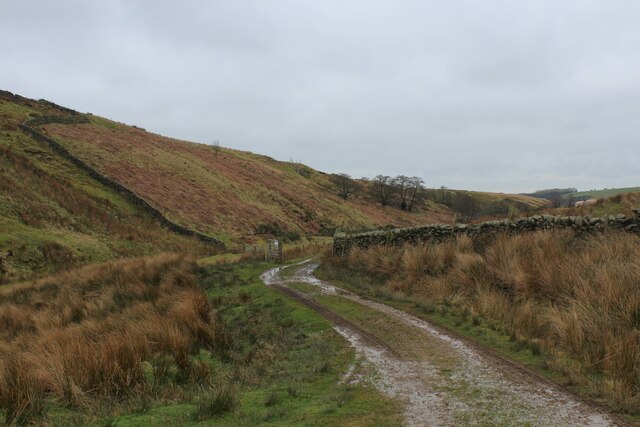
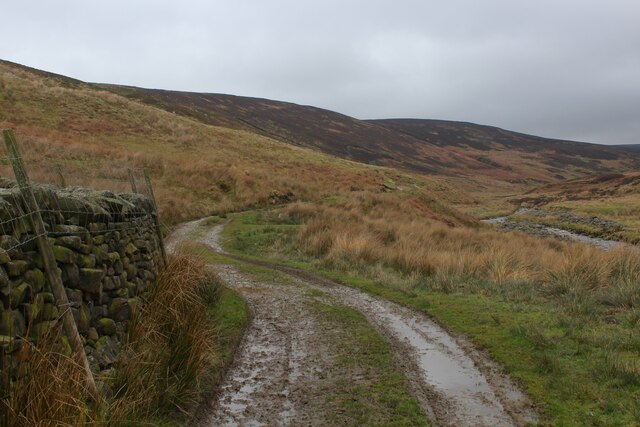
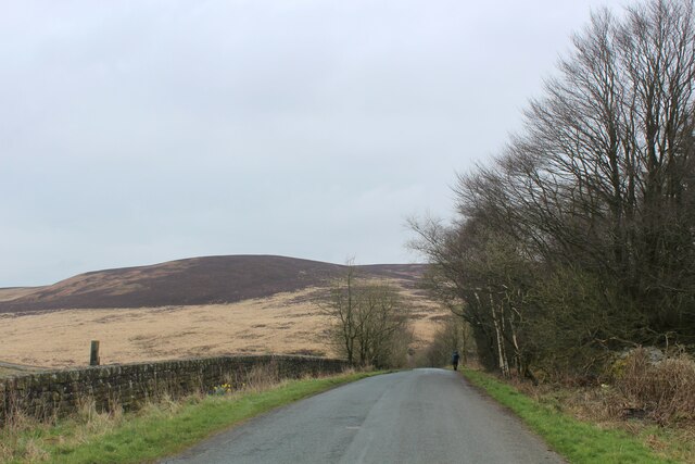
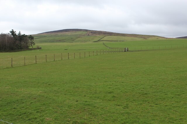
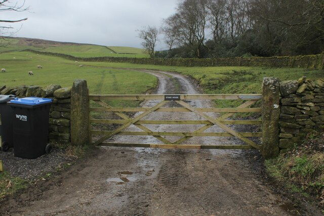
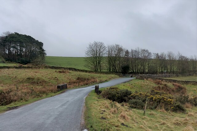
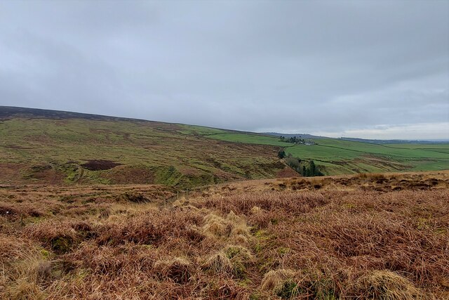
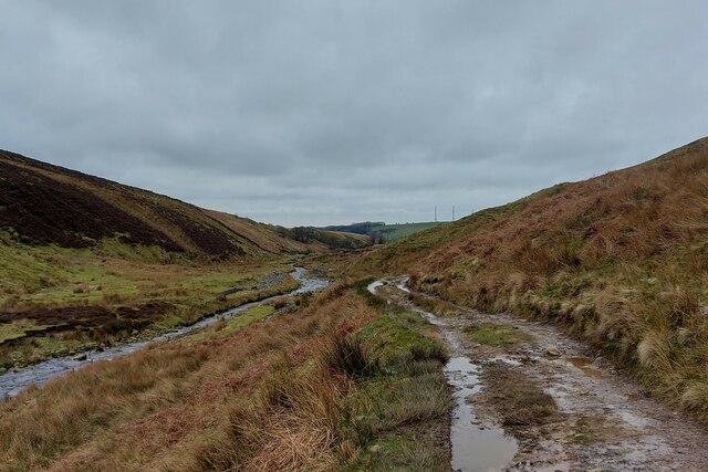
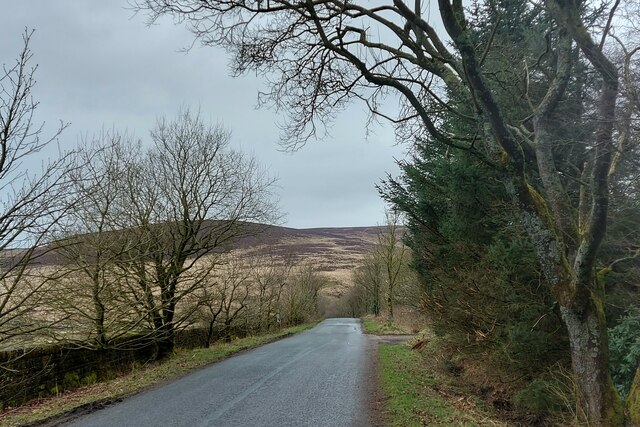
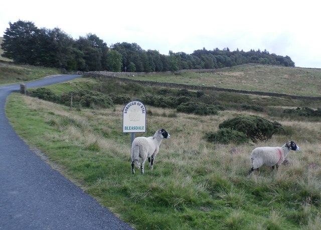
One of the notable features of Oakenclough is its beautiful natural surroundings. The village is surrounded by lush green fields and dense woodlands, making it a popular destination for outdoor enthusiasts. There are numerous walking and cycling trails in the area, providing opportunities for exploration and enjoying the stunning countryside.

Despite its rural location, Oakenclough is relatively well-connected. The nearby city of Lancaster is approximately 10 miles away, offering a range of amenities and services. Additionally, the village of Oakenclough is within close proximity to major road networks, making it easily accessible by car.

In terms of amenities, Oakenclough has a village hall which serves as a hub for various community activities and events. There are also a few small businesses and shops, providing essential services to the local population.

Overall, Oakenclough offers a peaceful and idyllic lifestyle, with its stunning natural surroundings and tight-knit community making it an attractive place to live or visit.

If you have any feedback on the listing, please let us know in the comments section below.
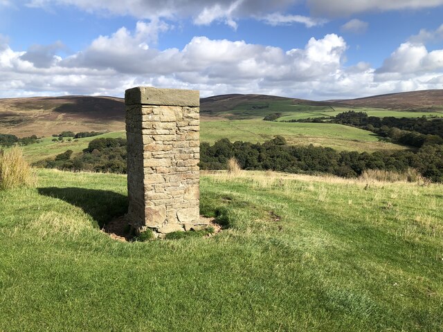
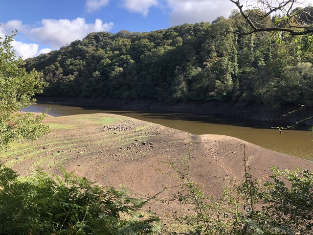
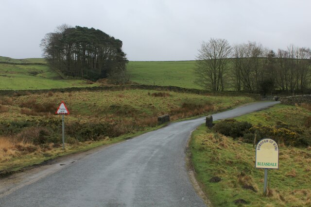
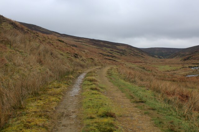
Oakenclough Images

Images are sourced within 2km of 53.921666/-2.703456 or Grid Reference SD5347. Thanks to Geograph Open Source API. All images are credited.

Thirlmere Aqueduct surveyor's column The column is one of at least two visible in the area that stand above the course of the buried Thirlmere Aqueduct, a 96 mile long watercourse taking water from the lake district to Manchester.
Thirlmere Aqueduct surveyor's column
The column is one of at least two visible in the area that stand above the course of the buried Thirlmere Aqueduct, a 96 mile long watercourse taking water from the lake district to Manchester.
Very low water in Grizedale Reservoir A marked low level of water in Grizedale Reservoir following the dry summer of 2022.
Very low water in Grizedale Reservoir
A marked low level of water in Grizedale Reservoir following the dry summer of 2022.
Approaching Grizedale Bridge Approaching the bridge over Grizedale Brook from the north, over the shoulder of Harrisend Fell
Approaching Grizedale Bridge
Approaching the bridge over Grizedale Brook from the north, over the shoulder of Harrisend Fell
Access Track beside the River Calder Track leading from the curious shooting hut marked on the definitive map as "Arbour"
Access Track beside the River Calder
Track leading from the curious shooting hut marked on the definitive map as "Arbour"
River Calder
River Calder
Access Track heading towards Arbour The track follows the River Calder upstream to the shooting lodge of Arbour - just over half a mile away.
Access Track heading towards Arbour
The track follows the River Calder upstream to the shooting lodge of Arbour - just over half a mile away.
The Problem with the Access Track from Arbour On reaching the gate the track passes out of Open Access land, and anyone passing beyond is guilty of trespass.
The problem is this. The track beyond the gate is a nice easy walk on a firm surface to the road at Grizedale Lea Reservoir. The alternative and correct route is a nasty difficult climb to Grizedale Intake over tussocky and exhausting moor that keeps within Open Access territory, and then following Grizedale Brook over soggy marsh to the road.
The notice on the gate is barely legible - but one can make out the words "No Access"
The Problem with the Access Track from Arbour
On reaching the gate the track passes out of Open Access land, and anyone passing beyond is guilty of trespass. The problem is this. The track beyond the gate is a nice easy walk on a firm surface to the road at Grizedale Lea Reservoir. The alternative and correct route is a nasty difficult climb to Grizedale Intake over tussocky and exhausting moor that keeps within Open Access territory, and then following Grizedale Brook over soggy marsh to the road. The notice on the gate is barely legible - but one can make out the words "No Access"
Access Track beside the River Calder heading towards Arbour
Road descending towards Grizedale Bridge Passing a small stand of woodland on the descent to Grizedale Bridge, with Harrisend Fell visible in the distance
Road descending towards Grizedale Bridge
Passing a small stand of woodland on the descent to Grizedale Bridge, with Harrisend Fell visible in the distance
Pastures opposite Grizedale Lea Reservoir
Access to Stake House
Road to Oakenclough about to cross Grizedale Bridge The edge of the Howgill Fells rising to the left
Road to Oakenclough about to cross Grizedale Bridge
The edge of the Howgill Fells rising to the left
Looking south over the valley of Grizedale Brook Stake House farm on the opposite hillside
Looking south over the valley of Grizedale Brook
Stake House farm on the opposite hillside
The River Calder at the foot of Calder Fell
Track following the River Calder out of the area of open access land This track continues to the tarred road to Oakenclough, but the boundary of the open access land is about ¾ mile short of the road. A legal route to the road would require us to climb out of this valley and struggle over 1 ½ miles of moorland to Grizedale Bridge. You must be joking!
Track following the River Calder out of the area of open access land
This track continues to the tarred road to Oakenclough, but the boundary of the open access land is about ¾ mile short of the road. A legal route to the road would require us to climb out of this valley and struggle over 1 ½ miles of moorland to Grizedale Bridge. You must be joking!
Road north from Oakenclough along the edge of the Bowland Fells The road runs close to the line of the former Roman road from Ribchester to Lancaster.
Road north from Oakenclough along the edge of the Bowland Fells
The road runs close to the line of the former Roman road from Ribchester to Lancaster.
Rough Pasture at Grizedale Bridge
Cottage on Strickens Lane - Oakenclough
Show me another place!

Oakenclough is located at Grid Ref: SD5347 (Lat: 53.921666, Lng: -2.703456)

Administrative County: Lancashire

District: Wyre

Police Authority: Lancashire

What 3 Words

///clerics.coast.gobblers. Near Garstang, Lancashire

Related Wikis

Oakenclough

Oakenclough () is an English hamlet located on the edge of the Forest of Bowland in Lancashire. Oakenclough is a small and scattered community, which appears...

Calder Vale

Calder Vale is an English village, located on the edge of the Forest of Bowland in Lancashire. It lies on the River Calder in a deep valley with only...

Barnacre-with-Bonds

Barnacre-with-Bonds is a civil parish in the Wyre district of Lancashire, England. According to the 2001 census it had a population of 1,751 increasing...

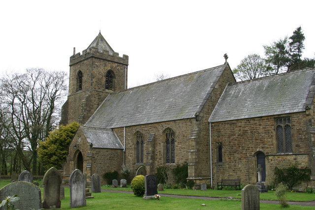
All Saints Church, Barnacre

All Saints Church is in Delph Lane, Barnacre-with-Bonds, Lancashire, England. It is an active Anglican parish church in the deanery of Garstang, the archdeaconry...

Nearby Amenities

Located within 500m of 53.921666,-2.703456
Oakenclough
Is In: Wyre, Lancashire
Place: hamlet
Source: npe
Wikidata: Q7073831
Lat/Long: 53.9234395/-2.7051049
Generator Method: photovoltaic
Generator Orientation: south
Generator Output Electricity: yes
Generator Solar Modules: 208
Generator Source: solar
Generator Type: solar_photovoltaic_panel
Location: roof
Power: generator
Lat/Long: 53.922693/-2.7051716
Man Made: chimney
Material: brick
Lat/Long: 53.923298/-2.7062957
Barrier: stile
Stile: stepover
Lat/Long: 53.9236249/-2.7081068
Barrier: stile
Stile: stepover
Lat/Long: 53.9239302/-2.7083364
Information: guidepost
Tourism: information
Lat/Long: 53.9236069/-2.7081186
Give Way
Direction: forward
Lat/Long: 53.9223599/-2.7077428
The data included in this document is from www.openstreetmap.org. The data is made available under ODbL.

Have you been to Oakenclough?

Leave your review of Oakenclough below (or comments, questions and feedback).