Oaken

Settlement in Staffordshire South Staffordshire

England

Oaken

Codsall Mill The tower mill has been incorporated into Millfield House. Originally an 18th century mill with four sails, boat cap, weathervane and tailpole. Had ceased use by the 1880s.
Codsall Mill Credit: John M

Oaken is a small village located in the county of Staffordshire, England. Situated in the heart of the West Midlands, Oaken is nestled amidst the picturesque countryside, offering residents and visitors a tranquil and scenic environment.

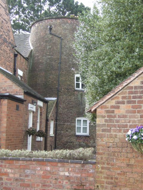
With a population of around 500 residents, Oaken exudes a strong sense of community and charm. The village is known for its traditional architecture, with many of the buildings dating back several centuries. The village center is dominated by a quaint church, which serves as a focal point for religious and community activities.

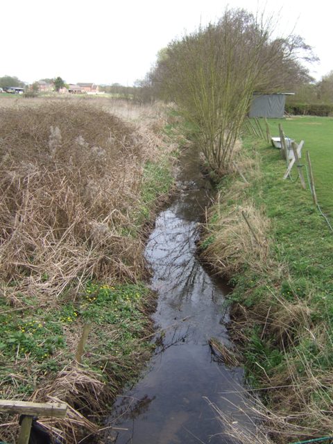
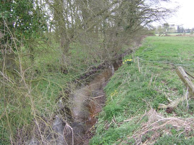
Surrounded by lush green fields and rolling hills, Oaken is a haven for nature enthusiasts. The area is home to several walking trails and nature reserves, providing ample opportunities for outdoor recreation and exploration. Additionally, the village is in close proximity to Cannock Chase, an Area of Outstanding Natural Beauty, renowned for its heathland, woodlands, and diverse wildlife.

Despite its rural setting, Oaken benefits from good transport links, making it easily accessible by road and rail. The village is conveniently located near the A5 and A449, providing connections to nearby towns and cities. The nearest railway station is Codsall, which is approximately 3 miles away and offers regular services to Birmingham, Wolverhampton, and beyond.

Oaken offers a range of amenities to cater to the needs of its residents. The village is home to a primary school, a village hall, and a local pub, which serves as a social hub. For shopping and leisure activities, nearby towns such as Wolverhampton and Stafford provide a wider range of services and attractions.

Overall, Oaken presents an idyllic countryside retreat, combining natural beauty, community spirit, and convenient access to urban amenities.

If you have any feedback on the listing, please let us know in the comments section below.
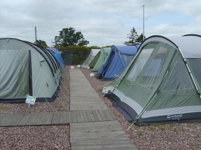
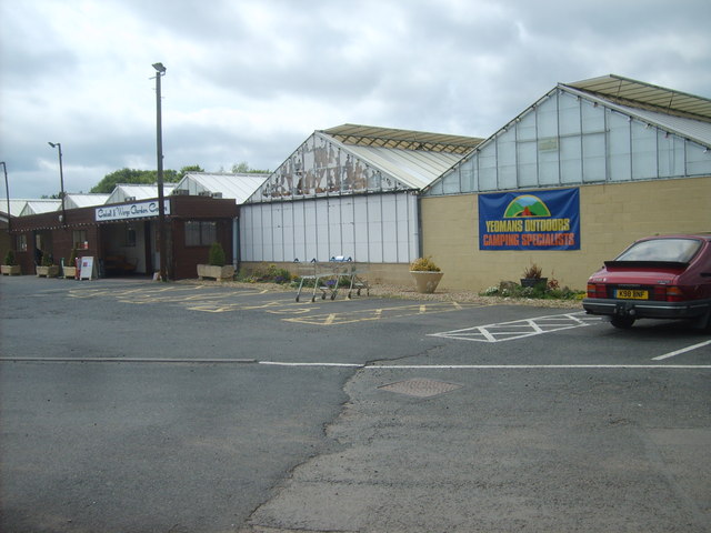
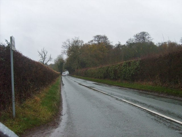
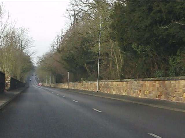
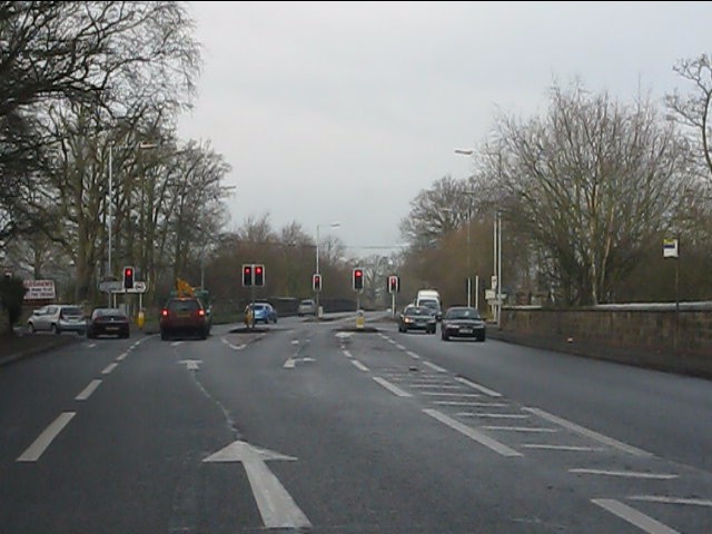
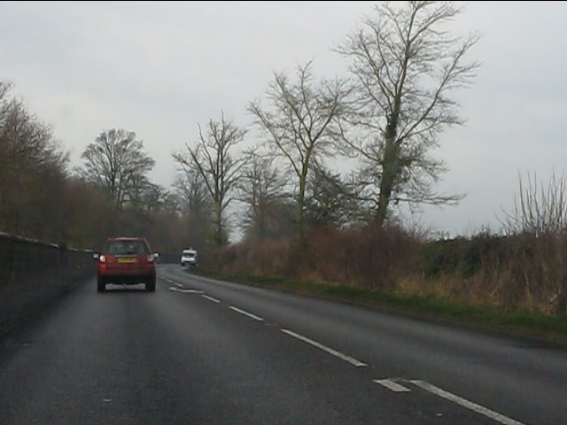
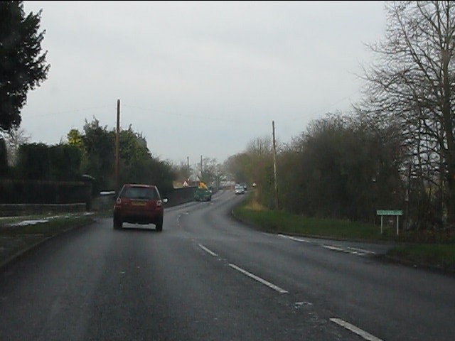
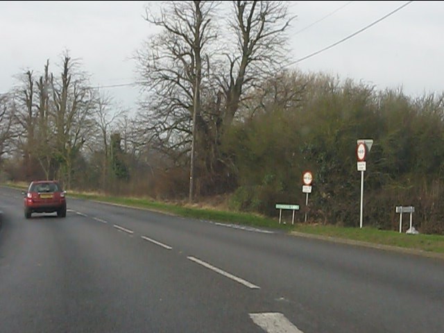
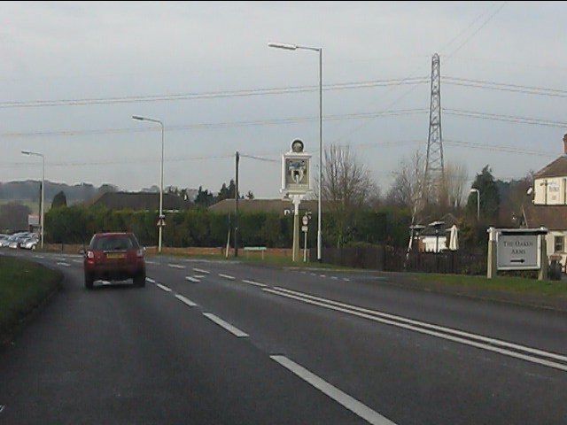
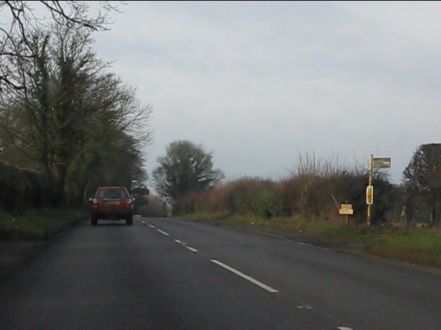
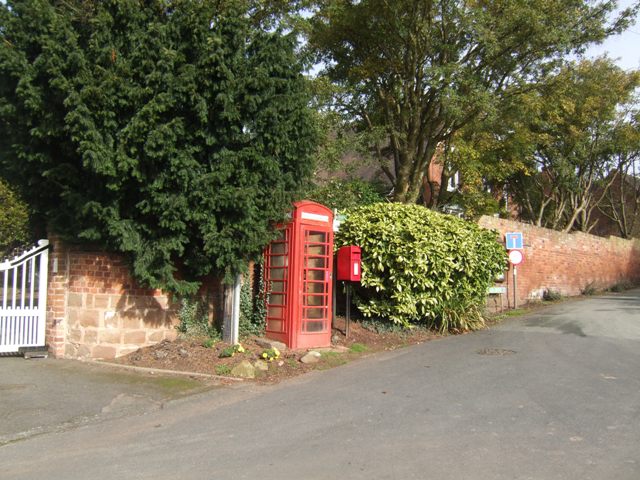
Oaken Images

Images are sourced within 2km of 52.622473/-2.214607 or Grid Reference SJ8502. Thanks to Geograph Open Source API. All images are credited.

Codsall Mill The tower mill has been incorporated into Millfield House. Originally an 18th century mill with four sails, boat cap, weathervane and tailpole. Had ceased use by the 1880s.
Codsall Mill
The tower mill has been incorporated into Millfield House. Originally an 18th century mill with four sails, boat cap, weathervane and tailpole. Had ceased use by the 1880s.
Moat Brook downstream of Codsall footbridge The Moat Brook flows around the north side of Codsall and is a tributary of the River Penk.
Moat Brook downstream of Codsall footbridge
The Moat Brook flows around the north side of Codsall and is a tributary of the River Penk.
Moat Brook upstream of  Codsall footbridge The Moat Brook flows around the north side of Codsall and is a tributary of the River Penk.
Moat Brook upstream of Codsall footbridge
The Moat Brook flows around the north side of Codsall and is a tributary of the River Penk.
Sewer Vent Pipe Victorian stench pipe in Mill Lane.
Sewer Vent Pipe
Victorian stench pipe in Mill Lane.
Tents for Sale The view in Codsall and Wergs Garden Centre.
Tents for Sale
The view in Codsall and Wergs Garden Centre.
Codsall and Wergs Garden Centre.
Garden Figures The view in Codsall and Wergs Garden Centre.
Garden Figures
The view in Codsall and Wergs Garden Centre.
Rainy Wergs Hall Lane The view down the Codsall to Wergs Lane.
Rainy Wergs Hall Lane
The view down the Codsall to Wergs Lane.
A41 running straight in Staffordshire The old London-Birkenhead road has just passed from West Midlands county into Staffordshire.
A41 running straight in Staffordshire
The old London-Birkenhead road has just passed from West Midlands county into Staffordshire.
A41 - Wrottesley Park traffic lights
On the Holyhead Road The A41 out in open country, having left the West Midlands conurbation behind at Wergs.
On the Holyhead Road
The A41 out in open country, having left the West Midlands conurbation behind at Wergs.
A41 at Stafford Lane junction
A41 at Middle Lane junction
A41 at Oaken
A41 at Oaken
A41/A461 junction, Oaken The historic bases of both routes is easily discernible.  The A461 is named Holyhead Road, the A41 Newport Road.
A41/A461 junction, Oaken
The historic bases of both routes is easily discernible. The A461 is named Holyhead Road, the A41 Newport Road.
Newport Road (A41) from the traffic lights
A41 at the footpath to Kingswood Common
Phone and post boxes in Oaken
Show me another place!

Oaken is located at Grid Ref: SJ8502 (Lat: 52.622473, Lng: -2.214607)

Administrative County: Staffordshire

District: South Staffordshire

Police Authority: Staffordshire

What 3 Words

///handy.rams.match. Near Codsall, Staffordshire

Nearby Locations

Oaken

Related Wikis

Oaken

Oaken is a small village in Staffordshire, England. The first mention of the Oaken place-name was in 1086 when it was listed in the Domesday book as Ache...

Codsall railway station

Codsall railway station serves the village of Codsall in Staffordshire, England. == History == The original listed GWR footbridge, between the two platforms...
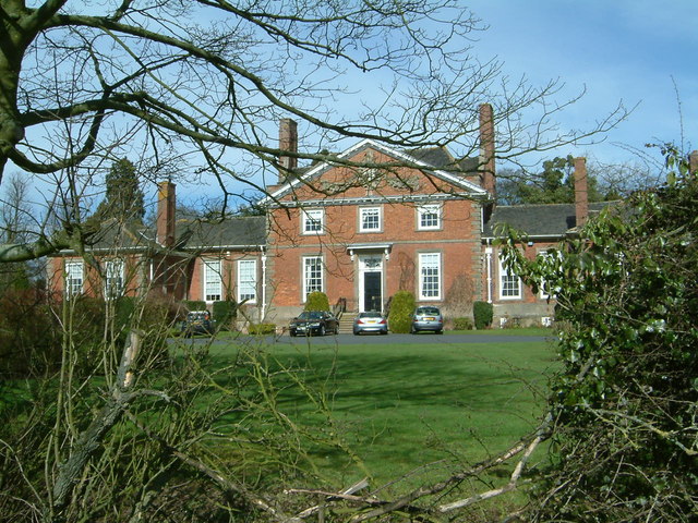
Wrottesley Hall

Wrottesley Hall is a 1923-built Grade II listed house in the civil parish of Perton, and historically part of Tettenhall in Staffordshire, England. The...

Codsall

Codsall is a large village in the South Staffordshire district of Staffordshire, England. It is situated 5 miles northwest of Wolverhampton and 13 miles...

Nearby Amenities

Located within 500m of 52.622473,-2.214607
Barrier: stile
Source: survey
Lat/Long: 52.6266103/-2.2117229
Barrier: stile
Source: survey
Lat/Long: 52.6252112/-2.2116345
Barrier: kissing_gate
Source: survey
Lat/Long: 52.6249163/-2.2112273
Oaken
Created By: Potlatch 0.10f
Is In: Staffordshire
Place: hamlet
Lat/Long: 52.6228568/-2.2113628
Bus Stop
Hollybush Lane
Bus: yes
Naptan AtcoCode: 3800C613200
Naptan Bearing: SE
Naptan CommonName: Hollybush Lane
Naptan Indicator: Adj
Naptan Landmark: Hollybush Lane
Naptan Street: Oaken Lane
Naptan Verified: no
Public Transport: platform
Source: naptan_import
Lat/Long: 52.6217403/-2.2101618
Shop Lane
Naptan AtcoCode: 3800C613201
Naptan Bearing: NW
Naptan BusStopType: CUS
Naptan CommonName: Shop Lane
Naptan Indicator: Adj
Naptan Landmark: Shop Lane
Naptan Street: Oaken Lane
Naptan Verified: no
Source: naptan_import
Lat/Long: 52.6217132/-2.2102503
Barrier: stile
Lat/Long: 52.6188905/-2.2170804
Power: substation
Source: visual survey;estimate
Lat/Long: 52.6220863/-2.2110489
Post Box
Post Box Type: lamp
Ref: WV8 197
Source: GPS Survey
Lat/Long: 52.6222764/-2.2107631
Telephone
Booth: K6
Covered: booth
Operator: BT
Phone: +44 1902 843790
Source: survey
Lat/Long: 52.6223147/-2.2107634
Barrier: kissing_gate
Source: survey
Lat/Long: 52.6237672/-2.208195
Bench
Source: survey
Lat/Long: 52.6239845/-2.2081682
Grit Bin
Source: survey
Lat/Long: 52.6235699/-2.212153
Barrier: kissing_gate
Source: survey
Lat/Long: 52.6241176/-2.2114396
Barrier: stile
Source: survey
Lat/Long: 52.6246432/-2.2166264
Social Facility
Hunters Lodge
Social Facility: nursing_home
Social Facility For: senior
Lat/Long: 52.6227612/-2.2079731
Bus Stop
Middle Lane
Bus: yes
Naptan AtcoCode: 3800C626701
Naptan Verified: no
Public Transport: platform
Source: naptan
Lat/Long: 52.6195802/-2.2189502
The data included in this document is from www.openstreetmap.org. The data is made available under ODbL.

Have you been to Oaken?

Leave your review of Oaken below (or comments, questions and feedback).