Nuppend

Settlement in Gloucestershire Forest of Dean

England

Nuppend

Footpath beside Cone Brook
Footpath beside Cone Brook Credit: JThomas

Nuppend is a small village located in the county of Gloucestershire, England. Situated in the Cotswolds, Nuppend is surrounded by picturesque countryside, offering residents and visitors a peaceful and idyllic setting. The village is part of the Forest of Dean district and lies approximately 10 miles northeast of the town of Coleford.

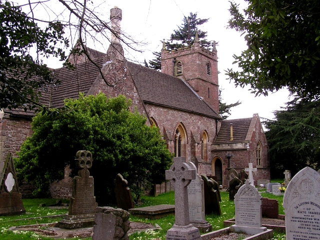
Nuppend is known for its rich history, dating back to medieval times. The village features several historic buildings, including St. Bartholomew's Church, which dates back to the 12th century. The church is a prominent landmark in Nuppend and serves as a gathering place for the local community.

The village itself is relatively small, with a population of around 300 residents. It offers a close-knit and friendly community atmosphere, where neighbors often know each other well. The village is primarily residential, with a mix of traditional stone cottages and more modern houses.

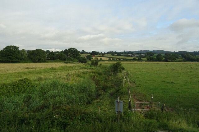
Nuppend is surrounded by beautiful countryside, making it an ideal location for outdoor enthusiasts. The area offers ample opportunities for walking, hiking, and cycling, with numerous trails and paths crisscrossing the nearby woodlands and fields. The nearby Forest of Dean is a popular destination for nature lovers, with its ancient woodland, wildlife, and stunning landscapes.

Although Nuppend is a small village, it benefits from its proximity to larger towns such as Coleford and Gloucester, which provide residents with access to a wider range of amenities and services.

If you have any feedback on the listing, please let us know in the comments section below.
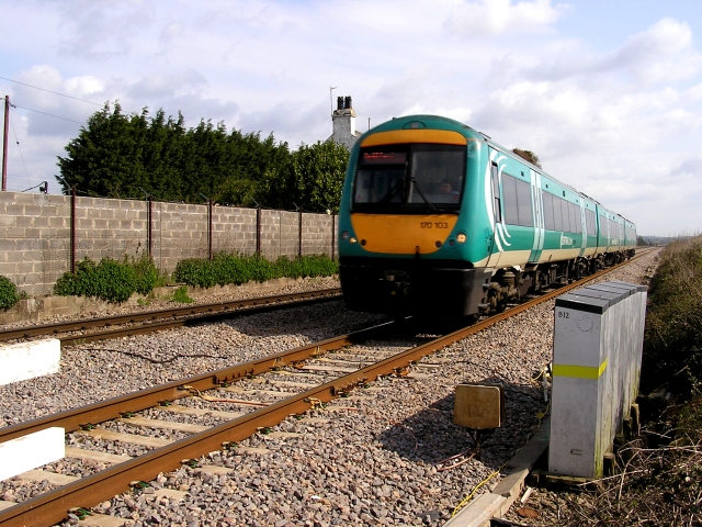
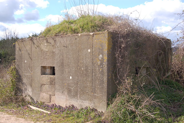
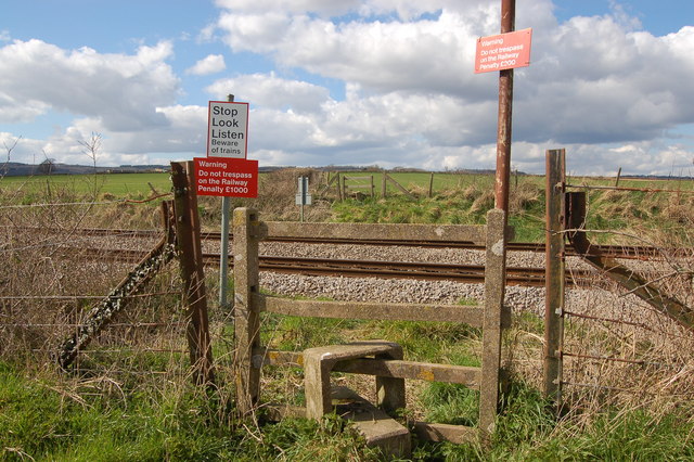
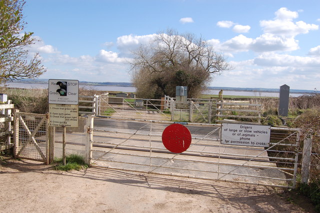
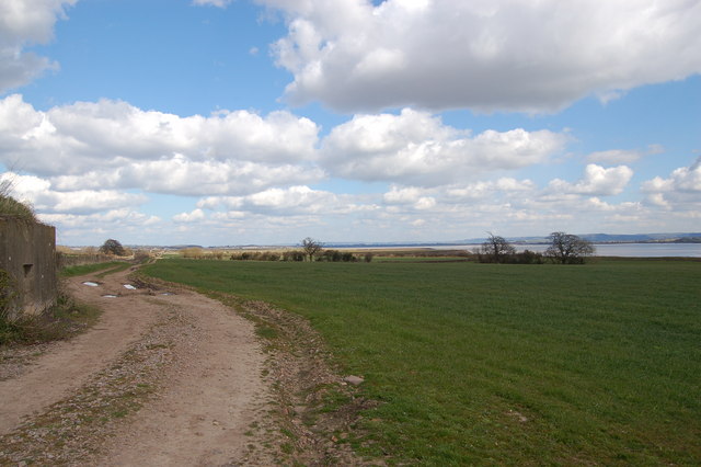
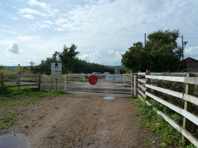
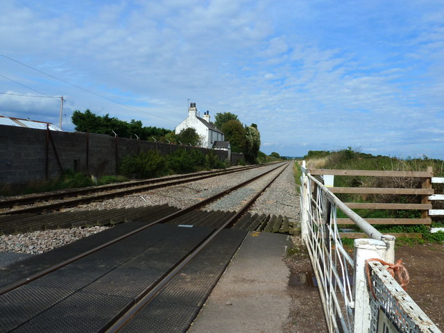
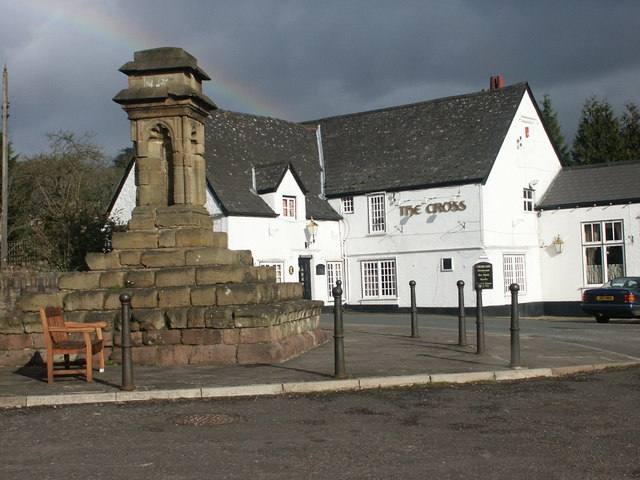
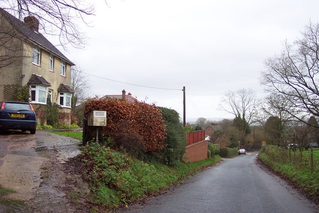
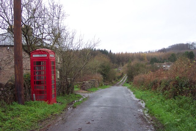
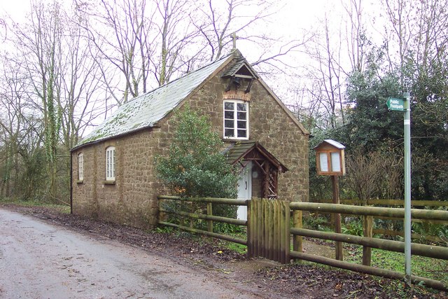
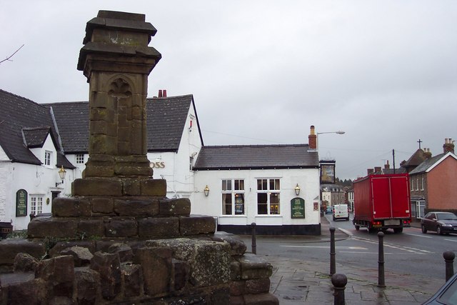
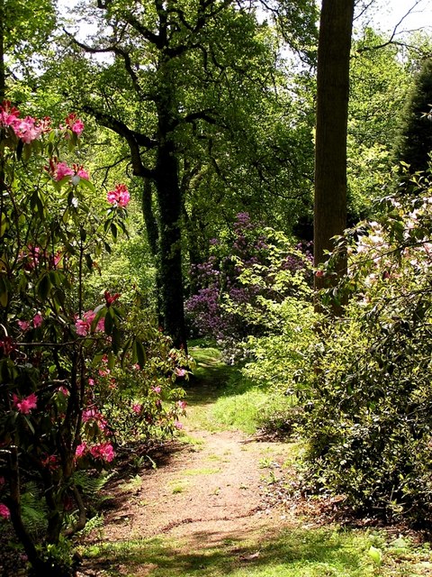
Nuppend Images

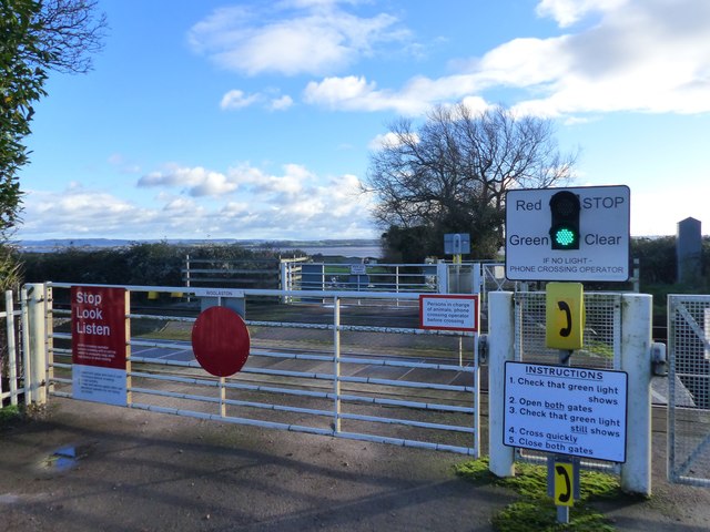
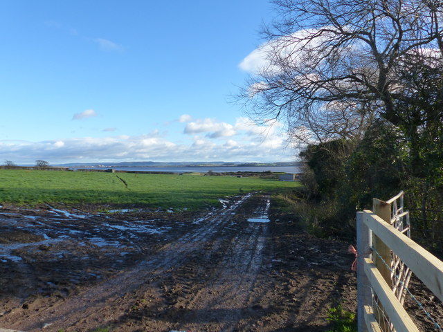
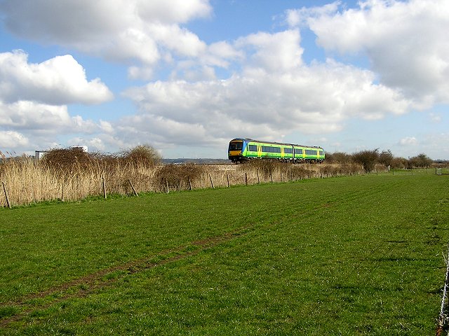
Images are sourced within 2km of 51.706303/-2.5802653 or Grid Reference SO6001. Thanks to Geograph Open Source API. All images are credited.

Footpath beside Cone Brook
Flood Bank Despite all the flotsam washed up against it, it's hard to imagine the Severn flooding to this extent.
Flood Bank
Despite all the flotsam washed up against it, it's hard to imagine the Severn flooding to this extent.
Gloucester to Chepstow Railway Line This square is mostly flat farmland by the Severn with a railway running through it. There used to be a station here, nr Alvington but I've yet to get the identity of it.
Gloucester to Chepstow Railway Line
This square is mostly flat farmland by the Severn with a railway running through it. There used to be a station here, nr Alvington but I've yet to get the identity of it.
Pillbox near Plusterwine on river Severn This is the middle pillbox in a line of three along the Gloucester-Chepstow railway line near the level crossing south-east of Plusterwine. All three pillboxes are pre-fabricated type 26s built in 1940. The railway at this point is only a few hundred yards from the river Severn. The entrances to the pillboxes indicate that the would-be attacker was approaching from across the river Severn. A number of anti-tank vertical rails remain in the hedgerow bordering the railway line on its eastern flank.
Pillbox near Plusterwine on river Severn
This is the middle pillbox in a line of three along the Gloucester-Chepstow railway line near the level crossing south-east of Plusterwine. All three pillboxes are pre-fabricated type 26s built in 1940. The railway at this point is only a few hundred yards from the river Severn. The entrances to the pillboxes indicate that the would-be attacker was approaching from across the river Severn. A number of anti-tank vertical rails remain in the hedgerow bordering the railway line on its eastern flank.
Pedestrian railway crossing near Plusterwine This is a view looking north-west over the Gloucester-Chepstow railway line near Plusterwine in a location close to the river Severn. The railway boundary fence in the foreground (nearest the river) incorporates a number of WW2 anti-tank vertical rails but a gap here permitted access for the footpath.
Pedestrian railway crossing near Plusterwine
This is a view looking north-west over the Gloucester-Chepstow railway line near Plusterwine in a location close to the river Severn. The railway boundary fence in the foreground (nearest the river) incorporates a number of WW2 anti-tank vertical rails but a gap here permitted access for the footpath.
Woolaston level crossing This unmanned level crossing is to be found on the Gloucester-Chepstow line. The view here is to the south-east with the river Severn in the background.
Woolaston level crossing
This unmanned level crossing is to be found on the Gloucester-Chepstow line. The view here is to the south-east with the river Severn in the background.
The flood plain of the river Severn near Plusterwine View looks north-east towards Lydney with the Gloucester-Chepstow railway line in the top left. Berkeley nuclear power station is just visible on the far bank of the Severn. A WW2 pillbox adjoining the railway line commands the fields on this stretch of the river.
The flood plain of the river Severn near Plusterwine
View looks north-east towards Lydney with the Gloucester-Chepstow railway line in the top left. Berkeley nuclear power station is just visible on the far bank of the Severn. A WW2 pillbox adjoining the railway line commands the fields on this stretch of the river.
Woolaston level crossing from the far side
The railway line at Woolaston level crossing
Clear instructions at Woolaston Level Crossing This is a user-operated gate for both farm vehicles and pedestrians.  The road ends at the crossing.
Clear instructions at Woolaston Level Crossing
This is a user-operated gate for both farm vehicles and pedestrians. The road ends at the crossing.
Farm track, field boundary, and a view of the River Severn, Woolaston
Gloucester to Chepstow Railway Line This square is basically flat farmland with a railway running through it.
Gloucester to Chepstow Railway Line
This square is basically flat farmland with a railway running through it.
Alvington Church Built using local red sandstone.
Alvington Church
Built using local red sandstone.
Aylburton Cross. The cross dates from the 14th century, and used as a preaching cross by travelling Friars to preach to the public.
The cross was repaired in 1841, and moved in the early 1960s in order to widen the A48, Chepstow to Lydney road.
Aylburton Cross.
The cross dates from the 14th century, and used as a preaching cross by travelling Friars to preach to the public. The cross was repaired in 1841, and moved in the early 1960s in order to widen the A48, Chepstow to Lydney road.
Approaching Aylburton village from the north.
Telephone box and lane near Aylburton Common. The track ahead leads to Pool Farm.
Telephone box and lane near Aylburton Common.
The track ahead leads to Pool Farm.
Aylburton Common Mission Church Built in 1867 this small building is still functioning as a place of worship.
Aylburton Common Mission Church
Built in 1867 this small building is still functioning as a place of worship.
The Cross and Cross public house. Beside the busy A 48 at Aylburton.
The Cross and Cross public house.
Beside the busy A 48 at Aylburton.
Show me another place!

Nuppend is located at Grid Ref: SO6001 (Lat: 51.706303, Lng: -2.5802653)

Administrative County: Gloucestershire

District: Forest of Dean

Police Authority: Gloucestershire

What 3 Words

///eyeliner.microfilm.pens. Near Lydney, Gloucestershire

Related Wikis

Alvington, Gloucestershire

Alvington is a village and civil parish in the Forest of Dean in Gloucestershire, England, situated on the A48 road, six miles north-east of Chepstow in...

Woolaston

Woolaston is a village and civil parish in the Forest of Dean district of Gloucestershire in South West England. It lies on the north side of the Severn...

Aylburton

Aylburton is a village and civil parish in the Forest of Dean district of Gloucestershire, England, on the A48 road about two miles south-west of Lydney...

Lydney Park

Lydney Park is a 17th-century country estate surrounding Lydney House, located at Lydney in the Forest of Dean district in Gloucestershire, England. It...

Hewelsfield

Hewelsfield is a village in Hewelsfield and Brockweir civil parish, in the Forest of Dean district of Gloucestershire, England. The village is located...
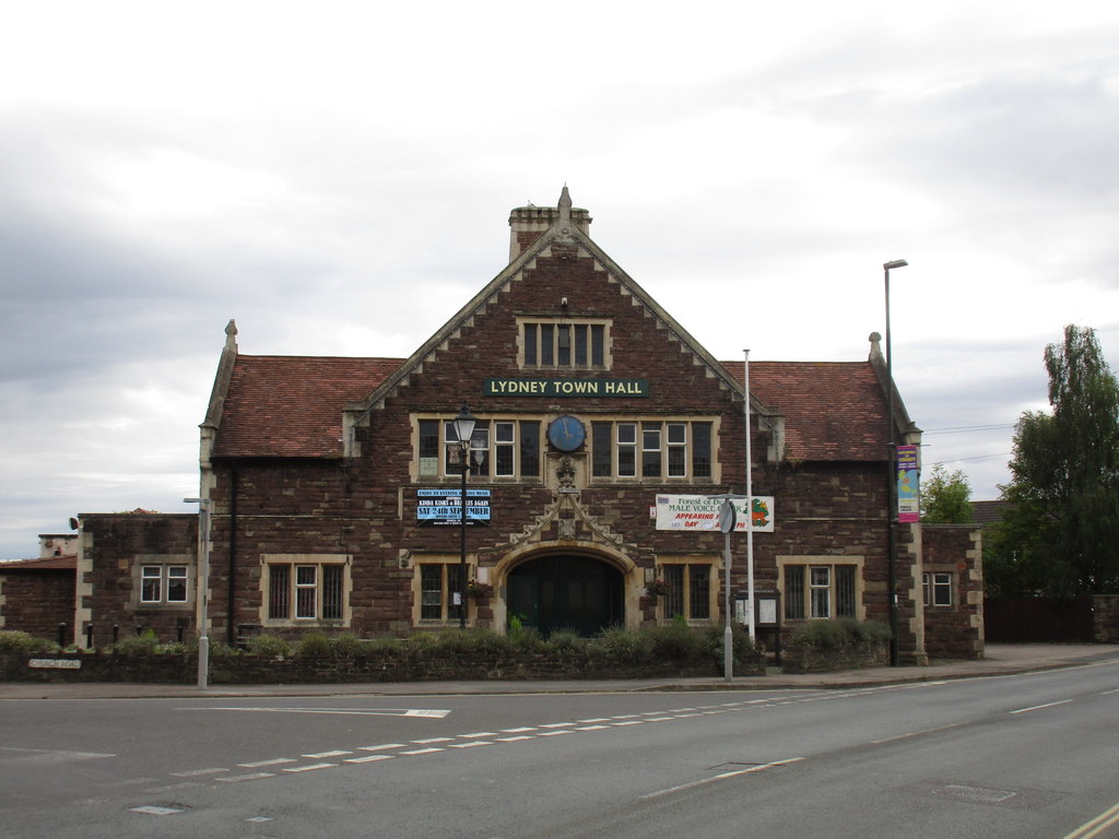
Lydney Town Hall

Lydney Town Hall is a municipal structure in the High Street, Lydney, Gloucestershire, England. The structure, which is used as an events venue, is listed...

The Dean Academy

The Dean Academy (formerly Whitecross School) is a mixed secondary school located in Lydney in the English county of Gloucestershire. == Location == The...

Hewelsfield Motte

The Hewelsfield Motte is a roughly circular mound, in Hewelsfield, Gloucestershire, England. It is thought to be a castle motte dating from the period...

Nearby Amenities

Located within 500m of 51.706303,-2.5802653
Alvington
Is In: Gloucestershire, UK
Place: village
Postal Code: GL15 6
Lat/Long: 51.7047863/-2.5768962
Bus Stop
Globe Inn
Bench: no
Bin: no
Lit: no
Naptan AtcoCode: 1600GL101
Naptan Bearing: SW
Naptan CommonName: Globe Inn
Naptan Indicator: Opp
Naptan NaptanCode: gloagjgw
Naptan Street: Main Rd A48
Naptan Verified: no
Shelter: no
Source: naptan_import
Tactile Paving: no
Lat/Long: 51.7048754/-2.5759694
Bus Stop
Globe Inn
Bench: no
Bin: no
Lit: no
Naptan AtcoCode: 1600GL102
Naptan Bearing: NE
Naptan CommonName: Globe Inn
Naptan NaptanCode: gloagjgt
Naptan Street: Main Rd A48
Naptan Verified: no
Shelter: yes
Source: naptan_import
Tactile Paving: no
Lat/Long: 51.7049739/-2.5760575
Bus Stop
Garlands Road
Naptan AtcoCode: 1600GL9156
Naptan Bearing: W
Naptan CommonName: Garlands Rd
Naptan NaptanCode: gloagdwg
Naptan Street: Garlands Rd
Naptan Verified: no
Source: naptan_import
Lat/Long: 51.7063077/-2.5790991
Post Box
Brand: Royal Mail
Brand Wikidata: Q638098
Mapillary: 677268690634732
Operator: Royal Mail
Operator Wikidata: Q638098
Post Box Mounting: pier
Post Box Type: lamp
Survey Date: 2023-06-01
Lat/Long: 51.7059801/-2.576723
Barrier: stile
Lat/Long: 51.7070476/-2.5871775
Pub
Blacksmiths Arms
Addr Place: Alvington
Addr Postcode: GL15 6AU
Addr Street: Main Road
Fhrs Id: 10822
Lat/Long: 51.704383/-2.5771808
Defibrillator
Booth: K6
Colour: red
Defibrillator Location: inside red phone box, Main Road, Alvington
Emergency: defibrillator
Man Made: telephone_box
Lat/Long: 51.7050374/-2.5760847
Speed Camera
Maxspeed: 30 mph
Lat/Long: 51.7048717/-2.576108
Barrier: stile
Lat/Long: 51.7066026/-2.5792937
Turning Circle
Lat/Long: 51.7069275/-2.5780758
Post Box
Post Box Type: lamp
Lat/Long: 51.7060654/-2.5741273
The data included in this document is from www.openstreetmap.org. The data is made available under ODbL.

Have you been to Nuppend?

Leave your review of Nuppend below (or comments, questions and feedback).