Nunton
Settlement in Wiltshire
England
Nunton

Nunton is a small village located in Wiltshire, England. Situated approximately 2 miles southeast of the town of Salisbury, Nunton is nestled in the scenic countryside of the county. The village has a population of around 300 people.
Nunton is known for its rich history, with evidence of settlements dating back to the Bronze Age. The village is home to several notable landmarks, including the picturesque St. Andrew's Church, which dates back to the 12th century. The church's architecture reflects the Norman style, featuring a sturdy tower and intricate stained glass windows.
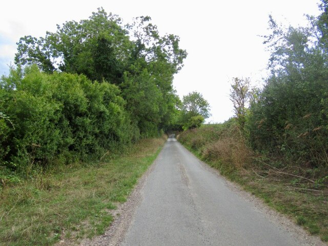
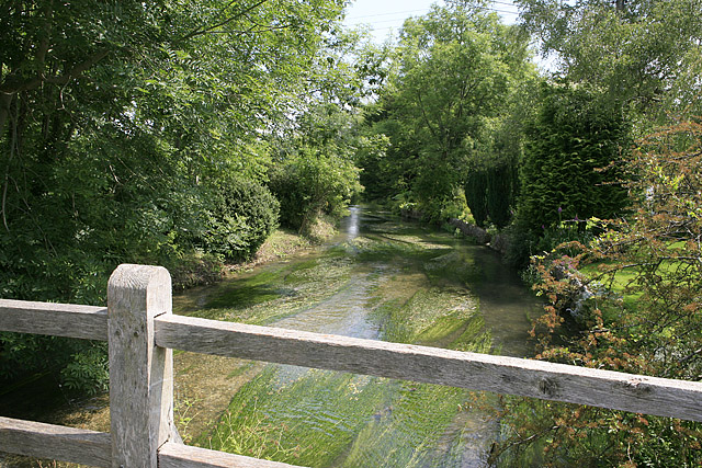
The village is surrounded by stunning natural landscapes, with rolling hills and meadows providing a tranquil atmosphere. Nunton is also close to the River Avon, offering opportunities for leisurely walks and fishing.
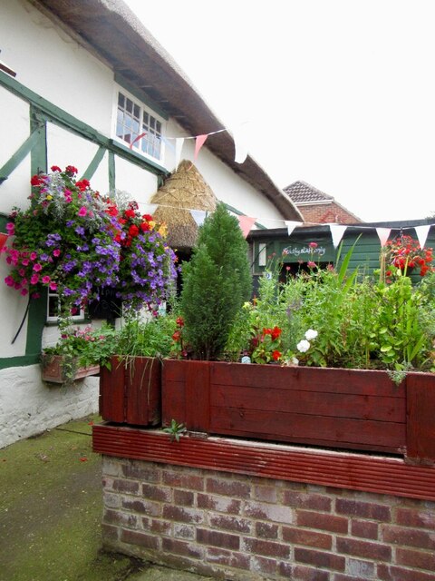
Despite its small size, Nunton boasts a strong sense of community. The village has a local pub, The Green Dragon, which serves as a popular gathering spot for residents and visitors alike. Additionally, Nunton is home to a primary school, providing education for the village's younger population.
Nunton's proximity to Salisbury allows residents to easily access a wider range of amenities, including shops, supermarkets, and cultural attractions. The village also benefits from good transportation links, with regular bus services connecting Nunton to neighboring towns and villages.
Overall, Nunton offers a charming and idyllic countryside retreat, with a rich heritage and a close-knit community that welcomes both residents and visitors to experience its beauty and tranquility.
If you have any feedback on the listing, please let us know in the comments section below.
Nunton Images
Images are sourced within 2km of 51.035071/-1.778197 or Grid Reference SU1526. Thanks to Geograph Open Source API. All images are credited.


Nunton is located at Grid Ref: SU1526 (Lat: 51.035071, Lng: -1.778197)
Unitary Authority: Wiltshire
Police Authority: Wiltshire
What 3 Words
///quietly.office.escalates. Near Alderbury, Wiltshire
Nearby Locations
Related Wikis

Nunton
Nunton is a small village and former civil parish in Wiltshire, England, about 2.5 miles (4.0 km) south-east of Salisbury, which has been part of Odstock...

Odstock
Odstock is a village and civil parish 3 miles (4.8 km) south of Salisbury in Wiltshire, England. The parish includes the village of Nunton with its nearby...
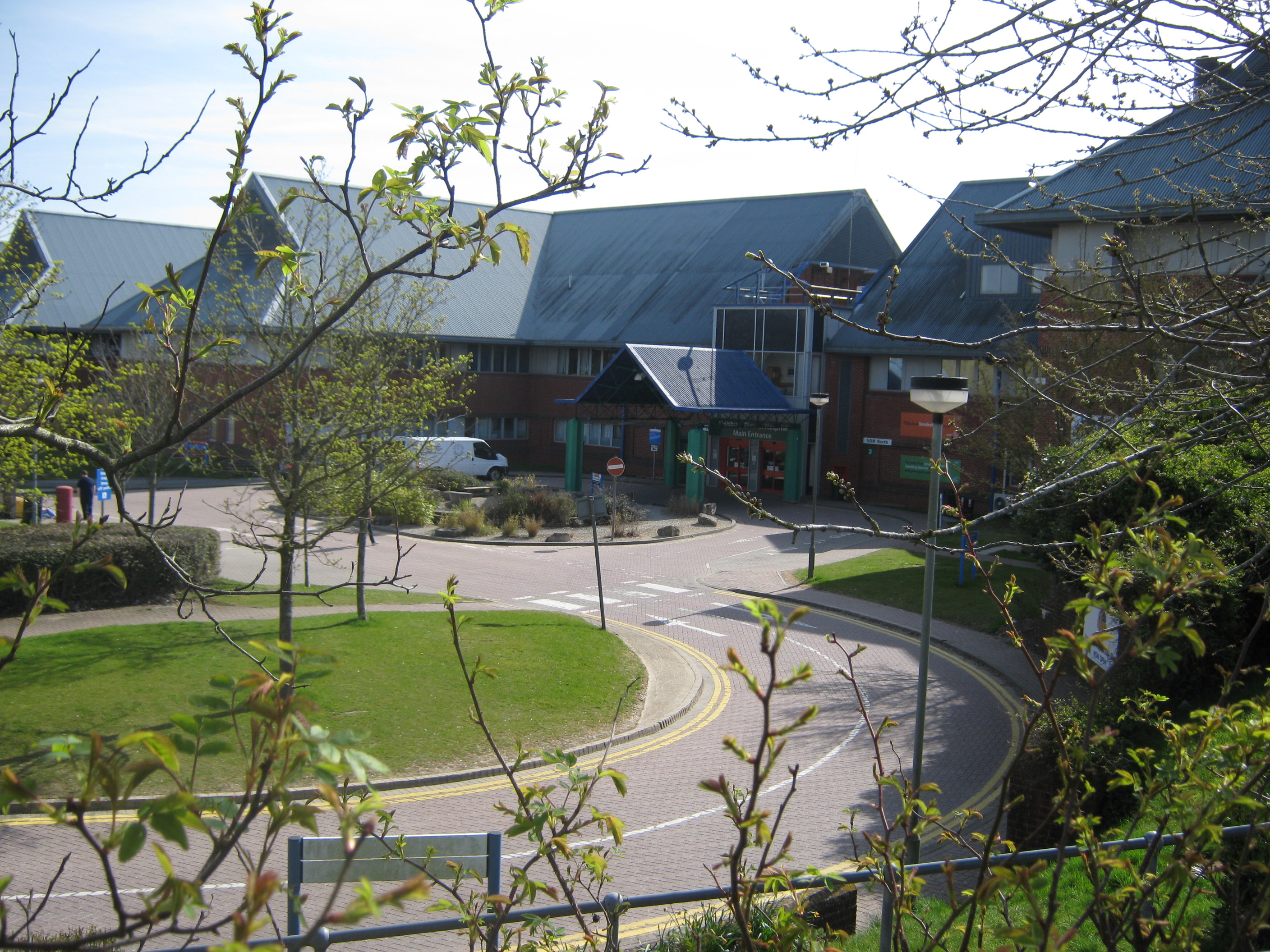
Salisbury District Hospital
Salisbury District Hospital is a large hospital on Odstock Road, Britford, Wiltshire, England, about 1+1⁄2 miles (2.4 km) south of the centre of the city...
River Ebble
The River Ebble is one of the five rivers of the English city of Salisbury. Rising at Alvediston to the west of the city, it joins the River Avon at Bodenham...

Britford Water Meadows
Britford Water Meadows (grid reference SU166274) is a biological Site of Special Scientific Interest at Britford, south of Salisbury in Wiltshire. It has...

Longford Castle
Longford Castle is a Grade I listed country house on the banks of the River Avon south of Salisbury, Wiltshire, England. It is the seat of the Earl of...
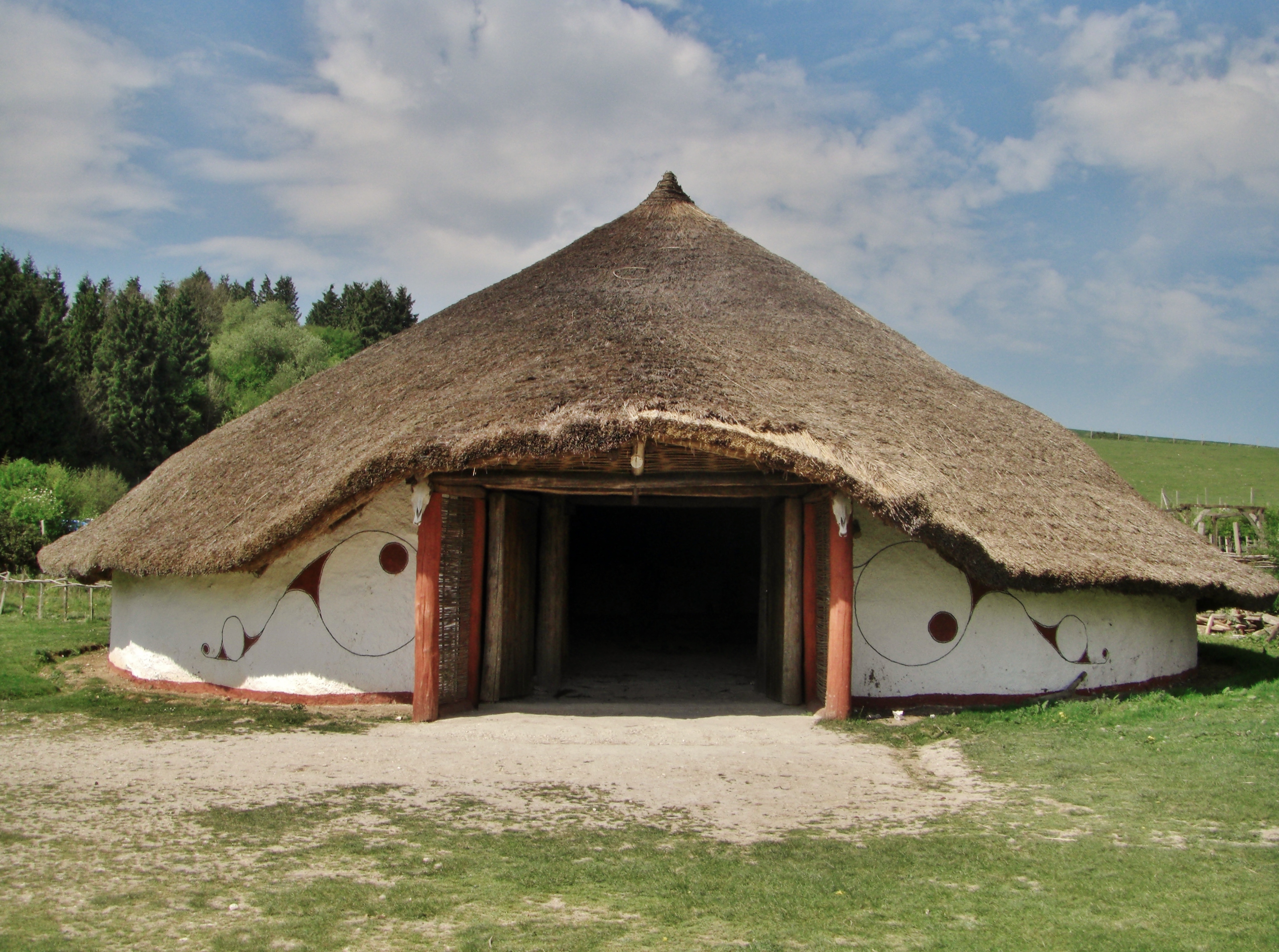
Little Woodbury
Little Woodbury is the name of an Iron Age archaeological site in Britford parish, near Salisbury in the English county of Wiltshire. The site, which is...

Clearbury Ring
Clearbury Ring is a univallate Iron Age hillfort which is partly in the parish of Downton in the county of Wiltshire in south-west England, approximately...
Nearby Amenities
Located within 500m of 51.035071,-1.778197Have you been to Nunton?
Leave your review of Nunton below (or comments, questions and feedback).