Norton Malreward
Settlement in Somerset
England
Norton Malreward

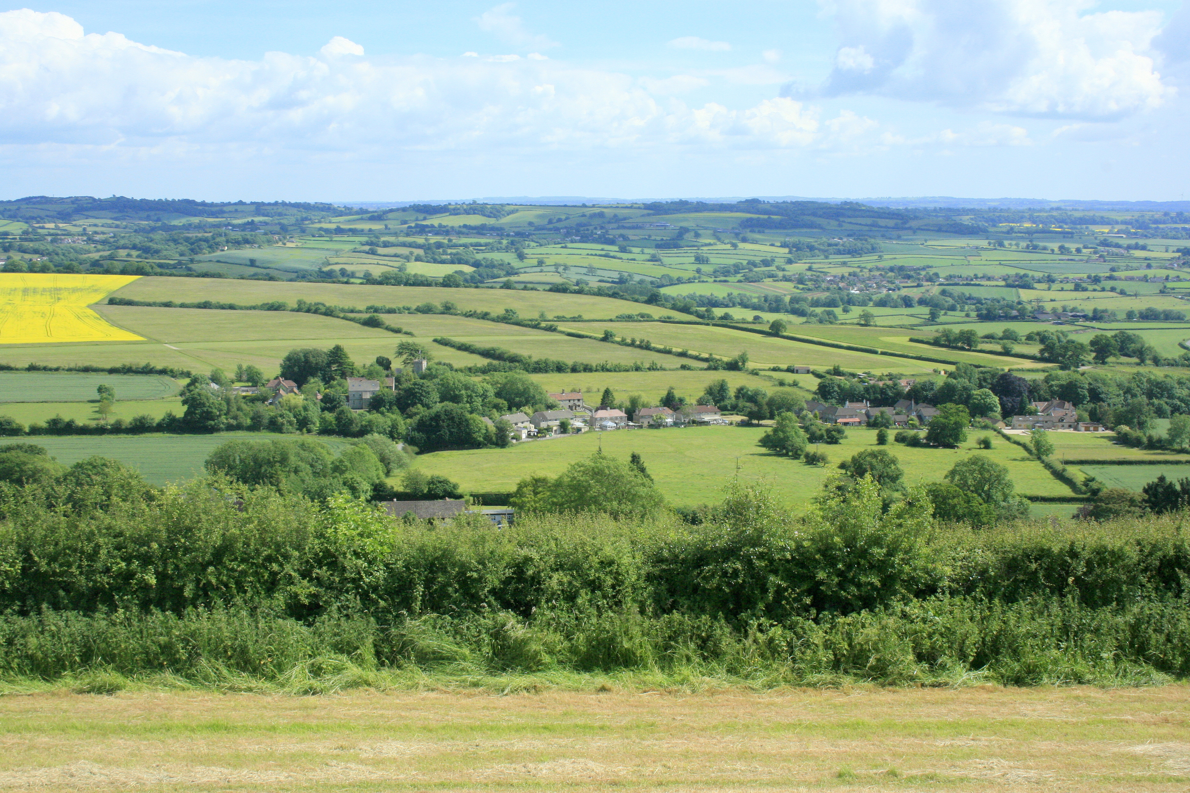
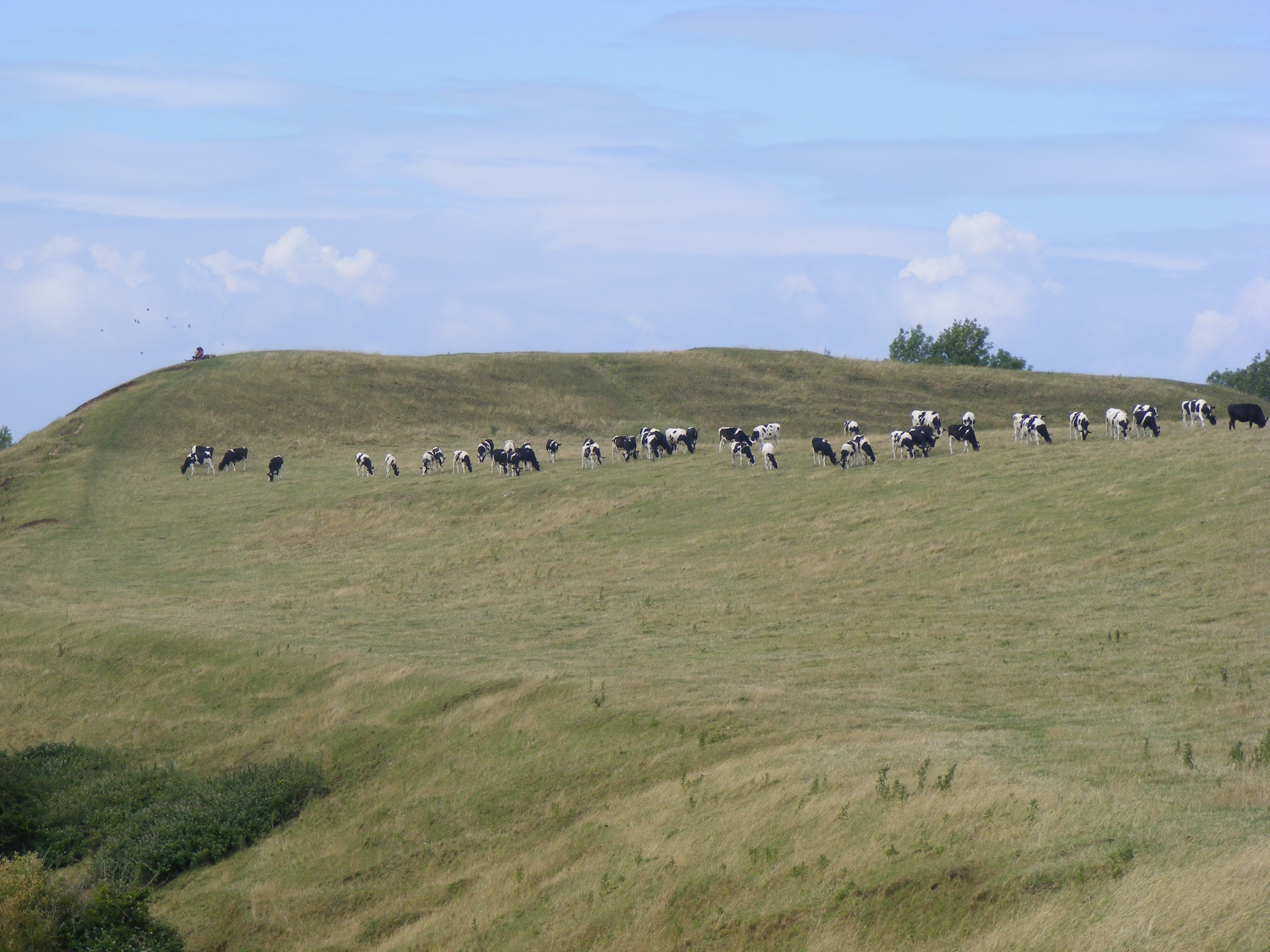
Norton Malreward is a small village located in the county of Somerset, England. Situated approximately 7 miles southwest of Bristol, the village is nestled in the picturesque Chew Valley, surrounded by rolling hills and beautiful countryside.
The origins of Norton Malreward can be traced back to the medieval times, and the village still retains much of its historic charm. It is believed that the name "Malreward" refers to the Malreward family, who were the feudal lords of the area during the Norman period.
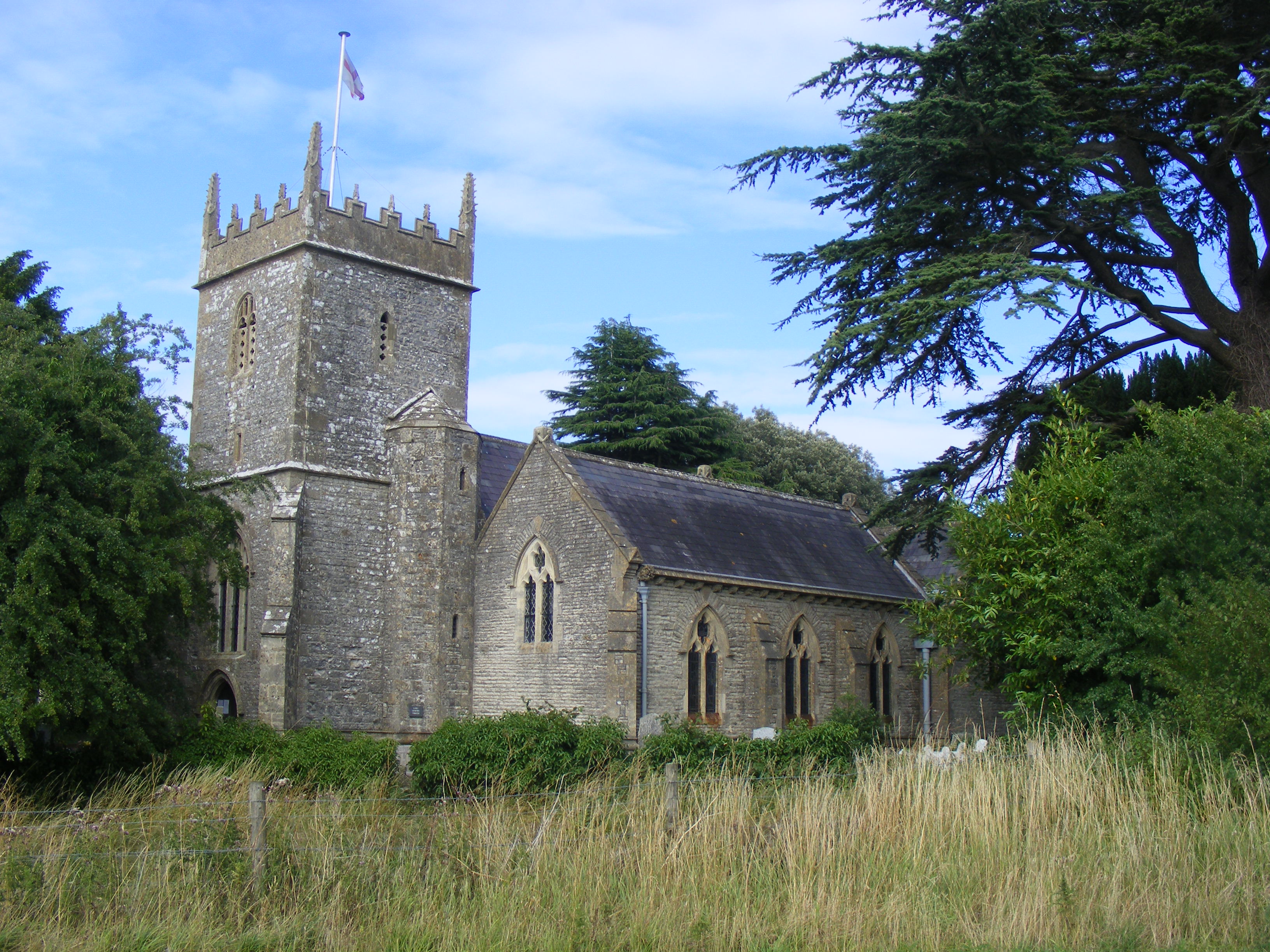
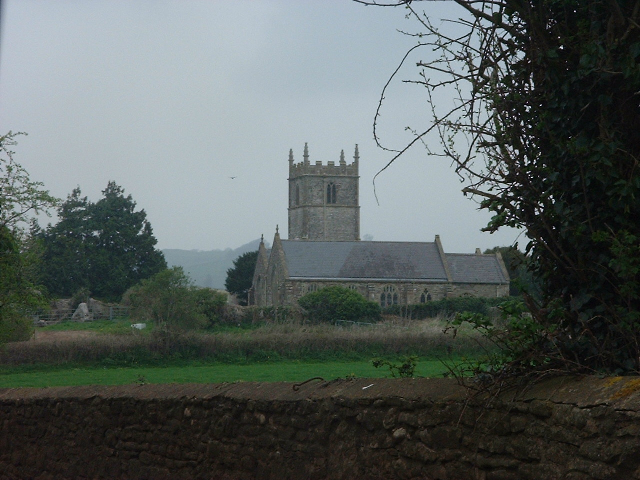
The heart of the village is centered around St. Mary's Church, a Grade I listed building dating back to the 13th century. The church is renowned for its impressive architecture and intricate stained glass windows, making it a popular destination for history enthusiasts and tourists alike.
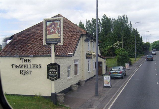
In terms of amenities, Norton Malreward offers a peaceful and close-knit community atmosphere. There is a local pub, The Bird in Hand, which serves traditional English food and is a popular spot for locals to gather and socialize. The village also has a village hall, where various community events and activities take place throughout the year.
The surrounding area provides ample opportunities for outdoor activities, with scenic walking and cycling routes. The Chew Valley Lake, located just a short distance away, is a popular spot for birdwatching, fishing, and sailing.
Overall, Norton Malreward offers a tranquil and idyllic setting, perfect for those seeking a rural escape while still being within close proximity to larger towns and cities.
If you have any feedback on the listing, please let us know in the comments section below.
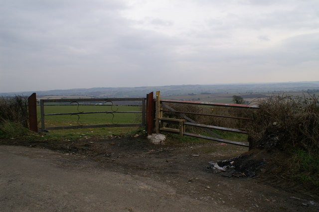
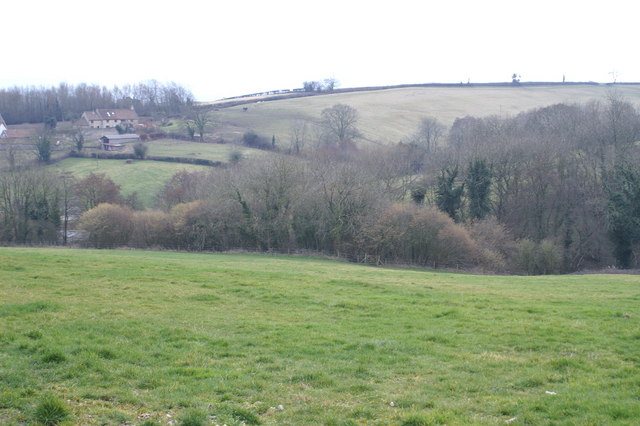
Norton Malreward Images
Images are sourced within 2km of 51.382526/-2.574106 or Grid Reference ST6064. Thanks to Geograph Open Source API. All images are credited.


Norton Malreward is located at Grid Ref: ST6064 (Lat: 51.382526, Lng: -2.574106)
Unitary Authority: Bath and North East Somerset
Police Authority: Avon and Somerset
What 3 Words
///reader.trunk.garden. Near Stanton Drew, Somerset
Nearby Locations
Related Wikis
Holy Trinity Church, Norton Malreward
The Anglican Holy Trinity Church in Norton Malreward, Somerset, England dates from the late 12th century. It has been designated as a Grade II listed building...
Norton Malreward
Norton Malreward is a small Somerset village and civil parish 4 miles (6.4 km) south of Bristol, England at the northern edge of the Chew Valley. In 1895...
Maes Knoll
Maes Knoll (sometimes Maes tump or Maes Knoll tump) is an Iron Age hill fort in Somerset, England, located at the eastern end of the Dundry Down ridge...

The Round House, Stanton Drew
The Round House (also known as The Toll House) at Stanton Drew in the English county of Somerset was built in the 18th century. It has been designated...
Belluton
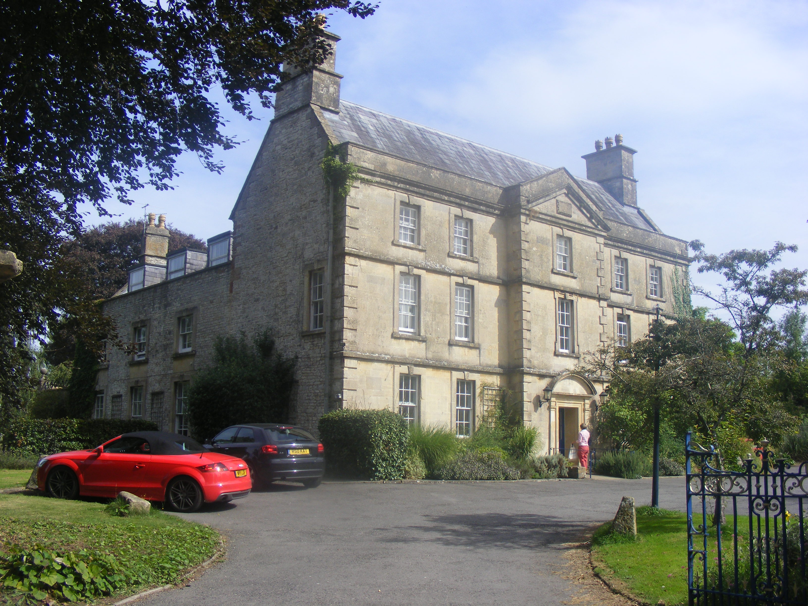
Belluton is a village in Somerset, England. It is in the district of Bath and North East Somerset and is located due south of the city of Bristol and due...
The Court, Stanton Drew
The Court in Stanton Drew, Somerset, England dates from 1753 and is a Grade II* listed building. It is now used as a nursing home. The walls and piers...
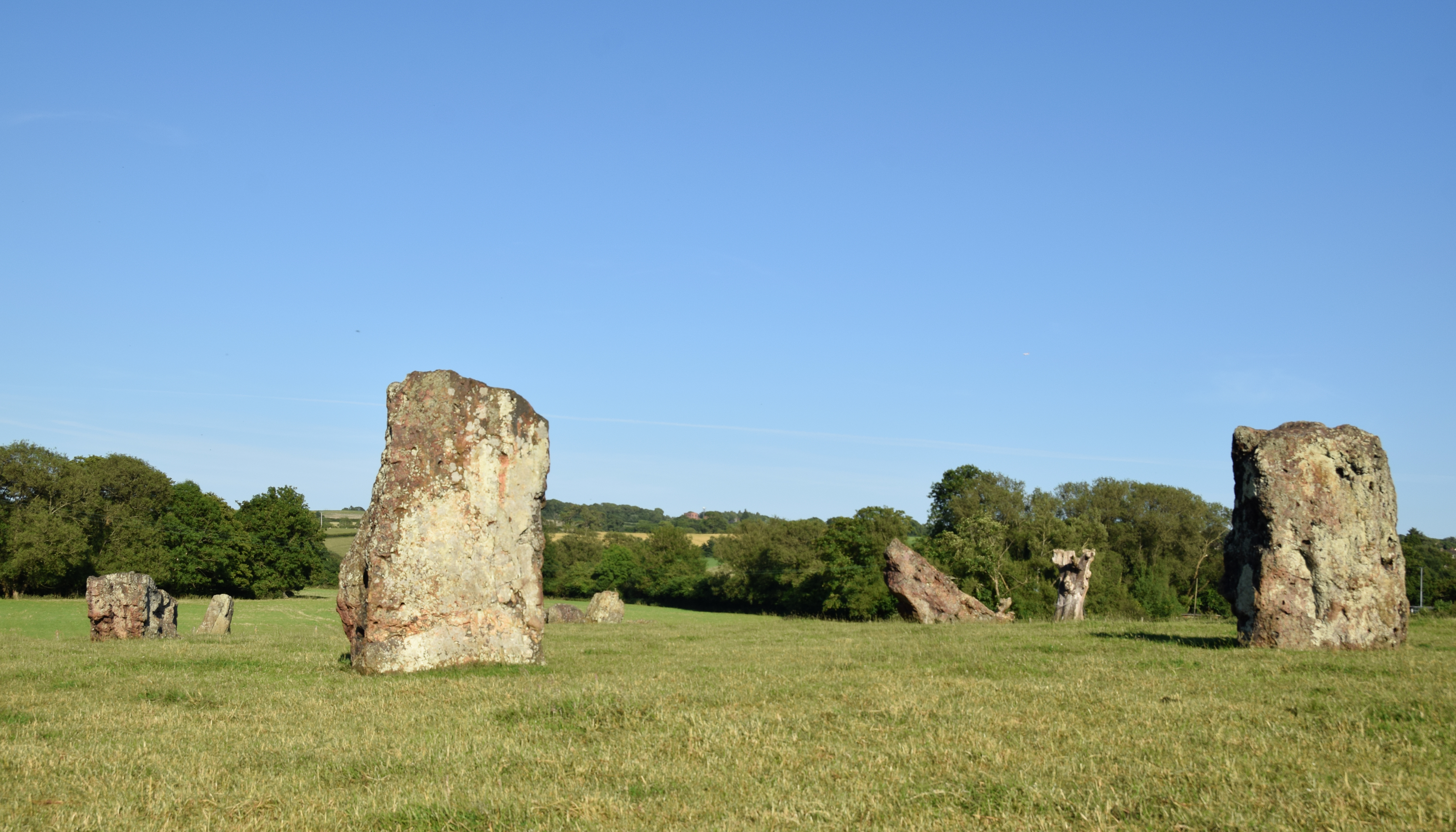
Stanton Drew stone circles
The Stanton Drew stone circles are just outside the village of Stanton Drew in the English county of Somerset. The largest stone circle is the Great Circle...
Stanton Drew
Stanton Drew is a small village and civil parish within the Chew Valley in Somerset, England, lying north of the Mendip Hills, 8 miles (13 km) south of...
Nearby Amenities
Located within 500m of 51.382526,-2.574106Have you been to Norton Malreward?
Leave your review of Norton Malreward below (or comments, questions and feedback).