Norton Green

Settlement in Hertfordshire Stevenage

England

Norton Green

Painted House at Norton Green Norton Green is a small hamlet clinging to the western edge of the New Town of Stevenage but separated by the A1(M). Despite this the place retains a quiet rural atmosphere.
Painted House at Norton Green Credit: Deb Cunningham

Norton Green is a small village located in the county of Hertfordshire, England. Situated about 30 miles north of London, it falls within the local government district of East Hertfordshire. The village is nestled amidst picturesque countryside, surrounded by rolling hills and lush green fields.

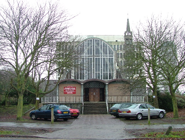
With a population of around 500 residents, Norton Green maintains a close-knit community feel. The village itself is characterized by a mix of traditional and modern architecture, with charming cottages and contemporary houses lining the streets. The focal point of the village is the historic St. Nicholas Church, which dates back to the 13th century and is known for its stunning stained glass windows.

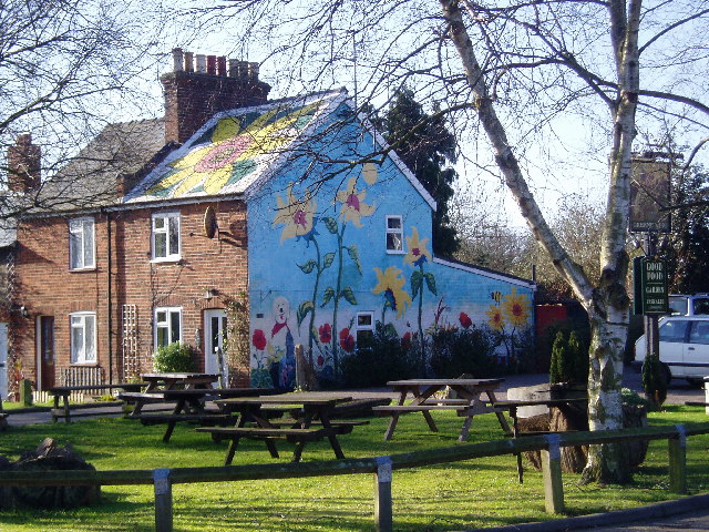
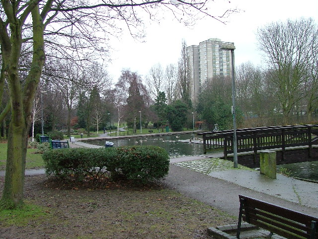
Despite its small size, Norton Green offers a range of amenities to its residents. The village boasts a village hall, where various community events and gatherings take place. Additionally, there is a local pub that serves as a popular meeting spot for locals and visitors alike. The surrounding countryside provides ample opportunities for outdoor activities such as hiking, cycling, and horse riding.

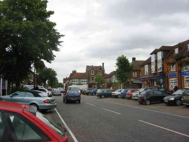
Norton Green benefits from its close proximity to nearby towns and cities. It is just a short drive away from the larger towns of Bishop's Stortford and Hertford, which offer a wider range of shopping, dining, and entertainment options. The village is also well-connected by road and rail, with easy access to major transport links.

Overall, Norton Green is a tranquil and idyllic village that offers a peaceful escape from the hustle and bustle of city life while still providing convenient access to nearby amenities.

If you have any feedback on the listing, please let us know in the comments section below.
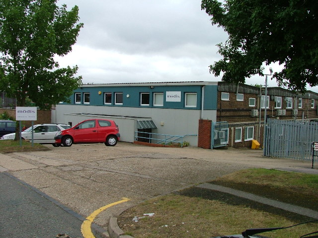
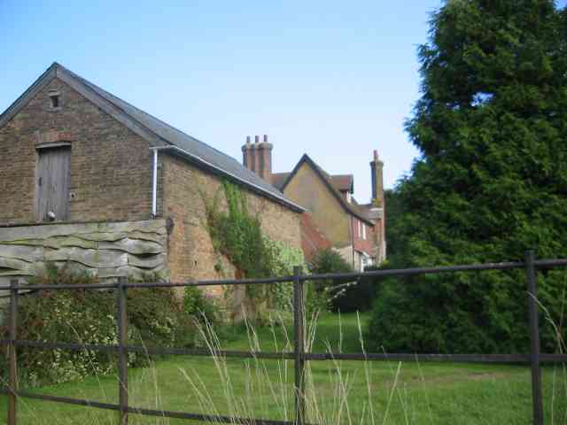
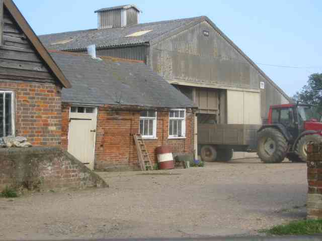
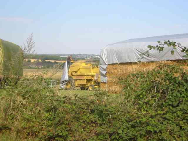
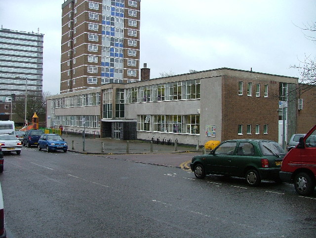
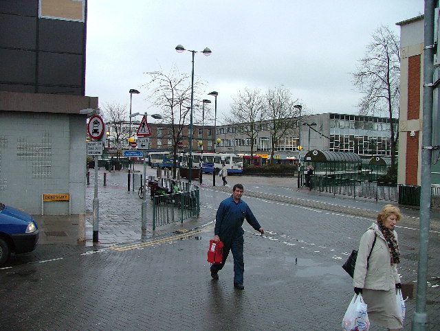
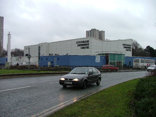
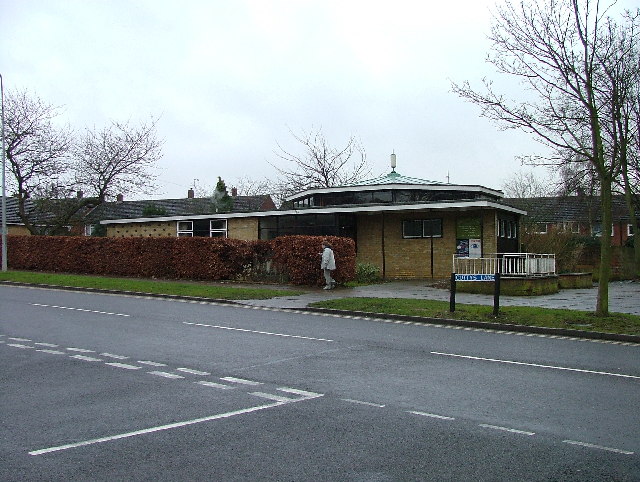
Norton Green Images

Images are sourced within 2km of 51.894754/-0.215473 or Grid Reference TL2223. Thanks to Geograph Open Source API. All images are credited.

Painted House at Norton Green Norton Green is a small hamlet clinging to the western edge of the New Town of Stevenage but separated by the A1(M). Despite this the place retains a quiet rural atmosphere.
Painted House at Norton Green
Norton Green is a small hamlet clinging to the western edge of the New Town of Stevenage but separated by the A1(M). Despite this the place retains a quiet rural atmosphere.
Stevenage  Old Town Old towns suffer from the motor car especially when nose in parking is the rule
Stevenage Old Town
Old towns suffer from the motor car especially when nose in parking is the rule
South end of Fairlands Valley Park. This photograph was taken facing north into Fairlands Valley Park from the car park used for Stevenage Borough FC (see TL2422).  This park is also used for travelling fairs and circuses.
South end of Fairlands Valley Park.
This photograph was taken facing north into Fairlands Valley Park from the car park used for Stevenage Borough FC (see TL2422). This park is also used for travelling fairs and circuses.
Stevenage Borough FC Taken from the club's car park across the Hertford Road.
Stevenage Borough FC
Taken from the club's car park across the Hertford Road.
Novotel / Knebworth Park. Just off the A1(M) this is at the entrance of Knebworth Park home to "rock concerts through the ages".  The hotel has a helipad in its grounds.  Better access that by A1(M)
Novotel / Knebworth Park.
Just off the A1(M) this is at the entrance of Knebworth Park home to "rock concerts through the ages". The hotel has a helipad in its grounds. Better access that by A1(M)
Stevenage Town Centre The clock tower features a memorial to Lewis Silkin, the Minister for Town and Country Planning.
Stevenage Town Centre
The clock tower features a memorial to Lewis Silkin, the Minister for Town and Country Planning.
Six Hills OK do you believe the OS who say that these features are tumuli or legend which says that these humps are lumps of soil thrown at travellers on the old Great North Road (just to the right of these humps but rather imposing nowadays)?  It is said that these were thrown here from Weston Woods (<a href="https://www.geograph.org.uk/gridref/TL2432">TL2432</a> and <a href="https://www.geograph.org.uk/gridref/TL2532">TL2532</a>).  Dick Turpin would have ridden past these on Black Bess on his ride from York to London.
Six Hills
OK do you believe the OS who say that these features are tumuli or legend which says that these humps are lumps of soil thrown at travellers on the old Great North Road (just to the right of these humps but rather imposing nowadays)? It is said that these were thrown here from Weston Woods (TL2432 and TL2532). Dick Turpin would have ridden past these on Black Bess on his ride from York to London.
Warehouse on Crompton Rd This industrial estate consists of small units and this one could be any of them.  A hundred yards behind me when I took this photograph is the A1(M), but you wouldn't know it from here and a couple of hundred yards further than that is an old Roman road.
Warehouse on Crompton Rd
This industrial estate consists of small units and this one could be any of them. A hundred yards behind me when I took this photograph is the A1(M), but you wouldn't know it from here and a couple of hundred yards further than that is an old Roman road.
Buildings and Farmhouse at Burleigh  Farm The chimney stacks off square are an interesting
feature
Buildings and Farmhouse at Burleigh Farm
The chimney stacks off square are an interesting feature
More Buildings at Burleigh Farm Appearance and architectural cohesion have taken a back seat in this grouping.
More Buildings at Burleigh Farm
Appearance and architectural cohesion have taken a back seat in this grouping.
Driver covering up the combine harvester Langley
Old Knebworth Lane / A1(M) A1(M) over the top, Old Knebworth Lane underneath.  Puddle, car, car, puddle.  Just like that.
Old Knebworth Lane / A1(M)
A1(M) over the top, Old Knebworth Lane underneath. Puddle, car, car, puddle. Just like that.
Stevenage Library Charactaristic of many of the buildings in this area.  Most of this end of the town is due for demolition.
Stevenage Library
Charactaristic of many of the buildings in this area. Most of this end of the town is due for demolition.
Stevenage Bus Station. Taken from the Matalan car park.
Stevenage Bus Station.
Taken from the Matalan car park.
Stevenage Swimming Pool The bus to the right is dropping children off for a drowning lesson.
Stevenage Swimming Pool
The bus to the right is dropping children off for a drowning lesson.
Religious Society of Friends meeting house Unprepossessing and in the shadow (almost literally) of the larger, church next door (St Andrew and St George)
Religious Society of Friends meeting house
Unprepossessing and in the shadow (almost literally) of the larger, church next door (St Andrew and St George)
Parish Church of St Andrew and St George - Stevenage. Below the church is Stevenage museum.
Parish Church of St Andrew and St George - Stevenage.
Below the church is Stevenage museum.
Town Park The 1940's map shows a stream running through this square and park.  All that remains visible is this long duck pond
Town Park
The 1940's map shows a stream running through this square and park. All that remains visible is this long duck pond
Show me another place!

Norton Green is located at Grid Ref: TL2223 (Lat: 51.894754, Lng: -0.215473)

Administrative County: Hertfordshire

District: Stevenage

Police Authority: Hertfordshire

What 3 Words

///scan.fault.pigs. Near Stevenage, Hertfordshire

Related Wikis

Stevenage Mail Centre

Stevenage mail centre was a Royal Mail mail centre in Stevenage, Hertfordshire, England. In 2010, Royal Mail announced that a number of sorting offices...

Women's Engineering Society

The Women's Engineering Society is a United Kingdom professional learned society and networking body for women engineers, scientists and technologists...
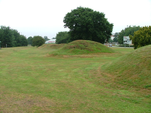
Six Hills

The Six Hills are a collection of Roman barrows situated alongside the old Great North Road on Six Hills Common in Stevenage, Hertfordshire, England....

Stevenage railway station

Stevenage railway station serves the town of Stevenage in Hertfordshire, England. The station is around 44.4 kilometres (27.6 miles) north of London King...

Knebworth Woods

Knebworth Woods is a 120.8-hectare (299-acre) biological Site of Special Scientific Interest in Knebworth, immediately south of Stevenage in Hertfordshire...

Stevenage Borough Council

Stevenage Borough Council is the local authority for the Stevenage non-metropolitan district of England, the United Kingdom. Stevenage is located in the...

North Hertfordshire College

North Hertfordshire College ("NHC") is a further education and higher education college operating in Stevenage, Hitchin, and Letchworth Garden City. NHC...

Stevenage

Stevenage ( STEE-vən-ij) is a large town and borough in Hertfordshire, England, about 27 miles (43 km) north of London. Stevenage is east of junctions...

Nearby Amenities

Located within 500m of 51.894754,-0.215473
Norton Green
Place: hamlet
Lat/Long: 51.8950827/-0.2150917
Premier Inn
Addr City: Stevenage
Addr Postcode: SG1 2DD
Addr Street: Six Hills Way
Brand: Premier Inn
Brand Wikidata: Q2108626
Brand Wikipedia: en:Premier Inn
Fhrs Id: 349162
Fhrs Local Authority Id: 05/00007/HOTEL
Internet Access: wlan
Internet Access Fee: customers
Internet Access Operator: Virgin Media
Internet Access Ssid: Premier Inn Free Wi-Fi
Tourism: hotel
Website: https://www.premierinn.com/gb/en/hotels/england/hertfordshire/stevenage/stevenage-central.html
Lat/Long: 51.8955831/-0.2124725
Phone
Check Date: 2023-09-03
Emergency: phone
Lat/Long: 51.8949054/-0.2127
Bus Stop
Six Hills Way
Bench: no
Bin: yes
Lit: yes
Naptan AtcoCode: 210021200480
Naptan Bearing: NW
Naptan CommonName: Six Hills Way
Naptan Crossing: Norton Green Road
Naptan Indicator: N-bound
Naptan Landmark: Norton Green Road
Naptan NaptanCode: hrtgagmg
Naptan PlusbusZoneRef: STEVNGE
Naptan ShortCommonName: NA
Naptan Street: Gunnels Wood Road
Naptan Verified: no
Public Transport: platform
Shelter: no
Source: naptan_import
Tactile Paving: yes
Lat/Long: 51.8955231/-0.2087026
Bus Stop
Six Hills Way
Bench: yes
Bin: yes
Lit: yes
Naptan AtcoCode: 210021203800
Naptan Bearing: SE
Naptan CommonName: Six Hills Way
Naptan Crossing: Norton Green Road
Naptan Indicator: S-bound
Naptan Landmark: Norton Green Road
Naptan NaptanCode: hrtdwjap
Naptan PlusbusZoneRef: STEVNGE
Naptan ShortCommonName: NA
Naptan Street: Gunnels Wood Road
Naptan Verified: no
Public Transport: platform
Shelter: yes
Source: naptan_import
Tactile Paving: no
Lat/Long: 51.8954717/-0.2082832
Mini Roundabout
Direction: clockwise
Lat/Long: 51.8969249/-0.211718
Post Box
Check Date: 2021-02-21
Collection Times: Mo-Fr 09:00, Sa 07:00
Post Box Type: lamp
Ref: SG1 411
Royal Cypher: EIIR
Royal Cypher Wikidata: Q33102113
Lat/Long: 51.8958927/-0.2136592
Material: wood
Power: pole
Lat/Long: 51.8968137/-0.22051
Material: wood
Power: pole
Lat/Long: 51.8960102/-0.2177594
Material: wood
Power: pole
Lat/Long: 51.893886/-0.2167367
Material: wood
Power: pole
Lat/Long: 51.8926146/-0.2166146
Material: wood
Power: pole
Lat/Long: 51.8914379/-0.216551
Material: wood
Power: pole
Lat/Long: 51.8951056/-0.2173557
Material: wood
Power: pole
Lat/Long: 51.8962841/-0.2187397
Barrier: lift_gate
Lat/Long: 51.8977392/-0.2137985
Noexit: yes
Lat/Long: 51.8951076/-0.2153491
Noexit: yes
Lat/Long: 51.8953873/-0.2154002
Norton Green
Board Type: nature
Information: board
Tourism: information
Lat/Long: 51.8938949/-0.2146354
Power: pole
Lat/Long: 51.8970441/-0.2169947
Power: pole
Lat/Long: 51.8977318/-0.2177551
Waste Basket
Lat/Long: 51.8955495/-0.2087201
Waste Basket
Lat/Long: 51.8954907/-0.2083004
NHS Covid19 Mass Vaccination Centre
Healthcare: vaccination_centre
Note: precise location in building required
Start Date: 11/01/2021
Vaccination: covid19
Lat/Long: 51.8974574/-0.2117368
Bicycle: no
Direction: backward
Traffic Sign: GB:951
Lat/Long: 51.8950289/-0.2144675
Barrier: kissing_gate
Lat/Long: 51.895338/-0.2149841
MBDA UK
Addr City: Stevenage
Addr Postcode: SG1 2DA
Addr Street: Six Hills Way
Office: company
Lat/Long: 51.8964341/-0.2107187
Barrier: lift_gate
Lat/Long: 51.8975788/-0.2137594
The data included in this document is from www.openstreetmap.org. The data is made available under ODbL.

Have you been to Norton Green?

Leave your review of Norton Green below (or comments, questions and feedback).