Northorpe
Settlement in Lincolnshire South Holland
England
Northorpe

The requested URL returned error: 429 Too Many Requests
If you have any feedback on the listing, please let us know in the comments section below.
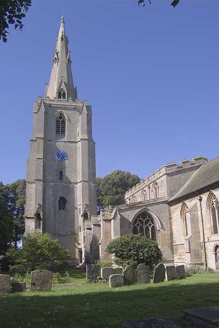
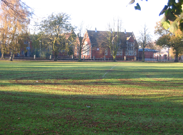
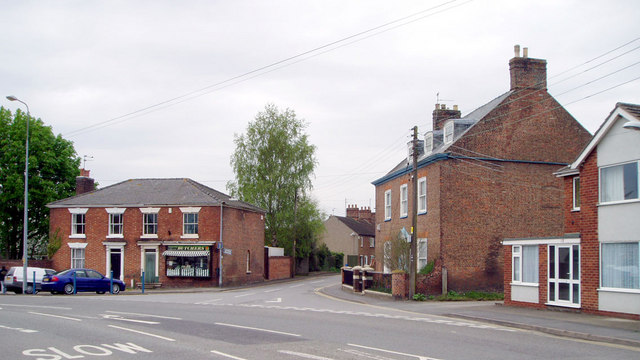
Northorpe Images
Images are sourced within 2km of 52.913543/-0.207932 or Grid Reference TF2036. Thanks to Geograph Open Source API. All images are credited.


Northorpe is located at Grid Ref: TF2036 (Lat: 52.913543, Lng: -0.207932)
Division: Parts of Holland
Administrative County: Lincolnshire
District: South Holland
Police Authority: Lincolnshire
What 3 Words
///measuring.riskiest.brew. Near Donington, Lincolnshire
Nearby Locations
Related Wikis

Cowley Academy
Cowley Academy (formally The Thomas Cowley High School) is a mixed secondary school with Academy status, in Donington, Lincolnshire, England. As of 1 September...

Donington, Lincolnshire
Donington is a village and civil parish in the South Holland district of Lincolnshire, England. It is 8 miles (13 km) north from the market town of Spalding...

Donington Road railway station
Donington Road railway station was a station in Lincolnshire on the line between Spalding and Sleaford. == References == == External links == Donington...

Bicker Gauntlet
Bicker Gauntlet is a village in Lincolnshire, England. It is in the civil parish of Bicker. == External links == Media related to Bicker Gauntlet at Wikimedia...
Nearby Amenities
Located within 500m of 52.913543,-0.207932Have you been to Northorpe?
Leave your review of Northorpe below (or comments, questions and feedback).