Northbeck

Settlement in Lincolnshire North Kesteven

England

Northbeck

Corner Cottage At the corner of Mareham Lane and Gorse Drove (right)
Corner Cottage Credit: Tim Heaton

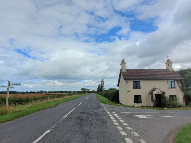
Northbeck is a small village located in the county of Lincolnshire, England. Situated approximately 10 miles northwest of the city of Lincoln, it is nestled in a rural setting, surrounded by picturesque countryside. The village is home to a population of around 500 residents.

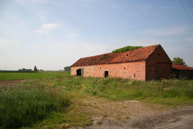
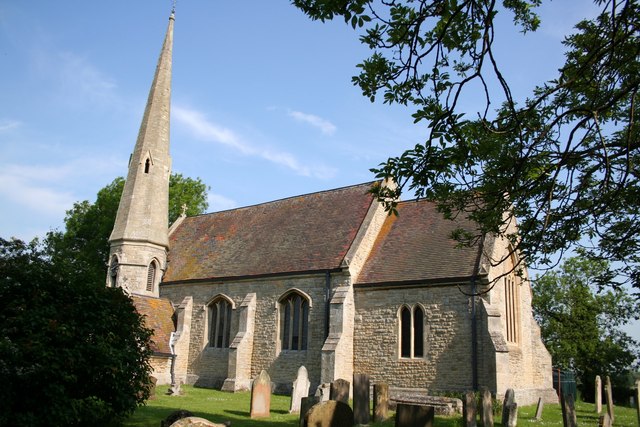
Northbeck boasts a rich history, with evidence of human settlement dating back to Roman times. The area is dotted with several archaeological sites, including a Roman villa and a medieval church, which serve as reminders of the village's past.

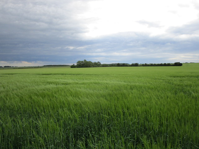
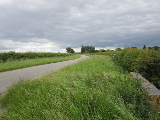
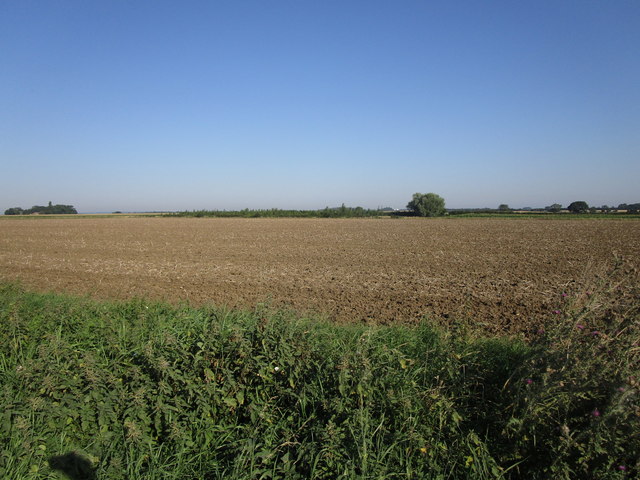
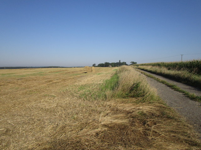
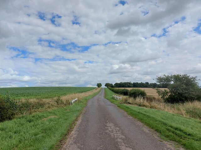
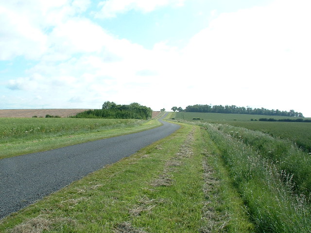
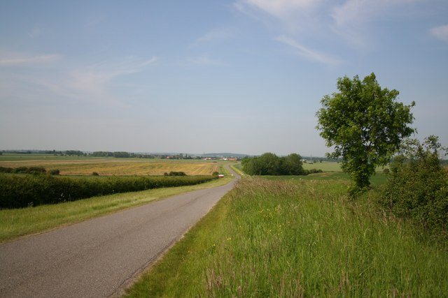
The village is known for its tranquil atmosphere and idyllic surroundings. The landscape is characterized by rolling hills, meandering streams, and lush green fields, making it a haven for nature lovers and outdoor enthusiasts. Walking and cycling routes crisscross the area, providing ample opportunities for exploration.

Northbeck's community is tightly knit, with a strong sense of community spirit. The village has a local pub, serving as a social hub for residents and visitors alike. Additionally, there is a small primary school, ensuring that the educational needs of the village's children are met.

While Northbeck may be a quiet and peaceful village, it benefits from its close proximity to the vibrant city of Lincoln. Residents can easily access a range of amenities, including shopping centers, restaurants, and cultural attractions.

Overall, Northbeck offers a charming and serene rural lifestyle, combined with the convenience of nearby urban amenities.

If you have any feedback on the listing, please let us know in the comments section below.

Northbeck Images

Images are sourced within 2km of 52.955155/-0.369225 or Grid Reference TF0941. Thanks to Geograph Open Source API. All images are credited.

Corner Cottage At the corner of Mareham Lane and Gorse Drove (right)
Corner Cottage
At the corner of Mareham Lane and Gorse Drove (right)
Gate House At the junction of Gorse Drove (ahead) and Poor Garden Road.
The former Bourne and Sleaford Railway line used to run across Gorse Drove just to the right of the house. I presume the house's name referred to a level crossing gate across the road.
Gate House
At the junction of Gorse Drove (ahead) and Poor Garden Road. The former Bourne and Sleaford Railway line used to run across Gorse Drove just to the right of the house. I presume the house's name referred to a level crossing gate across the road.
Barley field near Scredington
Helpringham Road, Scredington Looking towards Millfield Farm.
Helpringham Road, Scredington
Looking towards Millfield Farm.
Stubble field off Scredington Road
Bridleway to Hill Top Farm and Whitecross Lane
Farm track off Scredington Road
Scredington Road From Burton Pedwardine towards Scredington.
Scredington Road
From Burton Pedwardine towards Scredington.
Drain beside Scredington Road
Scredington Road Towards Scredington.
Scredington Road
Towards Scredington.
Scredington Road approaching Burton Cliff The slight rise ahead is called 'Burton Cliff'. It has a height of 15 metres above sea level - which perhaps constitutes a cliff in this part of Lincolnshire.
Scredington Road approaching Burton Cliff
The slight rise ahead is called 'Burton Cliff'. It has a height of 15 metres above sea level - which perhaps constitutes a cliff in this part of Lincolnshire.
Bridleway along Burton Cliff Heading towards Hill Top Farm - at a giddy height of 15 metres above sea level.
Bridleway along Burton Cliff
Heading towards Hill Top Farm - at a giddy height of 15 metres above sea level.
Bridleway descending from Burton Cliff Passing a field of maize en route to the junction with Whitecross Lane
Bridleway descending from Burton Cliff
Passing a field of maize en route to the junction with Whitecross Lane
Northbeck to Burton Pedwardine Road
Scredington from Gorse Drove Footpath to Scredington from Gorse Hill with the spire of St.Andrew's church showing above the trees.
Scredington from Gorse Drove
Footpath to Scredington from Gorse Hill with the spire of St.Andrew's church showing above the trees.
Disused farm building on Mareham Lane Opposite Corner Cottage on Mareham Lane looking south
Disused farm building on Mareham Lane
Opposite Corner Cottage on Mareham Lane looking south
Northbeck & Scredington from Burton Cliff Looking down Scredington Road from Burton Cliff towards Northbeck
Northbeck & Scredington from Burton Cliff
Looking down Scredington Road from Burton Cliff towards Northbeck
Millfield Farm Seen from the corner of Helpringham Road and Gorse Lane
Millfield Farm
Seen from the corner of Helpringham Road and Gorse Lane
Show me another place!

Northbeck is located at Grid Ref: TF0941 (Lat: 52.955155, Lng: -0.369225)

Division: Parts of Kesteven

Administrative County: Lincolnshire

District: North Kesteven

Police Authority: Lincolnshire

What 3 Words

///cracks.future.newlywed. Near Sleaford, Lincolnshire

Nearby Locations

Northbeck

Related Wikis

Scredington

Scredington is a village and civil parish in the North Kesteven district of Lincolnshire, England. The population of the civil parish at the 2011 census...

Aswarby and Scredington railway station

Aswarby and Scredington railway station was a station close to Scredington, Lincolnshire on the Great Northern Railway Bourne and Sleaford railway. It...

Burton Pedwardine

Burton Pedwardine is a hamlet and civil parish in the district of North Kesteven, Lincolnshire, England. The population at the 2011 census was 187. The...

Spanby

Spanby is a village and former civil parish, now in the parish of Threekingham, in the North Kesteven district of Lincolnshire, England, about 5 miles...

Nearby Amenities

Located within 500m of 52.955155,-0.369225
Bus Stop
T Junction
Naptan AtcoCode: 270002700547
Naptan Bearing: N
Naptan CommonName: T Junction
Naptan Indicator: N - bound
Naptan Landmark: T Junction
Naptan Street: Northbeck
Naptan Verified: no
Source: naptan_import
Lat/Long: 52.956107/-0.3698945
Bus Stop
T Junction
Naptan AtcoCode: 2700LN006644
Naptan Bearing: S
Naptan CommonName: T Junction
Naptan Indicator: S - bound
Naptan Landmark: T Junction
Naptan NaptanCode: lingdtgt
Naptan Street: Northbeck
Naptan Verified: no
Source: naptan_import
Lat/Long: 52.9560608/-0.3698069
Power: tower
Lat/Long: 52.9572473/-0.3655098
Power: tower
Lat/Long: 52.9524255/-0.3646944
Power: tower
Lat/Long: 52.95483/-0.3651021
Manor Farm
Place: farm
Source: Bing
Lat/Long: 52.9562279/-0.3707922
Northbeck
Place: hamlet
Source: Bing
Lat/Long: 52.9556256/-0.3693972
Archaeological Site: fortification
Historic: archaeological_site
Source: Bing
Lat/Long: 52.9534488/-0.3733833
Archaeological Site: fortification
Historic: archaeological_site
Source: Bing
Lat/Long: 52.9571589/-0.3694958
The data included in this document is from www.openstreetmap.org. The data is made available under ODbL.

Have you been to Northbeck?

Leave your review of Northbeck below (or comments, questions and feedback).