Bexfield
Settlement in Norfolk Broadland
England
Bexfield
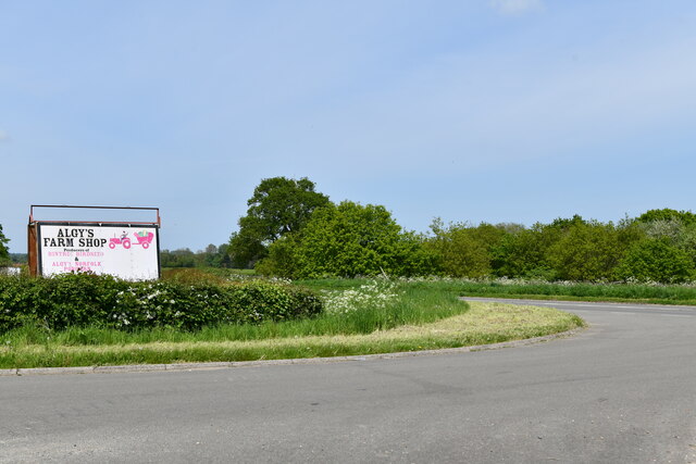
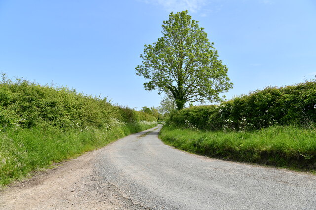
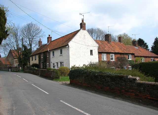
Bexfield is a small village located in the county of Norfolk, England. Situated approximately 7 miles southwest of the market town of Dereham, Bexfield is a picturesque and tranquil settlement with a population of around 200 residents.
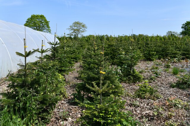
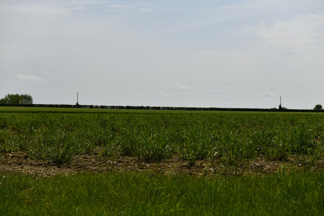
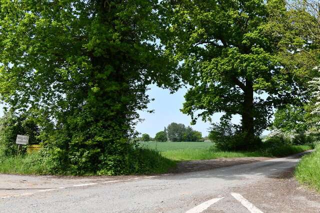
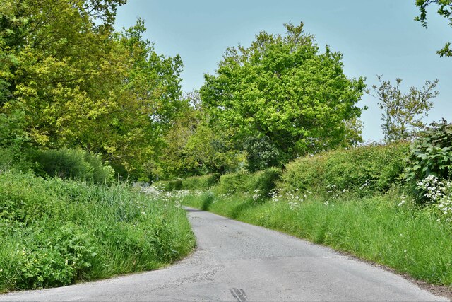
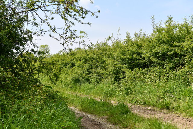
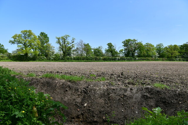
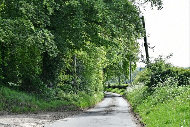
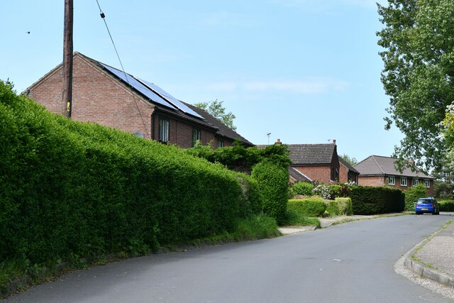
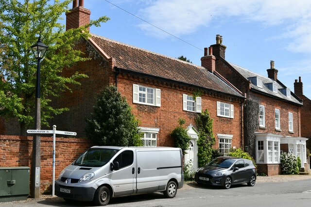
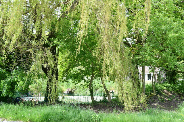
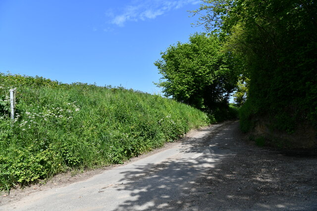
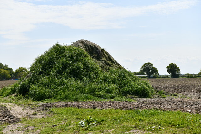
The village is surrounded by beautiful countryside, characterized by rolling hills, meadows, and farmland, making it an ideal location for those seeking a peaceful rural lifestyle. Bexfield benefits from its close proximity to the Norfolk coast, with popular seaside towns such as Wells-next-the-Sea and Cromer just a short drive away.
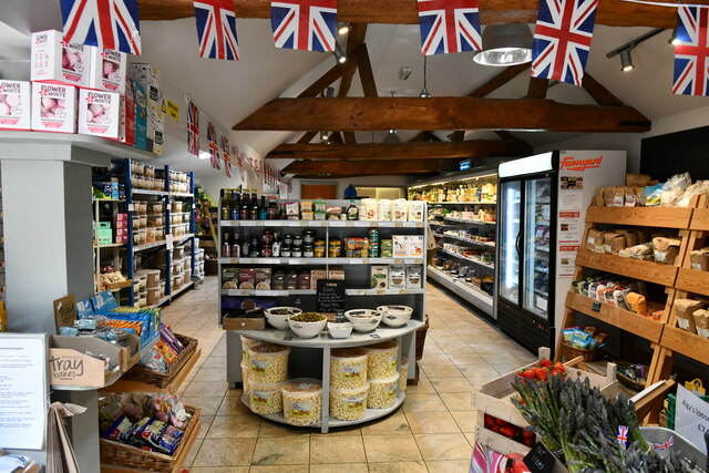
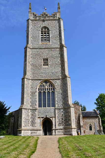
In terms of amenities, Bexfield boasts a charming village hall which serves as a hub for local events and community gatherings. The village also has a well-maintained green space, perfect for leisurely walks or picnics on sunny days. However, for more extensive amenities, residents can easily access the nearby town of Dereham, which offers a wider range of shops, supermarkets, schools, and healthcare facilities.
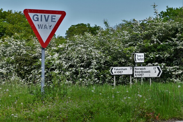
Bexfield is well-connected by road, with the A47 running nearby, providing easy access to Norwich, the capital city of Norfolk, and other major towns in the region. The village is also served by several bus routes, ensuring convenient transportation links for both residents and visitors.
Overall, Bexfield offers a tranquil and idyllic lifestyle in the heart of the Norfolk countryside, while still providing easy access to nearby amenities and coastal attractions.
If you have any feedback on the listing, please let us know in the comments section below.
Bexfield Images
Images are sourced within 2km of 52.78476/0.99392942 or Grid Reference TG0225. Thanks to Geograph Open Source API. All images are credited.
Bexfield is located at Grid Ref: TG0225 (Lat: 52.78476, Lng: 0.99392942)
Administrative County: Norfolk
District: Broadland
Police Authority: Norfolk
What 3 Words
///cobbled.president.perused. Near Foulsham, Norfolk
Nearby Locations
Related Wikis

Bexfield
Bexfield is a village near Foulsham in Norfolk, England.

Twyford, Norfolk
Twyford is a hamlet and civil parish in the English county of Norfolk. It is situated on the A1067 road, some 12 km (7.5 mi) south-east of the town of...

Foulsham railway station
Foulsham was a railway station in North Norfolk. It served the village of Foulsham, and was closed to passengers on 15 September 1952. The line from Foulsham...

Foulsham
Foulsham is a village and civil parish in the English county of Norfolk. The village is located 7.40 miles (11.91 km) north-east of Dereham and 16 miles...
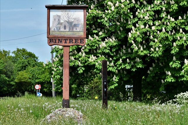
Bintree
Bintree is a village and civil parish in Norfolk, England, about nine miles (14 km) south-east of Fakenham. According to the 2001 census it had a population...
Guist
Guist () is a village and civil parish in the English county of Norfolk. It covers an area of 6.80 km2 (2.63 sq mi) and had a population of 242 in 102...

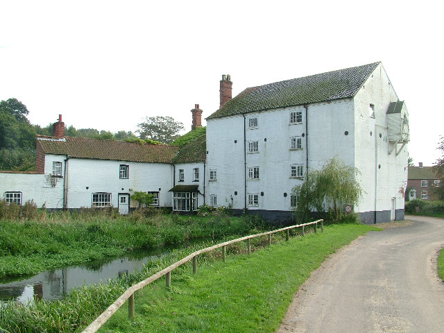
Bintry Watermill
Bintry Watermill is located on the River Wensum, about a mile (2 km) west of the village of Bintree in the English county of Norfolk. The watermill is...
B1110 road
The B1110 runs for about 19 miles (31 km) between Holt and Dereham, and is entirely within the county of Norfolk. The road is a link between the A148 and...
Nearby Amenities
Located within 500m of 52.78476,0.99392942Have you been to Bexfield?
Leave your review of Bexfield below (or comments, questions and feedback).