North Scarle

Settlement in Lincolnshire North Kesteven

England

North Scarle

Trees alongside a farm track Clay Farm to the right.
Trees alongside a farm track Credit: Jonathan Thacker

North Scarle is a small village located in the district of North Kesteven, Lincolnshire, England. Situated about 9 miles southwest of the city of Lincoln, it is nestled in the heart of the picturesque countryside that characterizes the region. The village is positioned on the eastern bank of the River Trent, which adds to its natural charm and offers residents and visitors alike opportunities for recreational activities such as fishing and boating.

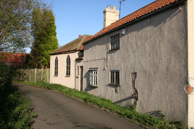
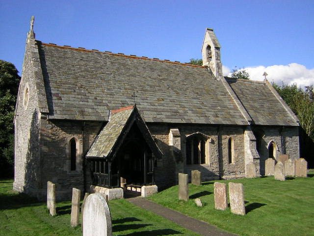
The village itself has a rich history, with evidence of human settlements dating back to Roman times. Today, North Scarle retains its traditional rural character, with a mix of charming cottages and modern houses lining its quiet streets. The community is small but close-knit, with a friendly and welcoming atmosphere.

A notable landmark in North Scarle is the Sturton Road Windmill, a well-preserved tower mill that dates back to the 19th century. This historic structure stands as a testament to the village's agricultural heritage.

While North Scarle may be small, it offers a range of amenities for its residents, including a village hall and a local pub. The village also benefits from its proximity to larger towns and cities, with easy access to amenities and services in Lincoln.

Overall, North Scarle is a peaceful and idyllic village that provides a tranquil setting for those seeking a rural lifestyle while still being within reach of urban amenities. Its rich history, natural beauty, and friendly community make it a desirable place to live or visit in Lincolnshire.

If you have any feedback on the listing, please let us know in the comments section below.
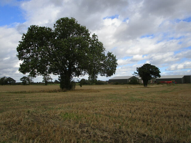
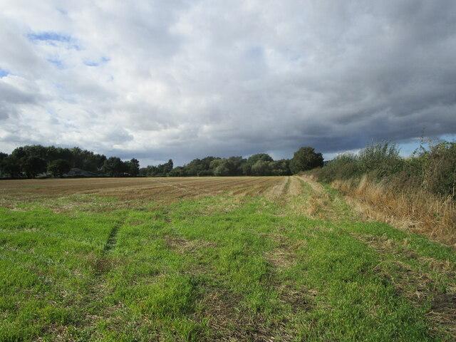
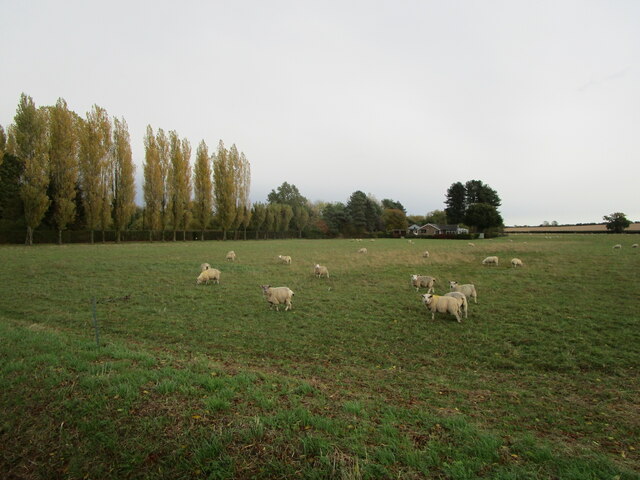
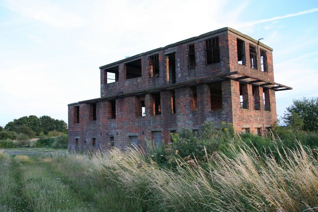
North Scarle Images

Images are sourced within 2km of 53.193691/-0.730148 or Grid Reference SK8467. Thanks to Geograph Open Source API. All images are credited.

Trees alongside a farm track Clay Farm to the right.
Trees alongside a farm track
Clay Farm to the right.
Footpath to North Scarle The hedge ahead marks the boundary between Nottinghamshire and Lincolnshire.
Footpath to North Scarle
The hedge ahead marks the boundary between Nottinghamshire and Lincolnshire.
Stubble field and Clay Farm
Stubble field near Clay Farm
Clog Bridge Lane A farm track.
Clog Bridge Lane
A farm track.
Stubble field North Scarle in the distance.
Stubble field
North Scarle in the distance.
Harrowed field off South Scarle Lane
The Weddell Fields
The Weddell Fields
Mill Dam Dyke
Mill Dam Dyke
House at the crossroads, North Scarle
Spring Bank, School Lane, North Scarle The home of my great grandparents and great aunts until the early 1950s.
Spring Bank, School Lane, North Scarle
The home of my great grandparents and great aunts until the early 1950s.
North Scarle Heritage Room and Post Office
Derelict field between North Scarle and Eagle Hedges have been planted around much of the field though some distance inward from the boundary. Was this intended as a caravan site (of which there are several in the neighbourhood)?
Derelict field between North Scarle and Eagle
Hedges have been planted around much of the field though some distance inward from the boundary. Was this intended as a caravan site (of which there are several in the neighbourhood)?
Sheep and Cherry Farm
Drain in North Scarle
Track to Housham Farm, North Scarle
Cattle grid, Rabbithill Lane
Path in Spalford Warren
Show me another place!

North Scarle is located at Grid Ref: SK8467 (Lat: 53.193691, Lng: -0.730148)

Division: Parts of Kesteven

Administrative County: Lincolnshire

District: North Kesteven

Police Authority: Lincolnshire

What 3 Words

///behalf.slows.tools. Near North Collingham, Nottinghamshire

Nearby Locations

North Scarle Scarle, North

Related Wikis

North Scarle

North Scarle is a village and civil parish in the North Kesteven district of Lincolnshire, England. The population of the civil parish at the 2011 census...

RAF Wigsley

Royal Air Force Wigsley, also known as RAF Wigsley, is a former Royal Air Force satellite station located 7.3 miles (11.7 km) east of Tuxford, Nottinghamshire...

Spalford

Spalford is a hamlet and civil parish in the Newark and Sherwood district of Nottinghamshire, England. Spalford was listed in the Domesday Book (1086)...

St Cecilia's Church, Girton

St Cecilia's Church, Girton is a Grade II listed parish church in the Church of England in Girton, Nottinghamshire. == History == The church dates from...

Nearby Amenities

Located within 500m of 53.193691,-0.730148
North Scarle
Is In: Lincolnshire, England, UK
Place: village
Lat/Long: 53.1931113/-0.7288789
Barrier: stile
Lat/Long: 53.1899666/-0.7325629
Pub
White Hart
Fixme: Is this still open? Didn't look open, but was Sunday PM
Lat/Long: 53.1929949/-0.7294044
Public Bookcase
Book Exchange
Booth: K6
Disused Amenity: telephone
Man Made: telephone_box
Public Bookcase Type: phone_box
Lat/Long: 53.1925008/-0.7296642
Bus Stop
Chapel Lane
Naptan AtcoCode: 270000014205
Naptan Bearing: NW
Naptan CommonName: Chapel Lane
Naptan Indicator: NW - bound
Naptan Landmark: Outside Number 27
Naptan NaptanCode: linjpdpg
Naptan Street: Chapel Lane
Naptan Verified: no
Source: naptan_import
Lat/Long: 53.1951088/-0.7315211
Bus Stop
Chapel Lane
Naptan AtcoCode: 270000014206
Naptan Bearing: SE
Naptan CommonName: Chapel Lane
Naptan Indicator: SE - bound
Naptan Landmark: Opposite Number 27
Naptan NaptanCode: linjpdpj
Naptan Street: Chapel Lane
Naptan Verified: no
Source: naptan_import
Lat/Long: 53.1951703/-0.7313845
Bus Stop
Homestead Cottage
Naptan AtcoCode: 270000014208
Naptan Bearing: NE
Naptan CommonName: Homestead Cottage
Naptan Indicator: o/s
Naptan Landmark: Homestead Cottage
Naptan NaptanCode: linjpdpm
Naptan Street: Hives Lane
Naptan Verified: no
Source: naptan_import
Lat/Long: 53.1960646/-0.7351754
Bus Stop
Homestead Cottage
Naptan AtcoCode: 270000014209
Naptan Bearing: SW
Naptan CommonName: Homestead Cottage
Naptan Indicator: opp
Naptan Landmark: Homestead Cottage
Naptan NaptanCode: linjpdpt
Naptan Street: Hives Lane
Naptan Verified: no
Source: naptan_import
Lat/Long: 53.1959724/-0.7349536
Bus Stop
White Hart PH
Naptan AtcoCode: 270002701223
Naptan Bearing: NE
Naptan CommonName: White Hart PH
Naptan Indicator: adj
Naptan Landmark: White Hart PH
Naptan Street: High Street
Naptan Verified: no
Source: naptan_import
Lat/Long: 53.1928393/-0.7294475
White Hart PH
Naptan AtcoCode: 270002701224
Naptan Bearing: SW
Naptan BusStopType: CUS
Naptan CommonName: White Hart PH
Naptan Indicator: opp
Naptan Landmark: White Hart PH
Naptan Street: High Street
Naptan Verified: no
Source: naptan_import
Lat/Long: 53.1927932/-0.7293441
Eyres Lane
Naptan AtcoCode: 2700LNSC1126
Naptan Bearing: SW
Naptan BusStopType: CUS
Naptan CommonName: Eyres Lane
Naptan Indicator: adj
Naptan Landmark: Eyres Lane
Naptan NaptanCode: linajdaj
Naptan Street: Eagle Road
Naptan Verified: no
Source: naptan_import
Lat/Long: 53.1935865/-0.7278687
Bus Stop
High Street
Naptan AtcoCode: 2700LNSW1299
Naptan Bearing: NW
Naptan CommonName: High Street
Naptan Indicator: adj
Naptan Landmark: High Street
Naptan NaptanCode: linajmwd
Naptan Street: Chapel Lane
Naptan Verified: no
Source: naptan_import
Lat/Long: 53.1929927/-0.7286646
Post Office
North Scarle Post Office
Addr City: Lincoln
Addr Country: GB
Addr Housename: The Heritage Room
Addr Postcode: LN6 9EX
Addr Street: Chapel Lane
Addr Suburb: North Scarle
Brand: Post Office
Brand Wikidata: Q1783168
Contact Website: https://www.postoffice.co.uk/branch-finder/2253240/north-scarle
Nohousenumber: yes
Ref Pol Id: 8524
Lat/Long: 53.193816/-0.7299334
Barrier: stile
Steps: 1
Stile: stepover
Lat/Long: 53.1911016/-0.7243252
Sueander Farm
Place: farm
Source: Bing
Lat/Long: 53.1968796/-0.7252303
Church Farm
Place: farm
Source: Bing
Lat/Long: 53.1905631/-0.7325125
Field House Farm
Place: farm
Source: Bing
Lat/Long: 53.1952974/-0.7352407
Glebe Farm
Place: farm
Source: Bing
Lat/Long: 53.1915916/-0.7319876
Generator Method: photovoltaic
Generator Output Electricity: yes
Generator Source: solar
Generator Type: solar_photovoltaic_panel
Location: roof
Power: generator
Lat/Long: 53.1928251/-0.7277251
Direction: SSW
Generator Method: photovoltaic
Generator Output Electricity: yes
Generator Solar Modules: 20
Generator Source: solar
Generator Type: solar_photovoltaic_panel
Location: roof
Power: generator
Lat/Long: 53.1920726/-0.7314761
Generator Method: photovoltaic
Generator Output Electricity: yes
Generator Source: solar
Generator Type: solar_photovoltaic_panel
Location: roof
Power: generator
Lat/Long: 53.1922594/-0.7298487
Generator Method: photovoltaic
Generator Output Electricity: yes
Generator Source: solar
Generator Type: solar_photovoltaic_panel
Location: roof
Power: generator
Lat/Long: 53.1922349/-0.7297434
Generator Method: photovoltaic
Generator Output Electricity: yes
Generator Source: solar
Generator Type: solar_photovoltaic_panel
Location: roof
Power: generator
Lat/Long: 53.191818/-0.7296724
Generator Method: photovoltaic
Generator Output Electricity: yes
Generator Source: solar
Generator Type: solar_photovoltaic_panel
Location: roof
Power: generator
Lat/Long: 53.1912757/-0.7300774
Generator Method: photovoltaic
Generator Output Electricity: yes
Generator Source: solar
Generator Type: solar_photovoltaic_panel
Location: roof
Power: generator
Lat/Long: 53.1918238/-0.7285002
Direction: WSW
Generator Method: photovoltaic
Generator Output Electricity: yes
Generator Solar Modules: 11
Generator Source: solar
Generator Type: solar_photovoltaic_panel
Location: roof
Power: generator
Lat/Long: 53.1957371/-0.7325356
Direction: SSE
Generator Method: photovoltaic
Generator Output Electricity: yes
Generator Solar Modules: 5
Generator Source: solar
Generator Type: solar_photovoltaic_panel
Location: roof
Power: generator
Lat/Long: 53.1957616/-0.7325986
Direction: WSW
Generator Method: photovoltaic
Generator Output Electricity: yes
Generator Solar Modules: 7
Generator Source: solar
Generator Type: solar_photovoltaic_panel
Location: roof
Power: generator
Lat/Long: 53.1958882/-0.7327328
Direction: SSE
Generator Method: photovoltaic
Generator Output Electricity: yes
Generator Solar Modules: 5
Generator Source: solar
Generator Type: solar_photovoltaic_panel
Location: roof
Power: generator
Lat/Long: 53.1957655/-0.7327815
Direction: SSE
Generator Method: photovoltaic
Generator Output Electricity: yes
Generator Solar Modules: 4w
Generator Source: solar
Generator Type: solar_photovoltaic_panel
Location: roof
Power: generator
Lat/Long: 53.1961142/-0.7328942
Direction: WSW
Generator Method: photovoltaic
Generator Output Electricity: yes
Generator Solar Modules: 8
Generator Source: solar
Generator Type: solar_photovoltaic_panel
Location: roof
Power: generator
Lat/Long: 53.1960696/-0.732807
Direction: WSW
Generator Method: photovoltaic
Generator Output Electricity: yes
Generator Solar Modules: 4
Generator Source: solar
Generator Type: solar_photovoltaic_panel
Location: roof
Power: generator
Lat/Long: 53.1958288/-0.7326769
The data included in this document is from www.openstreetmap.org. The data is made available under ODbL.

Have you been to North Scarle?

Leave your review of North Scarle below (or comments, questions and feedback).