Nevay, North
Settlement in Angus
Scotland
Nevay, North

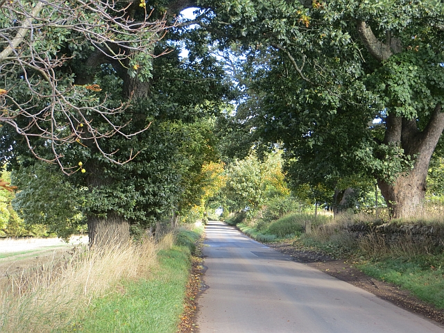
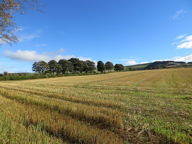
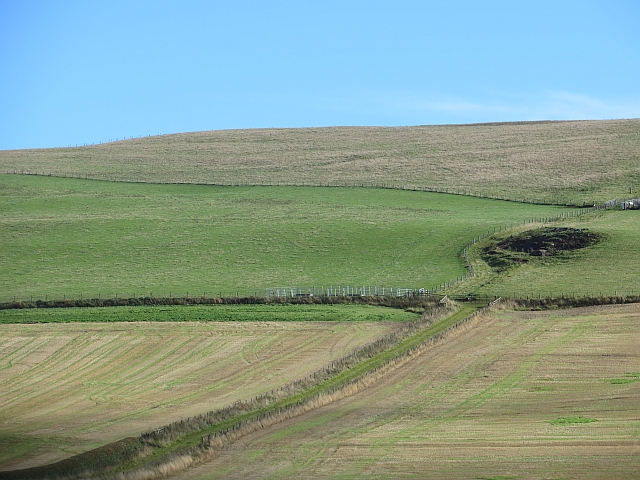
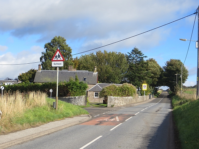
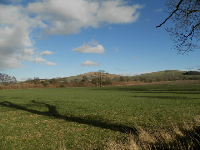
Nevay is a small rural village located in the North of Angus, Scotland. Situated amidst picturesque countryside, it lies about 6 miles northwest of the town of Forfar. The village is nestled within the Angus Glens, offering stunning views of rolling hills, lush green fields, and meandering streams.
With a population of around 150 people, Nevay is a close-knit community where residents enjoy a peaceful and idyllic way of life. The village predominantly consists of traditional stone-built houses, which add to its charm and character. The village also boasts a small but beautiful church, which serves as a focal point for community gatherings and events.
Nevay is surrounded by an abundance of natural beauty, making it a popular destination for outdoor enthusiasts. The Angus Glens provide ample opportunities for hiking, cycling, and wildlife spotting. The nearby Loch of Lintrathen is a haven for birdwatchers, attracting a wide variety of species throughout the year.
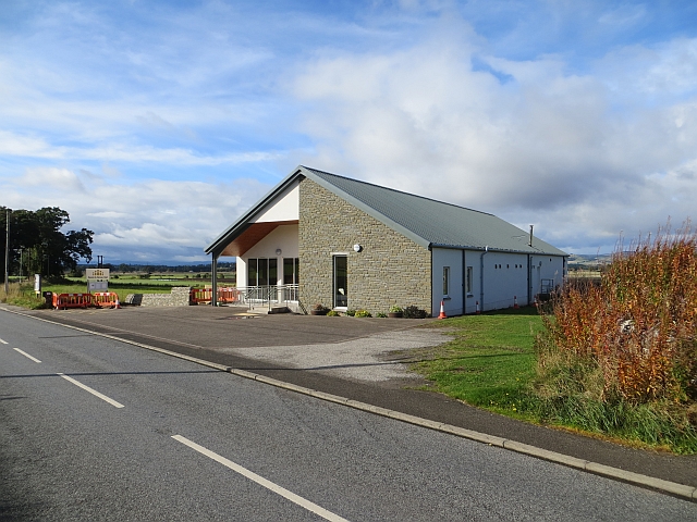
Although Nevay is a small village, it benefits from its proximity to larger towns such as Forfar and Kirriemuir. This ensures that residents have access to a range of amenities and services, including shops, supermarkets, schools, and healthcare facilities.
Overall, Nevay offers a tranquil and scenic escape from the hustle and bustle of city life. Its rural location, friendly community, and stunning surroundings make it an attractive place to live or visit for those seeking a peaceful retreat in the heart of Angus.
If you have any feedback on the listing, please let us know in the comments section below.
Nevay, North Images
Images are sourced within 2km of 56.582977/-3.1086294 or Grid Reference NO3244. Thanks to Geograph Open Source API. All images are credited.


Nevay, North is located at Grid Ref: NO3244 (Lat: 56.582977, Lng: -3.1086294)
Unitary Authority: Angus
Police Authority: Tayside
What 3 Words
///factoring.regulate.starch. Near Alyth, Perth & Kinross
Nearby Locations
Related Wikis
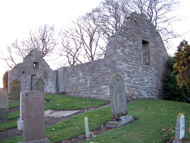
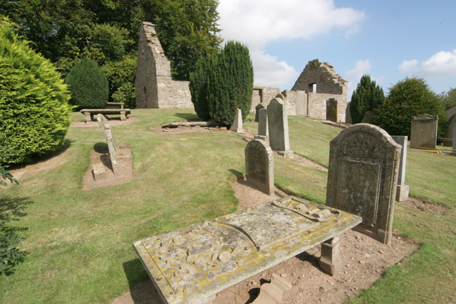
Nevay Church
Nevay Church is a ruined 16th century parish church located near the village of Kirkinch in Angus, Scotland. Originally dedicated to St Neveth, a church...
Kirkinch
Kirkinch, meaning 'kirk (church) on the island' in Scots and Gaelic, is a small village in Angus, Scotland. The 'island' is the knoll on which stand the...

Kirkinch railway station
Kirkinch railway station served the village of Kirkinch, Angus, Scotland, from 1838 to 1847 on the Newtyle, Eassie and Glamiss Railway. == History == The...
Balkeerie
Balkeerie is a village in Angus, Scotland north of Dundee. It has an elevation of 222 feet (68 m) above sea level. It is one mile (1.6 km) to the north...

Eassie
Eassie is a village located along the A94 road in Angus, Scotland. The church in Eassie is dedicated to Saint Fergus, a monk who worked at nearby Glamis...
Drumkilbo
Drumkilbo House is a listed stately home and garden near Meigle, Perth and Kinross, Scotland. == Location == Drumkilbo is located on the edge of the village...
Kinpurnie Hill
Kinpurnie Hill is one of the most famous hills of the Sidlaw range in south-east Perthshire. Kinpurnie Hill is located near Newtyle and is popular with...
Leason Hill railway station
Leason Hill railway station served the area of Newmill of Inshewan, Angus, Scotland, from 1838 to 1847 on the Newtyle, Eassie and Glamiss Railway. ��2...
Nearby Amenities
Located within 500m of 56.582977,-3.1086294Have you been to Nevay, North?
Leave your review of Nevay, North below (or comments, questions and feedback).