North Kyme

Settlement in Lincolnshire North Kesteven

England

North Kyme

The Plough Stripped down to the brick since last Geographed: <a href="https://www.geograph.org.uk/photo/4353407">TF1552 : The Plough, North Kyme</a>.
The Plough Credit: David Lally

North Kyme is a small village located in the county of Lincolnshire, England. Situated approximately 10 miles east of the town of Sleaford, it is nestled in the heart of the Lincolnshire Fens. The village is part of the North Kesteven district and falls within the civil parish of South Kyme.

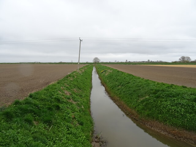
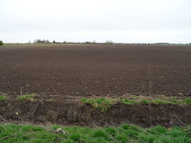
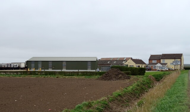
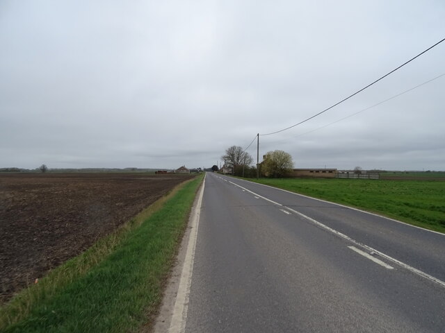
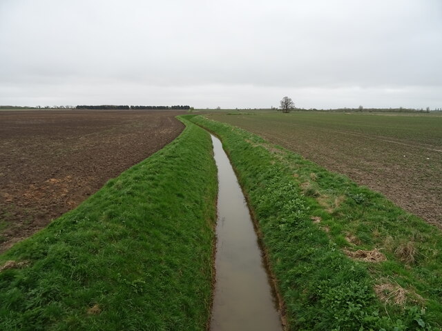
North Kyme is a rural settlement with a population of around 300 residents. It is known for its picturesque countryside, characterized by flat agricultural land and drainage channels. The landscape is dominated by vast fields, where farmers cultivate crops such as wheat, barley, and potatoes.

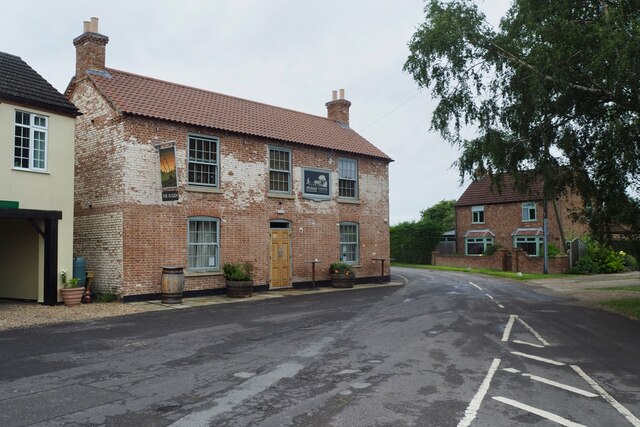
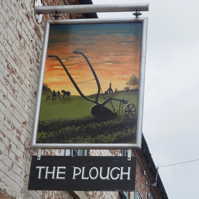
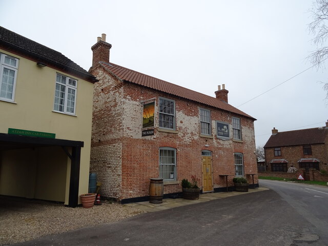
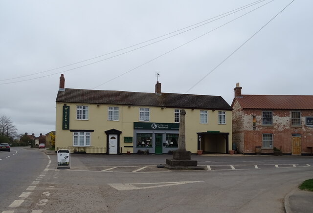
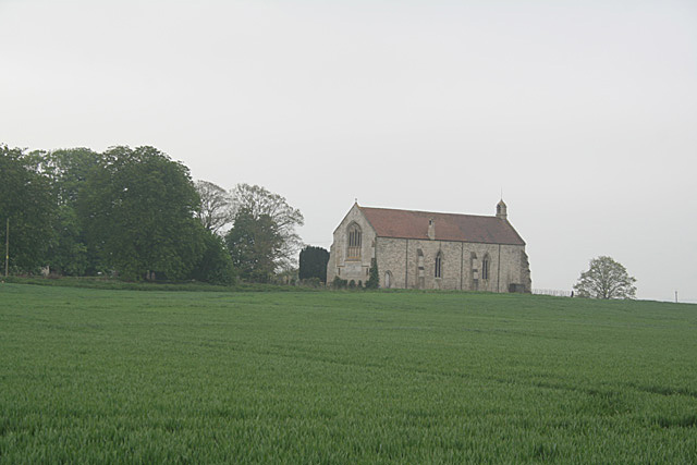
The village itself is rich in history and retains a charming, traditional atmosphere. It features a mix of architectural styles, with some buildings dating back to the 17th century. St. Luke's Church, a Grade I listed building, is a prominent landmark that adds to the village's historical significance.

North Kyme offers limited amenities, with a small village hall serving as a community hub for local events and gatherings. However, residents have easy access to nearby towns and villages for additional amenities, including schools, shops, and healthcare facilities.

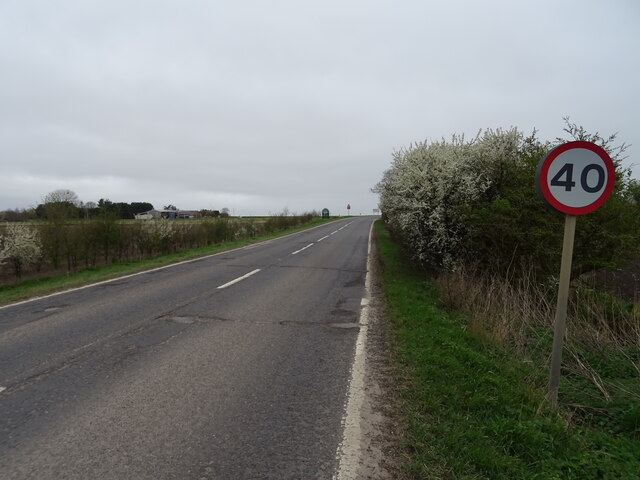
The village is well-connected by road, with the A153 running to the west, providing links to neighboring towns and cities. Public transportation options are limited, and many residents rely on private vehicles for commuting.

North Kyme is a tranquil and idyllic village, appealing to those seeking a peaceful rural lifestyle amidst the beauty of the Lincolnshire countryside.

If you have any feedback on the listing, please let us know in the comments section below.
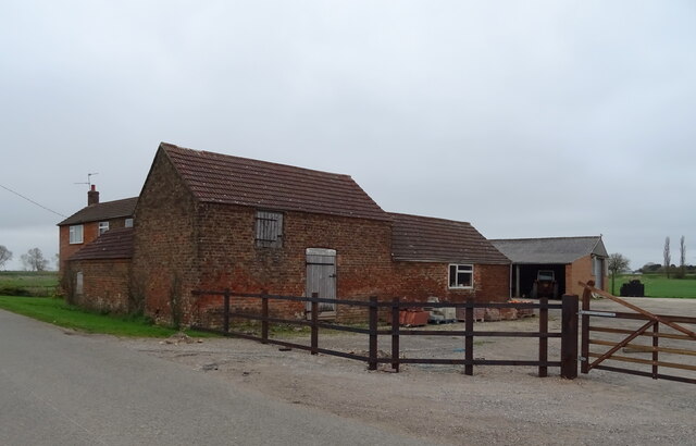
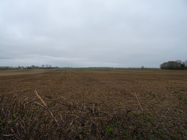
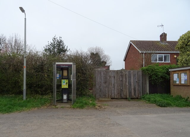
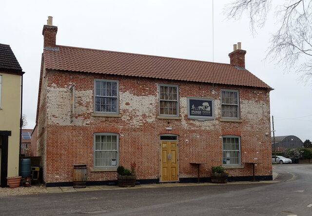
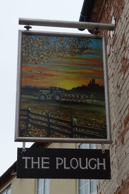
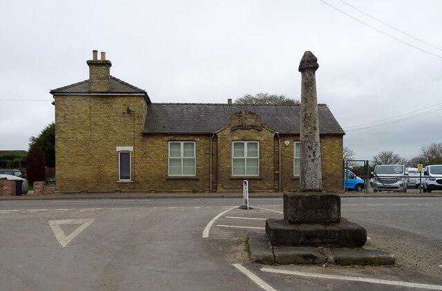
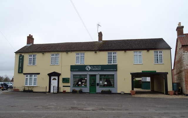
North Kyme Images

Images are sourced within 2km of 53.060068/-0.28083 or Grid Reference TF1552. Thanks to Geograph Open Source API. All images are credited.

The Plough Stripped down to the brick since last Geographed: <a href="https://www.geograph.org.uk/photo/4353407">TF1552 : The Plough, North Kyme</a>.
The Plough
Stripped down to the brick since last Geographed: TF1552 : The Plough, North Kyme.
The sign of The Plough See: <a href="https://www.geograph.org.uk/photo/6935405">TF1552 : The Plough</a>
The sign of The Plough
Missing defibrillator A repurposed BT telephone booth is no longer fit for purpose.
Missing defibrillator
A repurposed BT telephone booth is no longer fit for purpose.
Drain near White House Farm
Bridge Farm near North Kyme
Flat field off Main Street
Defibrillator in telephone kiosk on Main Street, North Kyme
The Plough, North Kyme
The Plough, North Kyme In 2014 - <a href="https://www.geograph.org.uk/photo/4353407">TF1552 : The Plough, North Kyme</a>
The Plough, North Kyme
Sign for the Plough, North Kyme
Village cross, North Kyme
ATZ & H Inn, North Kyme Formerly the Old Coach House Motel - <a href="https://www.geograph.org.uk/photo/4353402">TF1552 : Old Coach House Motel, North Kyme</a> and further back in time George Wilson's General Store <a href="https://www.geograph.org.uk/photo/542428">TF1552 : George Wilson's General Store</a>
ATZ & H Inn, North Kyme
Formerly the Old Coach House Motel - TF1552 : Old Coach House Motel, North Kyme and further back in time George Wilson's General Store TF1552 : George Wilson's General Store
Village cross and ATZ & H Inn, North Kyme The Plough public house to the right.
Village cross and ATZ & H Inn, North Kyme
The Plough public house to the right.
Flat farmland off Sleaford Road
Sleaford Road (A153) Towards North Kyme.
Sleaford Road (A153)
Towards North Kyme.
Fair View Farm
Fair View Farm
Sleaford Road (A153) Towards Anwick.
Sleaford Road (A153)
Towards Anwick.
Drain off Sleaford Road Near Farroway Farm.
Drain off Sleaford Road
Near Farroway Farm.
Show me another place!

North Kyme is located at Grid Ref: TF1552 (Lat: 53.060068, Lng: -0.28083)

Division: Parts of Kesteven

Administrative County: Lincolnshire

District: North Kesteven

Police Authority: Lincolnshire

What 3 Words

///submit.ponies.kiosk. Near Billinghay, Lincolnshire

Nearby Locations

North Kyme Kyme, North

Related Wikis

North Kyme

North Kyme is a village and civil parish in the North Kesteven district of Lincolnshire, England. The civil parish had a population of 431 at the 2011...

Billinghay

Billinghay is a village and civil parish in the North Kesteven district of Lincolnshire, England. The village is situated approximately 7 miles (11 km...

Kyme Priory

Kyme Priory was a priory in South Kyme, Lincolnshire, England. What remains of the buildings are now part of Saint Mary and All Saints Church. The Augustinian...

South Kyme

South Kyme is a small village and civil parish in the North Kesteven district of Lincolnshire, England. The population of the civil parish at the 2011...

Nearby Amenities

Located within 500m of 53.060068,-0.28083
Source: OS_OpenData _StreetView
Lat/Long: 53.0556429/-0.2820321
Source: OS_OpenData _StreetView
Lat/Long: 53.0577039/-0.2827991
Source: OS_OpenData _StreetView
Lat/Long: 53.0627944/-0.2863313
Source: OS_OpenData _StreetView
Lat/Long: 53.0621288/-0.2855867
Source: OS_OpenData _StreetView
Lat/Long: 53.0616565/-0.2843058
Source: OS_OpenData _StreetView
Lat/Long: 53.0612029/-0.2837898
Source: OS_OpenData _StreetView
Lat/Long: 53.0603794/-0.2838771
Source: OS_OpenData _StreetView
Lat/Long: 53.059828/-0.2838466
Source: OS_OpenData _StreetView
Lat/Long: 53.0591847/-0.2834127
North Kyme
Is In: Lincolnshire, England, UK
Place: village
Source: npe
Lat/Long: 53.0600406/-0.2824798
Source: OS_OpenData _StreetView
Lat/Long: 53.0595118/-0.2836874
Bus Stop
The Plough PH
Naptan AtcoCode: 2700LNKB5668
Naptan Bearing: SE
Naptan CommonName: The Plough PH
Naptan Indicator: adj
Naptan Landmark: The Plough PH
Naptan NaptanCode: lindwgag
Naptan Street: Main Street
Naptan Verified: no
Shelter: yes
Source: naptan_import
Lat/Long: 53.0593317/-0.2833859
Bus Stop
The Plough PH
Naptan AtcoCode: 2700LNKBS192
Naptan Bearing: NW
Naptan CommonName: The Plough PH
Naptan Indicator: opp
Naptan Landmark: The Plough
Naptan NaptanCode: linadgtm
Naptan Street: Main Street
Naptan Verified: no
Source: naptan_import
Lat/Long: 53.0593443/-0.2836391
Power: pole
Lat/Long: 53.0617122/-0.28405
Power: pole
Lat/Long: 53.0616461/-0.2850639
Power: pole
Lat/Long: 53.0615228/-0.2861394
Sandpit Farm
Place: farm
Source: Bing
Lat/Long: 53.0622913/-0.2870671
Home Farm
Place: farm
Source: Bing
Lat/Long: 53.057438/-0.2833803
Power: pole
Lat/Long: 53.0574107/-0.2857035
Power: pole
Lat/Long: 53.0570593/-0.2855051
Stop
Lat/Long: 53.0600737/-0.2808407
Telephone
Defibrillator
Booth: KX300
Covered: booth
Defibrillator Location: inside phone box opposite driver training car park North Kyme
Emergency: defibrillator
Man Made: telephone_box
Lat/Long: 53.0594188/-0.2833816
Post Box
Post Box Type: lamp
Lat/Long: 53.0587583/-0.2830443
Advertising: board
Lat/Long: 53.0588437/-0.2829772
Historic: memorial
Lat/Long: 53.0588937/-0.2830577
Defibrillator
Access: yes
Defibrillator Location: outside North Kyme Village Hall - to left of entrance
Emergency: defibrillator
Indoor: no
Lat/Long: 53.0607021/-0.2789847
The data included in this document is from www.openstreetmap.org. The data is made available under ODbL.

Have you been to North Kyme?

Leave your review of North Kyme below (or comments, questions and feedback).