Kingston, North

Settlement in Hampshire New Forest

England

Kingston, North

Crow Arch This bridge, known as 'Crow Arch' on the old LSWR 'Castleman's Corkscrew' line near Ringwood is approached by a steeply sloping road on either side - not for the faint-hearted when riding a bike!  Immediately past the bridge, the railway entered Ringwood Goods Yard before reaching the station.
Crow Arch Credit: Bob Walters

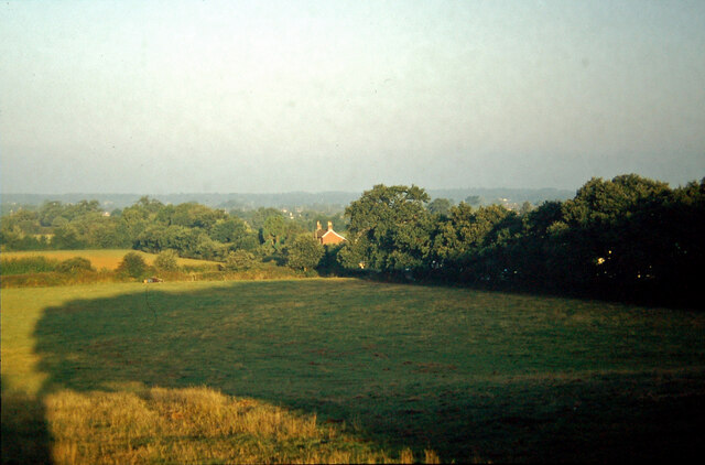
Kingston is a small village located in the North of Hampshire, England. Situated approximately 10 miles from the county town of Winchester, this quaint settlement is known for its picturesque surroundings and rich history.

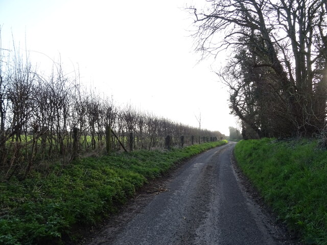
The village is nestled amidst the rolling hills and lush green countryside that characterizes the North Hampshire region. Its idyllic location offers residents and visitors a peaceful and serene environment, away from the hustle and bustle of larger towns and cities.

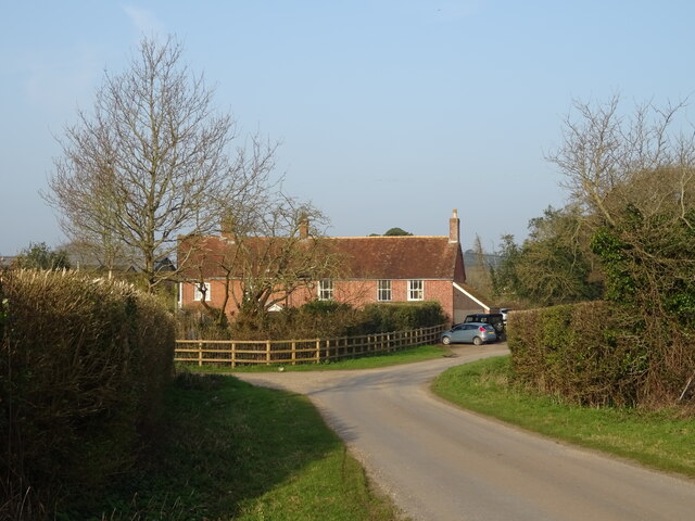
Kingston boasts a close-knit community, with a population of around 500 residents. The village is home to a charming church, St. Mary's, which dates back to the 13th century. The church is a focal point for many community events and gatherings.

Nature enthusiasts will appreciate the abundance of outdoor activities available in Kingston. The village is surrounded by beautiful walking and cycling trails that offer stunning views of the countryside. The nearby River Itchen provides opportunities for fishing and boating, adding to the village's charm.

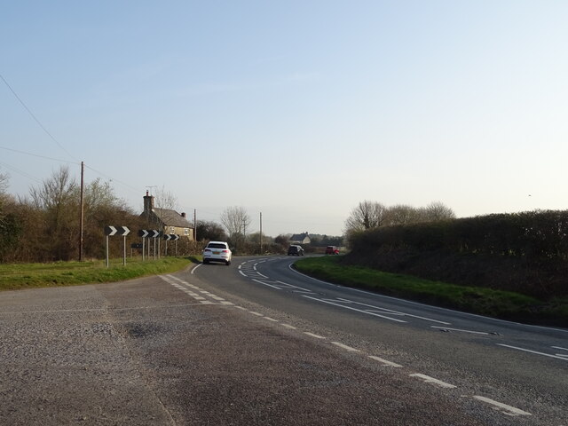
Despite its small size, Kingston offers a range of amenities to its residents. These include a village hall, a primary school, and a local pub that serves as a popular meeting place for locals. Additionally, the village is well-connected to larger towns and cities in the area, with regular bus services and road links.

Overall, Kingston, North Hampshire, is a tranquil and picturesque village that attracts those seeking a peaceful rural lifestyle, while still providing access to essential amenities and nearby urban centers.

If you have any feedback on the listing, please let us know in the comments section below.

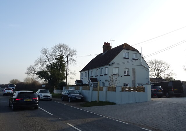
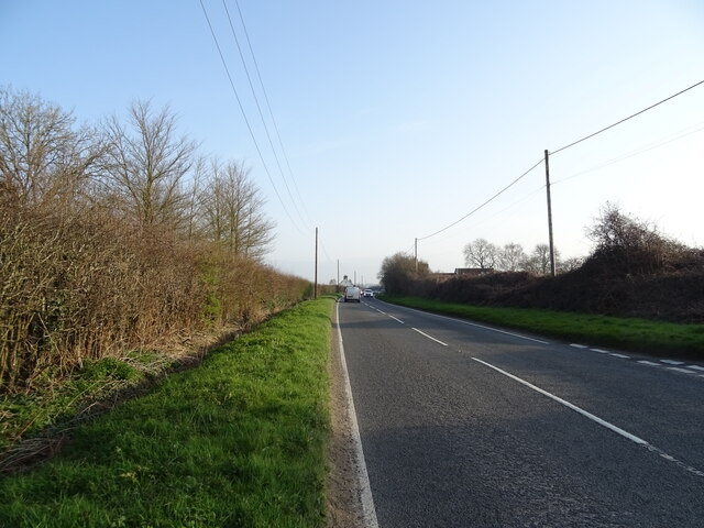
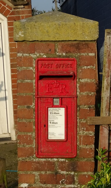
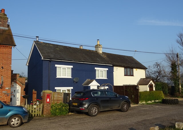
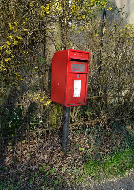
Kingston, North Images

Images are sourced within 2km of 50.824273/-1.771531 or Grid Reference SU1602. Thanks to Geograph Open Source API. All images are credited.

Crow Arch This bridge, known as 'Crow Arch' on the old LSWR 'Castleman's Corkscrew' line near Ringwood is approached by a steeply sloping road on either side - not for the faint-hearted when riding a bike!  Immediately past the bridge, the railway entered Ringwood Goods Yard before reaching the station.
Crow Arch
This bridge, known as 'Crow Arch' on the old LSWR 'Castleman's Corkscrew' line near Ringwood is approached by a steeply sloping road on either side - not for the faint-hearted when riding a bike! Immediately past the bridge, the railway entered Ringwood Goods Yard before reaching the station.
View from Charles Copse over Crow The house in the centre of the picture is the photographer's boyhood home, in Barrack Lane.  The bushes in the left centre are where the railway line from Brockenhurst to Ringwood passed.  Behind the trees in the centre is the site of No. 14 Crossing, the keeper's cottage now a pleasant bungalow.
View from Charles Copse over Crow
The house in the centre of the picture is the photographer's boyhood home, in Barrack Lane. The bushes in the left centre are where the railway line from Brockenhurst to Ringwood passed. Behind the trees in the centre is the site of No. 14 Crossing, the keeper's cottage now a pleasant bungalow.
Old railway bridge at Bagnum The abutments of the old railway underbridge at Bagnum still exist but the steel deck was removed when the track was dismantled in the 1960's.  Charles Lane passes through on its way to Charles Farm at the top of the hill and onwards towards Burley.
Old railway bridge at Bagnum
The abutments of the old railway underbridge at Bagnum still exist but the steel deck was removed when the track was dismantled in the 1960's. Charles Lane passes through on its way to Charles Farm at the top of the hill and onwards towards Burley.
Dragon Lane
Dragon Lane
Bend in the B3347, Kingston
Cottages, Kingston
Cottages, Kingston
Cottages on Christchurch Road
Christchurch Road (B3347) towards Ringwood
Grazing off Christchurch Road
Christchurch Road (B3347) towards Ringwood
Entering Ringwood on the B3347
Moortown Lodge B&B
Moortown Lodge B&B
Elizabeth II postbox on Christchurch Road Postbox No. BH24 20.
Elizabeth II postbox on Christchurch Road
Postbox No. BH24 20.
Houses on Christchurch Road
Lidl supermarket, Ringwood
Elizabeth II postbox, Kingston See <a title="https://www.geograph.org.uk/photo/7318306" href="https://www.geograph.org.uk/photo/7318306">Link</a> for context.
Postbox No. BH24 6.
Elizabeth II postbox, Kingston
See Link for context. Postbox No. BH24 6.
Cottages, Kingston See <a title="https://www.geograph.org.uk/photo/7318305" href="https://www.geograph.org.uk/photo/7318305">Link</a> for postbox.
Showing position of Postbox No. BH24 6.
Cottages, Kingston
See Link for postbox. Showing position of Postbox No. BH24 6.
Elizabeth II postbox, Bisterne See <a title="https://www.geograph.org.uk/photo/7318317" href="https://www.geograph.org.uk/photo/7318317">Link</a> for context.
Postbox No. BH24 36.
Elizabeth II postbox, Bisterne
See Link for context. Postbox No. BH24 36.
Show me another place!

Kingston, North is located at Grid Ref: SU1602 (Lat: 50.824273, Lng: -1.771531)

Administrative County: Hampshire

District: New Forest

Police Authority: Hampshire

What 3 Words

///named.coolest.changes. Near Ringwood, Hampshire

Related Wikis

Sandford, Hampshire

Sandford is a small hamlet in the New Forest National Park of Hampshire, England. The nearest town to Sandford is Ringwood, which is approximately 2.6...

RAF Bisterne

Royal Air Force Bisterne or more simply RAF Bisterne is a former Royal Air Force Advanced Landing Ground in Hampshire, England. The airfield is located...

Ringwood Town F.C.

Ringwood Town F.C. is a football club based in Ringwood, Hampshire, England. The club is affiliated to the Hampshire Football Association, and is a FA...

Bagnum

Bagnum is a hamlet in the English county of Hampshire. The settlement is within the civil parish of Ringwood (where the 2011 Census was included), and...

Crow, Hampshire

Crow is a small village situated in the New Forest National Park in Hampshire, England. Its nearest town is Ringwood, which lies approximately 1 mile...

Bisterne

Bisterne is a hamlet in the civil parish of Ringwood in the New Forest National Park in Hampshire, England. Its nearest town is Ringwood, which lies 3...

Ringwood railway station

Ringwood is a closed railway station in the county of Hampshire, England which served the town of Ringwood. It lay on the former Southampton and Dorchester...

Hightown, Hampshire

Hightown is a village in the New Forest district of Hampshire, England. Its nearest town is Ringwood, which lies approximately 0.8 miles (1.3 km) north...

Nearby Amenities

Located within 500m of 50.824273,-1.771531
Barrier: stile
Lat/Long: 50.8285826/-1.7726772
Barrier: stile
Lat/Long: 50.8279892/-1.7689366
Barrier: stile
Lat/Long: 50.8279962/-1.7690183
Post Box
Operator: Royal Mail
Operator Wikidata: Q638098
Ref: BH24 34
Lat/Long: 50.8203281/-1.7689674
North Kingston
Place: hamlet
Lat/Long: 50.824858/-1.7698763
Stocks Green
Place: locality
Lat/Long: 50.8244136/-1.768814
Give Way
Direction: backward
Traffic Sign: GB:1003A
Lat/Long: 50.8241839/-1.7698061
Give Way
Direction: forward
Traffic Sign: GB:1003A
Lat/Long: 50.8243268/-1.7698191
Give Way
Direction: backward
Traffic Sign: GB:1003A
Lat/Long: 50.8243256/-1.7696995
Give Way
Direction: backward
Traffic Sign: GB:1003A
Lat/Long: 50.8244395/-1.7693943
Give Way
Direction: forward
Traffic Sign: GB:1003A
Lat/Long: 50.824704/-1.7688977
Give Way
Direction: backward
Traffic Sign: GB:1003A
Lat/Long: 50.8242749/-1.7685227
The data included in this document is from www.openstreetmap.org. The data is made available under ODbL.

Have you been to Kingston, North?

Leave your review of Kingston, North below (or comments, questions and feedback).