Hayling, North

Settlement in Hampshire Havant

England

Hayling, North

Hayling Billy line The remains of the Hayling Billy Railway line crossing from Havant to Hayling island. The final train ran on Saturday 2 November 1963
Hayling Billy line Credit: Jackie OHalloran

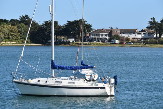
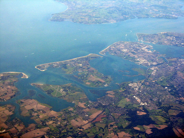
Hayling, North, Hampshire is a small coastal village located in the county of Hampshire, England. Situated on Hayling Island, it is surrounded by the waters of the Solent and Langstone Harbour, offering breathtaking coastal views and a tranquil atmosphere.

Hayling is a popular destination for tourists and locals alike, thanks to its beautiful beaches and recreational activities. The island boasts several kilometers of sandy beaches, making it a haven for sunbathers, swimmers, and water sports enthusiasts. Windsurfing and kiteboarding are particularly popular due to the favorable conditions provided by the strong winds that sweep across the island.

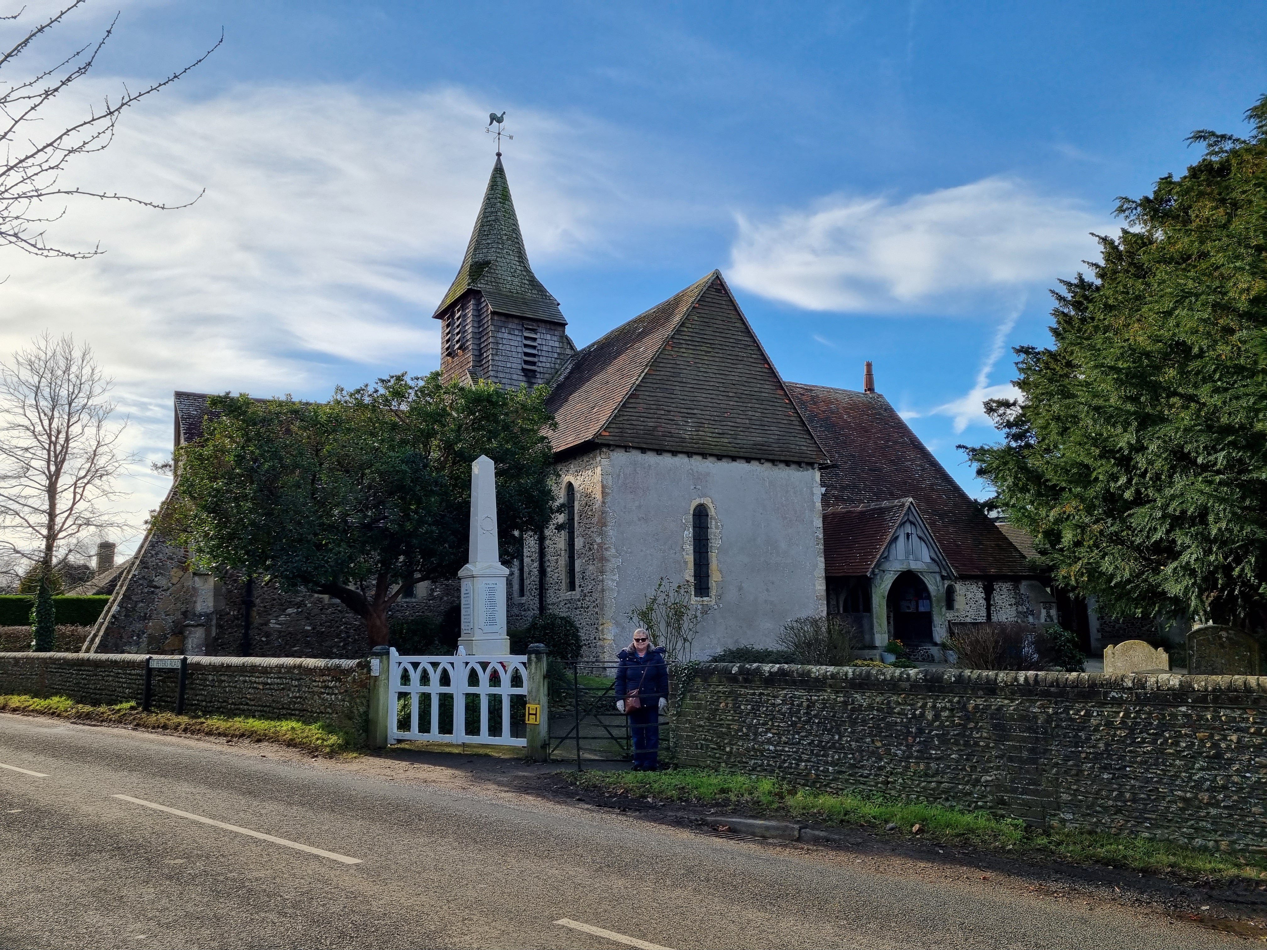
The village itself is a charming mix of old and new, with a range of amenities and facilities to cater to residents and visitors. It has a variety of shops, cafes, and restaurants, as well as a post office, library, and primary school. The village also has good transport links, with regular bus services connecting it to nearby towns and cities.

Hayling is known for its strong sense of community, with various events and festivals held throughout the year. The annual Hayling Island Show showcases local talent, crafts, and produce, while the Hayling Carnival Parade brings vibrant colors and excitement to the streets.

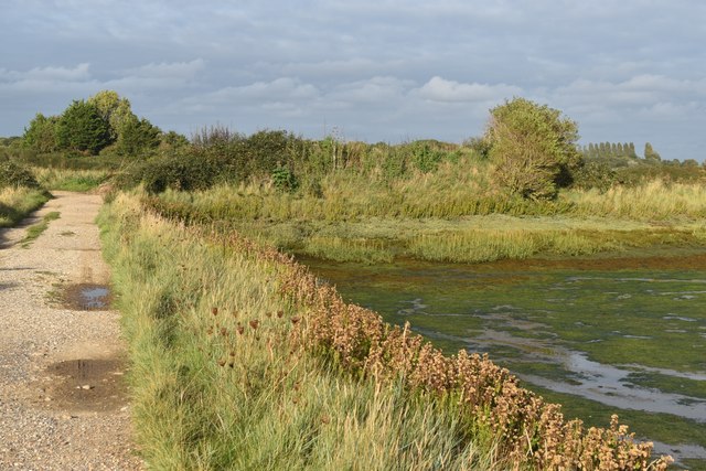
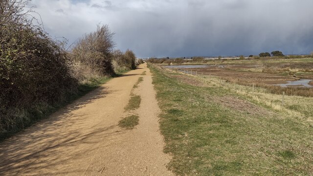
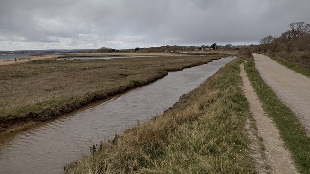
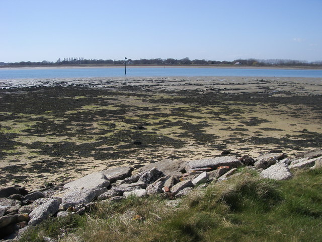
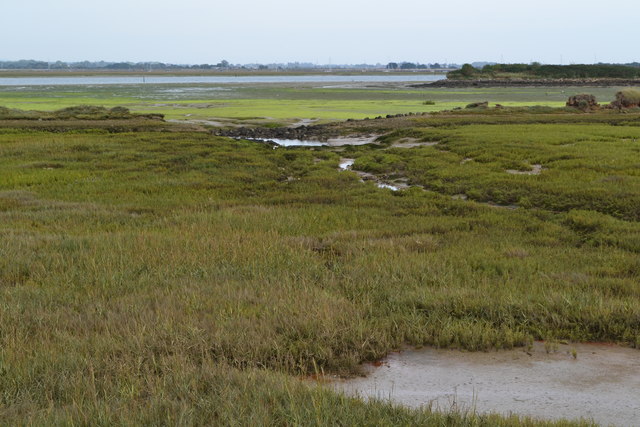
For nature lovers, Hayling offers numerous opportunities to explore the surrounding natural beauty. The island boasts several nature reserves, such as the Hayling Billy Coastal Path and the Langstone Harbour Nature Reserve, which provide habitats for a wide range of bird species and other wildlife.

Overall, Hayling, North, Hampshire is a charming coastal village that offers a perfect blend of natural beauty, community spirit, and recreational activities, making it an attractive destination for both residents and visitors.

If you have any feedback on the listing, please let us know in the comments section below.

Hayling, North Images

Images are sourced within 2km of 50.823195/-0.960724 or Grid Reference SU7303. Thanks to Geograph Open Source API. All images are credited.

Hayling Billy line The remains of the Hayling Billy Railway line crossing from Havant to Hayling island. The final train ran on Saturday 2 November 1963
Hayling Billy line
The remains of the Hayling Billy Railway line crossing from Havant to Hayling island. The final train ran on Saturday 2 November 1963
Mud flats at Bridge Lake The remains of the Langston Harbour rail bridge are visible across the centre of the view. The poor state of the bridge led to the closure of the Hayling branch line in 1963 (but I'm sure, if not for the bridge, another reason to close the line would have been found!). Although much of the bridge infrastructure remains, it cannot be used to cross to the island. There have been recent calls to rebuild it, at a minimum as a walkway, but that seems unlikely in the near future, given the financial constraints which currently prevail. The road bridge to the island is visible on the left.
Mud flats at Bridge Lake
The remains of the Langston Harbour rail bridge are visible across the centre of the view. The poor state of the bridge led to the closure of the Hayling branch line in 1963 (but I'm sure, if not for the bridge, another reason to close the line would have been found!). Although much of the bridge infrastructure remains, it cannot be used to cross to the island. There have been recent calls to rebuild it, at a minimum as a walkway, but that seems unlikely in the near future, given the financial constraints which currently prevail. The road bridge to the island is visible on the left.
North Hayling, St Peter
View from Langstone Bridge to Langstone Quays Resort
Evening sunlight at Mill Rythe Creek Photographed from within the caravan site: not a public path.
Evening sunlight at Mill Rythe Creek
Photographed from within the caravan site: not a public path.
Hayling Billy Line Hayling Billy Line (old railway between Hayling and Havant) path heading to the Bridge car park
Hayling Billy Line
Hayling Billy Line (old railway between Hayling and Havant) path heading to the Bridge car park
Hayling Billy Line The Hayling Billy Line path heading to the Victoria Road car park
Hayling Billy Line
The Hayling Billy Line path heading to the Victoria Road car park
Hayling Island viewed from above the South Downs With the Isle of Wight and The Solent beyond. Thorney Island, with the airfield, is on the left.
Hayling Island viewed from above the South Downs
With the Isle of Wight and The Solent beyond. Thorney Island, with the airfield, is on the left.
View across Sweare Deepe Chichester Harbour from The Ship Inn Langstone
View across Sweare Deepe
Chichester Harbour from The Ship Inn Langstone
Langstone road bridge across the harbour This is the only access by road to Hayling Island
Langstone road bridge across the harbour
This is the only access by road to Hayling Island
Marker Point Marker Point looking out to the marker in the Emsworth Channel
Marker Point
Marker Point looking out to the marker in the Emsworth Channel
Coast Path Coast path by Emsworth Channel heading toward Marker Point
Coast Path
Coast path by Emsworth Channel heading toward Marker Point
Coast Path Coast Path heading towards the gated entrance on to Thorney Island at Wickor Point
Coast Path
Coast Path heading towards the gated entrance on to Thorney Island at Wickor Point
2016: a year on Geograph (Day 125) Looking from Hayling Island's most north-westerly car-park towards Langstone Bridge
2016: a year on Geograph (Day 125)
Looking from Hayling Island's most north-westerly car-park towards Langstone Bridge
Tidal mudflats near Northney
Houses at Northney, seen across field
St.Peter's Church, North Hayling
Puddles beside farm track near North Hayling
Show me another place!

Hayling, North is located at Grid Ref: SU7303 (Lat: 50.823195, Lng: -0.960724)

Administrative County: Hampshire

District: Havant

Police Authority: Hampshire

What 3 Words

///track.caressing.broccoli. Near Emsworth, Hampshire

Related Wikis

Northney

Northney is a village on north Hayling island in the borough of Havant in the county of Hampshire, England. It is on the north coast of the island, east...

Havant (UK Parliament constituency)

Havant () is a constituency in Hampshire represented in the House of Commons of the UK Parliament since 2015 by Alan Mak, a member of the Conservative...

Stoke, Hayling Island

Stoke is a village on Hayling Island in the Havant district, in the county of Hampshire, England. The village lies on the Havant A3023 road between North...

Fleet, Hayling Island

Fleet is a hamlet near Stoke on Hayling Island in Hampshire, England. The hamlet lies approximately 5.1 miles (8.2 km) east from Portsmouth and 1.6 miles...

Nearby Amenities

Located within 500m of 50.823195,-0.960724
North Hayling
Created By: Potlatch 0.10f
Is In: Hampshire
Place: village
Source: npe
Lat/Long: 50.823726/-0.9631334
Bus Stop
St. Peters Avenue
Bus: yes
Naptan AtcoCode: 1900HA070082
Naptan Bearing: N
Naptan CommonName: St. Peters Avenue
Naptan Crossing: St Peter's Avenue
Naptan Landmark: O/s Old Abbey
Naptan NaptanCode: hamgpdtj
Naptan PlusbusZoneRef: HAVANT
Naptan Street: St Peter's Road
Naptan Verified: no
Public Transport: platform
Source: naptan_import
Lat/Long: 50.8213062/-0.9626353
Post Box
Collection Plate: CP7
Collection Times: Mo-Fr 17:45; Sa 11:15
Post Box Type: wall
Ref: PO11 14
Royal Cypher: EIIR
Royal Cypher Wikidata: Q33102113
Lat/Long: 50.8238766/-0.9634642
Booth: K6
Information: terminal
Note: This telephone box no longer has telephone equipment but is called "Northney Visitor Centre" and is an information stand.
Source: survey
Tourism: information
Lat/Long: 50.8236665/-0.9636842
Cafe
Northney Farm Tea Room
Addr City: Northney, Hayling Island
Addr Postcode: PO11 0RX
Addr Street: St Peter's Road
Opening Hours: 10:00-17:00
Phone: +44 2392 467607
Website: https://northneyfarmtearooms.com/
Lat/Long: 50.8271619/-0.9625071
Defibrillator
Defibrillator Location: Outside on north facing wall
Emergency: defibrillator
Indoor: no
Ref GB The Circuit: 08FE0D0C-0BCE-43D8-930A-AF570089DF66
Lat/Long: 50.8272761/-0.9625459
Historic: memorial
Memorial: war_memorial
Lat/Long: 50.8238027/-0.9635729
Barrier: kissing_gate
Material: wood
Lat/Long: 50.8239942/-0.964395
Barrier: kissing_gate
Material: wood
Lat/Long: 50.8233783/-0.9643514
Bench
Backrest: yes
Material: wood
Seats: 2
Lat/Long: 50.8236863/-0.9644063
Footpath Connects to Churchyard Here
Tourism: viewpoint
Lat/Long: 50.8232728/-0.9643442
Access: permissive
Drinking Water: yes
Man Made: water_tap
Lat/Long: 50.8237764/-0.9643766
The data included in this document is from www.openstreetmap.org. The data is made available under ODbL.

Have you been to Hayling, North?

Leave your review of Hayling, North below (or comments, questions and feedback).