End, North

Settlement in Bedfordshire

England

End, North

Farmland near Bourne End
Farmland near Bourne End Credit: JThomas

End is a small village located in the northern part of Bedfordshire, England. Situated in a rural setting, the village is surrounded by picturesque countryside and offers a peaceful and serene environment. It is located approximately 10 miles north of the county town, Bedford.

The village of End is home to a relatively small population, with a close-knit community that is known for its friendly and welcoming nature. The village features a range of traditional English cottages and houses, giving it a charming and traditional feel. The architecture in the area reflects the historical significance of the village, with some buildings dating back several centuries.

End is well-connected to neighboring towns and villages, making it an ideal location for those looking to enjoy a rural lifestyle while still having easy access to amenities. The village is served by local bus routes, providing convenient transportation options for residents.

In terms of amenities, End is home to a local pub, providing a social hub for villagers and visitors alike. The pub often hosts community events and gatherings, fostering a strong sense of community spirit. Additionally, the village is in close proximity to a range of shops, schools, and recreational facilities, ensuring that residents have all the necessary amenities within reach.

Overall, End is a tranquil and idyllic village, offering a peaceful lifestyle in a beautiful countryside setting. Its close-knit community and charming architecture make it an attractive place to live for those seeking a slower pace of life.

If you have any feedback on the listing, please let us know in the comments section below.
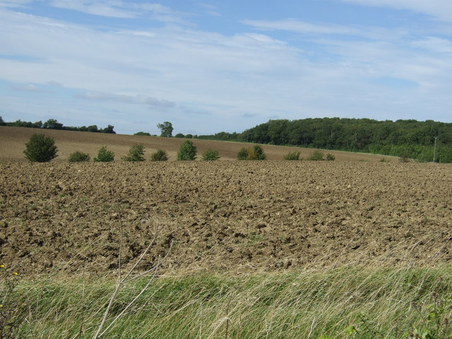
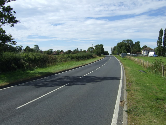
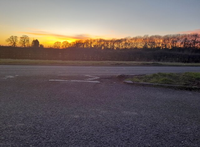
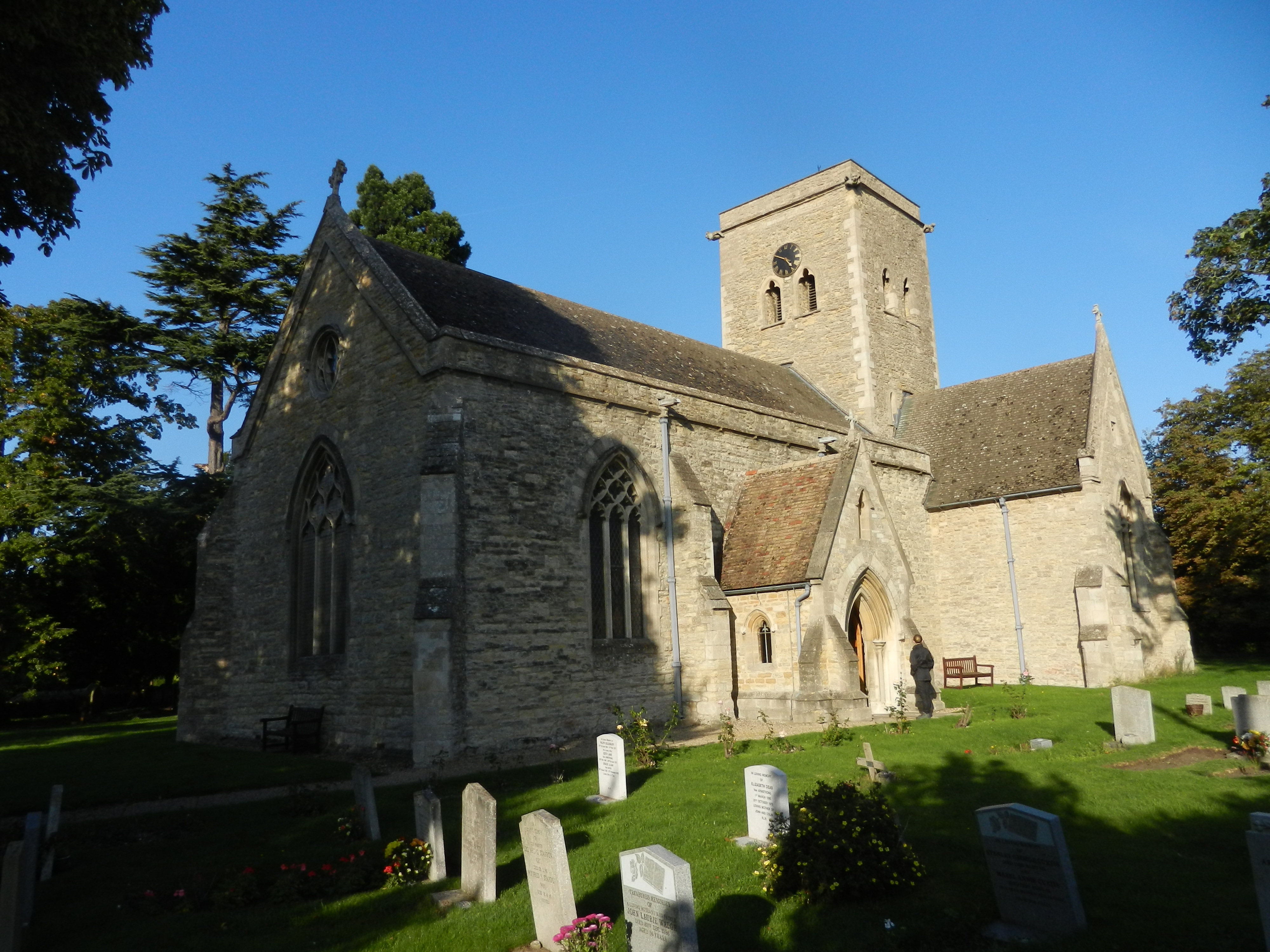
End, North Images

Images are sourced within 2km of 52.224598/-0.501544 or Grid Reference TL0259. Thanks to Geograph Open Source API. All images are credited.

Farmland near Bourne End
Road towards Bourne End and the A6 The A6 is one of the main historic north south roads in England. At 299 miles long it is the fourth longest road in the country. It currently runs from Luton in Bedfordshire to Carlisle in Cumbria, although it formerly started at a junction with the A1 at Barnet.
Wikipedia: <span class="nowrap"><a title="http://en.wikipedia.org/wiki/A6_road_(England)" rel="nofollow ugc noopener" href="http://en.wikipedia.org/wiki/A6_road_(England)">Link</a><img style="margin-left:2px;" alt="External link" title="External link - shift click to open in new window" src="https://s1.geograph.org.uk/img/external.png" width="10" height="10"/></span> 
See also <span class="nowrap"><a title="http://www.sabre-roads.org.uk/wiki/index.php?title=A6" rel="nofollow ugc noopener" href="http://www.sabre-roads.org.uk/wiki/index.php?title=A6">Link</a><img style="margin-left:2px;" alt="External link" title="External link - shift click to open in new window" src="https://s1.geograph.org.uk/img/external.png" width="10" height="10"/></span> for more route detail.
Road towards Bourne End and the A6
The A6 is one of the main historic north south roads in England. At 299 miles long it is the fourth longest road in the country. It currently runs from Luton in Bedfordshire to Carlisle in Cumbria, although it formerly started at a junction with the A1 at Barnet. Wikipedia: LinkExternal link See also LinkExternal link for more route detail.
Farmland towards Temple Wood
Minor road towards the A6 The A6 is one of the main historic north south roads in England. At 299 miles long it is the fourth longest road in the country. It currently runs from Luton in Bedfordshire to Carlisle in Cumbria, although it formerly started at a junction with the A1 at Barnet.
Wikipedia: <span class="nowrap"><a title="http://en.wikipedia.org/wiki/A6_road_(England)" rel="nofollow ugc noopener" href="http://en.wikipedia.org/wiki/A6_road_(England)">Link</a><img style="margin-left:2px;" alt="External link" title="External link - shift click to open in new window" src="https://s1.geograph.org.uk/img/external.png" width="10" height="10"/></span> 
See also <span class="nowrap"><a title="http://www.sabre-roads.org.uk/wiki/index.php?title=A6" rel="nofollow ugc noopener" href="http://www.sabre-roads.org.uk/wiki/index.php?title=A6">Link</a><img style="margin-left:2px;" alt="External link" title="External link - shift click to open in new window" src="https://s1.geograph.org.uk/img/external.png" width="10" height="10"/></span> for more route detail.
Minor road towards the A6
The A6 is one of the main historic north south roads in England. At 299 miles long it is the fourth longest road in the country. It currently runs from Luton in Bedfordshire to Carlisle in Cumbria, although it formerly started at a junction with the A1 at Barnet. Wikipedia: LinkExternal link See also LinkExternal link for more route detail.
Farmland towards kennels
A6 towards Rushden The A6 is one of the main historic north south roads in England. At 299 miles long it is the fourth longest road in the country. It currently runs from Luton in Bedfordshire to Carlisle in Cumbria, although it formerly started at a junction with the A1 at Barnet.
Wikipedia: <span class="nowrap"><a title="http://en.wikipedia.org/wiki/A6_road_(England)" rel="nofollow ugc noopener" href="http://en.wikipedia.org/wiki/A6_road_(England)">Link</a><img style="margin-left:2px;" alt="External link" title="External link - shift click to open in new window" src="https://s1.geograph.org.uk/img/external.png" width="10" height="10"/></span> 
See also <span class="nowrap"><a title="http://www.sabre-roads.org.uk/wiki/index.php?title=A6" rel="nofollow ugc noopener" href="http://www.sabre-roads.org.uk/wiki/index.php?title=A6">Link</a><img style="margin-left:2px;" alt="External link" title="External link - shift click to open in new window" src="https://s1.geograph.org.uk/img/external.png" width="10" height="10"/></span> for more route detail.
A6 towards Rushden
The A6 is one of the main historic north south roads in England. At 299 miles long it is the fourth longest road in the country. It currently runs from Luton in Bedfordshire to Carlisle in Cumbria, although it formerly started at a junction with the A1 at Barnet. Wikipedia: LinkExternal link See also LinkExternal link for more route detail.
In Deadmans Spinney
In Deadmans Spinney
Farmland towards Greenacres
Farmland east of Bourne End
Road towards Riseley
Farmland, Park Farm
Farmland, Park Farm
Twisty road towards Riseley
Coplowe Lane at the junction of Thurleigh Road
Parking area on Bedford Road, Sharnbrook Here is virtually the same view. <a title="https://www.geograph.org.uk/photo/6673615" href="https://www.geograph.org.uk/photo/6673615">Link</a>
Parking area on Bedford Road, Sharnbrook
Here is virtually the same view. Link
Sunset over Bedford Road, Sharnbrook
Bletsoe Road at the corner of Bourne End Lane
Riseley Road at the junction of Bletsoe Road
Thurleigh Road, Bletsoe
Show me another place!

End, North is located at Grid Ref: TL0259 (Lat: 52.224598, Lng: -0.501544)

Unitary Authority: Bedford

Police Authority: Bedfordshire

What 3 Words

///niece.courts.shuts. Near Sharnbrook, Bedfordshire

Related Wikis

Bletsoe Castle

Bletsoe Castle was a late medieval fortified manor house in the village of Bletsoe, Bedfordshire, England. == Details == Bletsoe Castle was created by...

Bletsoe

Bletsoe is a village and civil parish in Bedfordshire, England. It is on the A6, and about eight miles north of Bedford. The village has a small park,...

RAF Thurleigh

Royal Air Force Thurleigh or more simply RAF Thurleigh is a former Royal Air Force station located 5 miles (8.0 km) north of Bedford, Bedfordshire, England...

RAE Bedford

RAE Bedford was a research site of the Royal Aircraft Establishment between 1946 and 1994. It was located near the village of Thurleigh, north of the town...

Nearby Amenities

Located within 500m of 52.224598,-0.501544
Power: pole
Lat/Long: 52.2212397/-0.5054407
Power: pole
Lat/Long: 52.2214877/-0.504027
Power: pole
Lat/Long: 52.2217058/-0.5025645
Power: pole
Lat/Long: 52.2219453/-0.501095
Power: pole
Lat/Long: 52.2221805/-0.4996884
Power: pole
Lat/Long: 52.2226454/-0.499754
Power: pole
Lat/Long: 52.2230927/-0.4998094
Power: pole
Lat/Long: 52.2235646/-0.4998742
North End
Place: hamlet
Lat/Long: 52.223092/-0.5002112
The data included in this document is from www.openstreetmap.org. The data is made available under ODbL.

Have you been to End, North?

Leave your review of End, North below (or comments, questions and feedback).