End, North
Settlement in Bedfordshire
England
End, North
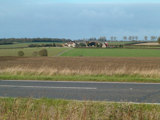
End is a small village located in the county of Bedfordshire, England. It is situated in the northern part of the county, near the border with Northamptonshire. The village lies approximately 6 miles north of the town of Bedford and is part of the civil parish of Riseley.
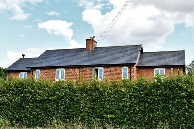
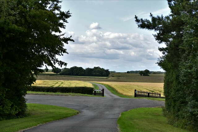
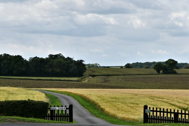
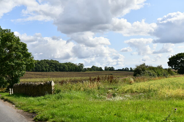
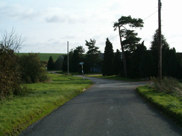
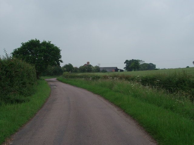
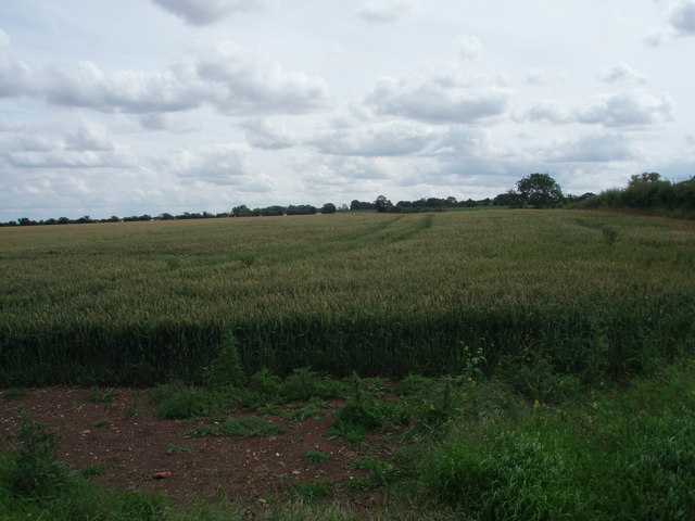
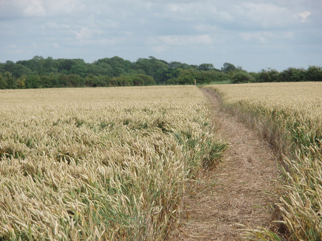
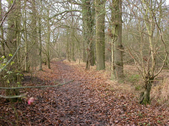
End is a rural settlement, characterized by its picturesque countryside and charming traditional architecture. The village is surrounded by rolling hills, green fields, and patches of woodland, offering a peaceful and idyllic setting. It is mainly residential, with a small population of around 200 residents.
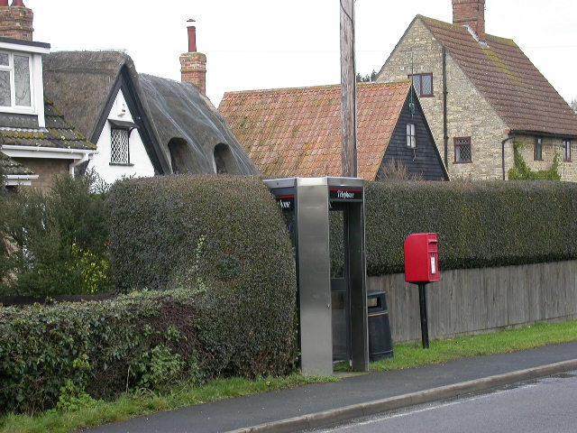
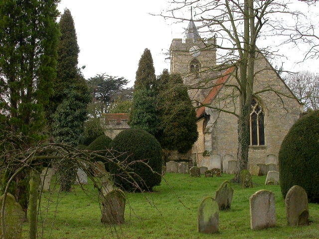
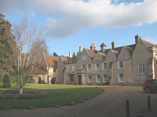
The village features a mix of old and new houses, ranging from quaint cottages to more modern properties. There is a small church, St. Mary's Church, which dates back to the 12th century and serves as a focal point for the community. Additionally, there is a community hall that hosts various events and gatherings throughout the year.
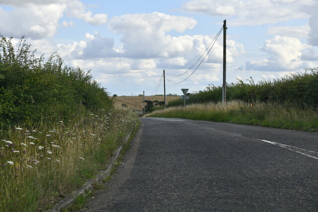
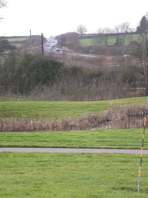
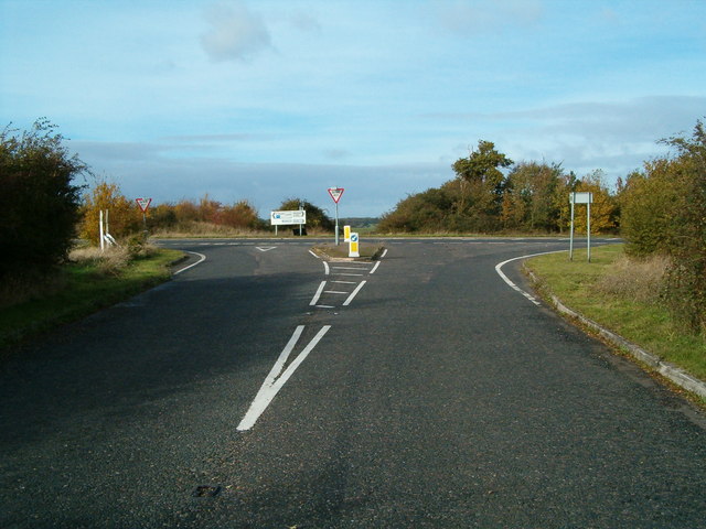
Despite its small size, End benefits from its proximity to larger towns and cities. Bedford, with its range of amenities including shops, restaurants, and leisure facilities, is easily accessible. The village is also well-connected by road, with the A6 passing nearby, providing convenient links to other parts of Bedfordshire and beyond.
Overall, End is a peaceful and charming village, offering a tranquil countryside lifestyle while still providing easy access to nearby towns and cities.
If you have any feedback on the listing, please let us know in the comments section below.
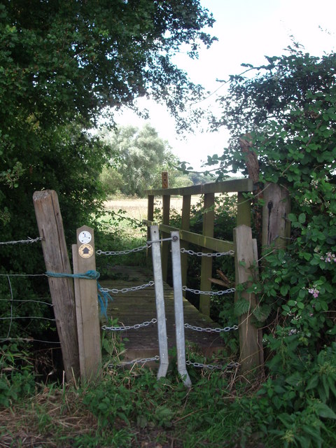
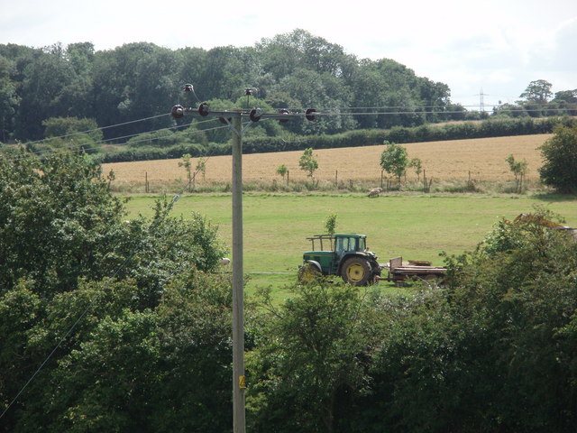
End, North Images
Images are sourced within 2km of 52.136325/-0.58676055 or Grid Reference SP9649. Thanks to Geograph Open Source API. All images are credited.
End, North is located at Grid Ref: SP9649 (Lat: 52.136325, Lng: -0.58676055)
Unitary Authority: Bedford
Police Authority: Bedfordshire
What 3 Words
///perfectly.beaten.chucks. Near Stagsden, Bedfordshire
Nearby Locations
Related Wikis

Church of St Leonard, Stagsden
Church of St Leonard is a Grade I listed church in Stagsden, Bedfordshire, England. It became a listed building on 13 July 1964. == See also == Grade...

Stagsden
Stagsden is a small but historic village and civil parish located in the Borough of Bedford, northwest Bedfordshire, England, near the Buckinghamshire...

Bedfordshire Golf Club
Bedfordshire Golf Club is a golf club to the east of Stagsden, Bedfordshire, England. Established in 1891, it is the oldest golf club in Bedfordshire....

Turvey railway station
Turvey was a railway station on the Bedford to Northampton Line which served the village of Turvey from 1872 to 1962. == History == Opened by the Bedford...
Astwood, Buckinghamshire
Astwood is a village in the unitary authority area of the City of Milton Keynes, Buckinghamshire, England. It is located on the border with Bedfordshire...
Hanger Wood
Hanger Wood is an ancient woodland and Site of Special Scientific Interest (SSSI) in the parish of Stagsden, Bedfordshire in the United Kingdom. Situated...
West End, Bedfordshire
West End is a hamlet located in the Borough of Bedford in Bedfordshire, England. The settlement is close to Carlton, Pavenham and Stevington. West End...
Turvey Abbey
Turvey Abbey is located in the village of Turvey in the English county of Bedfordshire. It is dated 1605 on the north facade and 1608 on the south facade...
Nearby Amenities
Located within 500m of 52.136325,-0.58676055Have you been to End, North?
Leave your review of End, North below (or comments, questions and feedback).