End, North

Settlement in Leicestershire Charnwood

England

End, North

Mountsorrel weir
Mountsorrel weir Credit: Neil Geering

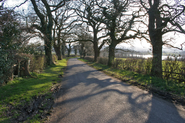
End is a small village located in the North of Leicestershire, England. Situated near the border with Nottinghamshire, it is part of the Melton district. The village is nestled within the scenic countryside, characterized by rolling hills and picturesque landscapes.

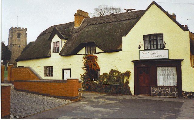
End is a predominantly residential area with a tight-knit community. The village is home to a small population, and its tranquil atmosphere attracts those seeking a peaceful rural lifestyle. The charming village cottages and well-maintained gardens contribute to the overall appeal of the area.

Despite its small size, End benefits from its proximity to nearby towns and cities. Melton Mowbray, known for its famous pork pies, is only a short drive away. Nottingham and Leicester, two major cities in the region, are also easily accessible, providing residents with a range of amenities and employment opportunities.

The village is surrounded by several natural attractions, making it an ideal location for outdoor enthusiasts. The nearby Belvoir Castle and Vale of Belvoir offer stunning views and opportunities for leisurely walks. For those interested in history, the nearby Belton House is a popular attraction, showcasing grand architecture and beautiful gardens.

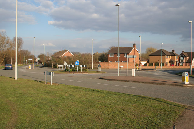
End enjoys good transport links, with the A606 road passing through the village, connecting it to nearby towns and cities. Public transportation options are also available, providing access to the wider region.

Overall, End offers a peaceful and idyllic setting for those seeking a rural lifestyle, while still providing access to nearby amenities and attractions.

If you have any feedback on the listing, please let us know in the comments section below.

End, North Images

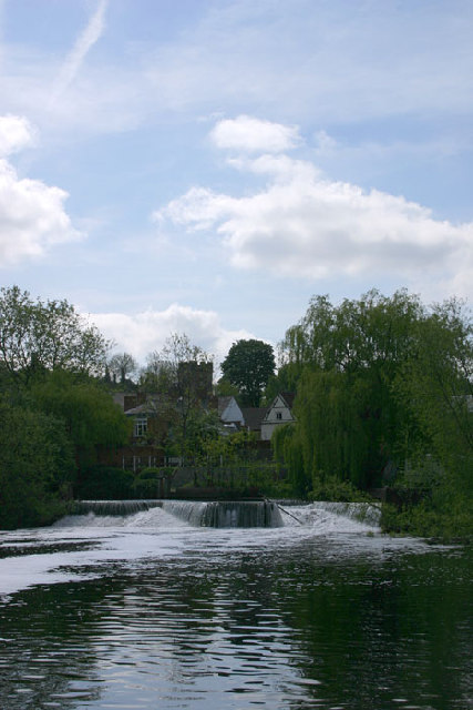
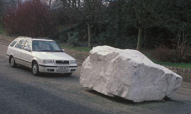
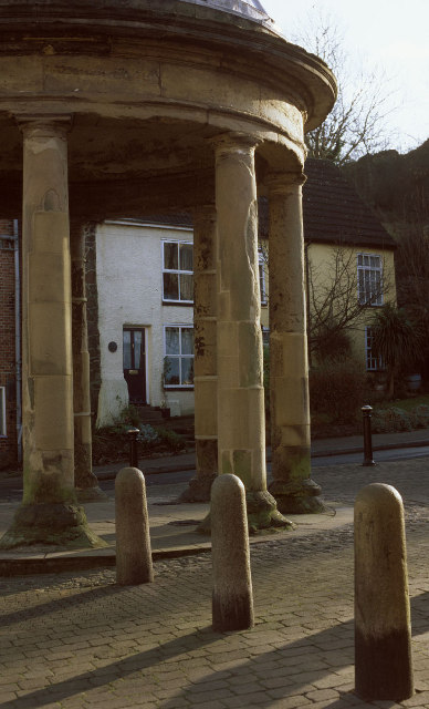
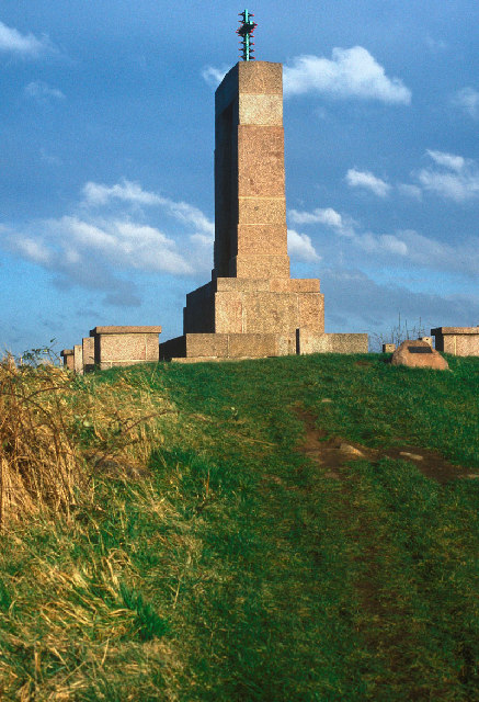
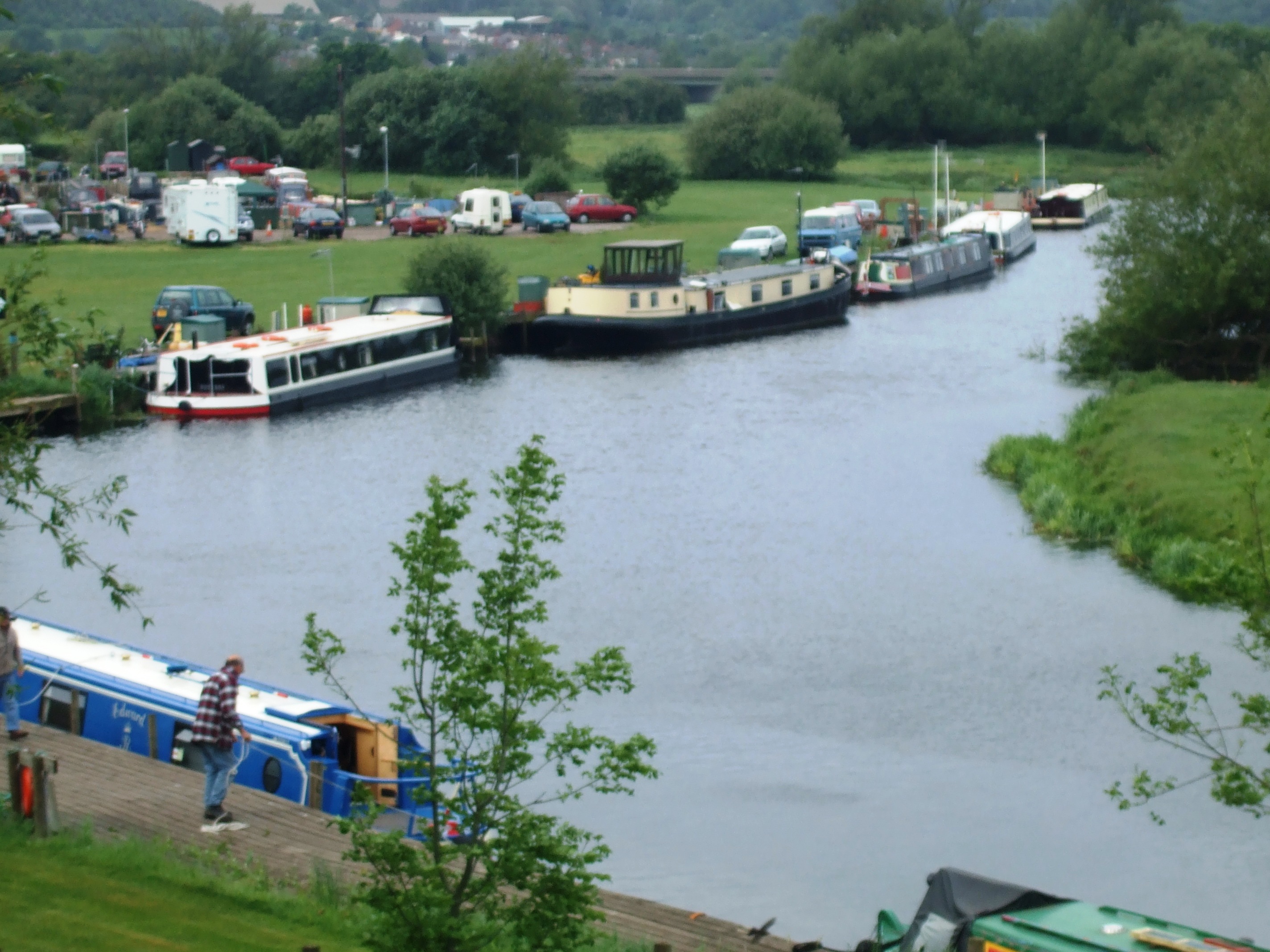
Images are sourced within 2km of 52.735479/-1.146884 or Grid Reference SK5715. Thanks to Geograph Open Source API. All images are credited.

Mountsorrel weir
Mountsorrel weir
Sileby Lock
Sileby Lock
Barrow Deep Lock On the Grand Union Canal - River Soar
Barrow Deep Lock
On the Grand Union Canal - River Soar
Large rock at Mountsorrel This is the access road to the roadstone quarry at Mountsorrel.
Large rock at Mountsorrel
This is the access road to the roadstone quarry at Mountsorrel.
Mountsorrel Butter Market
War Memorial Mountsorrel
Mist over the Soar Valley, Sileby
Barrow upon Soar - the bridge. Evening view from the towpath.
Barrow upon Soar - the bridge.
Evening view from the towpath.
Quorndon The Thatch Restaurant, The Wedding Path, Quorndon occupies part of an old thatched cottage. Note the straw fox and pheasant on the roof and church tower to left.
Quorndon
The Thatch Restaurant, The Wedding Path, Quorndon occupies part of an old thatched cottage. Note the straw fox and pheasant on the roof and church tower to left.
Roundabout on Halstead Road, Mountsorrel There is a great deal of new housing in Mountsorrel, transforming it from a sleepy village to a busy commuter area, handy for Leicester and Loughborough. This estate is built on Walton Way to the south west of the village.
Roundabout on Halstead Road, Mountsorrel
There is a great deal of new housing in Mountsorrel, transforming it from a sleepy village to a busy commuter area, handy for Leicester and Loughborough. This estate is built on Walton Way to the south west of the village.
Rough Farmland at Mountsorrel Looking from Halstead Road to Broad Hill. The Leicestershire Round Long Distance Path follows the base of foot hill
Rough Farmland at Mountsorrel
Looking from Halstead Road to Broad Hill. The Leicestershire Round Long Distance Path follows the base of foot hill
Kinchley Lane near Mountsorrel, Leicestershire This road leads down to Swithland Reservoir visible through the trees.
Kinchley Lane near Mountsorrel, Leicestershire
This road leads down to Swithland Reservoir visible through the trees.
Stone barn near Swithland Reservoir The iron railings in the foreground run along both sides of Kinchley Lane and round most of the reservoir. The hill behind the barn screens the huge quarry behind.
Stone barn near Swithland Reservoir
The iron railings in the foreground run along both sides of Kinchley Lane and round most of the reservoir. The hill behind the barn screens the huge quarry behind.
Swithland Reservoir from Kinchley Lane Looking towards the opposite bank in <a href="https://www.geograph.org.uk/gridref/SK5514">SK5514</a>
Swithland Reservoir from Kinchley Lane
Looking towards the opposite bank in SK5514
Kinchley Lane at Swithland Reservoir These trees form part of all that is left of Budden Wood which once covered most of Budden Hill. Now that the hill is being eaten into by a vast quarry they form a ring round the industrial site.
Kinchley Lane at Swithland Reservoir
These trees form part of all that is left of Budden Wood which once covered most of Budden Hill. Now that the hill is being eaten into by a vast quarry they form a ring round the industrial site.
Wood Lane between Rothley and Quorn, Leicestershire Looking SE from Budden Hill. The pylons are in <a href="https://www.geograph.org.uk/gridref/SK5714">SK5714</a>.
Wood Lane between Rothley and Quorn, Leicestershire
Looking SE from Budden Hill. The pylons are in SK5714.
Mountsorrel Quarry The entrance to the quarry that has turned Budden Hill into "Budden Hole". See <span class="nowrap"><a title="http://www.lafargerail.com/mountsorrel/mountsorrel.html" rel="nofollow ugc noopener" href="http://www.lafargerail.com/mountsorrel/mountsorrel.html">Link</a><img style="margin-left:2px;" alt="External link" title="External link - shift click to open in new window" src="https://s1.geograph.org.uk/img/external.png" width="10" height="10"/></span> for statistics and click on the video download to see the quarrying process. The entrance is in the featured square but the large building behind the trees is on the boundary with <a href="https://www.geograph.org.uk/gridref/SK5715">SK5715</a>.
Mountsorrel Quarry
The entrance to the quarry that has turned Budden Hill into "Budden Hole". See LinkExternal link for statistics and click on the video download to see the quarrying process. The entrance is in the featured square but the large building behind the trees is on the boundary with SK5715.
Entrance to Industrial Estate near Quorn This gateway is opposite the Lafarge Quarry in <a href="https://www.geograph.org.uk/gridref/SK5615">SK5615</a>
Entrance to Industrial Estate near Quorn
This gateway is opposite the Lafarge Quarry in SK5615
Show me another place!

End, North is located at Grid Ref: SK5715 (Lat: 52.735479, Lng: -1.146884)

Administrative County: Leicestershire

District: Charnwood

Police Authority: Leicestershire

What 3 Words

///structure.broken.outdone. Near Barrow upon Soar, Leicestershire

Nearby Locations

End, North North End

Related Wikis

Stonehurst Family Farm and Motor Museum

The Stonehurst Family Farm and Motor Museum is a working farm and a motor museum located in the village of Mountsorrel, Leicestershire. The farm won the...

Mountsorrel Railway

The Mountsorrel Railway was a network of industrial railway lines that served the granite quarries which dominate the Leicestershire village of Mountsorrel...

Moira Junction

Moira Junction is a 3.5-hectare (8.6-acre) Local Nature Reserve north of Moira in Leicestershire. It is owned and managed by Leicestershire County Council...

Soar Valley

The Soar Valley in Leicester- and Nottinghamshire, England is the basin of the River Soar, which rises south of Leicester and flows north through Charnwood...

Nearby Amenities

Located within 500m of 52.735479,-1.146884
Mountsorrel
Place: village
Lat/Long: 52.7322858/-1.1427158
Cafe
Stonehurst Farm Cafe
Operator: Stonehurst Farm
Lat/Long: 52.7326641/-1.1461805
Bus Stop
Cemetery
Bus: yes
Naptan AtcoCode: 260007500
Naptan Bearing: SE
Naptan CommonName: Cemetery
Naptan Indicator: opposite
Naptan Landmark: Cemetery
Naptan NaptanCode: leiagdtd
Naptan Notes: Hourly - County
Naptan Street: Loughborough Road
Naptan Verified: no
Public Transport: platform
Source: naptan_import
Lat/Long: 52.7375613/-1.153164
Bus Stop
Hawcliffe Road
Bus: yes
Naptan AtcoCode: 260007501
Naptan Bearing: SE
Naptan CommonName: Hawcliffe Road
Naptan Indicator: adj
Naptan Landmark: Budgens & opp Social Services Laundry
Naptan NaptanCode: leiagdtg
Naptan Notes: Hourly - County
Naptan Street: Loughborough Road
Naptan Verified: no
Public Transport: platform
Source: naptan_import
Lat/Long: 52.7361645/-1.1501844
Bus Stop
Bradgate Close
Bus: yes
Naptan AtcoCode: 260007502
Naptan Bearing: SE
Naptan CommonName: Bradgate Close
Naptan Indicator: adj
Naptan Landmark: 154 Loughborough Road
Naptan NaptanCode: leiagdtj
Naptan Notes: Hourly - County
Naptan Street: Loughborough Road
Naptan Verified: no
Public Transport: platform
Source: naptan_import
Lat/Long: 52.7344743/-1.1476699
Bus Stop
Bond Lane
Bus: yes
Naptan AtcoCode: 260007503
Naptan Bearing: SE
Naptan CommonName: Bond Lane
Naptan Indicator: adj
Naptan Landmark: Francis Honda & before railway bridge
Naptan NaptanCode: leiagdtm
Naptan Notes: Hourly - County
Naptan Street: Loughborough Road
Naptan Verified: no
Public Transport: platform
Source: naptan_import
Lat/Long: 52.7321968/-1.1441188
Bus Stop
Railway Inn
Bus: yes
Naptan AtcoCode: 260007505
Naptan Bearing: NW
Naptan CommonName: Railway Inn
Naptan Indicator: outside
Naptan Landmark: 83 Loughborough Road
Naptan NaptanCode: leiadwmp
Naptan Notes: Hourly - County
Naptan Street: Loughborough Road
Naptan Verified: no
Public Transport: platform
Source: naptan_import
Lat/Long: 52.7316928/-1.1434293
Bus Stop
North End
Bus: yes
Naptan AtcoCode: 260007506
Naptan Bearing: NW
Naptan CommonName: North End
Naptan Indicator: outside
Naptan Landmark: 169/171 Loughborough Road
Naptan NaptanCode: leiadwmt
Naptan Notes: Hourly - County
Naptan Street: Loughborough Road
Naptan Verified: no
Public Transport: platform
Source: naptan_import
Lat/Long: 52.7338596/-1.1471931
Barrier: stile
Note: waymark post
Lat/Long: 52.7330563/-1.1428747
Barrier: stile
Note: waymark post
Lat/Long: 52.7352667/-1.1444559
Note: waymark post
Lat/Long: 52.735493/-1.1445689
Barrier: stile
Note: waymark post
Lat/Long: 52.7354239/-1.144763
Barrier: stile
Lat/Long: 52.734138/-1.145309
Stonehurst Family Farm and Motor Museum
Operator: Stonehurst Farm
Operator Website: https://www.stonehurstfarm.co.uk/
Tourism: attraction
Lat/Long: 52.7327193/-1.1467143
Parking
Access: customers
Lat/Long: 52.7322044/-1.1462744
Stonehurst Motor Museum
Operator: Stonehurst Farm
Tourism: museum
Website: https://www.stonehurstfarm.co.uk/info/motor-museum/
Lat/Long: 52.7325456/-1.146607
Stonehurst Farm Shop
Operator: Stonehurst Farm
Shop: farm
Lat/Long: 52.7325715/-1.1462716
Crossing
Crossing: uncontrolled
Lat/Long: 52.734843/-1.1527619
Crossing
Crossing: uncontrolled
Lat/Long: 52.7353466/-1.1531232
Power: tower
Lat/Long: 52.7352879/-1.1542916
Power: pole
Lat/Long: 52.7332104/-1.1519276
Power: pole
Lat/Long: 52.732978/-1.1507682
Power: pole
Lat/Long: 52.7327038/-1.1495003
Power: pole
Lat/Long: 52.7325426/-1.1487085
Power: pole
Lat/Long: 52.7323591/-1.1478343
Power: pole
Lat/Long: 52.7320201/-1.1466623
Catalyst Computer Systems Ltd
Addr City: Mountsorrel
Addr Housename: Grantie House
Addr Housenumber: 58
Addr Postcode: LE12 7AT
Addr Street: Loughborough Road
Brand: Platinum
Opening Hours: Mo-Fr 09:00-17:30
Payment Cash: yes
Payment Credit Cards: yes
Shop: computer
Lat/Long: 52.7327382/-1.1448489
Parking
Access: customers
Operator: Catalyst Computer Systems Ltd
Parking: surface
Surface: concrete
Lat/Long: 52.7328661/-1.1447038
Generator Method: photovoltaic
Generator Output Electricity: yes
Generator Source: solar
Generator Type: solar_photovoltaic_panel
Location: roof
Power: generator
Lat/Long: 52.7330906/-1.1446676
Generator Method: photovoltaic
Generator Output Electricity: yes
Generator Source: solar
Generator Type: solar_photovoltaic_panel
Location: roof
Power: generator
Lat/Long: 52.7332043/-1.1448339
Generator Method: photovoltaic
Generator Output Electricity: yes
Generator Source: solar
Generator Type: solar_photovoltaic_panel
Location: roof
Power: generator
Lat/Long: 52.7336265/-1.14728
Generator Method: photovoltaic
Generator Output Electricity: yes
Generator Source: solar
Generator Type: solar_photovoltaic_panel
Location: roof
Power: generator
Lat/Long: 52.7336899/-1.1472693
Generator Method: photovoltaic
Generator Output Electricity: yes
Generator Source: solar
Generator Type: solar_photovoltaic_panel
Location: roof
Power: generator
Lat/Long: 52.7342892/-1.1479318
Generator Method: photovoltaic
Generator Output Electricity: yes
Generator Source: solar
Generator Type: solar_photovoltaic_panel
Location: roof
Power: generator
Lat/Long: 52.7350005/-1.1492729
Generator Method: photovoltaic
Generator Output Electricity: yes
Generator Source: solar
Generator Type: solar_photovoltaic_panel
Location: roof
Power: generator
Lat/Long: 52.7350639/-1.1493748
Generator Method: photovoltaic
Generator Output Electricity: yes
Generator Source: solar
Generator Type: solar_photovoltaic_panel
Location: roof
Power: generator
Lat/Long: 52.7361828/-1.1523414
Generator Method: photovoltaic
Generator Output Electricity: yes
Generator Source: solar
Generator Type: solar_photovoltaic_panel
Location: roof
Power: generator
Lat/Long: 52.7364638/-1.15188
Telephone
Defibrillator
Booth: KX100
Covered: booth
Defibrillator Location: inside phone box Loughborough Road, Mountsorrel
Emergency: defibrillator
Man Made: telephone_box
Ref GB The Circuit: 4C66B1E4-EB69-4534-80DA-B034016E7DF2
Lat/Long: 52.735398/-1.1491939
The data included in this document is from www.openstreetmap.org. The data is made available under ODbL.

Have you been to End, North?

Leave your review of End, North below (or comments, questions and feedback).