Elham, North
Settlement in Kent Shepway
England
Elham, North
Elham is a picturesque village located in the North Downs, within the county of Kent, England. Situated approximately 12 miles south-east of Canterbury, Elham falls within the district of North Kent. It is a small village with a population of around 1,100 people.
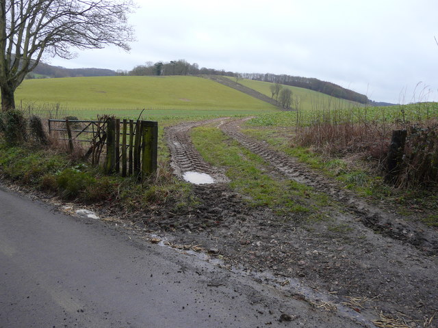
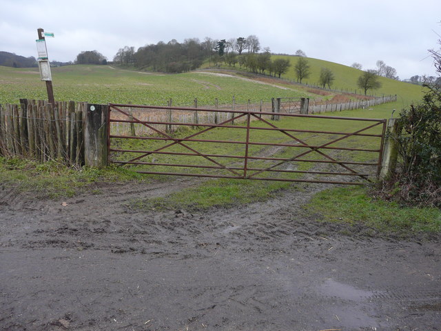
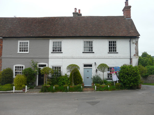
The village is known for its historic charm and natural beauty, with many of its buildings dating back to the medieval period. Elham is surrounded by stunning countryside and rolling hills, making it a popular destination for walkers and nature enthusiasts. The village is also part of the Elham Valley, which is designated as an Area of Outstanding Natural Beauty.
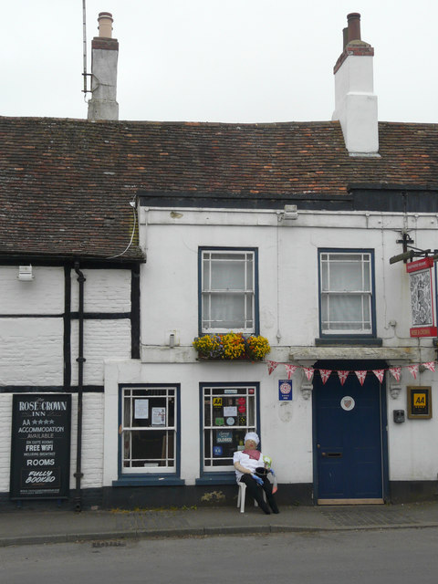
Elham boasts a rich history, with evidence of human habitation in the area dating back to prehistoric times. It was an important market town during the medieval period and still retains many of its historic features, including a 14th-century church, timber-framed cottages, and a medieval bridge over the Nailbourne River.
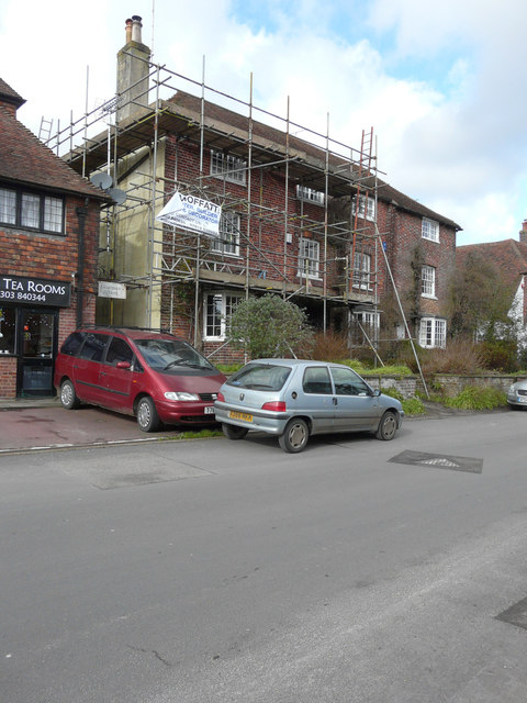
In terms of amenities, Elham has a village shop, a post office, and a pub, providing essential services for its residents. The village also has a strong sense of community, with various events and activities organized throughout the year, such as the Elham Horticultural Society's annual flower show and the Elham Village Fete.
Overall, Elham is a charming and idyllic village that offers a tranquil escape from the hustle and bustle of city life. Its rich history, natural beauty, and strong community spirit make it a truly special place to live or visit in North Kent.
If you have any feedback on the listing, please let us know in the comments section below.
Elham, North Images
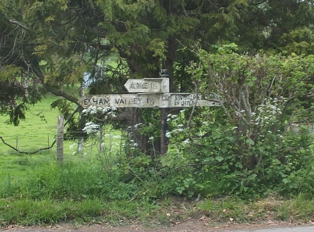
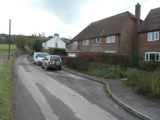
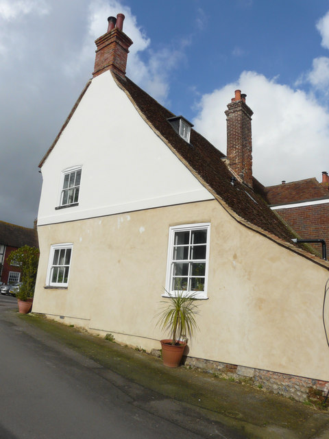
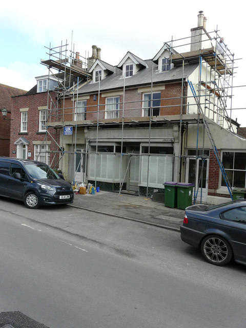
Images are sourced within 2km of 51.159408/1.1209288 or Grid Reference TR1844. Thanks to Geograph Open Source API. All images are credited.


Elham, North is located at Grid Ref: TR1844 (Lat: 51.159408, Lng: 1.1209288)
Administrative County: Kent
District: Shepway
Police Authority: Kent
What 3 Words
///faced.widen.calibrate. Near Lyminge, Kent
Nearby Locations
Related Wikis
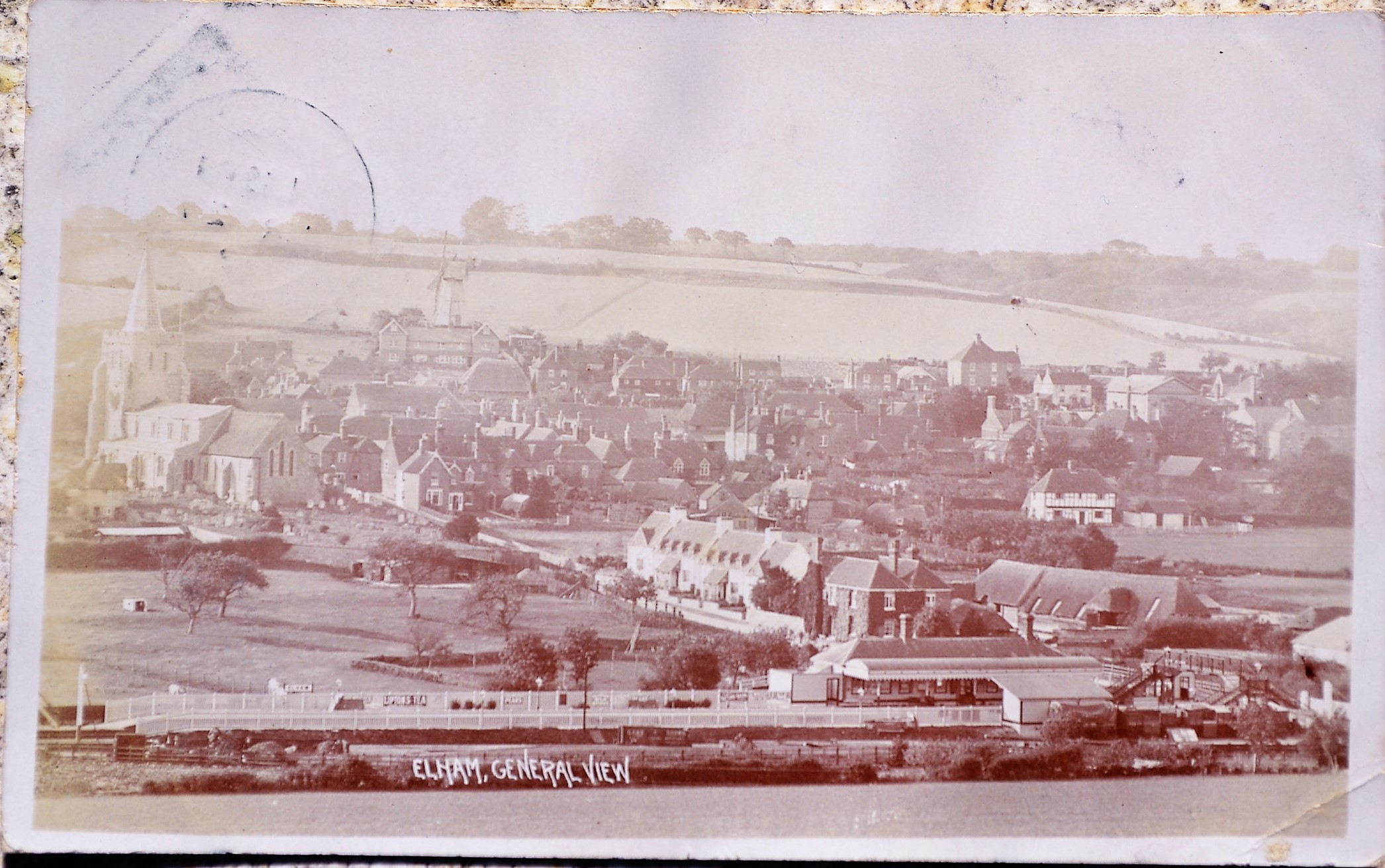
Elham railway station
Elham railway station is a disused railway station on the Elham Valley Railway which served the village of Elham in Kent and the surrounding villages....

Elham, Kent
Elham () is a village and civil parish in East Kent situated approximately 9 miles (14 km) south of Canterbury and 5 miles (8 km) north west of Folkestone...
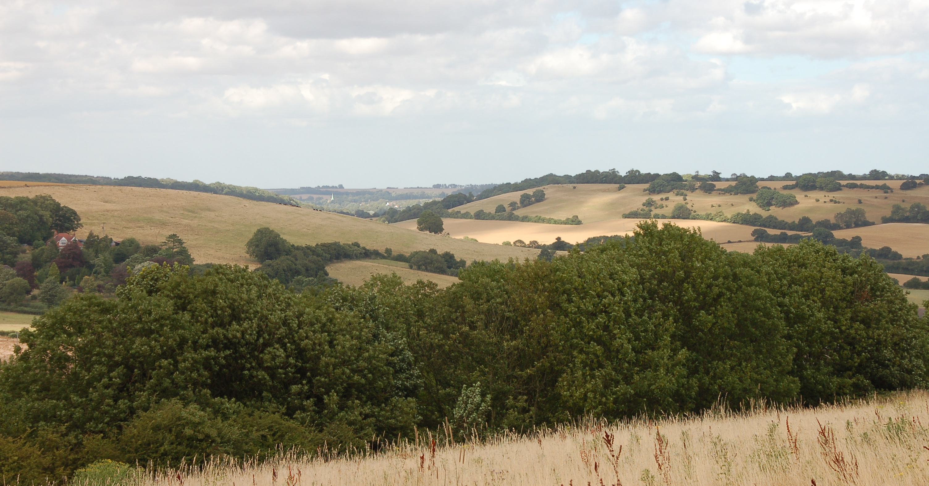
Elham Valley
The Elham Valley is a chalk valley carved by the River Nailbourne situated in the North Downs in East Kent. The valley is named after the settlement of...

Wingmore
Wingmore is a small village between Canterbury and Folkestone in Kent, England. It is situated in the Elham Valley approximately halfway between the larger...
Nearby Amenities
Located within 500m of 51.159408,1.1209288Have you been to Elham, North?
Leave your review of Elham, North below (or comments, questions and feedback).