Bettws
Settlement in Monmouthshire
Wales
Bettws
Bettws is a small village located in the county of Monmouthshire, Wales. Situated approximately 12 miles north of Newport, the village enjoys a rural setting surrounded by picturesque countryside and rolling hills.
The village is home to a close-knit community, with a population of around 1,000 residents. The primary industry in Bettws is agriculture, with many residents involved in farming and livestock rearing. The village is characterized by its quaint cottages and farms, adding to its charm and traditional atmosphere.
Bettws boasts a range of amenities for its residents. These include a local primary school, a village hall, and a community center where various activities and events are held throughout the year. The village also has a small convenience store, providing locals with essential groceries and other daily necessities.
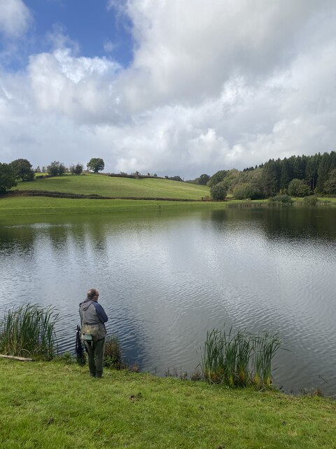
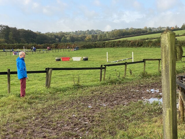
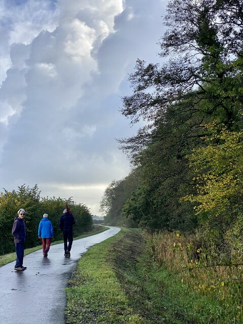
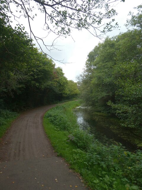
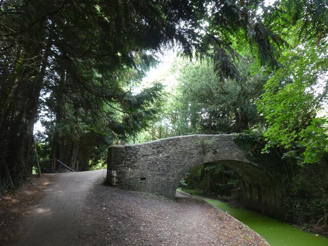
In terms of leisure activities, Bettws offers plenty of opportunities for outdoor pursuits. The surrounding countryside is ideal for hiking, cycling, and horse riding, with numerous trails and bridleways to explore. The village also benefits from its close proximity to the Brecon Beacons National Park, which attracts visitors from far and wide.
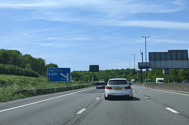
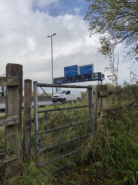
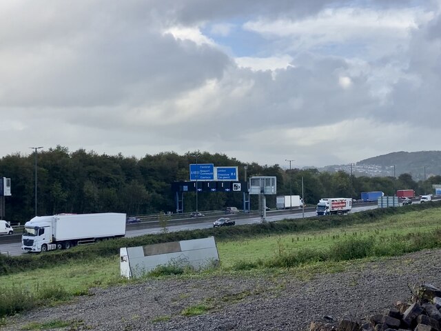
Transport links in Bettws are relatively limited, with the village being served by a few bus routes. However, the nearby town of Newport provides access to major road networks, making it easier for residents to travel to other parts of Monmouthshire and beyond.
Overall, Bettws is a peaceful and idyllic village, offering a tranquil lifestyle amidst the natural beauty of the Monmouthshire countryside.
If you have any feedback on the listing, please let us know in the comments section below.
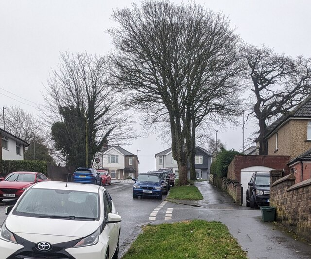
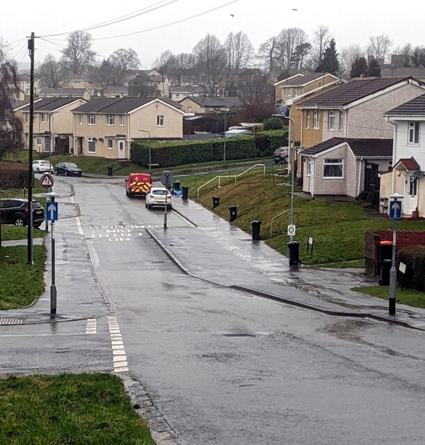
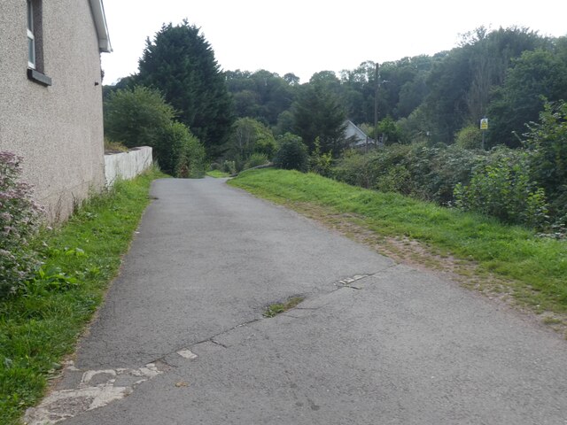
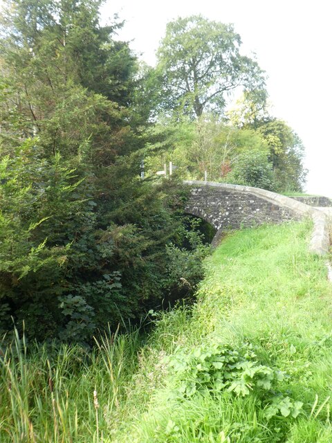
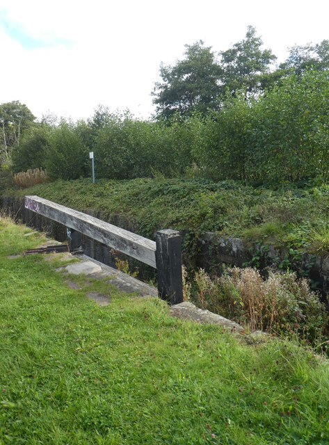
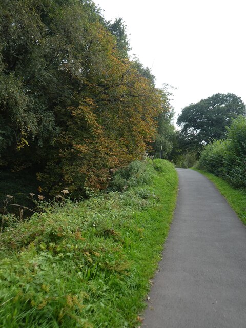
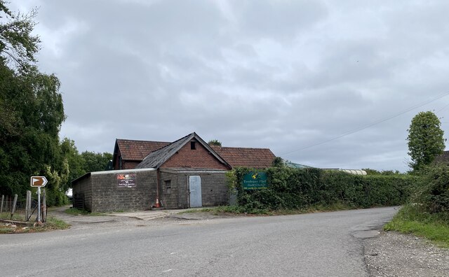
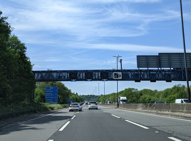
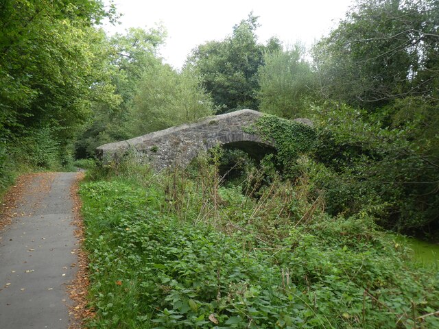
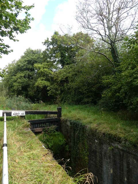
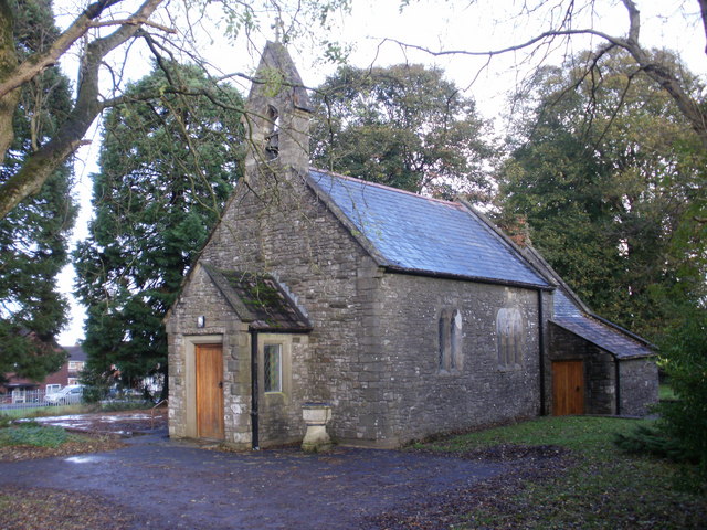
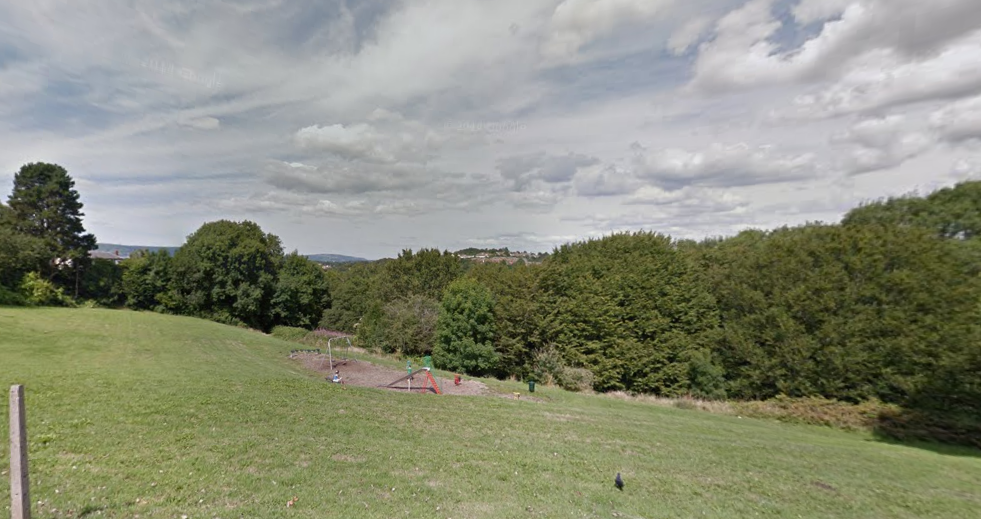
Bettws Images
Images are sourced within 2km of 51.60853/-3.0259315 or Grid Reference ST2990. Thanks to Geograph Open Source API. All images are credited.
Bettws is located at Grid Ref: ST2990 (Lat: 51.60853, Lng: -3.0259315)
Unitary Authority: Newport
Police Authority: Gwent
Also known as: Y Betws
What 3 Words
///name.remit.dice. Near Newport
Related Wikis
Bettws, Newport
Bettws (Welsh: Betws) is a large modern housing estate, electoral ward and coterminous community (parish) of the city of Newport, South Wales. == Etymology... ==

Newport High School (Wales)
Newport High School (Welsh: Ysgol Uwchradd Casnewydd) is a co-educational secondary school in the Bettws district of the city of Newport, South Wales,...

Malpas, Newport
Malpas is an electoral district (ward) and coterminous community (parish) of the city of Newport, South Wales. The area is governed by the Newport City...
Rougemont School
Rougemont School (Welsh: Ysgol Rougemont) is an independent co-educational day school located in the manor house Llantarnam Hall in south Wales. The school...

St Joseph's Hospital, Newport
St Joseph's Hospital is one of the largest privately owned hospitals in Wales. It is situated on Harding Avenue, Malpas, Newport. == History == === Origins... ===

Raglan Barracks, Newport
Raglan Barracks is a military installation at Barrack Hill in Allt-yr-yn in Newport, Wales. == History == The barracks were built as a cavalry barracks...

Brynglas
Brynglas is an area of the city of Newport, South Wales, United Kingdom. == Location == Brynglas is situated above the M4 motorway in Newport and famous...
Barrack Hill
Barrack Hill is an area in Newport, Wales, in the suburb and electoral ward and coterminous community parish of Allt-yr-yn. It is most well known for...
Nearby Amenities
Located within 500m of 51.60853,-3.0259315Have you been to Bettws?
Leave your review of Bettws below (or comments, questions and feedback).