Chideock, North
Settlement in Dorset
England
Chideock, North

Chideock is a small village located in the county of Dorset, in the South West of England. Situated in the North of Dorset, it lies just a few miles away from the stunning Jurassic Coastline, a World Heritage Site known for its natural beauty and geological significance.
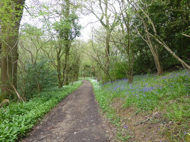
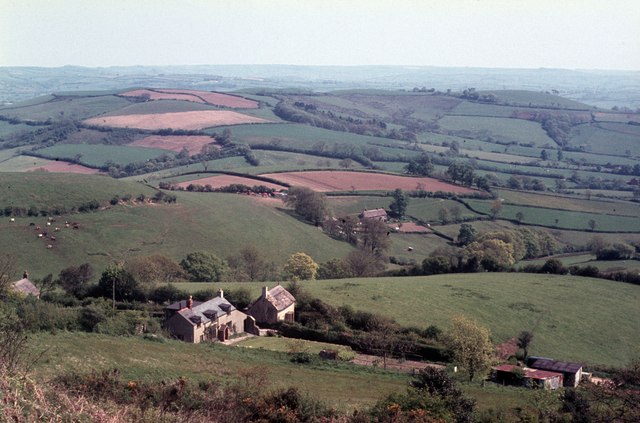
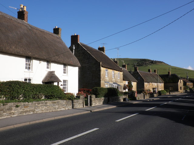
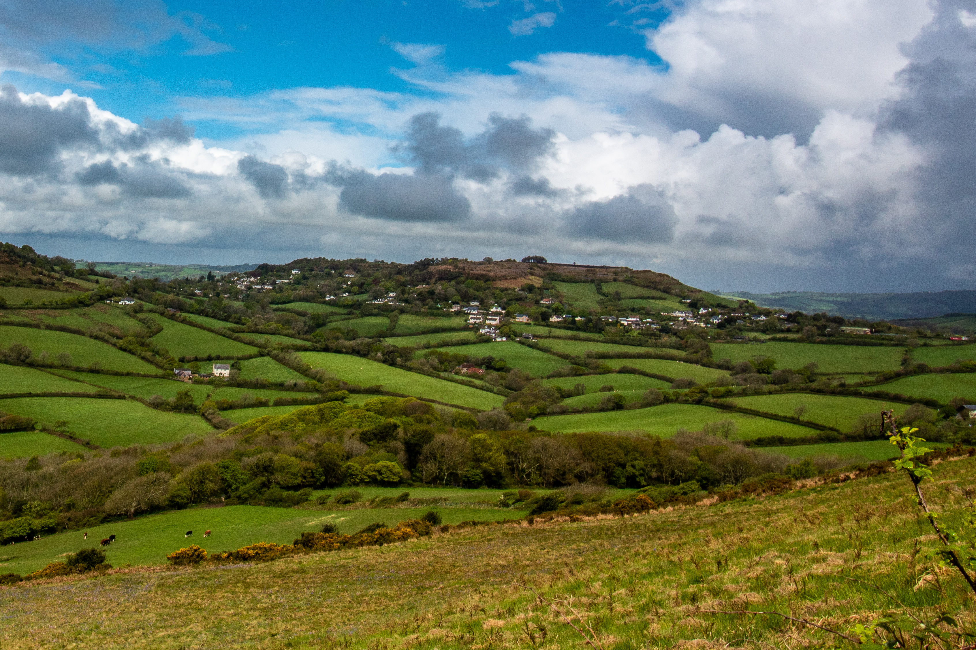
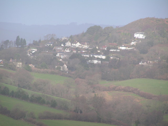
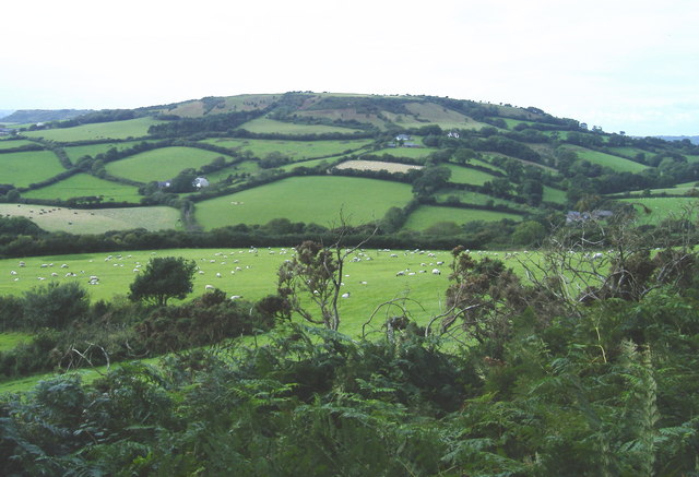
The village itself is nestled in a picturesque valley, surrounded by rolling hills and meadows, offering breathtaking views of the surrounding countryside. Chideock is known for its charming and traditional architecture, with many of its buildings dating back several centuries. The village center features a mix of old stone cottages, quaint thatched roofs, and historic pubs, creating a delightful and nostalgic ambiance.
Chideock is also home to St. Giles Church, a Grade I listed building that dates back to the 15th century. The church is known for its beautiful stained glass windows and intricate woodwork, attracting both locals and visitors interested in its historical and architectural significance.
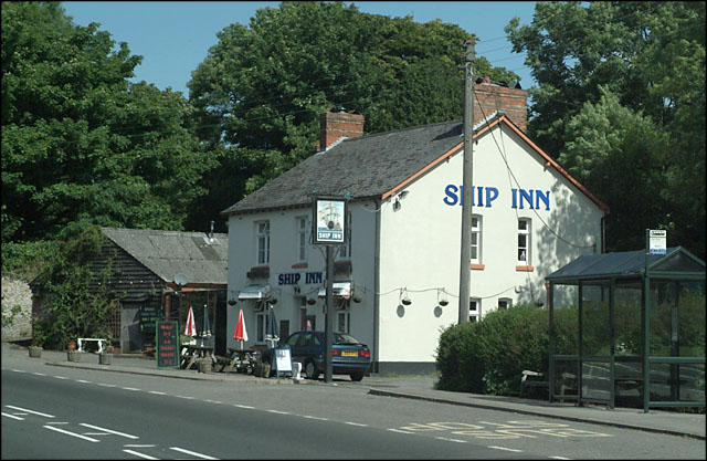
The village is well-served by a range of amenities, including a local shop, post office, and a number of small businesses. Additionally, Chideock boasts a vibrant community spirit, with various clubs and organizations catering to different interests and age groups.
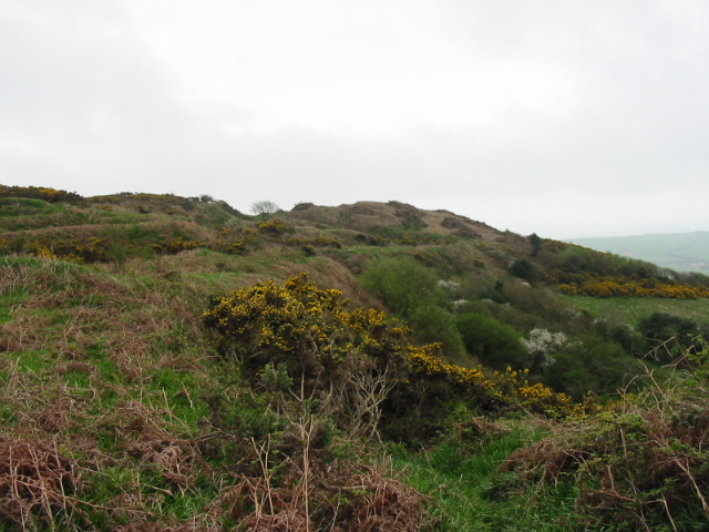
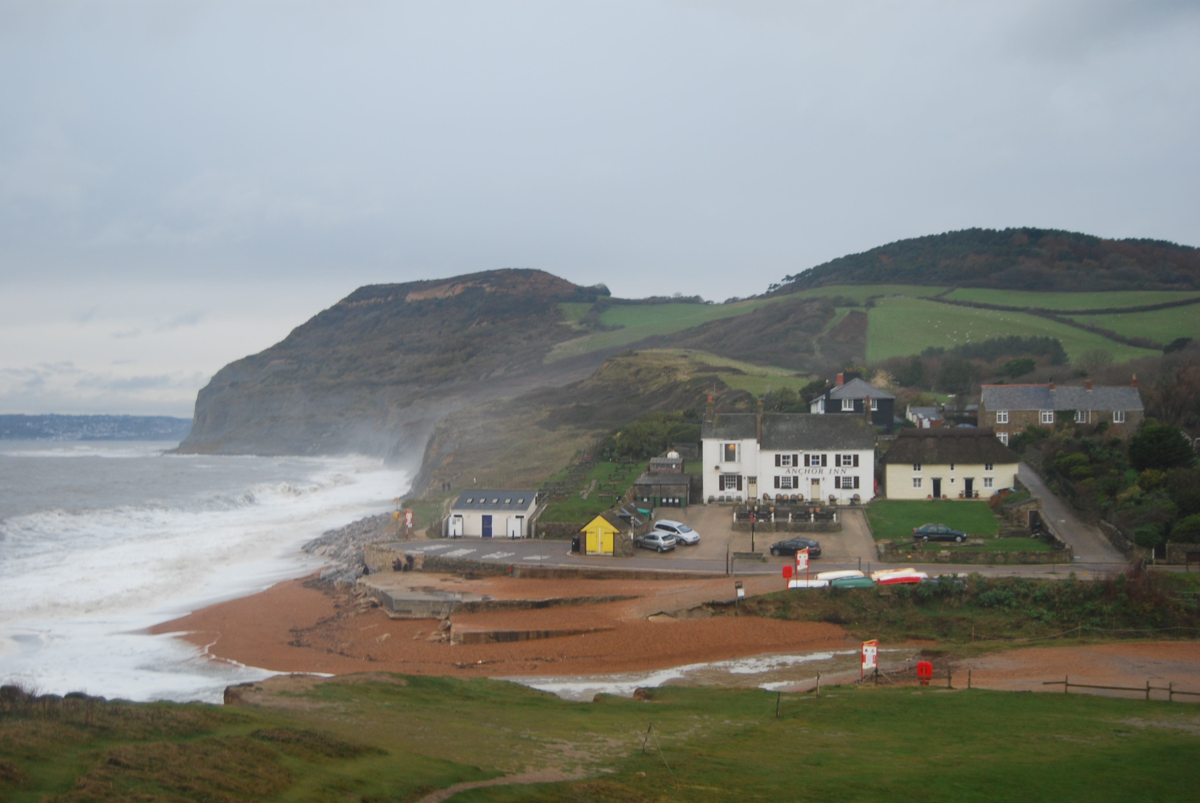
The surrounding area offers a wealth of outdoor activities, with numerous walking and cycling trails, as well as opportunities for fishing and horse riding. The nearby Jurassic Coastline is a popular destination for fossil hunters and beach lovers alike, with its dramatic cliffs, secluded coves, and sandy beaches.
In summary, Chideock is a charming village in North Dorset, offering a peaceful and idyllic setting, rich in history and natural beauty.
If you have any feedback on the listing, please let us know in the comments section below.
Chideock, North Images
Images are sourced within 2km of 50.74122/-2.8236066 or Grid Reference SY4193. Thanks to Geograph Open Source API. All images are credited.


Chideock, North is located at Grid Ref: SY4193 (Lat: 50.74122, Lng: -2.8236066)
Unitary Authority: Dorset
Police Authority: Dorset
What 3 Words
///caressing.unrealistic.frightens. Near Bridport, Dorset
Nearby Locations
Related Wikis
Chideock
Chideock ( CHID-ək) is a village and civil parish in south west Dorset, England, situated close to the English Channel between Bridport and Lyme Regis...
Hardown Hill
Hardown Hill (207 metres, 679 feet high) is a hill between Ryall and Morcombelake in the county of Dorset, England. It rises west of the South Dorset...

Ryall, Dorset
Ryall is a small village in the county of Dorset, on the south coast of Great Britain. It is situated roughly midway between the towns of Bridport and...
Morcombelake
Morcombelake (also spelled Morecombelake) is a small village near Bridport in Dorset, England, within the ancient parish of Whitchurch Canonicorum. Golden...

Golden Cap
Golden Cap is a hill and cliff situated on the English Channel coast between Bridport and Charmouth in Dorset, England. At 191 metres (627 ft), it is arguably...
Seatown
Seatown is a coastal hamlet in Dorset, England, on the English Channel approximately 3 miles (4.8 km) west-southwest of Bridport. It lies within the civil...
Chardown Hill
Chardown Hill is a prominent, rounded hill, 194 metres (636 ft) high, just to the southwest of the village of Morcombelake in the county of Dorset in southern...

Stanton St Gabriel
Stanton St Gabriel is a civil parish in west Dorset, England. It lies approximately midway between the towns of Lyme Regis and Bridport on the Jurassic...
Related Videos

Exploring Golden Cap - Solo Hiking 7 miles in Dorset - (Beautiful 4K)
The other day I went to visit one of UK's hidden gems known as Golden Cap in Dorset … and it was awesome! I solo Hiked 7 miles ...

Day 3 Walk To Seatown Dorset | Highlands End Holiday Park.
Day 3 we take to the coastal path for a beautiful walk to Seatown in Dorset.Please excuse the wind noise I forgot my external mics ...

West Bay to Golden Cap Walk | South West Coast Path | Dorset
Join me on the South West Coast path walking from West Bay to Golden Cap via Eype and Seatown. Apologies for the lack of ...

Classic Camping Pod at Golden Cap 2023
Quick look at one of the 'Classic' camping pods at Golden Cap Holiday Park in Dorset on the South Coast of England #camping ...
Nearby Amenities
Located within 500m of 50.74122,-2.8236066Have you been to Chideock, North?
Leave your review of Chideock, North below (or comments, questions and feedback).