Bettws
Settlement in Monmouthshire
Wales
Bettws

Bettws is a small village located in Monmouthshire, Wales. Situated approximately 3 miles east of the town of Usk, Bettws is nestled in the picturesque countryside of the county. The village is surrounded by rolling hills, meadows, and woodlands, offering residents and visitors a tranquil and idyllic setting.
Bettws boasts a close-knit community, with a population of around 600 people. The village is known for its strong sense of community spirit and friendly atmosphere. Residents often come together to organize various events and activities, strengthening the bonds within the village.
Despite its small size, Bettws is home to a few local amenities to cater to the needs of its residents. These include a primary school, a community center, and a charming village pub. The village is also served by regular bus services, providing convenient transportation links to nearby towns and villages.
For those who enjoy outdoor activities, Bettws offers ample opportunities for exploration and recreation. The surrounding countryside provides beautiful walking and cycling trails, allowing visitors to immerse themselves in the stunning natural landscapes of Monmouthshire. Additionally, the nearby River Usk offers fishing opportunities for angling enthusiasts.
Overall, Bettws is a peaceful and welcoming village that offers a serene escape from the hustle and bustle of city life. Its natural beauty, strong community spirit, and range of amenities make it an attractive place to live or visit for those seeking a slower pace of life.
If you have any feedback on the listing, please let us know in the comments section below.
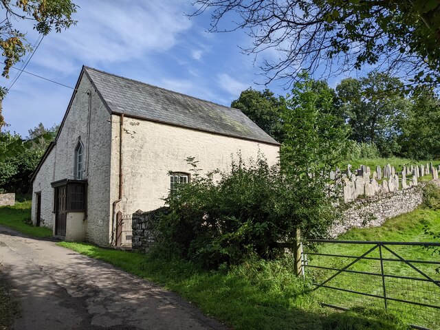
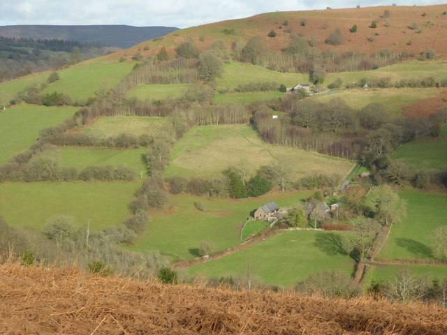
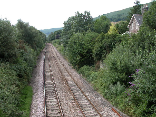
Bettws Images
Images are sourced within 2km of 51.868236/-3.022602 or Grid Reference SO2919. Thanks to Geograph Open Source API. All images are credited.


Bettws is located at Grid Ref: SO2919 (Lat: 51.868236, Lng: -3.022602)
Unitary Authority: Monmouthshire
Police Authority: Gwent
What 3 Words
///lace.indulges.palms. Near Abergavenny, Monmouthshire
Nearby Locations
Related Wikis

Bryn Arw
Bryn Arw is a hill in the Black Mountains of the Brecon Beacons National Park in Monmouthshire, south Wales. It lies 4 km north of the town of Abergavenny...

Blaengavenny Farmhouse, Llanvihangel Crucorney
Blaengavenny Farmhouse, Llanvihangel Crucorney, Monmouthshire is a farmhouse of late medieval origins. It is a Grade II listed building. Its adjacent barn...

Pen y Clawdd Castle
Pen y Clawdd Castle is a ditched mound with a double moat, roughly circular in shape, with a diameter of approximately 28m to 30m and about 2.4m high....

Pen-y-Clawdd Court
Pen-y-Clawdd Court is a Grade I listed country house in Llanvihangel Crucorney, Monmouthshire, Wales, situated 1 mile (1.6 km) to the southwest of the...
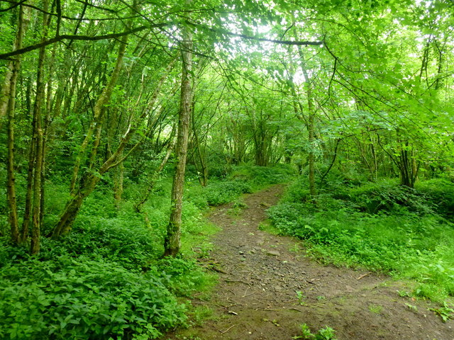
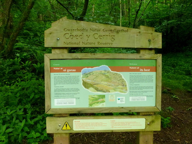
Coed-y-Cerrig National Nature Reserve
Coed-y-Cerrig National Nature Reserve is located at the bottom of a deep valley in the Black Mountains, about 3.7 miles (6.0 km) north of Abergavenny and...
Llanvihangel railway station
Llanvihangel railway station was a former station which served the Monmouthshire village of Llanvihangel Crucorney. It was located on the Welsh Marches...

Abergavenny Priory Deer Park
Abergavenny Priory Deer Park, to the north of the town of Abergavenny in Monmouthshire, Wales, was a mediaeval deer park. Today, the site is listed on...

Sugar Loaf, Monmouthshire
The Sugar Loaf, sometimes called Sugar Loaf (Welsh: Mynydd Pen-y-fâl or Y Fâl), is a hill situated 2 miles (3.2 km) north-west of Abergavenny in Monmouthshire...
Nearby Amenities
Located within 500m of 51.868236,-3.022602Have you been to Bettws?
Leave your review of Bettws below (or comments, questions and feedback).