Cardonald, North

Settlement in Renfrewshire

Scotland

Cardonald, North

Houses on Penilee Road, Paisley
Houses on Penilee Road, Paisley Credit: JThomas

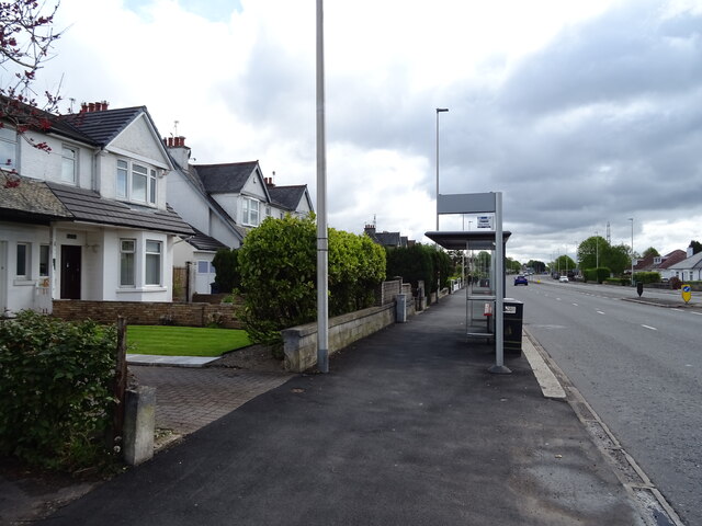
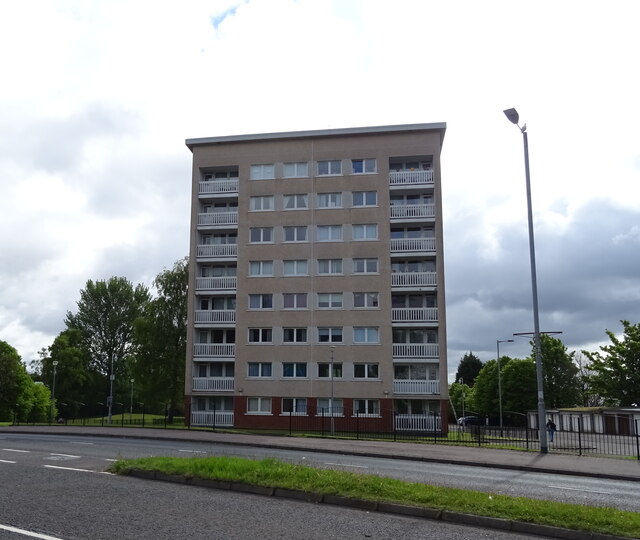
Cardonald is a residential area located in the North of Renfrewshire, Scotland. Situated approximately six miles west of Glasgow city center, it is a predominantly working-class suburb that offers a mix of residential properties and local amenities.

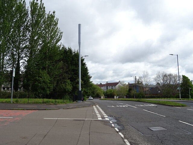
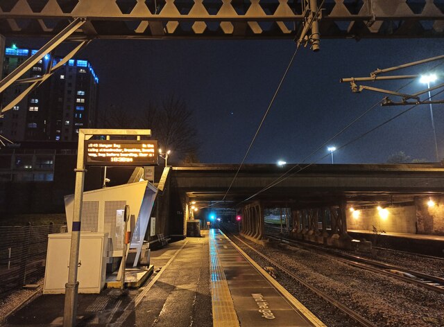
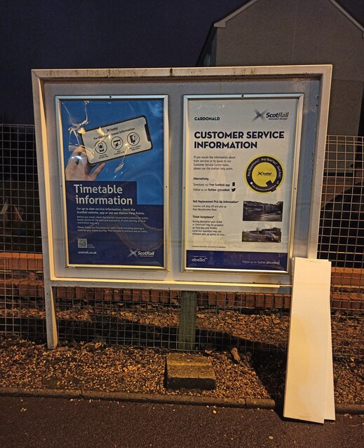
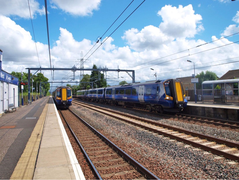
The area is well connected, with excellent transport links. The M8 motorway runs close by, providing easy access to Glasgow and other nearby towns. Additionally, Cardonald railway station offers regular services to the city center and surrounding areas.

Cardonald is home to a number of schools, making it an attractive location for families. These include Cardonald Primary School and Hillington Primary School, providing education for children of all ages. There are also several parks and green spaces in the area, offering opportunities for outdoor activities and recreation.

The local amenities in Cardonald include a range of shops, supermarkets, and eateries, ensuring residents have easy access to everyday necessities. The nearby Braehead Shopping Centre provides a wider selection of retail options, along with entertainment facilities such as a cinema and ice rink.

Cardonald has a strong sense of community, with various local groups and organizations offering activities and support for residents. The area also benefits from the presence of the Queen Elizabeth University Hospital, one of Scotland's largest hospitals, providing healthcare services to the local community.

Overall, Cardonald offers a convenient and affordable place to live, with its excellent transport links, range of amenities, and strong community spirit making it an attractive location within the North of Renfrewshire.

If you have any feedback on the listing, please let us know in the comments section below.

Cardonald, North Images

Images are sourced within 2km of 55.857654/-4.3604298 or Grid Reference NS5265. Thanks to Geograph Open Source API. All images are credited.

Houses on Penilee Road, Paisley
Penilee Road, Paisley
Bus stop and shelter on Glasgow Road (A761)
Bungalows on Glasgow Road (A761)
Bus top and shelter on Glasgow Road (A761)
Shop on Glasgow Road (A761)
Glasgow Road (A761) Towards Glasgow.
Glasgow Road (A761)
Towards Glasgow.
Blocks of flats, Kelhead Path
Block of flats, Tinwold Path
Phone mast on Sandwood Road (A736)
Leonardo's Restaurant Italian restaurant on Paisley Road West.
Leonardo's Restaurant
Italian restaurant on Paisley Road West.
Bus stop and shelter on Paisley Road West (A761)
Postbox on Penilee Road, Paisley Postbox No. PA1 163.

See <a href="https://www.geograph.org.uk/photo/7032078">NS5164 : Shop on Penilee Road, Paisley</a> for context.
Postbox on Penilee Road, Paisley
Postbox No. PA1 163. See NS5164 : Shop on Penilee Road, Paisley for context.
Shop on Penilee Road, Paisley Showing position of Postbox No. PA1 163.

See <a href="https://www.geograph.org.uk/photo/7032077">NS5164 : Postbox on Penilee Road, Paisley</a> for postbox.
Shop on Penilee Road, Paisley
Showing position of Postbox No. PA1 163. See NS5164 : Postbox on Penilee Road, Paisley for postbox.
George V postbox on Glasgow Road (A761) Postbox No. PA1 174.
George V postbox on Glasgow Road (A761)
Postbox No. PA1 174.
The Luma Tower An Art Deco style former lightbulb factory which was converted to residential use in 1995/6. Category B Listed <span class="nowrap"><a title="http://portal.historicenvironment.scot/designation/LB33308" rel="nofollow ugc noopener" href="http://portal.historicenvironment.scot/designation/LB33308">Link</a><img style="margin-left:2px;" alt="External link" title="External link - shift click to open in new window" src="https://s1.geograph.org.uk/img/external.png" width="10" height="10"/></span> .
The Luma Tower
An Art Deco style former lightbulb factory which was converted to residential use in 1995/6. Category B Listed LinkExternal link .
Cardonald railway station A night view, looking west towards Hillington East from the west bound platform.
Cardonald railway station
A night view, looking west towards Hillington East from the west bound platform.
Cardonald railway station The customer information board on the west bound platform provides information about public transport links from the station (by road).
Cardonald railway station
The customer information board on the west bound platform provides information about public transport links from the station (by road).
Show me another place!

Cardonald, North is located at Grid Ref: NS5265 (Lat: 55.857654, Lng: -4.3604298)

Unitary Authority: City of Glasgow

Police Authority: Greater Glasgow

What 3 Words

///trendy.comic.monkey. Near Renfrew, Renfrewshire

Related Wikis

Hillington East railway station

Hillington East railway station is located in the Hillington district of Glasgow, Scotland, also serving the eastern portion of the large Hillington industrial...

Glasgow distillery

Glasgow distillery is a Scotch whisky, gin and rum distillery in Glasgow, Scotland. In 2020, the distillery was named distillery of the year at the Scottish...

St Nicholas' Cardonald Church

The Parish Church of Saint Nicholas, also known as St Nicholas' Cardonald, is a 20th century Parish church of the Church of Scotland, located in the Hillington...

Hillington West railway station

Hillington West railway station is located in the Hillington district of Glasgow, Scotland, also serving the western portion of the large Hillington industrial...

Hillington, Scotland

Hillington (Scots: Hullintoun, Scottish Gaelic: Hileantan) is an area on the southwestern edge of the Scottish city of Glasgow comprising a residential...

Penilee

Penilee is a small housing scheme and suburb on the southwestern edge of Glasgow, Scotland. The area is bounded to its east by the Glasgow suburbs of...

Shieldhall

Shieldhall is a district in the Scottish city of Glasgow. It is situated directly south of the River Clyde and is part of the wider Govan area. == Location... ==

Cardonald

Cardonald (; Scots: Cardonal, Scottish Gaelic: Cair Dhòmhnaill) is an outlying suburb of the Scottish city of Glasgow. Formerly a village in its own right...

Nearby Amenities

Located within 500m of 55.857654,-4.3604298
Post Box
Lat/Long: 55.8532653/-4.3595191
Bus Stop
Bus: yes
Naptan AtcoCode: 6140183
Naptan NaptanCode: 73924265
Public Transport: platform
Lat/Long: 55.8563005/-4.3656572
Bus Stop
Bus: yes
Nat Ref: 6140185
Public Transport: platform
Lat/Long: 55.8564888/-4.3675752
Bus Stop
Bus: yes
Nat Ref: 5140156
Public Transport: platform
Lat/Long: 55.8617394/-4.3626968
Crossing
Crossing: traffic_signals
Lat/Long: 55.8615506/-4.3629546
Cardonald North Junction
Historic Railway: junction
Railway: site
Lat/Long: 55.8577692/-4.3525355
Bus Stop
Bus: yes
Public Transport: platform
Lat/Long: 55.8569509/-4.3629603
Bus Stop
Bus: yes
Public Transport: platform
Lat/Long: 55.858083/-4.3625912
Crossing
Crossing: traffic_signals
Crossing Ref: toucan
Tactile Paving: yes
Lat/Long: 55.8545635/-4.3645919
Crossing
Crossing: traffic_signals
Crossing Ref: toucan
Tactile Paving: yes
Lat/Long: 55.8544967/-4.3647523
Bus Stop
Cardonald, Hartlaw Crescent/ Hillington pr school
Naptan AtcoCode: 60903315
Naptan Bearing: SE
Naptan CommonName: Hillington Primary School
Naptan Indicator: before
Naptan Landmark: Hillington pr school
Naptan NaptanCode: 45237283
Naptan Street: Hartlaw Crescent
Ref: 60903315
Lat/Long: 55.8532642/-4.3595377
Bicycle Parking
Bicycle Parking: stands
Capacity: 10
Covered: yes
Lat/Long: 55.8602273/-4.3606123
Bicycle Parking
Bicycle Parking: stands
Capacity: 4
Covered: no
Lat/Long: 55.8601002/-4.3608644
Crossing
Crossing: traffic_signals
Lat/Long: 55.8615295/-4.3626963
Railway: buffer_stop
Lat/Long: 55.8614942/-4.3578278
Railway: buffer_stop
Lat/Long: 55.8614641/-4.3577125
Information: board
Tourism: information
Lat/Long: 55.8548839/-4.3558142
Barrier: bollard
Lat/Long: 55.8562754/-4.3641896
Tradeforms
Addr Housenumber: 401
Addr Street: Kelvin Avenue
Craft: printer
Lat/Long: 55.856371/-4.3642263
Flag Name: Red Cross
Flag Type: organisation
Flag Wikidata: Q63991554
Man Made: flagpole
Subject: International Red Cross and Red Crescent Movement
Subject Wikidata: Q7178
Lat/Long: 55.8577939/-4.3618833
The data included in this document is from www.openstreetmap.org. The data is made available under ODbL.

Have you been to Cardonald, North?

Leave your review of Cardonald, North below (or comments, questions and feedback).