Burlingham, North

Settlement in Norfolk Broadland

England

Burlingham, North

Lingwood, Glebe Farm: Crop
Lingwood, Glebe Farm: Crop Credit: Michael Garlick

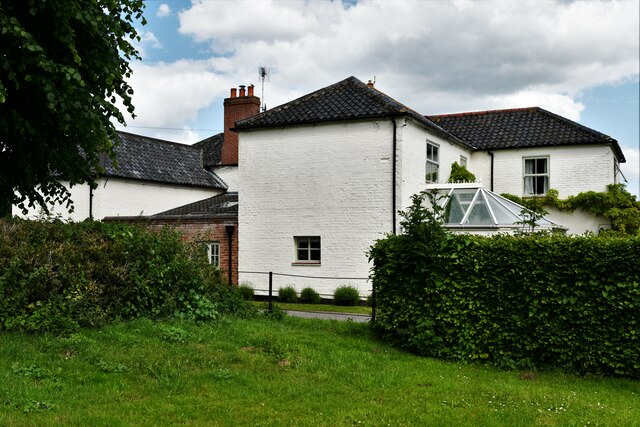
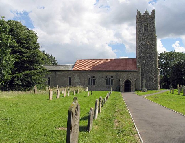
Burlingham is a small village located in the North Norfolk district of the county of Norfolk, England. Situated approximately 10 miles north-east of the city of Norwich, it is nestled amidst picturesque countryside and offers a tranquil and idyllic setting.

The village has a modest population, with just over 300 residents according to the latest census. It is characterized by its charming rural atmosphere and traditional English village architecture, with many buildings dating back centuries. The village is surrounded by vast fields and patches of woodland, providing ample opportunities for scenic walks and outdoor activities.

Despite its small size, Burlingham boasts a close-knit community that takes great pride in preserving its heritage and maintaining a strong sense of community spirit. The village has a well-maintained public green, which serves as a focal point for community events and gatherings throughout the year.

In terms of amenities, Burlingham offers limited but essential facilities. There is a small village shop that caters to the basic needs of the residents, while a local pub provides a cozy space for socializing and enjoying a pint. For educational needs, the village is home to a primary school, ensuring convenient access to education for local families.

Overall, Burlingham is an enchanting village that showcases the quintessential charm of rural Norfolk. Its peaceful ambiance, beautiful surroundings, and strong community ties make it an appealing place to live for those seeking a tranquil countryside lifestyle.

If you have any feedback on the listing, please let us know in the comments section below.

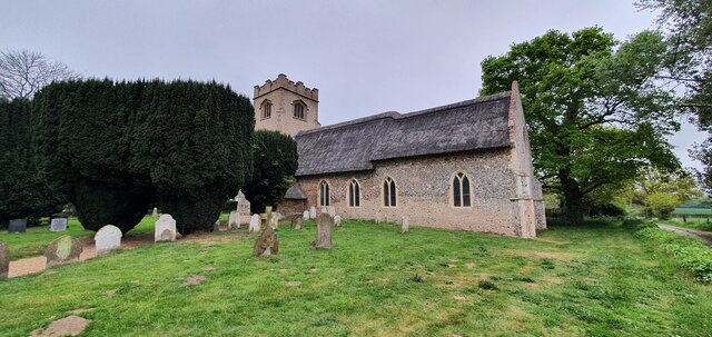
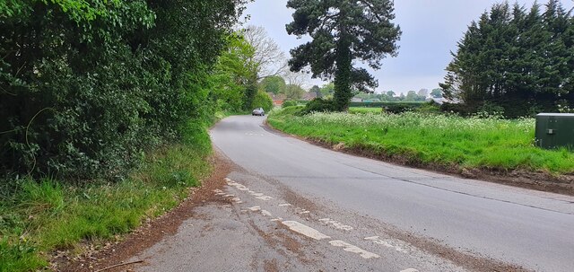
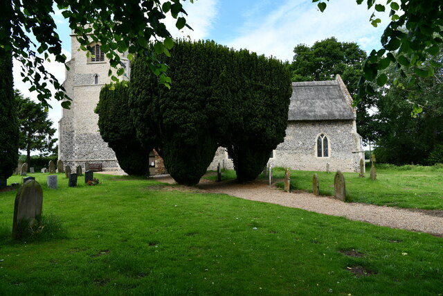
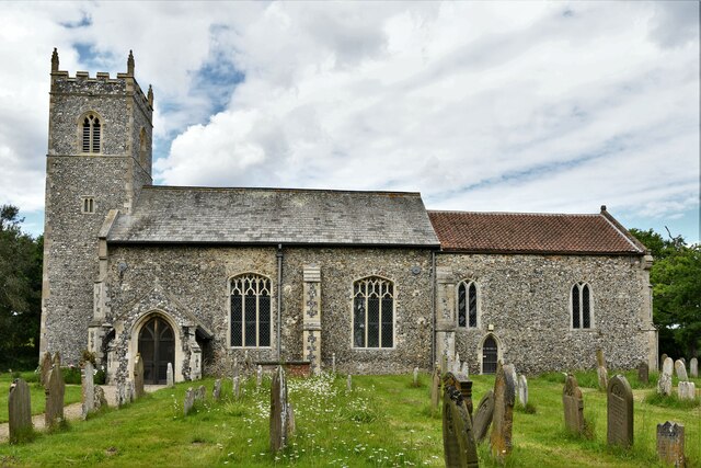
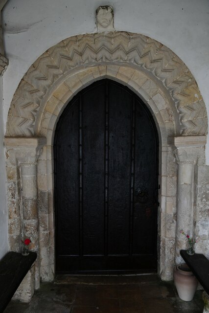
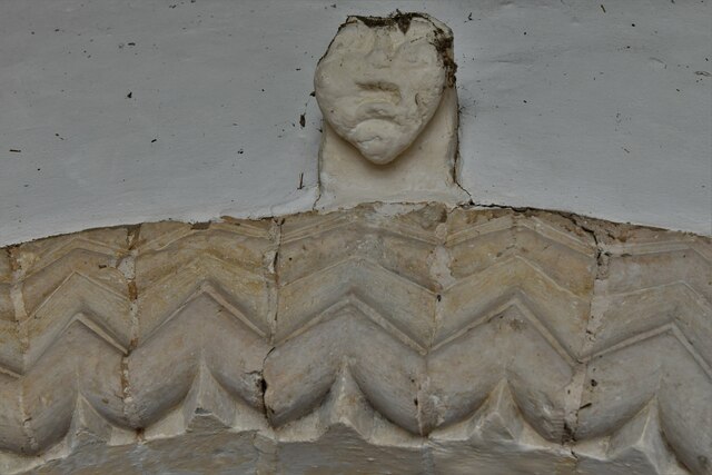
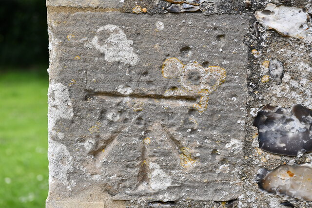
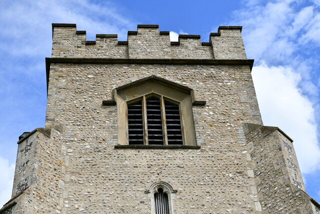
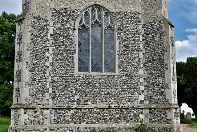
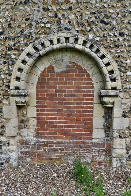
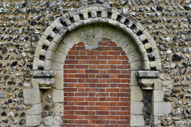
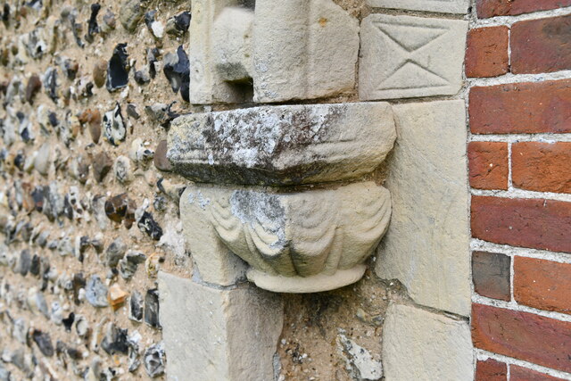
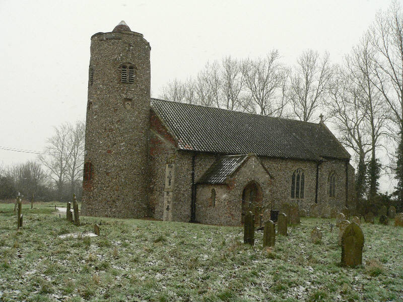
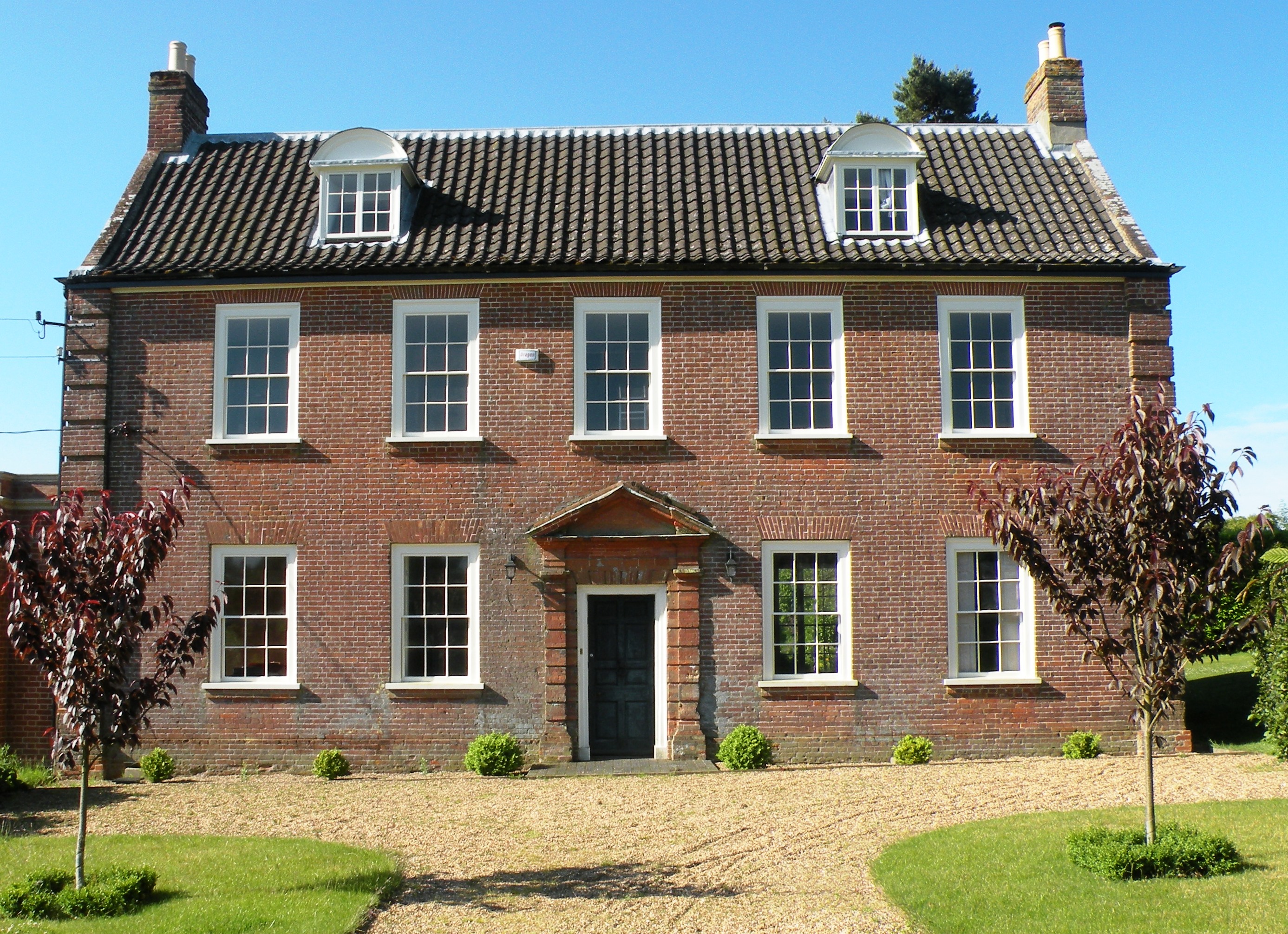
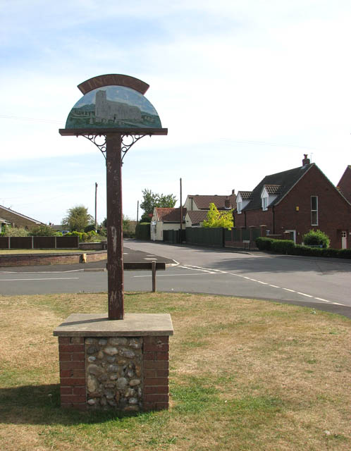
Burlingham, North Images

Images are sourced within 2km of 52.637374/1.497625 or Grid Reference TG3610. Thanks to Geograph Open Source API. All images are credited.

Lingwood, Glebe Farm: Crop
Lingwood, Elm Road
Lingwood, Elm Road
St Edmund's church, South Burlingham
Junction of South Burlingham Road and Lodge Road
South Burlingham, St. Edmund's Church
Lingwood, St. Peter's Church: Southern aspect
South Burlingham, Church Farm: The farmhouse
South Burlingham, St. Edmund's Church: Norman south doorway
South Burlingham, St. Edmund's Church: Norman south doorway (detail) 1
South Burlingham, St. Edmund's Church: Norman south doorway (detail) 2
South Burlingham, St. Edmund's Church: Norman south doorway (detail) 3
South Burlingham, St. Edmund's Church: Bench mark
South Burlingham, St. Edmund's Church: The tower, western aspect
South Burlingham, St. Edmund's Church: Blocked up Norman north doorway
South Burlingham, St. Edmund's Church: Blocked up Norman north doorway (detail) 1
South Burlingham, St. Edmund's Church: Blocked up Norman north doorway (detail) 2
Show me another place!

Burlingham, North is located at Grid Ref: TG3610 (Lat: 52.637374, Lng: 1.497625)

Administrative County: Norfolk

District: Broadland

Police Authority: Norfolk

What 3 Words

///alike.porridge.embraced. Near Lingwood, Norfolk

Related Wikis

Lingwood and Burlingham

Lingwood and Burlingham is a civil parish in the English county of Norfolk, comprising the large village of Lingwood together with the smaller villages...

Lingwood railway station

Lingwood railway station is on the Wherry Lines in the east of England, serving the village of Lingwood, Norfolk. It is 7 miles 78 chains (12.8 km) down...

Hemblington

Hemblington is a civil parish in the English county of Norfolk, about 8 miles (13 km) east of Norwich. It covers an area of 3.03 km2 (1.17 sq mi) and had...

Hemblington Hall

Hemblington Hall is a large farmhouse in Norfolk county, England, built around 1700 with a Georgian facade. This grade II listed building was the home...

Lingwood

Lingwood is a village and former civil parish, 8 miles (13 km) east of Norwich, now in the parish of Lingwood and Burlingham, in the Broadland district...

Beighton, Norfolk

Beighton is a village and civil parish in the Broadland district of Norfolk, England, about two miles (3 km) South-West of Acle about 12.8 miles (20.6...

Norwich United F.C.

Norwich United Football Club is a football club based in Blofield, Norfolk, England. Affiliated to the Norfolk County FA, they play at Plantation Park...

Strumpshaw

Strumpshaw is a village and civil parish in the English county of Norfolk. It is located on the northern bank of the River Yare around 6 miles (9.7 km...

Nearby Amenities

Located within 500m of 52.637374,1.497625
North Burlingham
Place: village
Lat/Long: 52.6363042/1.4986928
Post Box
Collection Times: Mo-Fr 16:00; Sa 08:00
Operator: Royal Mail
Operator Wikidata: Q638098
Post Box Mounting: brick_pillar
Post Box Type: wall
Ref: NR13 1344
Royal Cypher: GVIR
Royal Cypher Wikidata: Q33102169
Lat/Long: 52.6364272/1.4949823
St Andrew Angel
Artwork: brass_plaque
Ref: 1
Tourism: artwork
Lat/Long: 52.6374054/1.4936343
Iceni Horse
Artwork: brass_plaque
Ref: 3
Tourism: artwork
Lat/Long: 52.6404691/1.495972
Barrier: kissing_gate
Lat/Long: 52.6383861/1.4933171
Church Farm
Phone: +44 1603712320
Tourism: camp_site
Lat/Long: 52.6362093/1.4967808
Parking
Access: yes
Fee: no
Parking: layby
Lat/Long: 52.6356024/1.4947516
Bench
Backrest: yes
Material: wood
Seats: 3
Lat/Long: 52.6371247/1.4942761
War Memorial
Historic: memorial
Website: http://www.geograph.org.uk/photo/4774506
Lat/Long: 52.6371257/1.4942332
Material: wood
Power: pole
Lat/Long: 52.6348843/1.4927166
Material: wood
Power: pole
Lat/Long: 52.6351146/1.4944412
Material: wood
Power: pole
Lat/Long: 52.6353392/1.4960318
Material: wood
Power: pole
Lat/Long: 52.6355508/1.4990063
Material: wood
Power: pole
Lat/Long: 52.6355622/1.4975982
Material: wood
Power: pole
Lat/Long: 52.6356242/1.4927783
Power: pole
Lat/Long: 52.6360326/1.4994623
Material: wood
Power: pole
Lat/Long: 52.6364645/1.4927917
Power: pole
Lat/Long: 52.6374208/1.4930787
Power: pole
Lat/Long: 52.6384231/1.4932879
Power: pole
Lat/Long: 52.6393345/1.493607
Power: pole
Lat/Long: 52.6403013/1.4938645
Entrance: main
Lat/Long: 52.6371076/1.4943285
Entrance: yes
Lat/Long: 52.6364989/1.4989283
Entrance: main
Lat/Long: 52.6364695/1.4987351
Give Way
Lat/Long: 52.6361948/1.4911666
Give Way
Lat/Long: 52.6363836/1.4912157
Drive & Church Plantations
Information: map
Map Size: site
Map Type: street
Tourism: information
Lat/Long: 52.6379669/1.4945141
Bench
Backrest: no
Colour: brown
Material: wood
Seats: 3
Lat/Long: 52.6390496/1.4958575
Bench
Backrest: yes
Colour: brown
Inscription: no
Material: wood
Seats: 3
Lat/Long: 52.639284/1.4960792
Bench
Backrest: no
Material: wood
Seats: 3
Lat/Long: 52.6402844/1.4964124
Bench
Backrest: no
Colour: brown
Material: wood
Seats: 3
Lat/Long: 52.6414853/1.4960428
Bench
Backrest: no
Colour: brown
Material: wood
Seats: 3
Lat/Long: 52.6403607/1.4959099
Bench
Colour: brown
Material: wood
Note: Damaged
Seats: 3
Lat/Long: 52.639098/1.4951307
Bench
Backrest: no
Colour: brown
Material: wood
Seats: 3
Lat/Long: 52.6383806/1.4941752
Waste Basket
Colour: red
Waste: dog_excrement
Lat/Long: 52.6376848/1.493637
Waste Basket
Colour: red
Waste: dog_excrement
Lat/Long: 52.6371405/1.4936887
Bench
Backrest: no
Colour: brown
Material: wood
Seats: 3
Lat/Long: 52.637169/1.4936429
The data included in this document is from www.openstreetmap.org. The data is made available under ODbL.

Have you been to Burlingham, North?

Leave your review of Burlingham, North below (or comments, questions and feedback).