Broomage, North
Settlement in Stirlingshire
Scotland
Broomage, North

Broomage is a small village located in the North of Stirlingshire, Scotland. Situated near the town of Larbert, Broomage is part of the Falkirk council area.
The village is characterized by its charming rural setting, with rolling hills and picturesque landscapes surrounding the area. It is predominantly residential, with a population of around 1,000 residents. The houses in Broomage are a mix of modern homes and traditional cottages, giving the village a unique blend of old and new.
Broomage offers its residents a peaceful and close-knit community atmosphere. The village has a primary school, providing education for local children, and a community center that hosts various events and activities throughout the year. The village also has a local pub, offering a gathering place for residents and visitors alike.
For those seeking outdoor activities, Broomage is ideally located. The surrounding countryside provides ample opportunities for hiking, cycling, and nature walks. Nearby attractions include the Falkirk Wheel, an impressive rotating boat lift, and the Kelpies, iconic horse-head sculptures that stand as a tribute to Scotland's industrial heritage.
In terms of transportation, Broomage benefits from its proximity to major road networks, including the M9 motorway, making it easily accessible by car. The village also has a railway station in Larbert, providing connections to major cities such as Glasgow and Edinburgh.
Overall, Broomage offers a tranquil and scenic place to live, with a strong sense of community and convenient access to amenities and transportation links.
If you have any feedback on the listing, please let us know in the comments section below.
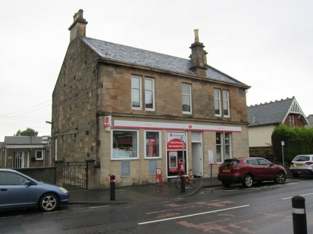
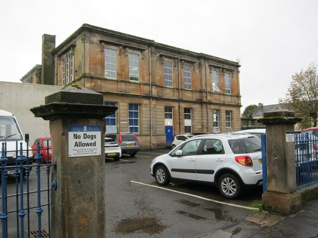
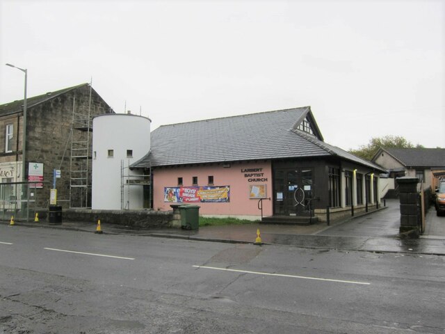
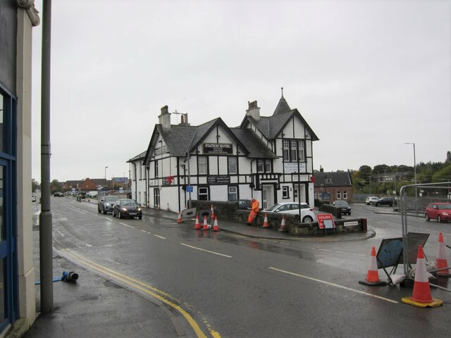
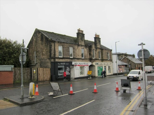
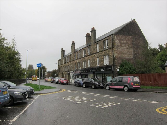
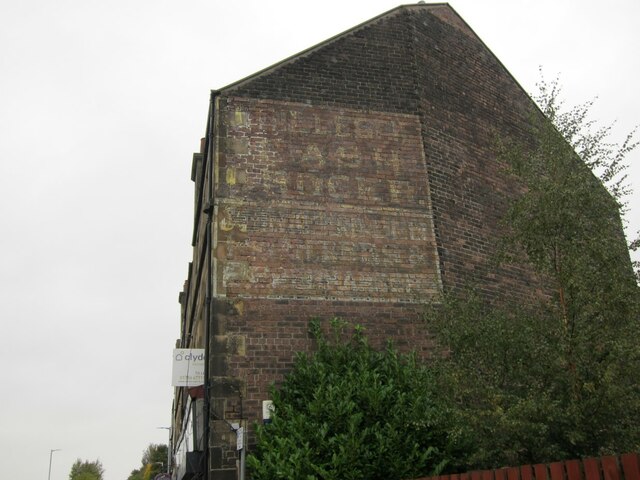
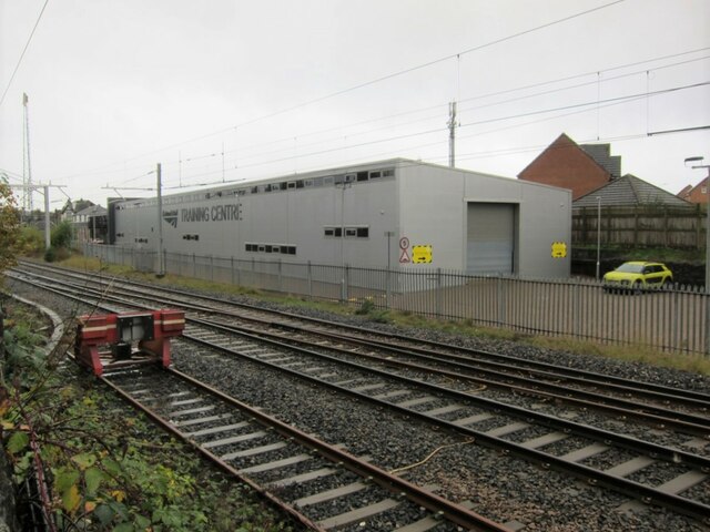
Broomage, North Images
Images are sourced within 2km of 56.030109/-3.8382978 or Grid Reference NS8583. Thanks to Geograph Open Source API. All images are credited.


Broomage, North is located at Grid Ref: NS8583 (Lat: 56.030109, Lng: -3.8382978)
Unitary Authority: Falkirk
Police Authority: Forth Valley
What 3 Words
///mixed.dame.stolen. Near Larbert, Falkirk
Nearby Locations
Related Wikis
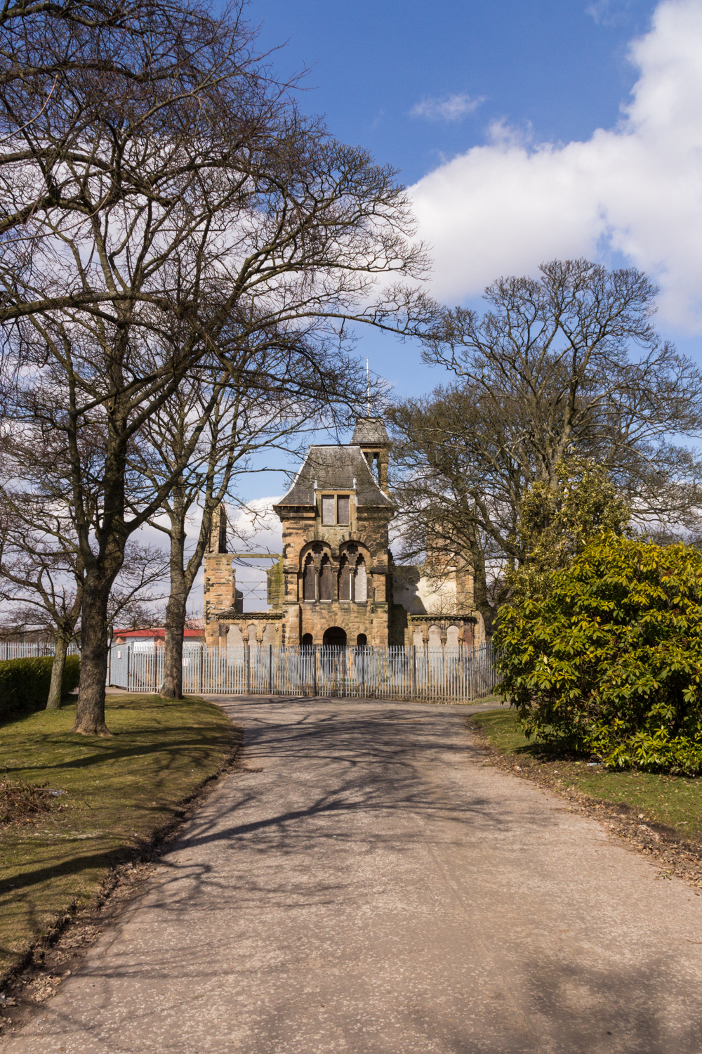
Royal Scottish National Hospital
The Royal Scottish National Hospital was a psychiatric institution situated in Larbert, Falkirk, Scotland. It was first founded as the Scottish National...

Forth Valley Royal Hospital
Forth Valley Royal Hospital is a hospital located in Larbert, Scotland. With 860 inpatient beds, 25 wards, and 16 operating theatres, it was Scotland's...

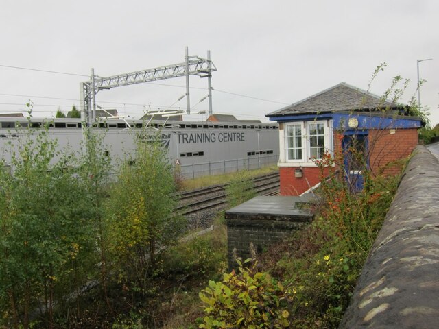
Larbert railway station
Larbert railway station is a railway station serving Larbert near Falkirk, Scotland. == History == The station was built by the Scottish Central Railway...

Larbert
Larbert (Scottish Gaelic: Leth-Pheairt, Scots: Lairbert) is a town in the Falkirk council area of Scotland. The town lies in the Forth Valley above the...

Bellsdyke Hospital
Bellsdyke Hospital, also known as Stirling District Lunatic Asylum ('SDLA') or Stirling District Asylum, is a former psychiatric hospital at Larbert, Falkirk...
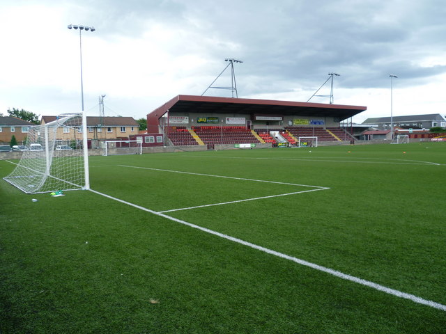
Ochilview Park
Ochilview Park is a football stadium in Stenhousemuir in the Falkirk council area of Scotland. It is the home ground of Scottish League Two club Stenhousemuir...

Carronvale House
Carronvale House is a category A listed country house in Larbert, Stirlingshire, Scotland. It is a large two-storey house with neo-Georgian details. Its...

Torwood
Torwood (Scottish Gaelic: Coille Tor) is a small village located 2 miles (3.2 km) north-northwest of Larbert, 4 miles (6.4 km) north-west of Falkirk and...
Nearby Amenities
Located within 500m of 56.030109,-3.8382978Have you been to Broomage, North?
Leave your review of Broomage, North below (or comments, questions and feedback).