Blyth, North
Settlement in Northumberland
England
Blyth, North

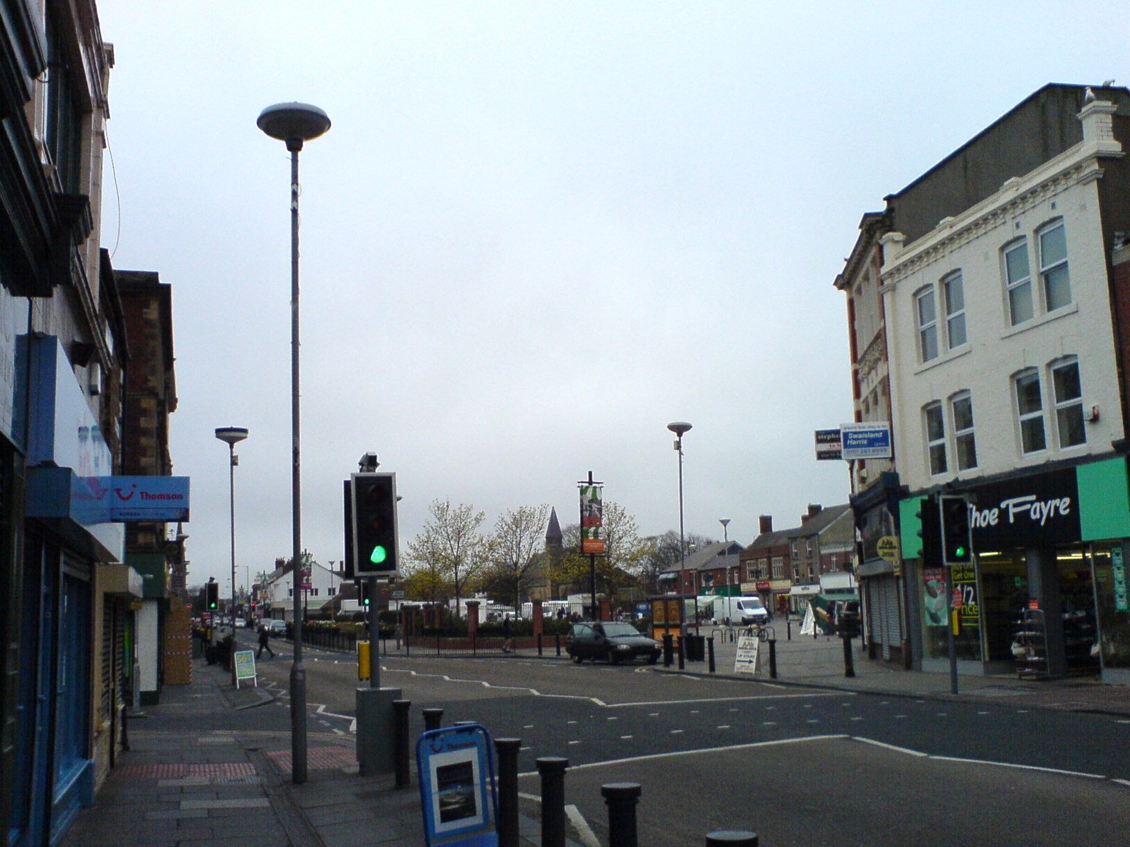
Blyth is a coastal town located in Northumberland, England. Situated on the North Sea coast, it lies approximately 13 miles northeast of Newcastle upon Tyne and is the largest town in the county. Blyth is part of the parliamentary constituency of Blyth Valley and has a population of around 37,000 residents.
The town has a rich history, dating back to the 12th century when it was granted a market charter. Blyth's economy was predominantly reliant on coal mining and shipping during the Industrial Revolution, and it became an important port for the export of coal. However, with the decline of the coal industry, the town has diversified its economy.
Blyth boasts a beautiful coastline, with a sandy beach stretching over three miles in length. The beach is a popular destination for locals and tourists alike, offering stunning views and opportunities for leisurely walks. The town is also home to a picturesque harbor, which has been refurbished in recent years and now serves as a marina for pleasure boats.
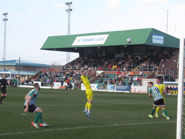
In addition to its natural beauty, Blyth is known for its vibrant arts scene. The town hosts an annual festival called the "Blyth Tall Ships," attracting sailing enthusiasts from around the world. Blyth is also home to the Phoenix Theatre, a community theater that stages a variety of plays, musicals, and performances throughout the year.
Overall, Blyth is a charming coastal town with a rich history, beautiful scenery, and a thriving arts scene, making it an attractive destination for visitors and a pleasant place to call home.
If you have any feedback on the listing, please let us know in the comments section below.
Blyth, North Images
Images are sourced within 2km of 55.134368/-1.508239 or Grid Reference NZ3182. Thanks to Geograph Open Source API. All images are credited.


Blyth, North is located at Grid Ref: NZ3182 (Lat: 55.134368, Lng: -1.508239)
Unitary Authority: Northumberland
Police Authority: Northumbria
What 3 Words
///cheek.turkey.transmitted. Near Blyth, Northumberland
Nearby Locations
Related Wikis

North Blyth Biomass Project
The North Blyth Biomass Project was a proposed biomass-fired power station planned to be located at North Blyth, Northumberland on the north bank of the...

North Blyth, Northumberland
North Blyth is a small settlement in south-east Northumberland, England. It is located to the south east of the village of Cambois and to the north of...
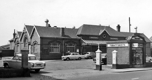
Blyth railway station
Blyth railway station served Blyth, Northumberland on the Blyth Branch line in Northeast England. == History == The Blyth, Seghill and Percy Main Railway...
HMS H41
HMS H41 was a British H class submarine built by Armstrong Whitworth, Newcastle Upon Tyne, England. She was laid down on 17 September 1917 and was commissioned...
Blyth Community Hospital
Blyth Community Hospital is a health facility in Thoroton Street, Blyth, Northumberland, England. It is managed by Northumbria Healthcare NHS Foundation...
Blyth, Northumberland
Blyth () is a town and civil parish in southeast Northumberland, England. It lies on the coast, to the south of the River Blyth and is approximately 13...

Blyth Offshore Wind Farm
Blyth Offshore Wind Farm was a small coastal wind farm located 0.5 miles (0.80 km) off the coast of Blyth, Northumberland, England. == History == Commissioned...
Blyth Lifeboat Station
Blyth Lifeboat Station is operated by the Royal National Lifeboat Institution and currently operates a D Class (IB1) D-746 Alan and Amy.In 2007 the inshore...
Nearby Amenities
Located within 500m of 55.134368,-1.508239Have you been to Blyth, North?
Leave your review of Blyth, North below (or comments, questions and feedback).