Barsham, North

Settlement in Norfolk North Norfolk

England

Barsham, North

Barsham Tunnel Remains of what was Barsham Tunnel on the Wells to Wymondham railway line
Barsham Tunnel Credit: andrew watts

Barsham is a small village located in the North Norfolk district of the county of Norfolk, England. Situated approximately 3 miles south of the town of Fakenham, Barsham is nestled amidst picturesque countryside and rolling farmland. The village is surrounded by the charming rural communities of Hempton, East Barsham, and West Barsham.

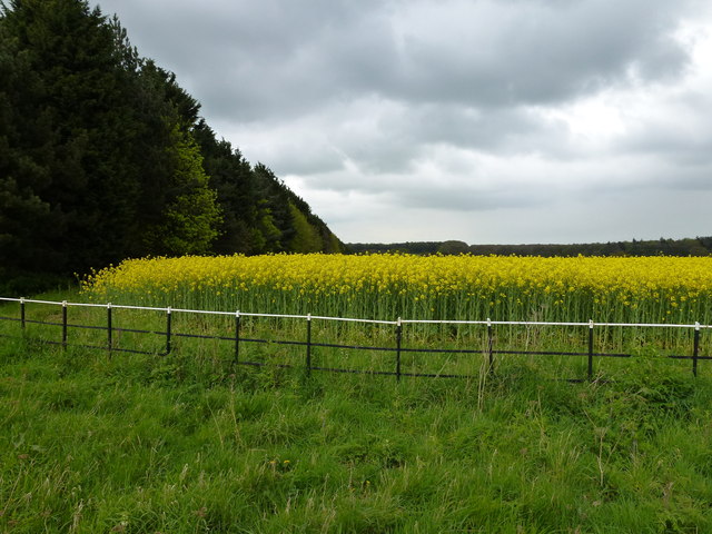
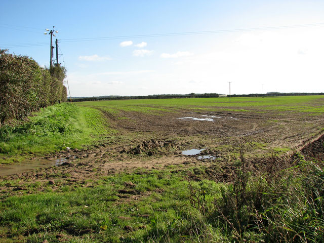
Barsham is known for its tranquil and idyllic setting, making it an attractive destination for those seeking a peaceful retreat from the hustle and bustle of city life. The area is characterized by its stunning natural beauty, with lush green fields, meandering streams, and ancient woodlands.

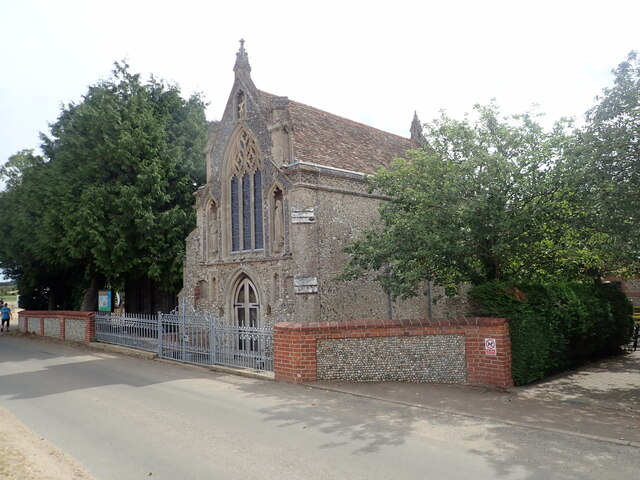
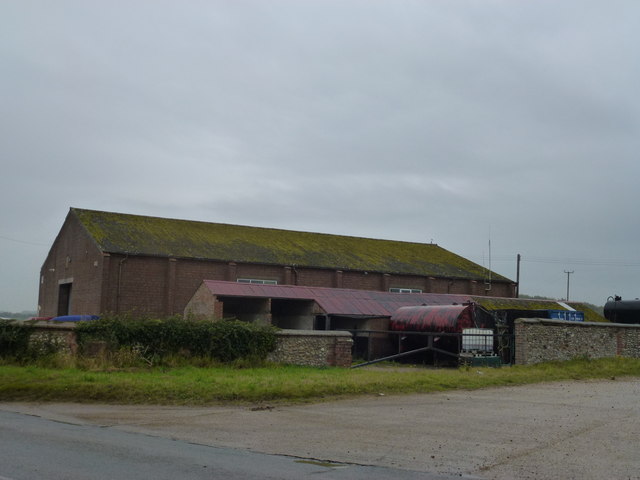
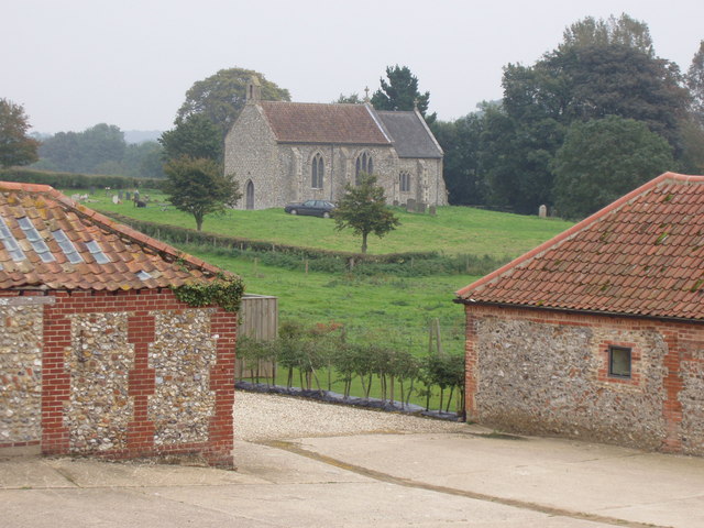
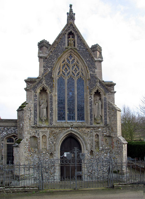
The village itself is relatively small, with a close-knit community of residents. The architecture in Barsham is predominantly traditional, with a mix of historic cottages and farmhouses that have been beautifully preserved over the years. The village church, St. Mary's, is a prominent landmark that dates back to the 12th century and is known for its beautiful stained glass windows and intricate carvings.

Barsham offers limited amenities, with a small local pub being the main hub for social gatherings and community events. However, the nearby town of Fakenham provides a wider range of services, including shops, supermarkets, and other essential facilities.

Overall, Barsham exudes a peaceful and timeless charm, making it an ideal location for nature lovers and those seeking a slower pace of life in the heart of Norfolk's countryside.

If you have any feedback on the listing, please let us know in the comments section below.

Barsham, North Images

Images are sourced within 2km of 52.877531/0.840586 or Grid Reference TF9134. Thanks to Geograph Open Source API. All images are credited.

Barsham Tunnel Remains of what was Barsham Tunnel on the Wells to Wymondham railway line
Barsham Tunnel
Remains of what was Barsham Tunnel on the Wells to Wymondham railway line
Slipper Chapel Shrine of Our Lady of Walsingham, decorated wayside chapel. Listed Grade I
Slipper Chapel
Shrine of Our Lady of Walsingham, decorated wayside chapel. Listed Grade I
Basilica of Our Lady of Walsingham Chapel of Reconciliation, completed in 1981
Basilica of Our Lady of Walsingham
Chapel of Reconciliation, completed in 1981
Churchyard, All Saints' Church, East Barsham
Church of St Giles Named as being in Houghton in the Dale
Church of St Giles
Named as being in Houghton in the Dale
Church of All Saints With its flock attending to the overgrown graveyard
Church of All Saints
With its flock attending to the overgrown graveyard
Old Milepost near Houghton Farm, Houghton St Giles Cast iron post by the UC road, in parish of Barsham (North Norfolk District), 60yds North of entrance to Houghton Farm, Houghton St Giles, on the verge against flint wall, on Southeast side of road. Thos. Brown (Burnham Market) iron casting, erected by the Wells to Fakenham turnpike trust in the 19th century. An earlier photograph can be found here <a title="https://www.geograph.org.uk/photo/6051001" href="https://www.geograph.org.uk/photo/6051001">Link</a>.

Inscription reads:-
TO / NORWICH / 26 / MILES : : HOUGHTON / THE DALE : : TO / WELLS / 6 / MILES

Norfolk HER.
NHER Number: 56500 <span class="nowrap"><a title="https://www.heritagegateway.org.uk/Gateway/Results_Single.aspx?uid=MNF62909&resourceID=1002" rel="nofollow ugc noopener" href="https://www.heritagegateway.org.uk/Gateway/Results_Single.aspx?uid=MNF62909&resourceID=1002">Link</a><img style="margin-left:2px;" alt="External link" title="External link - shift click to open in new window" src="https://s1.geograph.org.uk/img/external.png" width="10" height="10"/></span>

Milestone Society National ID: NO_WF6a
Old Milepost near Houghton Farm, Houghton St Giles
Cast iron post by the UC road, in parish of Barsham (North Norfolk District), 60yds North of entrance to Houghton Farm, Houghton St Giles, on the verge against flint wall, on Southeast side of road. Thos. Brown (Burnham Market) iron casting, erected by the Wells to Fakenham turnpike trust in the 19th century. An earlier photograph can be found here Link. Inscription reads:- TO / NORWICH / 26 / MILES : : HOUGHTON / THE DALE : : TO / WELLS / 6 / MILES Norfolk HER. NHER Number: 56500 LinkExternal link Milestone Society National ID: NO_WF6a
I shot a pheasant (with a camera) Pheasant and feeder in rural Norfolk, between Waterden and North Barsham Farm
I shot a pheasant (with a camera)
Pheasant and feeder in rural Norfolk, between Waterden and North Barsham Farm
Rape and railings in Norfolk At the junction of Grove Road, West Barsham and the main road to Fakenham
Rape and railings in Norfolk
At the junction of Grove Road, West Barsham and the main road to Fakenham
Field Barn on Hand Lane near West Barsham A view from the end of Spring Lane looking over the B1105 on a damp Norfolk afternoon
Field Barn on Hand Lane near West Barsham
A view from the end of Spring Lane looking over the B1105 on a damp Norfolk afternoon
Potato field west of North Barsham Farm
Farm shed west of the B1105 road
Barn beside the B1105 road The barn is situated by the junction of Hand Lane and the B1105 road.
Barn beside the B1105 road
The barn is situated by the junction of Hand Lane and the B1105 road.
The B1105 road past a barn by the junction with Hand Lane Hand Lane here joins the B1105 road. Another lane continues on the other side (at left).  It is called Spring Lane and leads to Waterden Farm, further to the north-west.
The B1105 road past a barn by the junction with Hand Lane
Hand Lane here joins the B1105 road. Another lane continues on the other side (at left). It is called Spring Lane and leads to Waterden Farm, further to the north-west.
Hand Lane Followed in the view direction the track leads to the road which links West and North Barsham, further to the west. For a view of its other end see > <a title="https://www.geograph.org.uk/photo/2122143" href="https://www.geograph.org.uk/photo/2122143">Link</a>.
Hand Lane
Followed in the view direction the track leads to the road which links West and North Barsham, further to the west. For a view of its other end see > Link.
Spring Lane Spring Lane continues from Hand Lane > <a title="https://www.geograph.org.uk/photo/2122345" href="https://www.geograph.org.uk/photo/2122345">Link</a> -  on the other side of the B1105 - leading to Waterden Farm further to the north-west.
Spring Lane
Spring Lane continues from Hand Lane > Link - on the other side of the B1105 - leading to Waterden Farm further to the north-west.
Stacks of straw bales in field south of Spring Lane
Field south of Hand Lane The lane is obscured from view by the hedge seen at left.
Field south of Hand Lane
The lane is obscured from view by the hedge seen at left.
Show me another place!

Barsham, North is located at Grid Ref: TF9134 (Lat: 52.877531, Lng: 0.840586)

Administrative County: Norfolk

District: North Norfolk

Police Authority: Norfolk

What 3 Words

///samplers.crib.bath. Near Fakenham, Norfolk

Related Wikis

North Barsham

North Barsham is a village and former civil parish, now in the parish of Barsham, in the North Norfolk district, in the county of Norfolk, England. In...

Barsham, Norfolk

Barsham is a civil parish in the English county of Norfolk, and includes the villages of East Barsham, North Barsham, West Barsham and Houghton St Giles...

Basilica of Our Lady of Walsingham

The Basilica of Our Lady of Walsingham, informally known as the Slipper Chapel or the Chapel of Saint Catherine of Alexandria, is a Catholic basilica in...
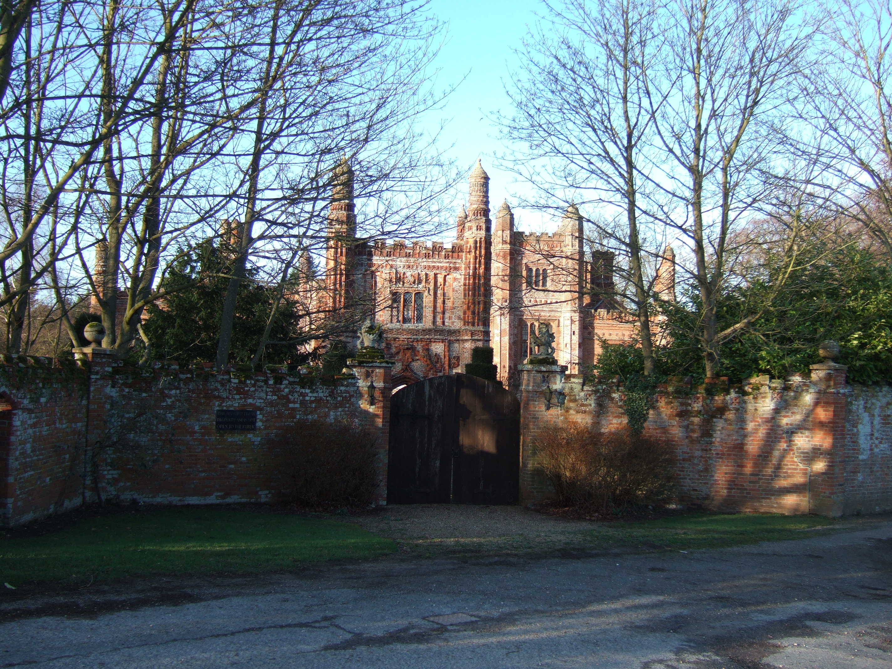
East Barsham Manor

East Barsham Manor is an important work of Tudor architecture, a leading and early example of a prodigy house, originally built in the 1520s. It is located...

Nearby Amenities

Located within 500m of 52.877531,0.840586
Post Box
Collection Times: Mo-Fr 17:15; Sa 09:00
Operator: Royal Mail
Post Box Mounting: telegraph_pole
Post Box Type: lamp
Ref: NR22 2203
Royal Cypher: EIIR
Royal Cypher Wikidata: Q33102113
Lat/Long: 52.8774797/0.8425301
Telephone
Booth: K6
Covered: booth
Payment Coins: no
Lat/Long: 52.8775007/0.8425265
North Barsham
Place: village
Wikidata: Q7054074
Lat/Long: 52.8773068/0.8427676
Power: pole
Lat/Long: 52.8767485/0.847562
Power: pole
Lat/Long: 52.8749742/0.8458024
The data included in this document is from www.openstreetmap.org. The data is made available under ODbL.

Have you been to Barsham, North?

Leave your review of Barsham, North below (or comments, questions and feedback).