Aston, North
Settlement in Oxfordshire Cherwell
England
Aston, North

Aston is a small village located in the North of Oxfordshire, England. It lies roughly five miles to the northeast of the market town of Bicester and is situated within the Cherwell district. Aston is a rural community with a population of around 800 residents.
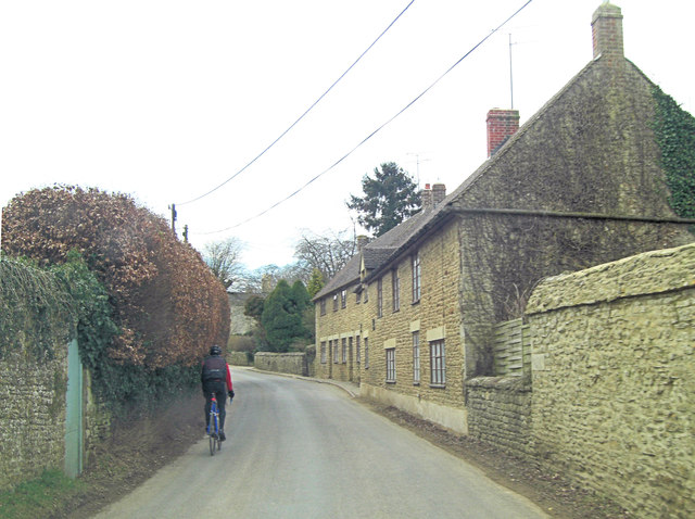
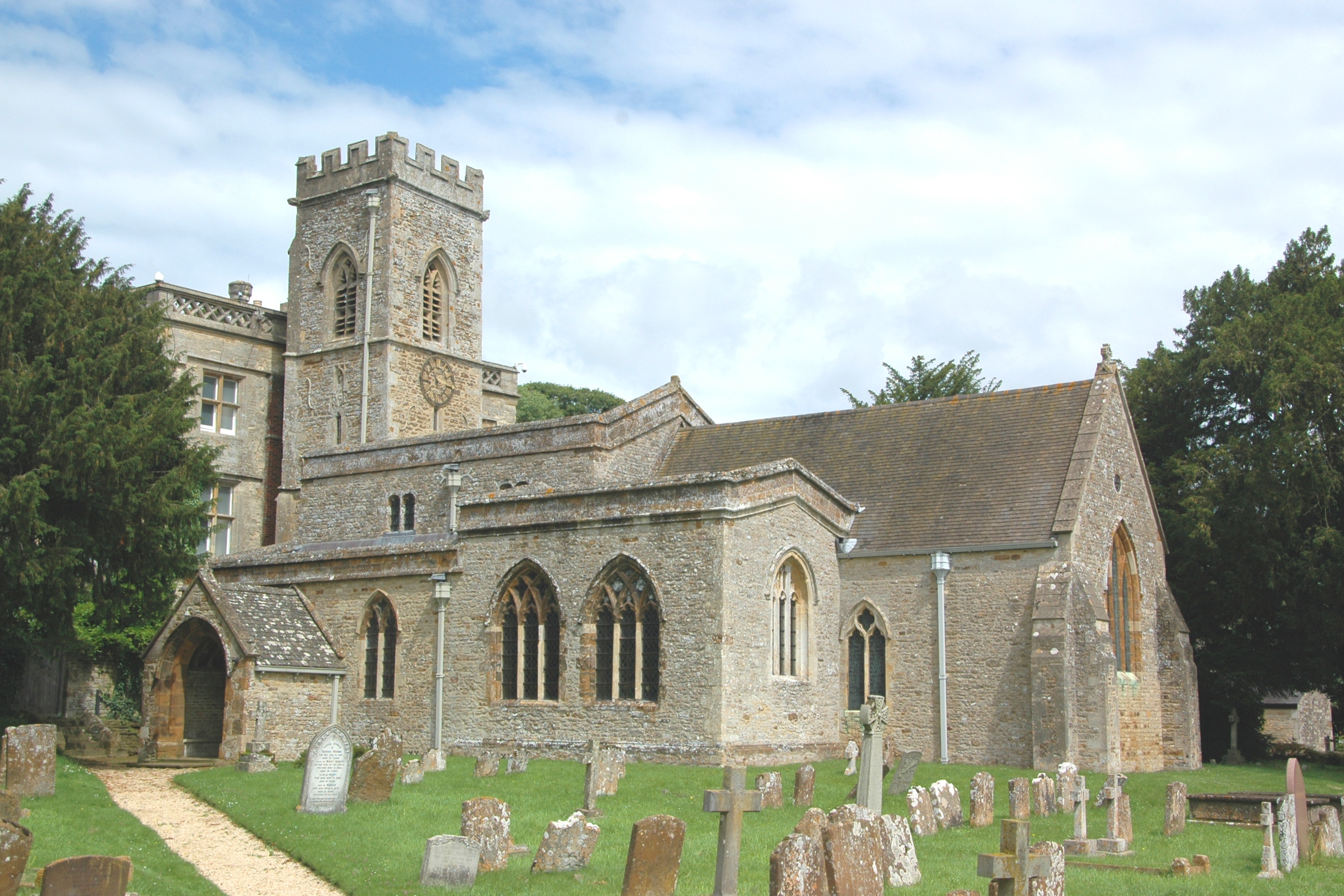
The village is characterized by its picturesque countryside setting, surrounded by fields and farmland. Aston is noted for its charming thatched cottages and historic buildings, including the 12th-century St. James the Great Church which serves as a prominent landmark.
Aston offers a peaceful and tranquil atmosphere, making it a desirable place to live for those seeking a quiet and idyllic village lifestyle. The community is close-knit and friendly, with various community events and activities organized throughout the year, such as an annual summer fete and a Christmas market.
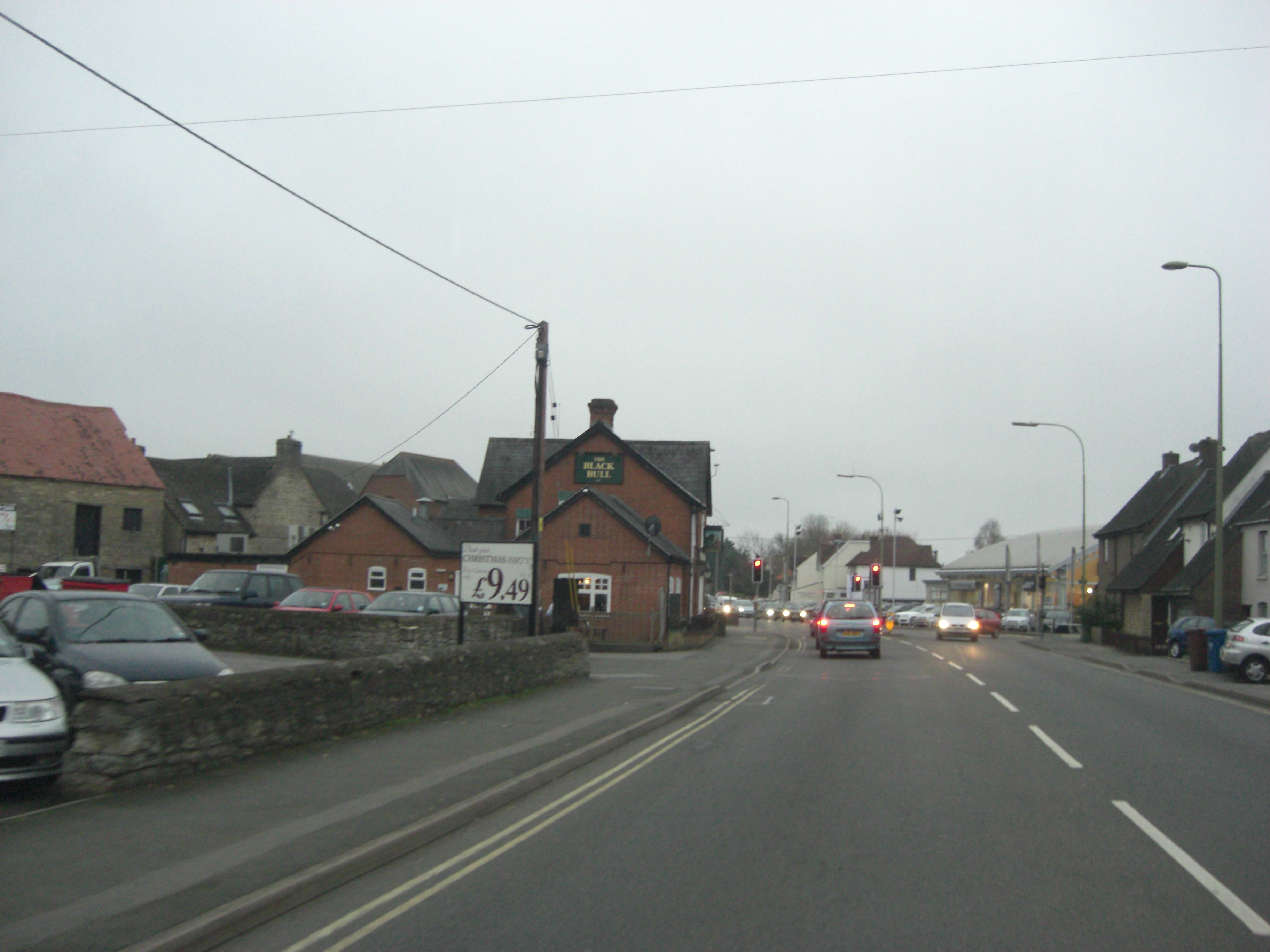
The village amenities include a primary school, a village hall, and a local pub, providing essential services and a hub for social gatherings. Aston is well-connected to neighboring towns and cities via road links, with the A4421 and A34 providing easy access to Bicester, Oxford, and beyond.
For nature enthusiasts, Aston is ideally located near beautiful countryside and walking trails, offering opportunities for outdoor pursuits. The village is also within proximity to Bicester Village, a renowned luxury shopping destination, and the historic city of Oxford with its world-famous university and cultural attractions.
If you have any feedback on the listing, please let us know in the comments section below.
Aston, North Images
Images are sourced within 2km of 51.956313/-1.309504 or Grid Reference SP4728. Thanks to Geograph Open Source API. All images are credited.


Aston, North is located at Grid Ref: SP4728 (Lat: 51.956313, Lng: -1.309504)
Administrative County: Oxfordshire
District: Cherwell
Police Authority: Thames Valley
What 3 Words
///pancakes.nitrogen.tadpole. Near Somerton, Oxfordshire
Nearby Locations
Related Wikis
North Aston
North Aston is a village and civil parish about 7+1⁄2 miles (12 km) south of Banbury and 10 miles (16 km) north of Oxford. The 2001 Census recorded its...
A4260 road
The A4260 is a road that leads from the A422 Henneff Way, Banbury to Frieze Way near Oxford. == History == === Romans === The route followed by the road...

Banbury (UK Parliament constituency)
Banbury, also informally known as Banbury and North Oxfordshire, is a constituency in Oxfordshire created in 1553 and represented in the House of Commons...

Duns Tew
Duns Tew is an English village and civil parish about 7+1⁄2 miles (12 km) south of Banbury in Oxfordshire. The 2011 Census recorded the parish's population...

Middle Aston
Middle Aston is a hamlet and civil parish in the English county of Oxfordshire, about 7 miles (11 km) northwest of Bicester. It used to have a country...
Fritwell & Somerton railway station
Fritwell & Somerton railway station was on the Oxford to Banbury line of the Great Western Railway, and was opened four years after the line, in September...

Somerton, Oxfordshire
Somerton is a village and civil parish in Oxfordshire, England, in the Cherwell valley about 6 miles (10 km) northwest of Bicester. The 2011 Census recorded...
Horsehay Sand Formation
The Horsehay Sand Formation is a geological formation in England. Part of the Great Oolite Group, it was deposited in the Bajocian to Bathonian stages...
Nearby Amenities
Located within 500m of 51.956313,-1.309504Have you been to Aston, North?
Leave your review of Aston, North below (or comments, questions and feedback).