Ashton, North

Settlement in Lancashire

England

Ashton, North

A58 crossing M6
A58 crossing M6 Credit: Alpin Stewart

Ashton, North, Lancashire is a small village located in the county of Lancashire, in the northwestern part of England. Situated near the River Ribble, Ashton is nestled in a picturesque countryside setting, surrounded by rolling hills and green fields.

The village of Ashton is known for its quaint charm and rural atmosphere. It is a close-knit community, with a population of approximately 1,000 residents. The village is primarily residential, with a few small businesses catering to the needs of the locals.

Ashton boasts a rich history, dating back several centuries. Its origins can be traced back to medieval times when it was a farming community. The village has several historic buildings and landmarks, including a medieval church, which serves as a reminder of its heritage.

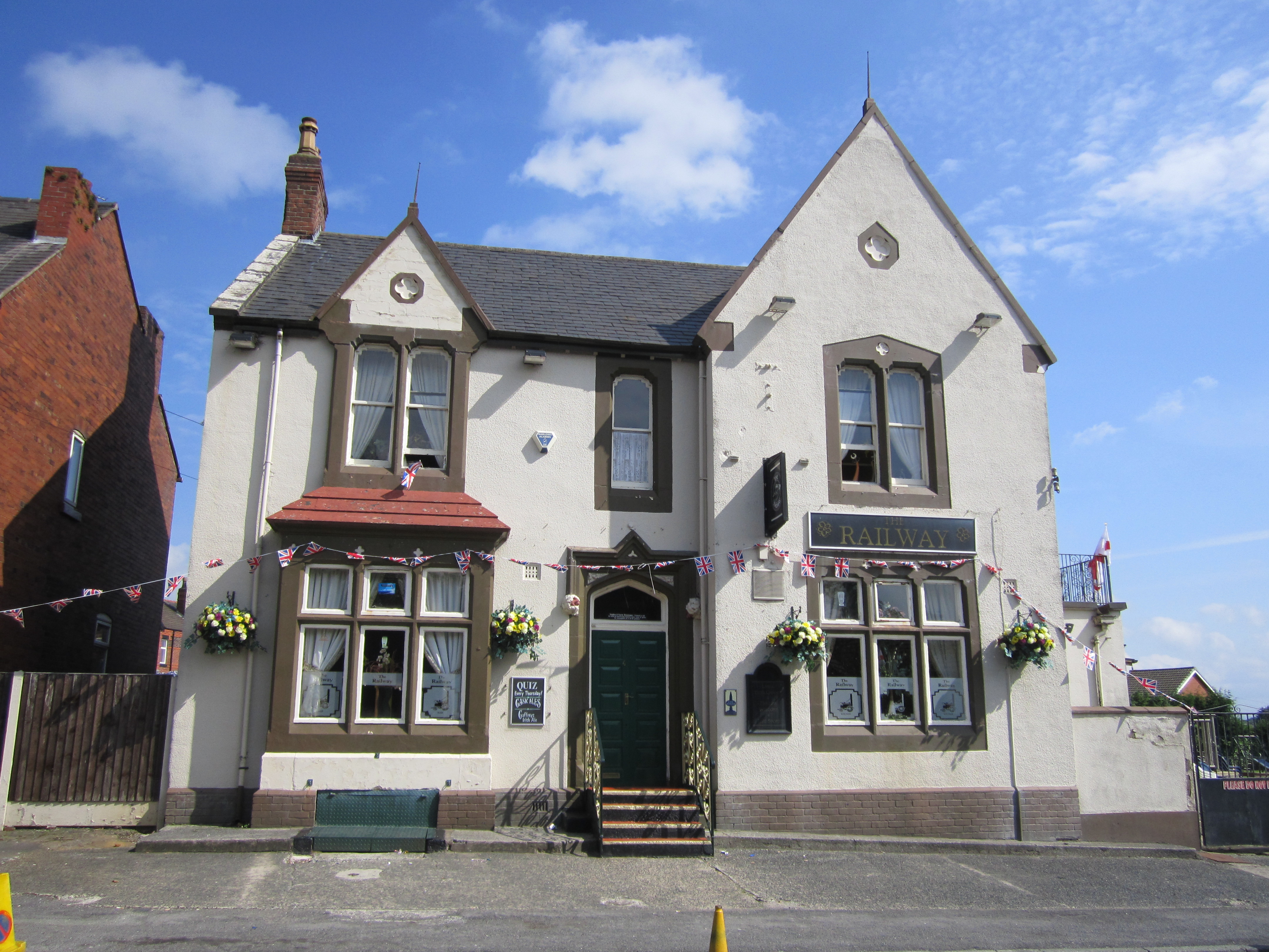
Despite its small size, Ashton offers its residents a range of amenities. There is a primary school, a community center, and a village hall that hosts various events throughout the year. The village also has a local pub, providing a gathering place for locals to socialize and unwind.

The surrounding countryside provides ample opportunities for outdoor activities such as hiking, cycling, and fishing. Ashton is also within close proximity to larger towns and cities, such as Preston and Blackburn, offering residents access to a wider range of services and employment opportunities.

In conclusion, Ashton, North, Lancashire is a charming village with a strong sense of community and a rich history. Its rural setting and proximity to larger towns make it an attractive place to live for those seeking a peaceful and picturesque lifestyle.

If you have any feedback on the listing, please let us know in the comments section below.

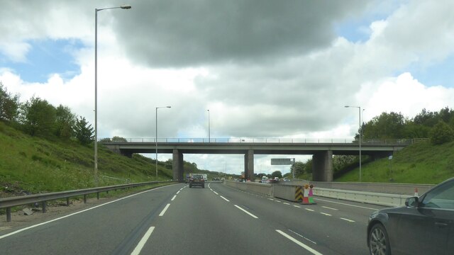
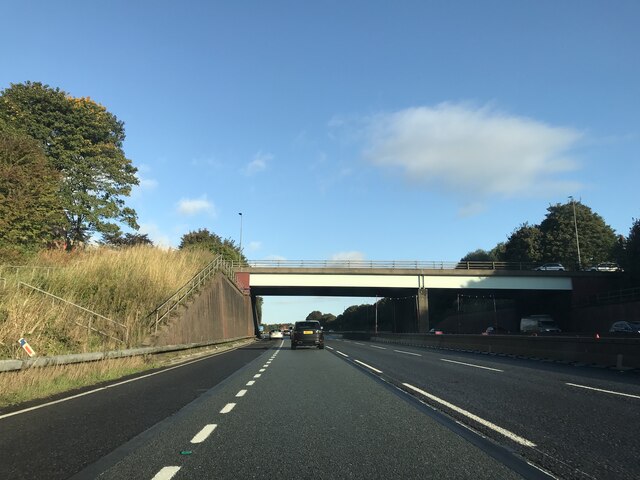
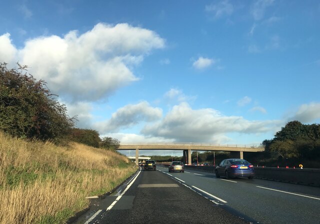
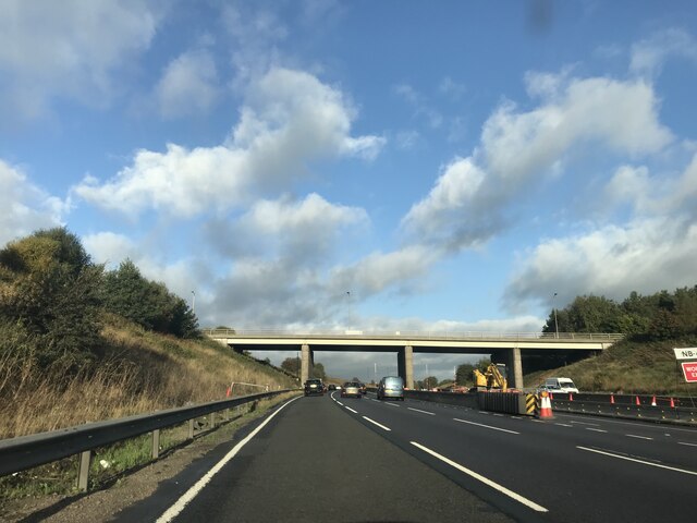
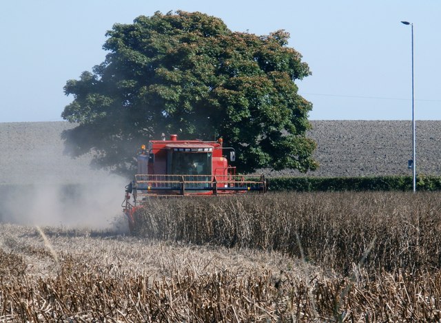
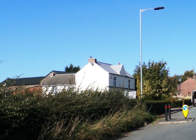
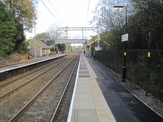
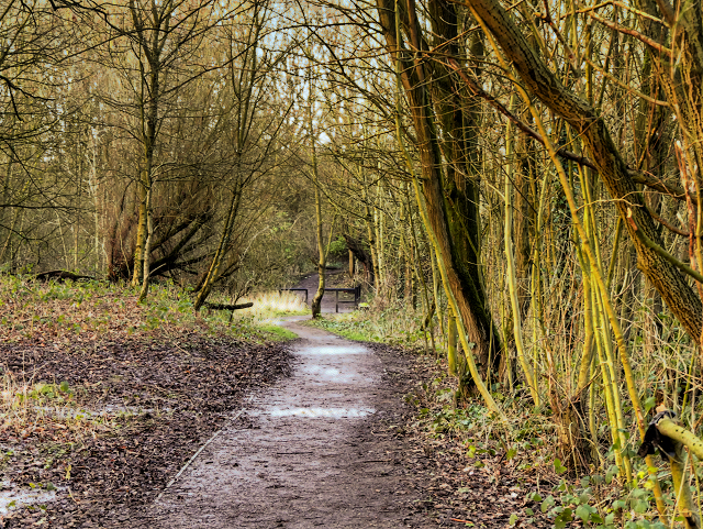
Ashton, North Images

Images are sourced within 2km of 53.501129/-2.666323 or Grid Reference SD5500. Thanks to Geograph Open Source API. All images are credited.

A58 crossing M6
A58 crossing M6
Junction 25 signage - northbound M6
Footbridge  - northbound M6
Footbridge - northbound M6
Downall Green Road crossing M6
Footbridge over M6
Footbridge over M6
A571 crossing the M6
Downall Green Road crossing M6 northbound
Brocstedes Road crossing M6 northbound
Wigan Road crossing M6 northbound
Electricity Pylon near Park House Farm
Lane by Land Gate Industrial Estate
Harvesting - Garswood
Weathercock Hill Farm
Garswood railway station, Merseyside Opened in 1869 by the Lancashire Union Railway on what is now the line from Liverpool Lime Street to Wigan. 
View north east towards Bryn and Wigan shortly after electrification. See <a href="https://www.geograph.org.uk/photo/3444257">SJ5599 : Garswood railway station, Merseyside</a> for a similar view six years earlier.
Garswood railway station, Merseyside
Opened in 1869 by the Lancashire Union Railway on what is now the line from Liverpool Lime Street to Wigan. View north east towards Bryn and Wigan shortly after electrification. See SJ5599 : Garswood railway station, Merseyside for a similar view six years earlier.
Entrance to Skitters Wood from Woodedge Skitters Woodland is relatively small area of ancient woodland on the western side of Ashton-in-Makerfield, which is used by the local community for walking. It has a narrow linear shape with Millingford Brook running through the centre which lies in a natural valley. Examination of old maps shows that the outline shape of Skitters Woodland has not altered since the 1800s with the exception of the  removal of the lake in the 1950s and the building of the motorway straight through in the 1960s. 

It was bordered to the South by Home Farm which farmed the lands up to where the natural valley dropped down to the brook. It was bordered to the North by Old Road Farm which farmed the lands up to where the natural valley dropped down to the brook. It was bordered to the East by the Town Centre. It was bordered to the West by Skitters Farm which was situated off Low Bank Road. It would appear that due to the natural valley of the line of Millingford Brook the farms which bordered the Woodland did not farm in the area around the brook which has allowed the woodland to develop unhindered.  Skitters is now bordered to the North and South by the housing estates built in the 1970s on the farm land.

Skitters is a valued resource for the local community, and was noted as a priority habitat recorded as a Site of  Biological Importance in Wigan Council’s Local Development Framework Core Strategy Core Strategy Preferred Options Report of June 2009. The oldest trees to be found in Skitters are approximately 150 years old.

<span class="nowrap"><a title="http://www.friendsofashton.org.uk/skitters.htm" rel="nofollow ugc noopener" href="http://www.friendsofashton.org.uk/skitters.htm">Link</a><img style="margin-left:2px;" alt="External link" title="External link - shift click to open in new window" src="https://s1.geograph.org.uk/img/external.png" width="10" height="10"/></span>  Friends of Ashton
Entrance to Skitters Wood from Woodedge
Skitters Woodland is relatively small area of ancient woodland on the western side of Ashton-in-Makerfield, which is used by the local community for walking. It has a narrow linear shape with Millingford Brook running through the centre which lies in a natural valley. Examination of old maps shows that the outline shape of Skitters Woodland has not altered since the 1800s with the exception of the removal of the lake in the 1950s and the building of the motorway straight through in the 1960s. It was bordered to the South by Home Farm which farmed the lands up to where the natural valley dropped down to the brook. It was bordered to the North by Old Road Farm which farmed the lands up to where the natural valley dropped down to the brook. It was bordered to the East by the Town Centre. It was bordered to the West by Skitters Farm which was situated off Low Bank Road. It would appear that due to the natural valley of the line of Millingford Brook the farms which bordered the Woodland did not farm in the area around the brook which has allowed the woodland to develop unhindered. Skitters is now bordered to the North and South by the housing estates built in the 1970s on the farm land. Skitters is a valued resource for the local community, and was noted as a priority habitat recorded as a Site of Biological Importance in Wigan Council’s Local Development Framework Core Strategy Core Strategy Preferred Options Report of June 2009. The oldest trees to be found in Skitters are approximately 150 years old. LinkExternal link Friends of Ashton
Skitters Wood Sign Sign on the gate shown in <a href="https://www.geograph.org.uk/photo/4802365">SJ5799 : Entrance to Skitters Wood from Woodedge</a>.
Skitters Wood Sign
Path Through Skitters Wood Skitters Woodland is relatively small area of ancient woodland on the western side of Ashton-in-Makerfield, which is used by the local community for walking. It has a narrow linear shape with Millingford Brook running through the centre which lies in a natural valley. Examination of old maps shows that the outline shape of Skitters Woodland has not altered since the 1800s with the exception of the  removal of the lake in the 1950s and the building of the motorway straight through in the 1960s. 

It was bordered to the South by Home Farm which farmed the lands up to where the natural valley dropped down to the brook. It was bordered to the North by Old Road Farm which farmed the lands up to where the natural valley dropped down to the brook. It was bordered to the East by the Town Centre. It was bordered to the West by Skitters Farm which was situated off Low Bank Road. It would appear that due to the natural valley of the line of Millingford Brook the farms which bordered the Woodland did not farm in the area around the brook which has allowed the woodland to develop unhindered.  Skitters is now bordered to the North and South by the housing estates built in the 1970s on the farm land.

Skitters is a valued resource for the local community, and was noted as a priority habitat recorded as a Site of  Biological Importance in Wigan Council’s Local Development Framework Core Strategy Core Strategy Preferred Options Report of June 2009. The oldest trees to be found in Skitters are approximately 150 years old.

<span class="nowrap"><a title="http://www.friendsofashton.org.uk/skitters.htm" rel="nofollow ugc noopener" href="http://www.friendsofashton.org.uk/skitters.htm">Link</a><img style="margin-left:2px;" alt="External link" title="External link - shift click to open in new window" src="https://s1.geograph.org.uk/img/external.png" width="10" height="10"/></span>  Friends of Ashton
Path Through Skitters Wood
Skitters Woodland is relatively small area of ancient woodland on the western side of Ashton-in-Makerfield, which is used by the local community for walking. It has a narrow linear shape with Millingford Brook running through the centre which lies in a natural valley. Examination of old maps shows that the outline shape of Skitters Woodland has not altered since the 1800s with the exception of the removal of the lake in the 1950s and the building of the motorway straight through in the 1960s. It was bordered to the South by Home Farm which farmed the lands up to where the natural valley dropped down to the brook. It was bordered to the North by Old Road Farm which farmed the lands up to where the natural valley dropped down to the brook. It was bordered to the East by the Town Centre. It was bordered to the West by Skitters Farm which was situated off Low Bank Road. It would appear that due to the natural valley of the line of Millingford Brook the farms which bordered the Woodland did not farm in the area around the brook which has allowed the woodland to develop unhindered. Skitters is now bordered to the North and South by the housing estates built in the 1970s on the farm land. Skitters is a valued resource for the local community, and was noted as a priority habitat recorded as a Site of Biological Importance in Wigan Council’s Local Development Framework Core Strategy Core Strategy Preferred Options Report of June 2009. The oldest trees to be found in Skitters are approximately 150 years old. LinkExternal link Friends of Ashton
Skitters Wood, Millingford Brook Skitters Woodland is relatively small area of ancient woodland on the western side of Ashton-in-Makerfield, which is used by the local community for walking. It has a narrow linear shape with Millingford Brook running through the centre which lies in a natural valley. Examination of old maps shows that the outline shape of Skitters Woodland has not altered since the 1800s with the exception of the  removal of the lake in the 1950s and the building of the motorway straight through in the 1960s. 

It was bordered to the South by Home Farm which farmed the lands up to where the natural valley dropped down to the brook. It was bordered to the North by Old Road Farm which farmed the lands up to where the natural valley dropped down to the brook. It was bordered to the East by the Town Centre. It was bordered to the West by Skitters Farm which was situated off Low Bank Road. It would appear that due to the natural valley of the line of Millingford Brook the farms which bordered the Woodland did not farm in the area around the brook which has allowed the woodland to develop unhindered.  Skitters is now bordered to the North and South by the housing estates built in the 1970s on the farm land.

Skitters is a valued resource for the local community, and was noted as a priority habitat recorded as a Site of  Biological Importance in Wigan Council’s Local Development Framework Core Strategy Core Strategy Preferred Options Report of June 2009. The oldest trees to be found in Skitters are approximately 150 years old.

<span class="nowrap"><a title="http://www.friendsofashton.org.uk/skitters.htm" rel="nofollow ugc noopener" href="http://www.friendsofashton.org.uk/skitters.htm">Link</a><img style="margin-left:2px;" alt="External link" title="External link - shift click to open in new window" src="https://s1.geograph.org.uk/img/external.png" width="10" height="10"/></span>  Friends of Ashton
Skitters Wood, Millingford Brook
Skitters Woodland is relatively small area of ancient woodland on the western side of Ashton-in-Makerfield, which is used by the local community for walking. It has a narrow linear shape with Millingford Brook running through the centre which lies in a natural valley. Examination of old maps shows that the outline shape of Skitters Woodland has not altered since the 1800s with the exception of the removal of the lake in the 1950s and the building of the motorway straight through in the 1960s. It was bordered to the South by Home Farm which farmed the lands up to where the natural valley dropped down to the brook. It was bordered to the North by Old Road Farm which farmed the lands up to where the natural valley dropped down to the brook. It was bordered to the East by the Town Centre. It was bordered to the West by Skitters Farm which was situated off Low Bank Road. It would appear that due to the natural valley of the line of Millingford Brook the farms which bordered the Woodland did not farm in the area around the brook which has allowed the woodland to develop unhindered. Skitters is now bordered to the North and South by the housing estates built in the 1970s on the farm land. Skitters is a valued resource for the local community, and was noted as a priority habitat recorded as a Site of Biological Importance in Wigan Council’s Local Development Framework Core Strategy Core Strategy Preferred Options Report of June 2009. The oldest trees to be found in Skitters are approximately 150 years old. LinkExternal link Friends of Ashton
Show me another place!

Ashton, North is located at Grid Ref: SD5500 (Lat: 53.501129, Lng: -2.666323)

Unitary Authority: Wigan

Police Authority: Greater Manchester

What 3 Words

///ruins.case.broom. Near Ashton in Makerfield, Manchester

Related Wikis

Ashton Athletic F.C.

Ashton Athletic Football Club is a football club based in Ashton-in-Makerfield, Greater Manchester, England. They are currently members of the North West...

Bryn, Greater Manchester

Bryn is a suburb of Ashton-in-Makerfield in the Metropolitan Borough of Wigan in Greater Manchester, England. The population of the suburb at the 2011...

Billinge and Winstanley Urban District

Billinge (from 1927 Billinge and Winstanley) was, from 1872 to 1974, a local government district in the administrative county of Lancashire, England. The...

Garswood United A.F.C.

Garswood United Association Football Club is an English football club based in Garswood, near St Helens, in the ceremonial county of Merseyside and traditional...

Bryn railway station

Bryn railway station is a railway station serving the suburb of Bryn in Ashton-in-Makerfield, Greater Manchester, England. The station is situated on the...

Garswood

Garswood is a village in the Metropolitan Borough of St. Helens, Merseyside, England. The village is within the civil parish of Seneley Green. The parish...

Garswood railway station

Garswood railway station serves the village of Garswood in the Metropolitan Borough of St Helens, Merseyside, England. It is situated on the electrified...

Cansfield High School

Cansfield High School is a coeducational secondary school located in the Ashton-in-Makerfield area of the Metropolitan Borough of Wigan, Greater Manchester...

Nearby Amenities

Located within 500m of 53.501129,-2.666323
Downall Green
Is In: St Helens, Merseyside, England, UK
Place: village
Source: npe
Lat/Long: 53.497347/-2.6694418
Motorway Junction
Bryn Interchange
Ref: 25
Lat/Long: 53.50186/-2.6598266
Crossing
Crossing: unmarked
Crossing Island: yes
Lat/Long: 53.5012676/-2.6616486
Bus Stop
RECTORY ROAD
Bus: yes
Naptan AtcoCode: 2800S11045A
Naptan Bearing: SE
Naptan CommonName: RECTORY ROAD
Naptan Indicator: RECTORY ROAD
Naptan Landmark: OPP 119 O/S HOLY TRINITY CHURCH
Naptan NaptanCode: meradmwm
Naptan Notes: No Notes
Naptan ShortCommonName: Rectory Rd
Naptan Street: RECTORY ROAD
Naptan Verified: no
Public Transport: platform
Source: naptan_import
Lat/Long: 53.4987274/-2.6686602
Bus Stop
RECTORY RD/BOOTHS BROW RD
Bus: yes
Naptan AtcoCode: 2800S11045B
Naptan Bearing: NW
Naptan CommonName: RECTORY RD/BOOTHS BROW RD
Naptan Indicator: RECTORY ROAD/BOOTHS BROW ROAD
Naptan Landmark: NR 139
Naptan NaptanCode: meradmwp
Naptan Notes: No Notes
Naptan ShortCommonName: Rectory Road
Naptan Street: RECTORY ROAD
Naptan Verified: no
Public Transport: platform
Source: naptan_import
Lat/Long: 53.4990277/-2.6696147
Bus Stop
Downall Green Road/Post Office
Bus: yes
Naptan AtcoCode: 1800WK45151
Naptan Bearing: SW
Naptan CommonName: Downall Green Road/Post Office
Naptan Indicator: Os House 291
Naptan Landmark: HOUSE 291
Naptan NaptanCode: mantdpdp
Naptan PlusbusZoneRef: MNCRPIC
Naptan ShortCommonName: Post Office
Naptan Street: Downall Green Road
Naptan Verified: no
Network: TfGM
Public Transport: platform
Source: naptan_import
Lat/Long: 53.5013768/-2.6609979
Bus Stop
Downall Green Road/Post Office
Bus: yes
Naptan AtcoCode: 1800WK45161
Naptan Bearing: NE
Naptan CommonName: Downall Green Road/Post Office
Naptan Indicator: Primary School
Naptan Landmark: PRIMARY SCHOOL
Naptan NaptanCode: mantdpdt
Naptan PlusbusZoneRef: MNCRPIC
Naptan ShortCommonName: Post Office
Naptan Street: Downall Green Road
Naptan Verified: no
Network: TfGM
Public Transport: platform
Source: naptan_import
Lat/Long: 53.5014476/-2.661195
Bus Stop
Downall Green Road/Booths Brow Road
Bus: yes
Naptan AtcoCode: 1800WK45171
Naptan Bearing: NE
Naptan CommonName: Downall Green Road/Booths Brow Road
Naptan Indicator: Os House 404
Naptan Landmark: HOUSE 404
Naptan NaptanCode: mantdpdw
Naptan PlusbusZoneRef: MNCRPIC
Naptan ShortCommonName: Booths Brow Road
Naptan Street: Downall Green Road
Naptan Verified: no
Network: TfGM
Public Transport: platform
Source: naptan_import
Lat/Long: 53.4997895/-2.6635662
Bus Stop
Booth's Brow Road/Downall Green Road
Bus: yes
Naptan AtcoCode: 1800WK45181
Naptan Bearing: NW
Naptan CommonName: Booth's Brow Road/Downall Green Road
Naptan Indicator: Os House 3a
Naptan Landmark: OS HOUSE 3A
Naptan NaptanCode: mantdpga
Naptan PlusbusZoneRef: MNCRPIC
Naptan ShortCommonName: Downall Green Rd
Naptan Street: Booth's Brow Road
Naptan Verified: no
Network: TfGM
Public Transport: platform
Source: naptan_import
Lat/Long: 53.4996692/-2.6641824
Bus Stop
Booth's Brow Road/Brocstedes Avenue
Bus: yes
Naptan AtcoCode: 1800WK45191
Naptan Bearing: E
Naptan CommonName: Booth's Brow Road/Brocstedes Avenue
Naptan Indicator: Os House 50
Naptan Landmark: HOUSE 50
Naptan NaptanCode: mantdpgd
Naptan ShortCommonName: Brocstedes Avenue
Naptan Street: Booth's Brow Road
Naptan Verified: no
Network: TfGM
Public Transport: platform
Source: naptan_import
Lat/Long: 53.5002975/-2.6659712
Bus Stop
Booths Brow Road/Brocstedes Road
Bus: yes
Naptan AtcoCode: 1800WK45201
Naptan Bearing: W
Naptan CommonName: Booths Brow Road/Brocstedes Road
Naptan Indicator: Os House 51
Naptan Landmark: BUILDING 51
Naptan NaptanCode: mantdpgj
Naptan Notes: INDICATOR AMENDED
Naptan PlusbusZoneRef: MNCRPIC
Naptan ShortCommonName: Brocstedes Road
Naptan Street: Booth's Brow Road
Naptan Verified: no
Network: TfGM
Public Transport: platform
Source: naptan_import
Lat/Long: 53.5003313/-2.6663637
Man Made: tower
Note: Approximate location
Source: survey
Tower Type: communication
Lat/Long: 53.5051973/-2.6637306
Parking
Lat/Long: 53.5031973/-2.6648909
Brocstedes Park
Leisure: park
Lat/Long: 53.5015956/-2.6630971
Post Box
Operator: Royal Mail
Operator Wikidata: Q638098
Post Box Type: lamp
Ref: WN4 124
Royal Cypher: EIIR
Lat/Long: 53.5015649/-2.6599944
M Capelli
Shop: hairdresser
Lat/Long: 53.5013171/-2.6608421
Leisure: park
Lat/Long: 53.4969766/-2.6675234
Bench
Lat/Long: 53.5020137/-2.6624732
Bench
Lat/Long: 53.5018568/-2.6625434
Traffic Calming: cushion
Lat/Long: 53.4977707/-2.6702508
Traffic Calming: cushion
Lat/Long: 53.4983296/-2.6703493
Traffic Calming: cushion
Lat/Long: 53.4981981/-2.6693868
Traffic Calming: cushion
Lat/Long: 53.498613/-2.6699719
Parking
Operator: Church
Operator Type: private
Lat/Long: 53.5020313/-2.66105
Parking
Lat/Long: 53.498062/-2.6681523
Post Box
Operator: Royal Mail
Operator Wikidata: Q638098
Post Box Type: pillar
Ref: WN4 134
Lat/Long: 53.4982764/-2.6684163
Addr City: Ashton-in-Makerfield
Addr Housenumber: 330
Addr Street: Downall Green Road
Source: survey
Lat/Long: 53.5012277/-2.6622385
Addr City: Ashton-in-Makerfield
Addr Housenumber: 386
Addr Street: Downall Green Road
Lat/Long: 53.5001943/-2.6633218
Addr City: Ashton-in-Makerfield
Addr Housenumber: 412
Addr Street: Downall Green Road
Source: survey
Lat/Long: 53.4996925/-2.6638354
Addr Housename: Faith Cottages
Lat/Long: 53.4997729/-2.6637678
Addr City: Ashton-in-Makerfield
Addr Housenumber: 388
Addr Street: Downall Green Road
Source: survey
Lat/Long: 53.5001186/-2.6633974
Addr City: Ashton-in-Makerfield
Addr Housenumber: 236
Addr Street: Downall Green Road
Lat/Long: 53.5020029/-2.6589199
Addr City: Ashton-in-Makerfield
Addr Housenumber: 24
Addr Street: Booths Brow Road
Source: survey
Lat/Long: 53.4998861/-2.6640659
Addr City: Ashton-in-Makerfield
Addr Housenumber: 1B
Addr Street: Booths Brow Road
Source: survey
Lat/Long: 53.4996102/-2.6642222
Addr City: Ashton-in-Makerfield
Addr Housenumber: 17
Addr Street: Booths Brow Road
Source: survey
Lat/Long: 53.4998384/-2.6645616
Addr City: Ashton-in-Makerfield
Addr Housenumber: 34
Addr Street: Booths Brow Road
Source: survey
Lat/Long: 53.5002873/-2.665091
Addr City: Ashton-in-Makerfield
Addr Housenumber: 42C
Addr Street: Booths Brow Road
Note: 2019 build.
Lat/Long: 53.500647/-2.6652499
Barrier: cycle_barrier
Lat/Long: 53.5012081/-2.6668351
Addr City: Ashton-in-Makerfield
Addr Housenumber: 430
Addr Street: Downall Green Road
Source: survey
Lat/Long: 53.4989828/-2.6643275
Addr City: Ashton-in-Makerfield
Addr Housenumber: 414
Addr Street: Downall Green Road
Lat/Long: 53.4994516/-2.6640323
Addr City: Ashton-in-Makerfield
Addr Housenumber: 428
Addr Street: Downall Green Road
Lat/Long: 53.4991509/-2.664244
Addr City: Ashton-in-Makerfield
Addr Housenumber: 444
Addr Street: Downall Green Road
Source: survey
Lat/Long: 53.4985544/-2.6647969
Generator Method: photovoltaic
Generator Output Electricity: yes
Generator Source: solar
Generator Type: solar_photovoltaic_panel
Location: roof
Power: generator
Lat/Long: 53.4986957/-2.665124
Traffic Calming: cushion
Lat/Long: 53.4977798/-2.6690214
The data included in this document is from www.openstreetmap.org. The data is made available under ODbL.

Have you been to Ashton, North?

Leave your review of Ashton, North below (or comments, questions and feedback).