Ascot, North
Settlement in Berkshire
England
Ascot, North

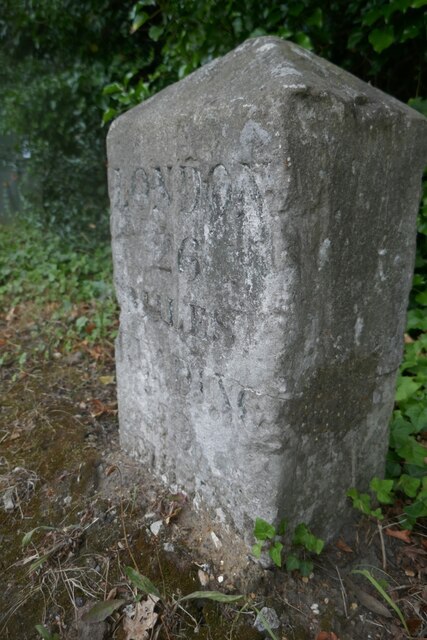
Ascot is a small town located in the county of Berkshire, England. It is situated approximately 25 miles west of London and lies within the civil parish of Sunninghill and Ascot. Ascot is perhaps best known for its world-renowned racecourse, which hosts the prestigious Royal Ascot horse racing event each year.
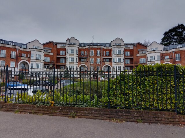
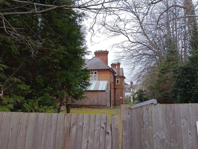
The town itself is surrounded by beautiful countryside, with the picturesque Windsor Great Park to the north and the stunning Chobham Common to the south. Ascot is an affluent area, with many large, luxurious homes and estates dotted throughout the town and its surroundings.
In addition to its racing heritage, Ascot also offers a range of amenities and attractions. The town center is home to a variety of boutiques, cafes, and restaurants, catering to both locals and visitors alike. The area has several well-regarded schools, contributing to its appeal for families.
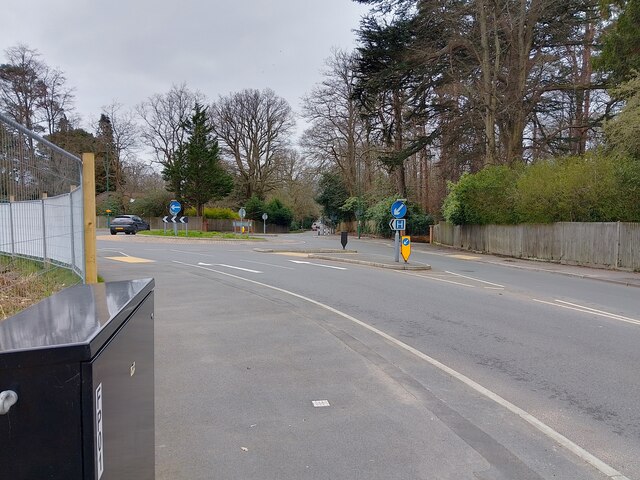
Transportation options in Ascot are excellent, with the town being well-connected by both road and rail. The M3 and M4 motorways are easily accessible, providing convenient links to London and other major cities. Ascot railway station offers regular services to London Waterloo, Reading, and other nearby towns.
Overall, Ascot is a charming and idyllic town that combines a rich racing heritage with natural beauty and a high standard of living. With its prestigious racecourse, stunning surroundings, and convenient location, Ascot is a highly desirable place to reside and visit.
If you have any feedback on the listing, please let us know in the comments section below.
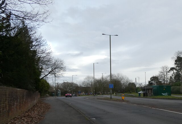
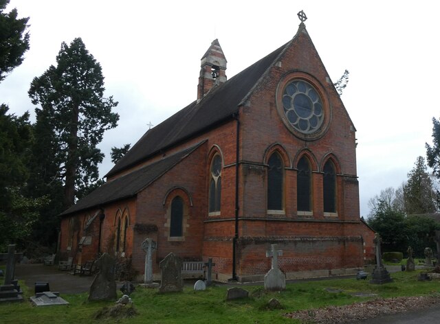
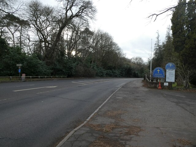
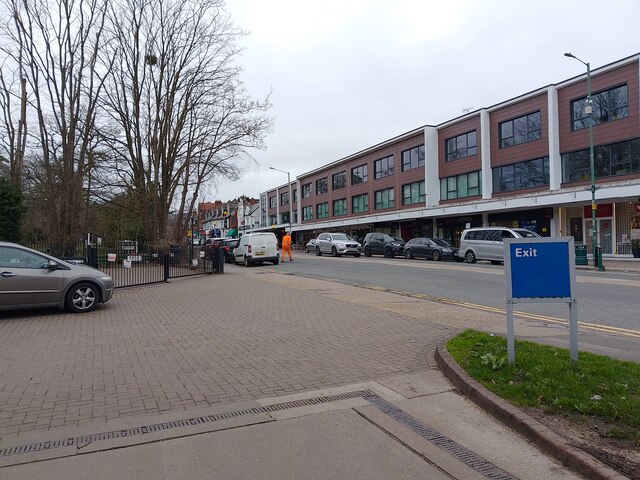
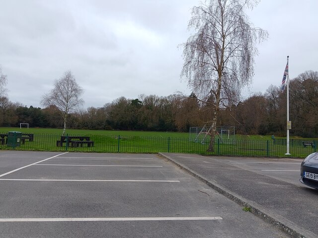
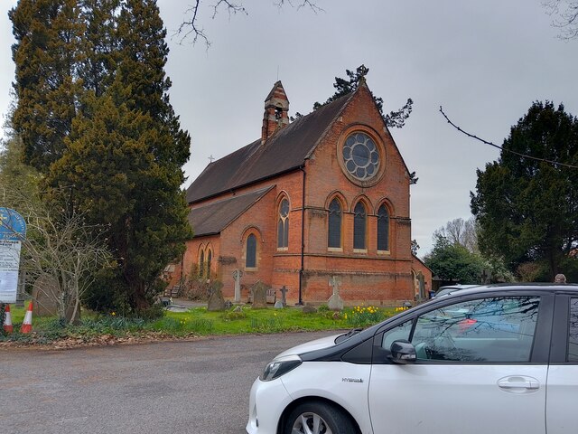
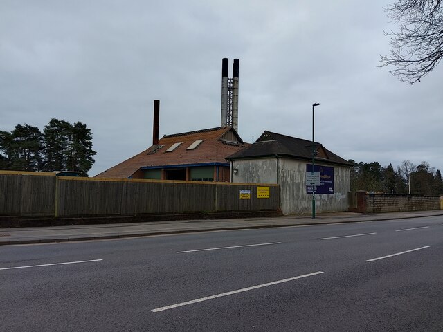
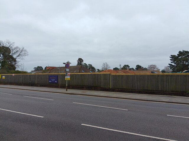
Ascot, North Images
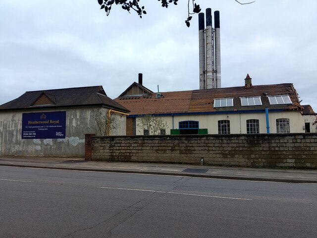
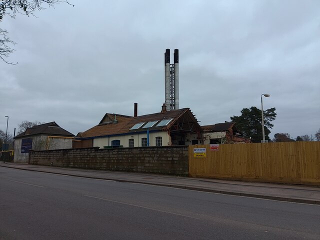
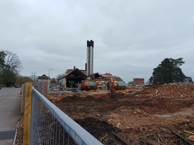
Images are sourced within 2km of 51.419124/-0.693975 or Grid Reference SU9069. Thanks to Geograph Open Source API. All images are credited.

Ascot, North is located at Grid Ref: SU9069 (Lat: 51.419124, Lng: -0.693975)
Unitary Authority: Bracknell Forest
Police Authority: Thames Valley
What 3 Words
///hurls.socket.loses. Near Ascot, Berkshire
Nearby Locations
Related Wikis

Burleigh, Berkshire
Burleigh is a village in Berkshire, England, within the civil parish of Winkfield. It lies east of the A332 road and about 1 mile (1.6 km) west of Ascot...
North Ascot
North Ascot is an area of Bracknell Forest in the county of Berkshire in England, with a few acres straddling the town of Ascot in the Royal Borough of...

Ascot Priory
Ascot Priory is a former priory in Berkshire, England, established in 1861. It was the mother house of the Society of the Most Holy Trinity, a community...
Heatherdown School
Heatherdown School, formally called Heatherdown Preparatory School, was an independent preparatory school for boys, near Ascot, in the English county of...
LVS Ascot
LVS Ascot is a private, co-educational, day and boarding school for pupils aged 4 to 18, situated near Ascot in the English county of Berkshire. It is...
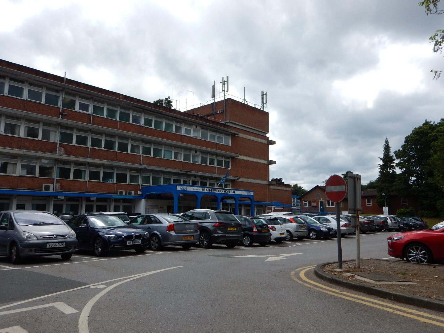
Heatherwood Hospital
Heatherwood Hospital is an NHS hospital in Ascot, Berkshire. It is managed by Frimley Health NHS Foundation Trust. == History == The hospital has its origins...
Chavey Down
Chavey Down is a hamlet partly in Ascot, Berkshire, England, and part of the civil parish of Winkfield. The settlement lies near to the A329 road, and...
Papplewick School
Papplewick School is a non-selective independent day and boarding preparatory school for boys aged 6–13 (Years 2–8) in Ascot, England. It occupies a 15...
Nearby Amenities
Located within 500m of 51.419124,-0.693975Have you been to Ascot, North?
Leave your review of Ascot, North below (or comments, questions and feedback).