Anston, North

Settlement in Yorkshire

England

Anston, North

The Bird Scrape, North Anston This photograph was taken from the top of the reclaimed Dinnington colliery site. The bird scrape was the idea of the SK58 Birders Group, and there is now a hide close by to watch wading birds.
The Bird Scrape, North Anston Credit: Robin Stonebridge

Anston is a small village located in the North of Yorkshire, England. It falls under the jurisdiction of the Metropolitan Borough of Rotherham. Situated approximately 6 miles southeast of Rotherham town center, Anston is nestled between the cities of Sheffield and Worksop. The village is split into two main areas: North Anston and South Anston.

North Anston, commonly referred to as just "Anston," is home to a population of around 5,000 people. It is a predominantly residential area with a mix of housing styles, from traditional stone cottages to more modern developments. The village boasts a strong community spirit and offers a range of local amenities, including shops, pubs, and eateries.

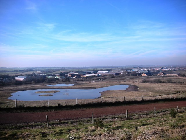
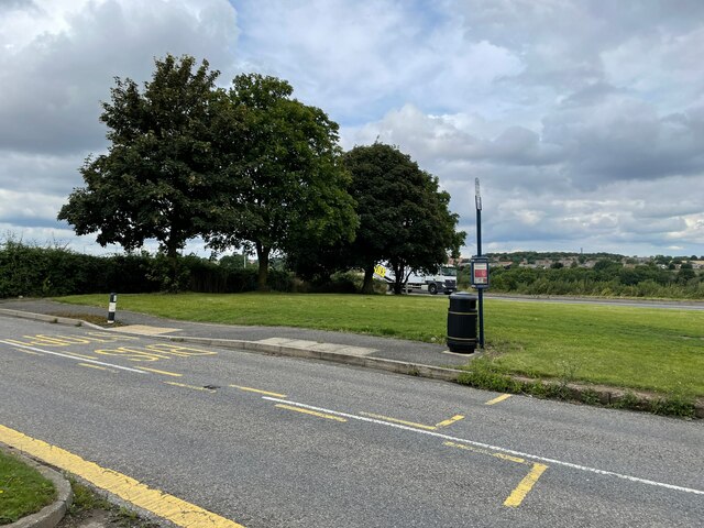
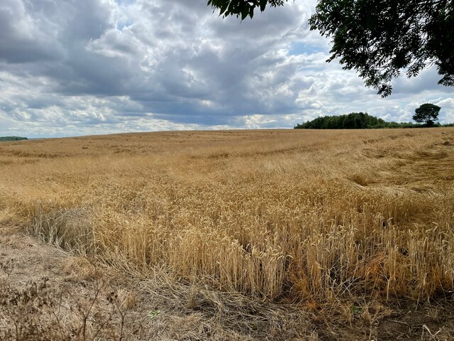
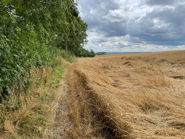
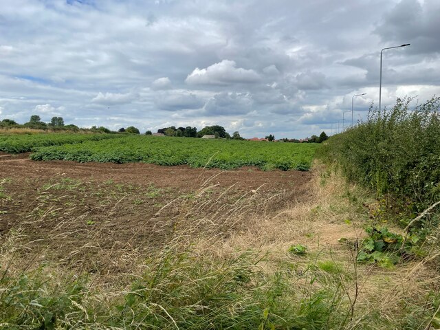
Anston is renowned for its picturesque countryside, with several green spaces and nature reserves nearby. The most notable of these is Anston Stones Wood, a Site of Special Scientific Interest (SSSI). This ancient woodland is home to a variety of wildlife, including rare bird species and wildflowers. It provides residents and visitors with opportunities for leisurely walks, birdwatching, and exploring nature.

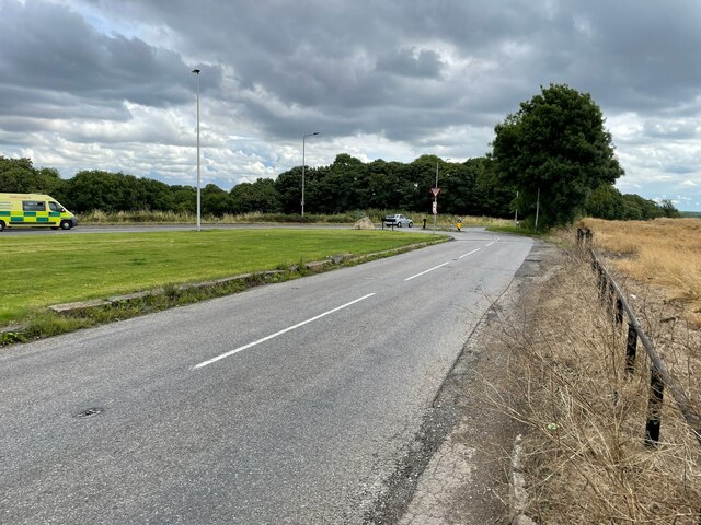
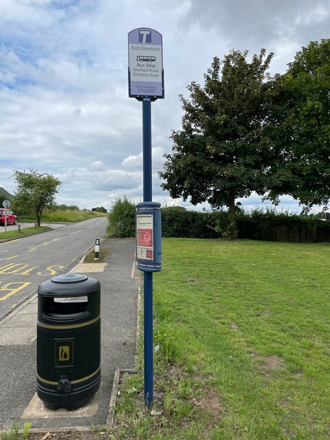
The village is well-connected to neighboring towns and cities, with good road links to the M1 motorway and A57. Additionally, Anston is served by regular bus services, making it easily accessible for those without private transportation.

In summary, Anston is a charming village located in the heart of North Yorkshire. With its idyllic surroundings, close-knit community, and convenient transport links, it offers a peaceful retreat while still providing access to nearby urban centers.

If you have any feedback on the listing, please let us know in the comments section below.

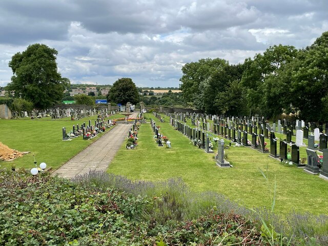
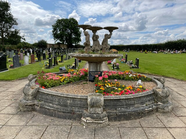
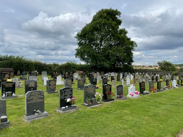
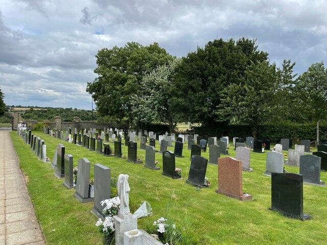
Anston, North Images

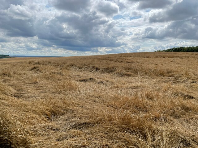
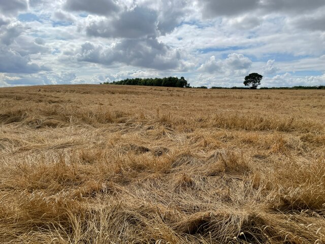
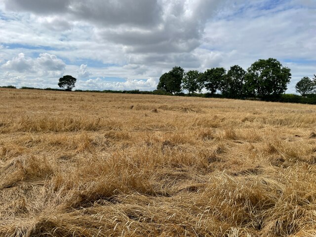
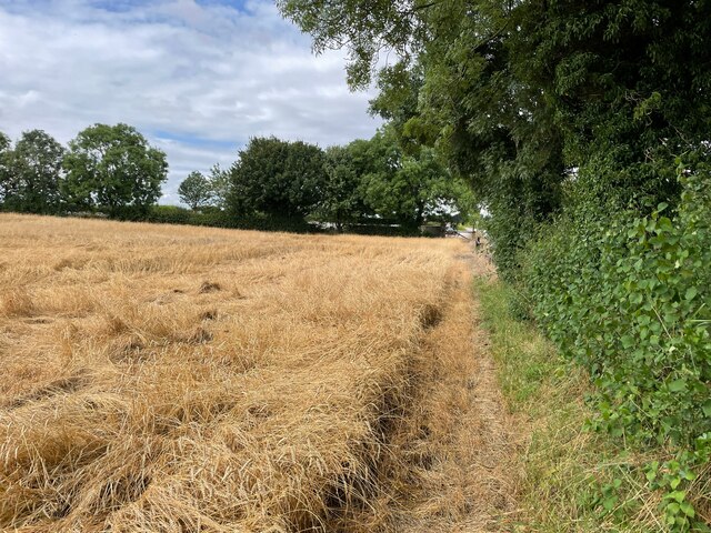
Images are sourced within 2km of 53.354777/-1.223107 or Grid Reference SK5184. Thanks to Geograph Open Source API. All images are credited.

The Bird Scrape, North Anston This photograph was taken from the top of the reclaimed Dinnington colliery site. The bird scrape was the idea of the SK58 Birders Group, and there is now a hide close by to watch wading birds.
The Bird Scrape, North Anston
This photograph was taken from the top of the reclaimed Dinnington colliery site. The bird scrape was the idea of the SK58 Birders Group, and there is now a hide close by to watch wading birds.
Anston Burial Ground
Bus stop on B6059
Bus stop on B6059
B6059 / A57
B6059 / A57
Farmland east of South Anston
Bus stop on B6059
Bus stop on B6059
Farmland east of South Anston
Show me another place!

Anston, North is located at Grid Ref: SK5184 (Lat: 53.354777, Lng: -1.223107)

Division: West Riding

Unitary Authority: Rotherham

Police Authority: South Yorkshire

What 3 Words

///requiring.nerd.steepest. Near Dinnington, South Yorkshire

Nearby Locations

Anston, North North Anston

Related Wikis

Anston

Anston is a civil parish in South Yorkshire, England, formally known as North and South Anston. The parish of Anston consists of the settlements of North...

Anston railway station

Anston railway station was situated on the Great Central and Midland Joint Railway line between the villages of North Anston and South Anston near Rotherham...

Beighton (ward)

Beighton ()—which includes the districts of Beighton, Hackenthorpe, Owlthorpe, and Sothall—is one of the 28 electoral wards in City of Sheffield, England...

St James Church, Anston

St James Church, Anston is a grade I listed Church of England parish church situated in Anston, South Yorkshire, England. == History == Anston has had...

Nearby Amenities

Located within 500m of 53.354777,-1.223107
North Anston
Place: village
Lat/Long: 53.3548139/-1.220145
Bus Stop
Ryton Road/Sikes Road
Bus: yes
Naptan AtcoCode: 370030088
Naptan Bearing: NE
Naptan CommonName: Ryton Road/Sikes Road
Naptan Indicator: 30088
Naptan Landmark: CHURCH HALL
Naptan PlusbusZoneRef: ROTHCEN
Naptan Street: Ryton Road
Naptan Verified: no
Public Transport: platform
Source: naptan_import
Lat/Long: 53.3526806/-1.2197318
Bus Stop
Ryton Road/Sikes Road
Bus: yes
Naptan AtcoCode: 370030089
Naptan Bearing: SW
Naptan CommonName: Ryton Road/Sikes Road
Naptan Indicator: 30089
Naptan Landmark: NORTH GLASS CENTRE
Naptan PlusbusZoneRef: ROTHCEN
Naptan Street: Ryton Road
Naptan Verified: no
Public Transport: platform
Source: naptan_import
Lat/Long: 53.3529744/-1.2192907
Bus Stop
Woodsetts Road/Nursery Road
Alt Name: Woodsetts Road/Nursery Road
Bus: yes
Naptan AltCommonName: Woodsetts Road/Nursery Road
Naptan AtcoCode: 370030090
Naptan Bearing: E
Naptan CommonName: Woodsetts Road/Nursery Road
Naptan Indicator: 30090
Naptan Landmark: The Cutler Pub
Naptan PlusbusZoneRef: ROTHCEN
Naptan Street: Woosetts Road
Naptan Verified: no
Public Transport: platform
Source: naptan_import
Lat/Long: 53.3564591/-1.2188214
Bus Stop
Ryton Road/Worksop Road
Alt Name: Ryton Road/Worksop Road
Bus: yes
Naptan AltCommonName: Ryton Road/Worksop Road
Naptan AtcoCode: 370030113
Naptan Bearing: SW
Naptan CommonName: Ryton Road/Worksop Road
Naptan Indicator: 30113
Naptan Landmark: BRIDGE
Naptan PlusbusZoneRef: ROTHCEN
Naptan Street: Ryton Road
Naptan Verified: no
Public Transport: platform
Source: naptan_import
Lat/Long: 53.3507792/-1.2203825
Bus Stop
Ryton Road
Alt Name: Ryton Road
Bus: yes
Naptan AltCommonName: Ryton Road
Naptan AtcoCode: 370031589
Naptan Bearing: NE
Naptan CommonName: Ryton Road
Naptan Indicator: 31589
Naptan Landmark: Railway Bridge
Naptan PlusbusZoneRef: ROTHCEN
Naptan Street: Ryton Road
Naptan Verified: no
Public Transport: platform
Source: naptan_import
Lat/Long: 53.3520629/-1.2201187
Bus Stop
Sheffield Road/Mill Lane
Bus: yes
Naptan AtcoCode: 370035190
Naptan Bearing: SE
Naptan CommonName: Sheffield Road/Mill Lane
Naptan Indicator: 35190
Naptan Landmark: 35190
Naptan PlusbusZoneRef: ROTHCEN
Naptan Street: Sheffield Road
Naptan Verified: no
Public Transport: platform
Source: naptan_import
Lat/Long: 53.3507088/-1.2261376
Bus Stop
Nursery Road/Woodsetts Road
Alt Name: Nursery Road/Woodsetts Road
Bus: yes
Naptan AltCommonName: Nursery Road/Woodsetts Road
Naptan AtcoCode: 370035217
Naptan Bearing: SE
Naptan CommonName: Nursery Road/Woodsetts Road
Naptan Indicator: 35217
Naptan Landmark: THE CUTLER PUB
Naptan PlusbusZoneRef: ROTHCEN
Naptan Street: Nursery Road
Naptan Verified: no
Public Transport: platform
Source: naptan_import
Lat/Long: 53.3560837/-1.2191588
Bus Stop
The Baulk/Back Lane
Alt Name: The Baulk/Back Lane
Bus: yes
Naptan AltCommonName: The Baulk/Back Lane
Naptan AtcoCode: 370035218
Naptan Bearing: NW
Naptan CommonName: The Baulk/Back Lane
Naptan Indicator: 35218
Naptan Landmark: 35218
Naptan PlusbusZoneRef: ROTHCEN
Naptan Street: The Baulk
Naptan Verified: no
Public Transport: platform
Source: naptan_import
Lat/Long: 53.3548376/-1.2182951
Bus Stop
The Baulk/Rackford Road
Alt Name: The Baulk/Rackford Road
Bus: yes
Naptan AltCommonName: The Baulk/Rackford Road
Naptan AtcoCode: 370035219
Naptan Bearing: SW
Naptan CommonName: The Baulk/Rackford Road
Naptan Indicator: 35219
Naptan Landmark: 35219
Naptan PlusbusZoneRef: ROTHCEN
Naptan Street: The Baulk
Naptan Verified: no
Public Transport: platform
Source: naptan_import
Lat/Long: 53.3545019/-1.2178204
Bus Stop
Nursery Road/Quarry Lane
Alt Name: Nursery Road/Quarry Lane
Bus: yes
Naptan AltCommonName: Nursery Road/Quarry Lane
Naptan AtcoCode: 370035220
Naptan Bearing: N
Naptan CommonName: Nursery Road/Quarry Lane
Naptan Indicator: 35220
Naptan Landmark: 35220
Naptan PlusbusZoneRef: ROTHCEN
Naptan Street: Nursery Road
Naptan Verified: no
Public Transport: platform
Source: naptan_import
Lat/Long: 53.3569049/-1.2196396
Barrier: bollard
Lat/Long: 53.3566947/-1.2229037
Post Box
Brand: Royal Mail
Brand Wikidata: Q638098
Brand Wikipedia: en:Royal Mail
Collection Times: Mo-Fr 17:00; Sa 12:00
Operator: Royal Mail
Operator Wikidata: Q638098
Post Box Type: pillar
Ref: S25 452
Royal Cypher: EIIR
Royal Cypher Wikidata: Q33102113
Lat/Long: 53.3539923/-1.2180934
North Anston Pharmacy
Addr City: Sheffield
Addr Housenumber: 14
Addr Postcode: S25 4DB
Addr Street: Quarry Lane
Addr Suburb: North Anston
Fhrs Id: 633406
Shop: chemist
Lat/Long: 53.3563857/-1.2205798
Crossing
Lat/Long: 53.3520421/-1.2200612
Post Box
Collection Times: Mo-Fr 09:00; Sa 07:00
Post Box Type: wall
Ref: S25 220
Royal Cypher: VR
Royal Cypher Wikidata: Q33102356
Lat/Long: 53.3548401/-1.2231121
Shop: convenience
Lat/Long: 53.3539339/-1.2180027
Defibrillator
Access: yes
Check Date: 2023-03-09
Emergency: defibrillator
Indoor: no
Lat/Long: 53.3527089/-1.218556
Generator Method: photovoltaic
Generator Output Electricity: yes
Generator Source: solar
Generator Type: solar_photovoltaic_panel
Location: roof
Power: generator
Lat/Long: 53.3549332/-1.2158117
Generator Method: photovoltaic
Generator Output Electricity: yes
Generator Source: solar
Generator Type: solar_photovoltaic_panel
Location: roof
Power: generator
Lat/Long: 53.3549364/-1.2163657
Generator Method: photovoltaic
Generator Output Electricity: yes
Generator Source: solar
Generator Type: solar_photovoltaic_panel
Location: roof
Power: generator
Lat/Long: 53.3545962/-1.2165377
Generator Method: photovoltaic
Generator Output Electricity: yes
Generator Source: solar
Generator Type: solar_photovoltaic_panel
Location: roof
Power: generator
Lat/Long: 53.3546411/-1.2173821
Generator Method: photovoltaic
Generator Output Electricity: yes
Generator Source: solar
Generator Type: solar_photovoltaic_panel
Location: roof
Power: generator
Lat/Long: 53.354784/-1.217616
Generator Method: photovoltaic
Generator Output Electricity: yes
Generator Source: solar
Generator Type: solar_photovoltaic_panel
Location: roof
Power: generator
Lat/Long: 53.3546524/-1.2174466
Generator Method: photovoltaic
Generator Output Electricity: yes
Generator Source: solar
Generator Type: solar_photovoltaic_panel
Location: roof
Power: generator
Lat/Long: 53.3541934/-1.2158064
Generator Method: photovoltaic
Generator Output Electricity: yes
Generator Source: solar
Generator Type: solar_photovoltaic_panel
Location: roof
Power: generator
Lat/Long: 53.3530538/-1.2180489
Generator Method: photovoltaic
Generator Output Electricity: yes
Generator Source: solar
Generator Type: solar_photovoltaic_panel
Location: roof
Power: generator
Lat/Long: 53.3530005/-1.2233938
Generator Method: photovoltaic
Generator Output Electricity: yes
Generator Source: solar
Generator Type: solar_photovoltaic_panel
Location: roof
Power: generator
Lat/Long: 53.3530758/-1.2249441
Generator Method: photovoltaic
Generator Output Electricity: yes
Generator Source: solar
Generator Type: solar_photovoltaic_panel
Location: roof
Power: generator
Lat/Long: 53.3530294/-1.2247751
Generator Method: photovoltaic
Generator Output Electricity: yes
Generator Source: solar
Generator Type: solar_photovoltaic_panel
Location: roof
Power: generator
Lat/Long: 53.3544222/-1.2254832
Generator Method: photovoltaic
Generator Output Electricity: yes
Generator Source: solar
Generator Type: solar_photovoltaic_panel
Location: roof
Power: generator
Lat/Long: 53.3546127/-1.226878
Generator Method: photovoltaic
Generator Output Electricity: yes
Generator Source: solar
Generator Type: solar_photovoltaic_panel
Location: roof
Power: generator
Lat/Long: 53.3560935/-1.2209449
Generator Method: photovoltaic
Generator Output Electricity: yes
Generator Source: solar
Generator Type: solar_photovoltaic_panel
Location: roof
Power: generator
Lat/Long: 53.3584307/-1.220953
Best-one
Addr City: Sheffield
Addr Housenumber: 34
Addr Postcode: S25 4BU
Addr Street: Nursery Road
Addr Suburb: North Anston
Brand: Best-one
Brand Wikidata: Q4896532
Brand Wikipedia: en:Best-one
Contact Website: https://stores.best-one.co.uk/north-anston-post-office-best-one-488744a02310
Fhrs Id: 814280
Shop: convenience
Lat/Long: 53.3580273/-1.2195237
Post Office
North Anston Post Office
Addr City: Sheffield
Addr Country: GB
Addr Postcode: S25 4BU
Addr Street: Nursery Road
Addr Village: North Anston
Opening Hours: Mo-Su 08:00-20:00
Ref Pol Id: 131858
Lat/Long: 53.358008/-1.219445
Defibrillator
Access: yes
Check Date: 2023-03-09
Emergency: defibrillator
Indoor: no
Lat/Long: 53.3576692/-1.2232047
Generator Method: photovoltaic
Generator Output Electricity: yes
Generator Source: solar
Generator Type: solar_photovoltaic_panel
Location: roof
Power: generator
Lat/Long: 53.3507002/-1.2229505
Generator Method: photovoltaic
Generator Output Electricity: yes
Generator Source: solar
Generator Type: solar_photovoltaic_panel
Location: roof
Power: generator
Lat/Long: 53.3506522/-1.2256944
Generator Method: photovoltaic
Generator Output Electricity: yes
Generator Source: solar
Generator Type: solar_photovoltaic_panel
Location: roof
Power: generator
Lat/Long: 53.351941/-1.2275532
Generator Method: photovoltaic
Generator Output Electricity: yes
Generator Source: solar
Generator Type: solar_photovoltaic_panel
Location: roof
Power: generator
Lat/Long: 53.3510284/-1.2251794
Generator Method: photovoltaic
Generator Output Electricity: yes
Generator Source: solar
Generator Type: solar_photovoltaic_panel
Location: roof
Power: generator
Lat/Long: 53.3513102/-1.2251928
Generator Method: photovoltaic
Generator Output Electricity: yes
Generator Source: solar
Generator Type: solar_photovoltaic_panel
Location: roof
Power: generator
Lat/Long: 53.3513871/-1.2253618
The data included in this document is from www.openstreetmap.org. The data is made available under ODbL.

Have you been to Anston, North?

Leave your review of Anston, North below (or comments, questions and feedback).