Bethel

Settlement in Caernarfonshire

Wales

Bethel

St Deiniol's Church, Llanddeiniolen
St Deiniol's Church, Llanddeiniolen Credit: Chris Andrews

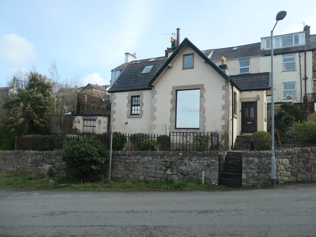
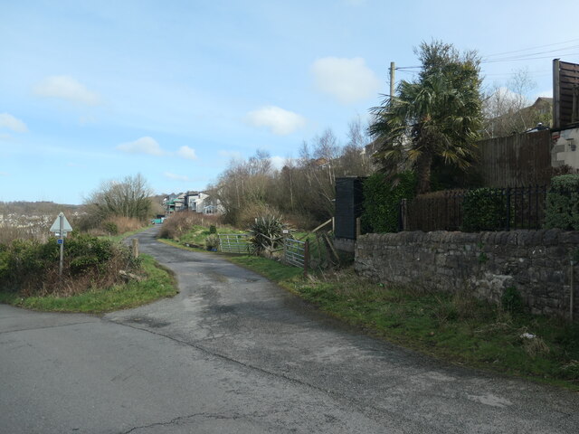
Bethel is a small village situated in the county of Caernarfonshire, Wales. It is located in the northern part of the country, near the coast of the Irish Sea. The village is nestled in the picturesque countryside, surrounded by rolling hills and lush greenery, providing a tranquil and scenic environment.

The village is home to a close-knit community, with a population of approximately 1,000 residents. The main language spoken in Bethel is Welsh, reflecting the rich cultural heritage of the region. The village has a strong sense of community, with various local events and activities organized throughout the year, fostering a sense of belonging.

Bethel offers a range of amenities to its residents and visitors. The village has a primary school, providing education to local children, and a community center that hosts various social and cultural events. There are also a few local shops, a post office, and a pub, providing essential services and a gathering place for residents.

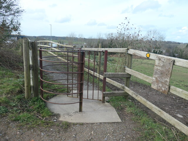
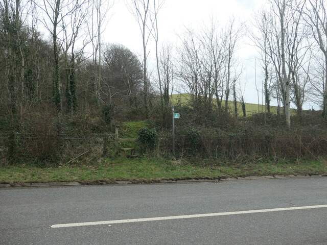
The surrounding area of Bethel offers stunning natural beauty and outdoor recreational opportunities. The nearby Snowdonia National Park is a popular destination for hiking, mountain biking, and enjoying the breathtaking landscapes. The coastline is also easily accessible, offering opportunities for coastal walks and water activities.

Overall, Bethel is a charming village that provides a peaceful and idyllic setting for its residents. With its strong community spirit and natural beauty, it is a place that attracts visitors seeking a serene and authentic Welsh experience.

If you have any feedback on the listing, please let us know in the comments section below.
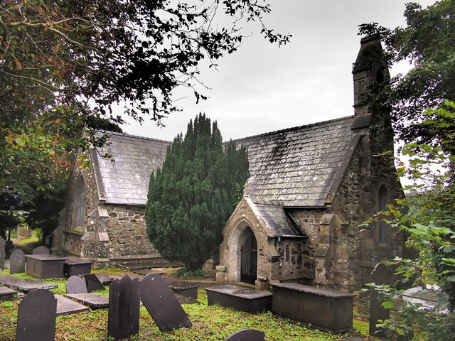
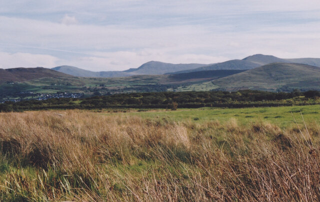
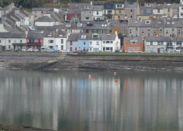
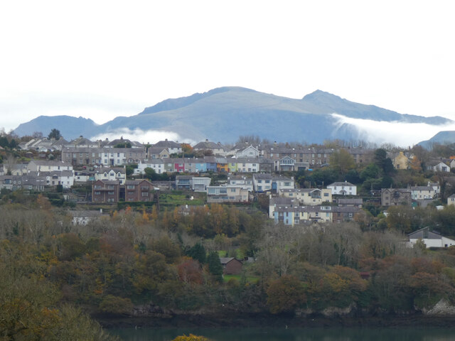
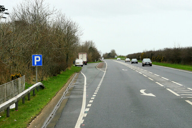
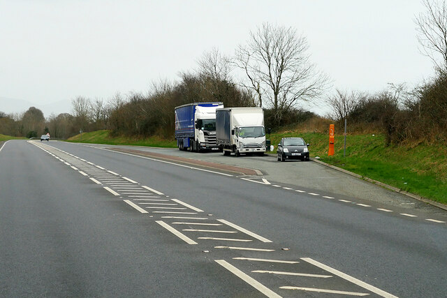
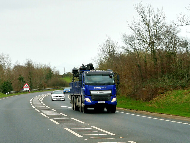
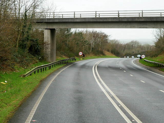
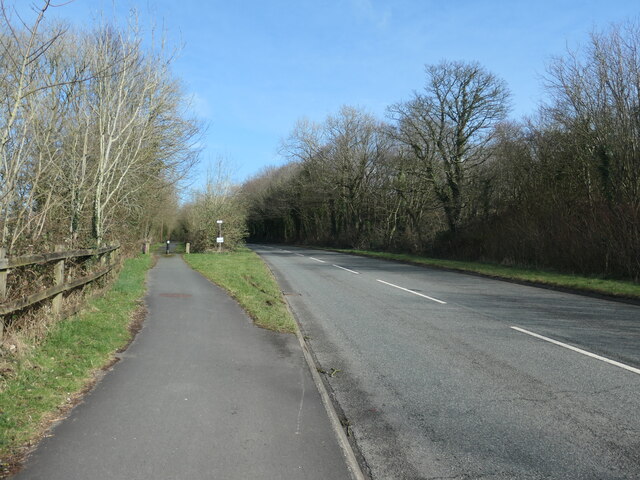
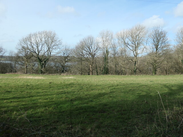
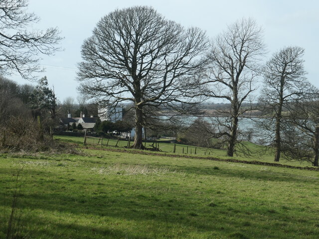
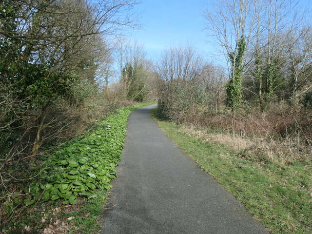
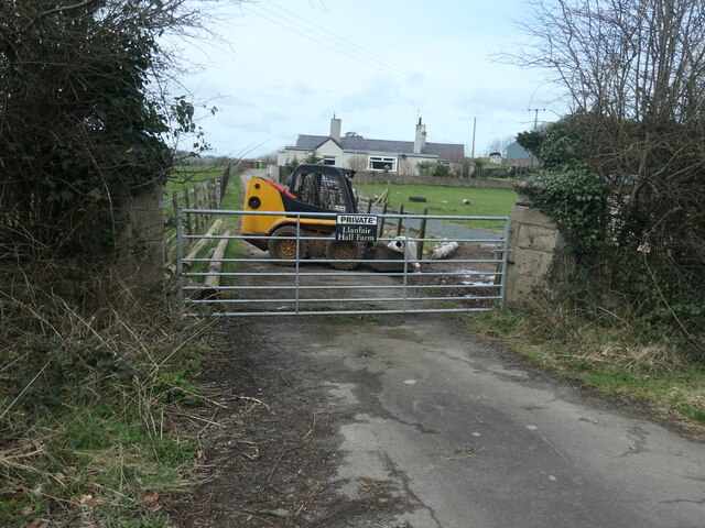
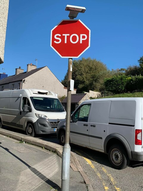
Bethel Images

Images are sourced within 2km of 53.166379/-4.203322 or Grid Reference SH5265. Thanks to Geograph Open Source API. All images are credited.

St Deiniol's Church, Llanddeiniolen
Wetland at Llanddeiniolen The Carneddau form the background.
Wetland at Llanddeiniolen
The Carneddau form the background.
O Fôn i'r Felinheli / Felinheli from Anglesey
Y Felinheli a'r Wyddfa / Felinheli and Snowdon
Layby on the Westbound A487
Layby on Felinheli Bypass (Eastbound)
Truck on the Y Felinheli Bypass (A487) DAF XF (CX18 MON) on the A487 near Y Felinheli.
Truck on the Y Felinheli Bypass (A487)
DAF XF (CX18 MON) on the A487 near Y Felinheli.
Bridge over the Y Felinheli Bypass near Carreg Goch
Lon Las Menai, near Llanfair Hall Farm The end of a short stretch along the pavement of Ffordd Caernarfon / Caernarfon Road.
Lon Las Menai, near Llanfair Hall Farm
The end of a short stretch along the pavement of Ffordd Caernarfon / Caernarfon Road.
The southern edge of Llanfair Wood Descending to the shore of the Menai Straits.
The southern edge of Llanfair Wood
Descending to the shore of the Menai Straits.
Trees along a field boundary, near Plas Llanfair Seen from Lon Las Menai.
Trees along a field boundary, near Plas Llanfair
Seen from Lon Las Menai.
Lon Las Menai, nearing Y Felinheli A recreational route built on the trackbed of the former Caernarfon - Bangor railway.
Lon Las Menai, nearing Y Felinheli
A recreational route built on the trackbed of the former Caernarfon - Bangor railway.
Crossing Cottage, Y Felinheli Now you just have to cross Glan y Mor / Beach Road to reach this house. But the name refers to the former level crossing here on the Bangor - Caernarfon railway line.
Crossing Cottage, Y Felinheli
Now you just have to cross Glan y Mor / Beach Road to reach this house. But the name refers to the former level crossing here on the Bangor - Caernarfon railway line.
Route of the railway between Bangor and Caernarfon Now an access track for houses on Ffordd Caernarfon / Caernarfon Road. Not part of Lon Las Menai.
Route of the railway between Bangor and Caernarfon
Now an access track for houses on Ffordd Caernarfon / Caernarfon Road. Not part of Lon Las Menai.
Path to the sea shore, Y Felinheli Fenced, gated and waymarked, but not mapped as a public footpath.
Path to the sea shore, Y Felinheli
Fenced, gated and waymarked, but not mapped as a public footpath.
Public footpath heading south-east towards Bethel On the south side of Caernarfon Road, near Llanfair Hall Farm.
Public footpath heading south-east towards Bethel
On the south side of Caernarfon Road, near Llanfair Hall Farm.
An entrance to Llanfair Hall Farm On the north side of Caernarfon Road.
An entrance to Llanfair Hall Farm
On the north side of Caernarfon Road.
Stop sign at the junction of Snowdon Street and Bangor Street, Y Felinheli
Show me another place!

Bethel is located at Grid Ref: SH5265 (Lat: 53.166379, Lng: -4.203322)

Unitary Authority: Gwynedd

Police Authority: North Wales

What 3 Words

///tedious.sandpaper.shrubbery. Near Llanrug, Gwynedd

Nearby Locations

Bethel Saron

Related Wikis

Bethel, Gwynedd

Bethel is a village in Gwynedd, Wales. It lies east of Caernarfon on the B4366 road. Bethel Primary School is located in the village. The population of...

GreenWood

GreenWood (Welsh: Gelli Gyffwrdd), formerly GreenWood Forest Park and The GreenWood Centre, is a family fun park at Y Felinheli in Gwynedd, Wales. The...

Y Felinheli

Y Felinheli (), formerly known in English as Port Dinorwic, is a village and community beside the Menai Strait (Welsh: Y Fenai or Afon Menai) between Bangor...
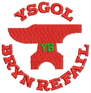
Ysgol Brynrefail

Ysgol Brynrefail is a bilingual comprehensive school for pupils aged 11–18. It is situated in Llanrug in Gwynedd, north Wales. Most of the school's pupils...

Llanddeiniolen

Llanddeiniolen (Welsh: [ɬanðɛinɪˈɔlɛn]; ) is the name of a community area, in the county of Gwynedd, Wales, and is 124 miles (200 km) from Cardiff and...

Port Dinorwic railway station

Port Dinorwic railway station was the name of two railway stations located on the Bangor and Carnarvon Railway near the village of Port Dinorwic (now Y...

Llanrug

Llanrug (or Llanfihangel-yn-y-grug) is a medium-sized village and community in Gwynedd, north-west Wales. It lies about 4 miles (6.4 km) to the east of...
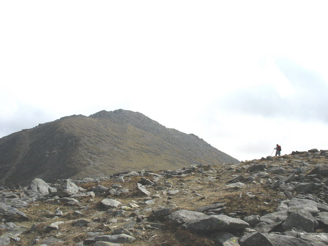
Y Fronllwyd

Y Fronllwyd, also known as Carnedd y Filiast North Top, is a top of Carnedd y Filiast in Snowdonia, Wales forming part of the Glyderau. It is the northern...

Nearby Amenities

Located within 500m of 53.166379,-4.203322
Crossing
Lat/Long: 53.1652075/-4.2051219
Turning Circle
Lat/Long: 53.1652042/-4.2073147
Noexit: yes
Lat/Long: 53.1664753/-4.2066734
Bethel
Place: village
Population: 1000
Wikidata: Q3402550
Wikipedia: en:Bethel, Gwynedd
Lat/Long: 53.1651594/-4.2063605
Ceir Cymru
Addr Postcode: LL55 1UN
Shop: car
Website: https://www.ceir-cymru.com/
Lat/Long: 53.1649878/-4.2026321
Bus Stop
Bus: yes
Public Transport: platform
Lat/Long: 53.165262/-4.2019338
Bus Stop
Bus: yes
Public Transport: platform
Lat/Long: 53.1653065/-4.2008442
Bus Stop
Bus: yes
Public Transport: platform
Lat/Long: 53.1653185/-4.2040944
Bus Stop
Bus: yes
Public Transport: platform
Lat/Long: 53.165148/-4.2054225
Power: pole
Lat/Long: 53.1644601/-4.208621
Power: pole
Lat/Long: 53.1648355/-4.2060901
Power: pole
Lat/Long: 53.1645726/-4.2080631
Power: pole
Lat/Long: 53.1648355/-4.2067714
Power: pole
Lat/Long: 53.164723/-4.2081393
Power: pole
Lat/Long: 53.1643049/-4.2094107
Power: pole
Lat/Long: 53.1641473/-4.2097754
Power: pole
Lat/Long: 53.1648484/-4.2075438
Power: pole
Lat/Long: 53.1649835/-4.2068411
Power: pole
Lat/Long: 53.164694/-4.2074634
Power: pole
Lat/Long: 53.1646201/-4.2087026
Power: pole
Lat/Long: 53.1638755/-4.1996633
Power: pole
Lat/Long: 53.1636761/-4.20105
Power: pole
Lat/Long: 53.1636697/-4.2008596
Power: pole
Lat/Long: 53.1636793/-4.2021015
Power: pole
Lat/Long: 53.1640817/-4.1986846
Power: pole
Lat/Long: 53.164548/-4.1970592
Power: substation
Lat/Long: 53.166109/-4.202986
Direction: S
Generator Method: photovoltaic
Generator Output Electricity: yes
Generator Solar Modules: 6
Generator Source: solar
Generator Type: solar_photovoltaic_panel
Location: roof
Power: generator
Lat/Long: 53.1654853/-4.2034192
Direction: 280
Generator Method: photovoltaic
Generator Output Electricity: yes
Generator Solar Modules: 16
Generator Source: solar
Generator Type: solar_photovoltaic_panel
Location: roof
Power: generator
Lat/Long: 53.1666227/-4.2021726
Direction: SSE
Generator Method: photovoltaic
Generator Output Electricity: yes
Generator Solar Modules: 8
Generator Source: solar
Generator Type: solar_photovoltaic_panel
Location: roof
Power: generator
Lat/Long: 53.1656756/-4.2094226
Direction: SE
Generator Method: photovoltaic
Generator Output Electricity: yes
Generator Solar Modules: 16
Generator Source: solar
Generator Type: solar_photovoltaic_panel
Location: roof
Power: generator
Lat/Long: 53.1683595/-4.2045175
Direction: 125
Generator Method: photovoltaic
Generator Output Electricity: yes
Generator Solar Modules: 4
Generator Source: solar
Generator Type: solar_photovoltaic_panel
Location: roof
Power: generator
Lat/Long: 53.1661203/-4.2008127
Direction: 125
Generator Method: photovoltaic
Generator Output Electricity: yes
Generator Solar Modules: 4
Generator Source: solar
Generator Type: solar_photovoltaic_panel
Location: roof
Power: generator
Lat/Long: 53.1661395/-4.2007671
Direction: 175
Generator Method: photovoltaic
Generator Output Electricity: yes
Generator Solar Modules: 18
Generator Source: solar
Generator Type: solar_photovoltaic_panel
Location: roof
Power: generator
Lat/Long: 53.165112/-4.2005137
The data included in this document is from www.openstreetmap.org. The data is made available under ODbL.

Have you been to Bethel?

Leave your review of Bethel below (or comments, questions and feedback).