Newtown
Settlement in Huntingdonshire Huntingdonshire
England
Newtown
Newtown is a small village located in the district of Huntingdonshire, Cambridgeshire, England. Situated approximately 4 miles south of the market town of Huntingdon, Newtown is home to a close-knit community of around 500 residents.
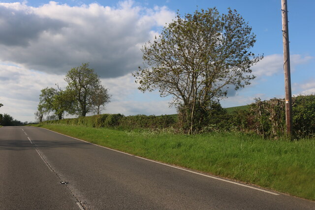
The village is characterized by its charming, rural setting, surrounded by picturesque countryside and rolling hills. It boasts a tranquil and peaceful atmosphere, making it an ideal retreat for those seeking a break from the hustle and bustle of city life.
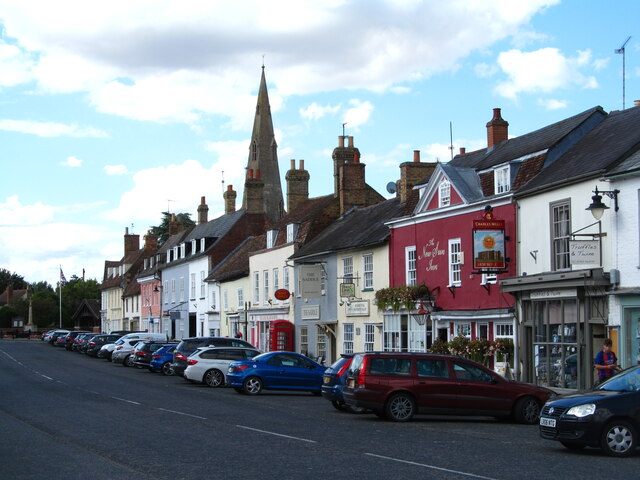
Despite its small size, Newtown offers a range of amenities to its residents. The village is served by a local primary school, ensuring that families have easy access to education for their children. Additionally, Newtown is well-connected to nearby towns and cities via a network of roads, making commuting convenient for those working outside the village.
Nature enthusiasts will find Newtown to be a haven, as it benefits from its proximity to several nature reserves and green spaces. The local countryside provides ample opportunities for walking, cycling, and exploring the great outdoors. Nearby Hinchingbrooke Country Park offers beautiful landscapes, woodlands, and a lake, making it a popular spot for leisure activities.
Overall, Newtown exudes a sense of tranquility and natural beauty, making it an attractive place to live for those seeking a peaceful rural lifestyle while still being within reach of essential amenities and nearby towns.
If you have any feedback on the listing, please let us know in the comments section below.
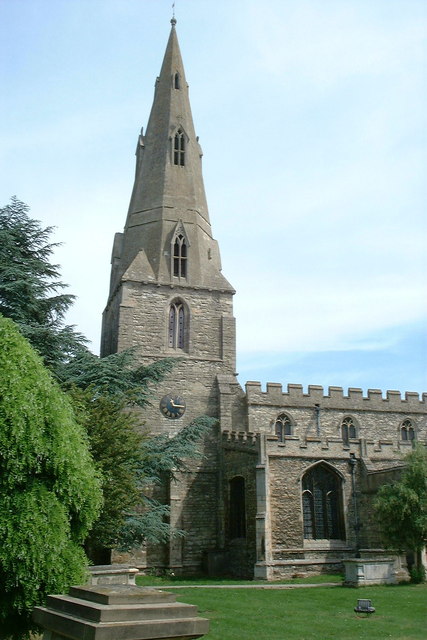
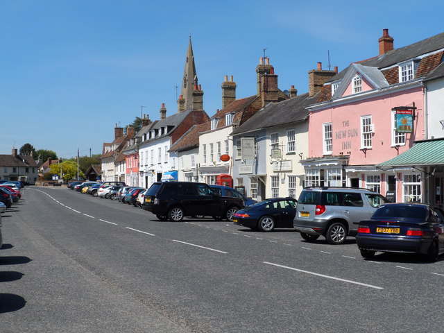
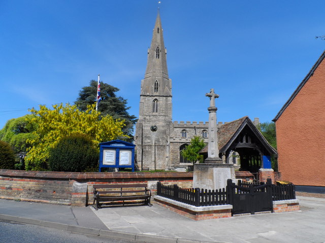
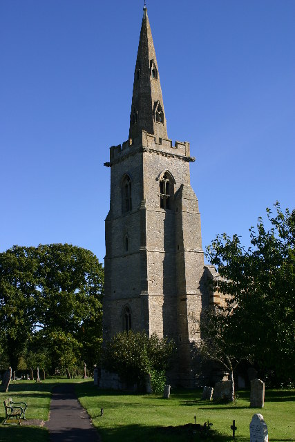
Newtown Images
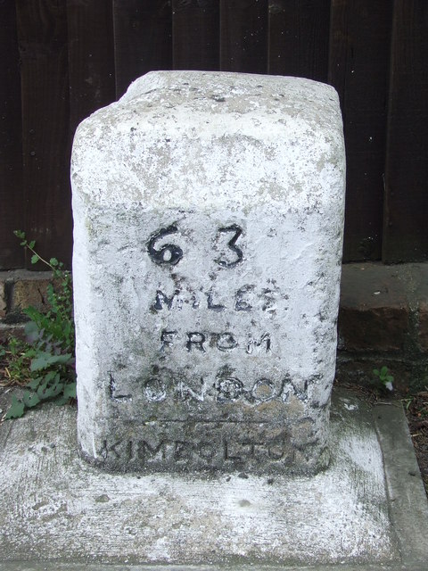
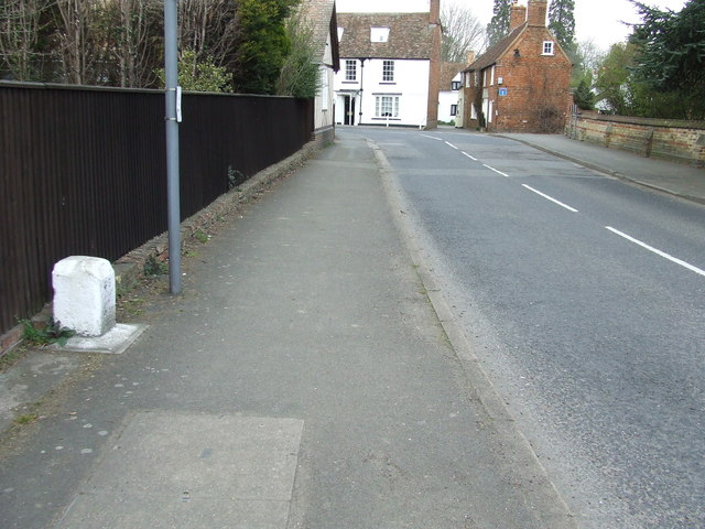
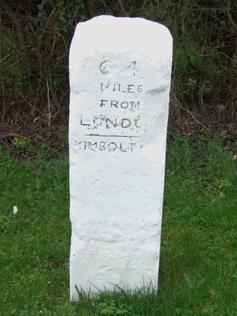
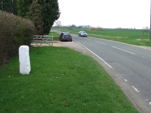
Images are sourced within 2km of 52.300451/-0.389722 or Grid Reference TL0968. Thanks to Geograph Open Source API. All images are credited.


Newtown is located at Grid Ref: TL0968 (Lat: 52.300451, Lng: -0.389722)
Administrative County: Cambridgeshire
District: Huntingdonshire
Police Authority: Cambridgeshire
What 3 Words
///tweezers.applauded.noble. Near Kimbolton, Cambridgeshire
Nearby Locations
Related Wikis

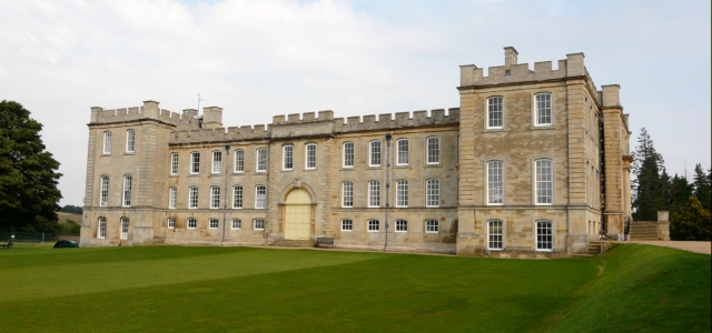
Kimbolton Castle
Kimbolton Castle is a country house in Kimbolton, Cambridgeshire, England. It was the final home of King Henry VIII's first wife, Catherine of Aragon....
Kimbolton School
Kimbolton School is a British HMC co-educational private boarding and day school in the village of Kimbolton, Cambridgeshire, England. There are 1000...

Kimbolton, Cambridgeshire
Kimbolton is a town and civil parish in the Huntingdonshire district of Cambridgeshire, England. Kimbolton is about 9 miles (14 km) west of Huntingdon...

Stonely
Stonely is a hamlet next to Kimbolton in Cambridgeshire, England. It is part of the parish of Kimbolton and Stonely. The hamlet was formerly the site...
Nearby Amenities
Located within 500m of 52.300451,-0.389722Have you been to Newtown?
Leave your review of Newtown below (or comments, questions and feedback).