Newtown

Settlement in Staffordshire Staffordshire Moorlands

England

Newtown

Direction Sign – Signpost near Newtown Located on the north side of the junction of Millmoor Edge, Shawfields and Swallow Moss in Heathylee parish. 4 arms, 1 missing, and pawn finial. See also <a title="https://www.geograph.org.uk/photo/6324291" href="https://www.geograph.org.uk/photo/6324291">Link</a> and <a title="https://www.geograph.org.uk/photo/6526213" href="https://www.geograph.org.uk/photo/6526213">Link</a>.

Milestone Society National ID: ST_SK0462
Direction Sign – Signpost near Newtown Credit: L Marsden

Newtown is a small village located in the county of Staffordshire, England. Situated near the border of the West Midlands region, it is part of the Cannock Chase District. The village is nestled in a rural setting, surrounded by picturesque countryside and rolling hills, making it an appealing destination for nature lovers and outdoor enthusiasts.

With a population of around 1,500 residents, Newtown has a close-knit community, known for its friendly and welcoming atmosphere. The village retains a traditional charm, with a mix of historic buildings and modern developments. The local architecture reflects the area's rich history, with some buildings dating back several centuries.

Despite its small size, Newtown offers a range of amenities to cater to the needs of its residents. These include a primary school, a post office, a village shop, and a pub, providing a sense of convenience and community spirit. Additionally, the village is well-connected to larger towns and cities in the region through a network of roads, making it easily accessible for commuters and visitors.

Newtown enjoys a prime location, with several attractions and places of interest in close proximity. Nearby is the Cannock Chase Area of Outstanding Natural Beauty, a vast expanse of woodlands and heathlands that offers a range of recreational activities, such as walking, cycling, and wildlife spotting. The village is also within reach of the bustling town of Stafford, known for its rich history, including its medieval castle and vibrant town center.

Overall, Newtown, Staffordshire offers a tranquil and idyllic setting, combined with convenient amenities and access to nearby attractions, making it an attractive place to live or visit.

If you have any feedback on the listing, please let us know in the comments section below.
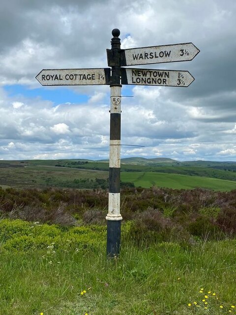
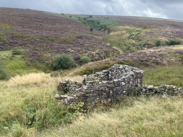
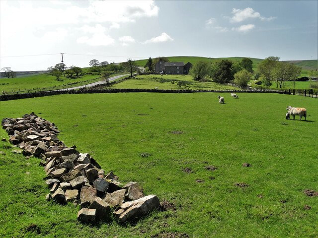
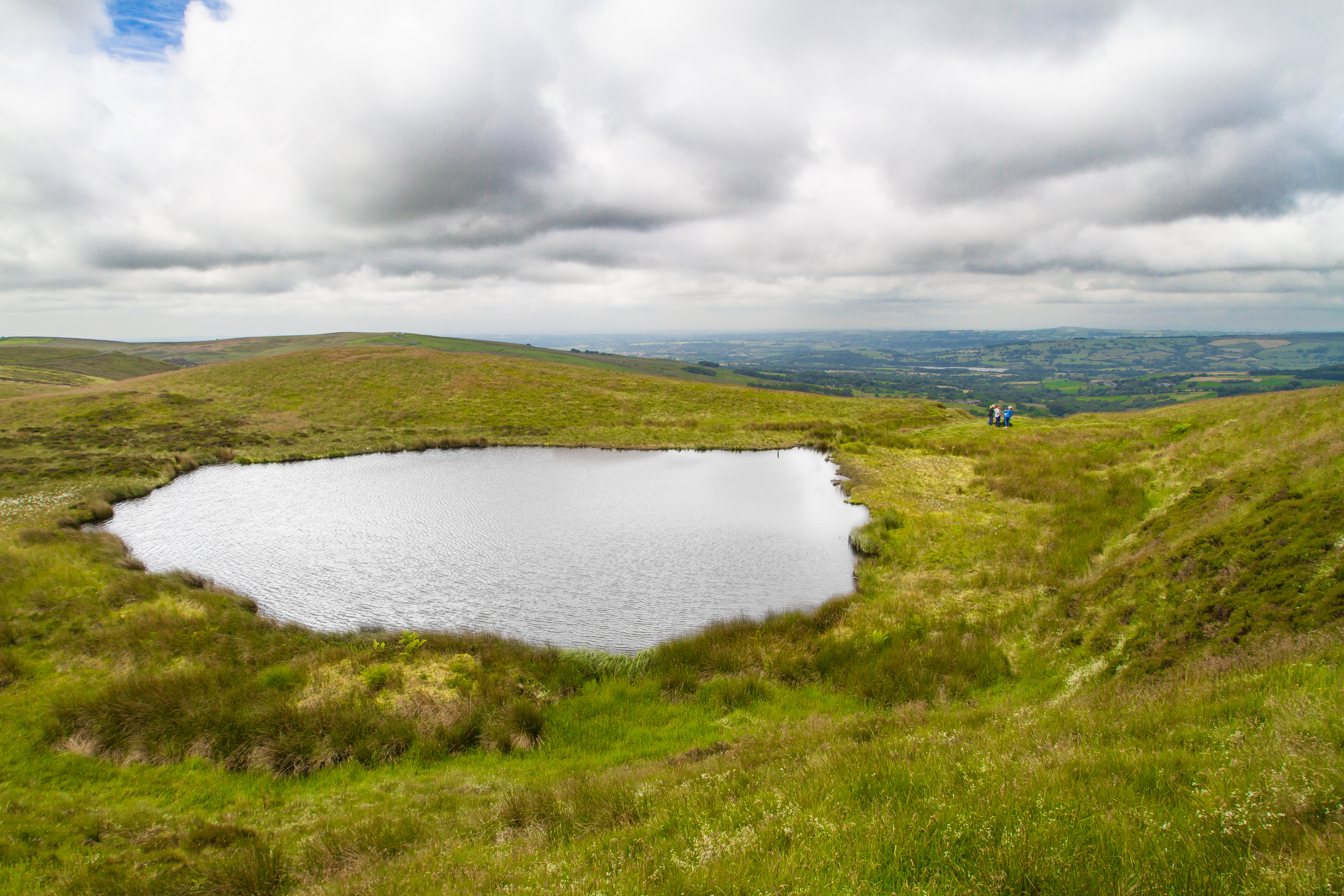
Newtown Images

Images are sourced within 2km of 53.164971/-1.909772 or Grid Reference SK0663. Thanks to Geograph Open Source API. All images are credited.

Direction Sign – Signpost near Newtown Located on the north side of the junction of Millmoor Edge, Shawfields and Swallow Moss in Heathylee parish. 4 arms, 1 missing, and pawn finial. See also <a title="https://www.geograph.org.uk/photo/6324291" href="https://www.geograph.org.uk/photo/6324291">Link</a> and <a title="https://www.geograph.org.uk/photo/6526213" href="https://www.geograph.org.uk/photo/6526213">Link</a>.

Milestone Society National ID: ST_SK0462
Direction Sign – Signpost near Newtown
Located on the north side of the junction of Millmoor Edge, Shawfields and Swallow Moss in Heathylee parish. 4 arms, 1 missing, and pawn finial. See also Link and Link. Milestone Society National ID: ST_SK0462
Farm track to Boarsgrove
Moorland ruin
Moorland ruin
Farmhouse and roadside Road junction and farmhouse in Fawfieldhead.
Farmhouse and roadside
Road junction and farmhouse in Fawfieldhead.
Woodland track One of the tracks into the woods, known as The Hills.
Woodland track
One of the tracks into the woods, known as The Hills.
Hillside view Looking north east.
Hillside view
Looking north east.
The hill side lane Looking south west up the narrow lane which provides access to a camp site.
The hill side lane
Looking south west up the narrow lane which provides access to a camp site.
Towards Oakenclough Looking in a western direction towards Oakenclough and Hardings Booth.
Towards Oakenclough
Looking in a western direction towards Oakenclough and Hardings Booth.
Autumn colours A variety of wild plants and colours on the roadside bank.
Autumn colours
A variety of wild plants and colours on the roadside bank.
Passing place One of several passing places on the single track lane.
Passing place
One of several passing places on the single track lane.
Woods and track One of several wood land tracks into The Hills Wood.
Woods and track
One of several wood land tracks into The Hills Wood.
Barn Restoration An old field barn being converted into residential accommodation.
Barn Restoration
An old field barn being converted into residential accommodation.
School Clough The farmhouse at School Clough.
School Clough
The farmhouse at School Clough.
The Green A cluster of farm buildings known as The Green.
The Green
A cluster of farm buildings known as The Green.
Roadside View The road at the entrance to School Clough Farm.
Roadside View
The road at the entrance to School Clough Farm.
Sale Field A field full of lots for the School Clough Farm dispersal sale.
Sale Field
A field full of lots for the School Clough Farm dispersal sale.
Farm tractors The lineup of farm tractors ready for sale.
Farm tractors
The lineup of farm tractors ready for sale.
View to Merril Grove Farm
Show me another place!

Newtown is located at Grid Ref: SK0663 (Lat: 53.164971, Lng: -1.909772)

Administrative County: Staffordshire

District: Staffordshire Moorlands

Police Authority: Staffordshire

What 3 Words

///eradicate.spindles.haven. Near Leek, Staffordshire

Nearby Locations

Newtown

Related Wikis

Fawfieldhead

Fawfieldhead is a civil parish in Staffordshire, England. It is situated north-east of Leek and south of Buxton, in the Peak District National Park....

Blakemere Pond

Blakemere Pond, also known as Black Mere Pool or Mermaid's Pond, is a small, natural lake in Staffordshire, England, six miles north-west of Leek. The...

Merryton Low

Merryton Low is a hill in Staffordshire, England, a few miles east of Leek. It is in the civil parish of Fawfieldhead in the local government district...

Heathylee

Heathylee is a civil parish in the district of Staffordshire Moorlands in north-east Staffordshire, England. There is no village centre. The parish has...

St Bartholomew's Church, Longnor

The Church of St Bartholomew is a Grade II* listed Anglican church in the village of Longnor in north-east Staffordshire. It was built in the late 18th...

Hollinsclough

Hollinsclough is a small rural village in the county of Staffordshire in the English Midlands. It is within the Peak District National Park. == Location... ==

Longnor, Staffordshire

Longnor is a village in the Staffordshire Peak District, England. The settlement dates from early times, the first recorded church building being in the...

Parkhouse Hill

Parkhouse Hill is a small but distinctive hill in the Peak District National Park of the Hartington Middle Quarter civil parish, in the English county...

Nearby Amenities

Located within 500m of 53.164971,-1.909772
Newtown
Is In: Staffordshire Moorlands
Place: village
Lat/Long: 53.1653234/-1.9083706
Bus Stop
Newtown Main Road
Naptan AtcoCode: 3800C806600
Naptan Bearing: E
Naptan CommonName: Newtown Main Road
Naptan Indicator: Opp
Naptan Landmark: Main Rd
Naptan Street: Holly Grove Farm
Naptan Verified: no
Source: naptan_import
Lat/Long: 53.1670916/-1.9091665
Barrier: stile
Material: stone
Source: survey;gps
Stile: squeezer
Lat/Long: 53.1634938/-1.9045178
Barrier: stile
Material: stone
Source: survey;gps
Stile: stepover
Lat/Long: 53.1641045/-1.9065984
Barrier: stile
Material: wood
Source: survey;gps
Stile: stepover
Lat/Long: 53.1630992/-1.9135942
Barrier: stile
Material: stone
Source: survey;gps
Stile: squeezer
Lat/Long: 53.1634866/-1.9130807
Barrier: stile
Material: stone
Source: survey;gps
Stile: squeezer
Lat/Long: 53.164065/-1.9073901
Barrier: stile
Material: stone
Source: survey;gps
Stile: stepover
Lat/Long: 53.1640891/-1.9070754
Barrier: stile
Material: stone
Source: survey;gps
Stile: stepover
Lat/Long: 53.1642619/-1.9090838
Barrier: stile
Material: stone
Source: survey;gps
Stile: stepover
Lat/Long: 53.1642792/-1.90946
Barrier: stile
Material: stone
Source: survey;gps
Stile: squeezer
Lat/Long: 53.1643441/-1.9110371
Barrier: stile
Material: stone
Source: survey;gps
Stile: squeezer
Lat/Long: 53.1653215/-1.9126758
Barrier: entrance
Source: survey;gps
Lat/Long: 53.1660547/-1.9135312
Barrier: stile
Material: stone
Source: survey;gps
Stile: squeezer
Lat/Long: 53.1662206/-1.9139741
Barrier: stile
Material: steel
Source: survey;gps
Stile: squeezer
Lat/Long: 53.1668626/-1.9123403
Post Box
Post Box Type: lamp
Royal Cypher: EIIR
Royal Cypher Wikidata: Q33102113
Lat/Long: 53.1670151/-1.9091547
Defibrillator
Booth: K6
Covered: booth
Defibrillator Location: inside old red phone box, Newtown
Disused Amenity: telephone
Emergency: defibrillator
Man Made: telephone_box
Lat/Long: 53.1670159/-1.9092316
Barrier: stile
Material: wood
Source: survey;gps
Stile: stepover
Lat/Long: 53.167171/-1.9077663
Barrier: stile
Material: wood
Source: survey;gps
Stile: stepover
Lat/Long: 53.167571/-1.9076165
Barrier: stile
Material: wood
Source: survey;gps
Stile: stepover
Lat/Long: 53.1679945/-1.9139649
The data included in this document is from www.openstreetmap.org. The data is made available under ODbL.

Have you been to Newtown?

Leave your review of Newtown below (or comments, questions and feedback).